Monthly Archives: May 2015

Lakeview Trail, McCombe Lake and Swan Falls


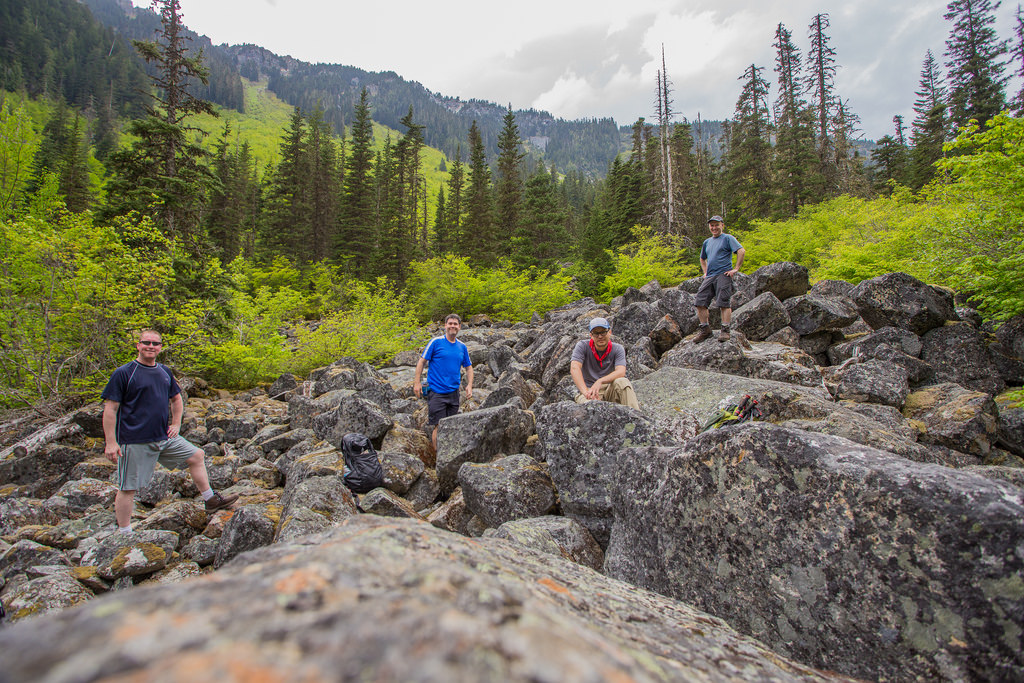
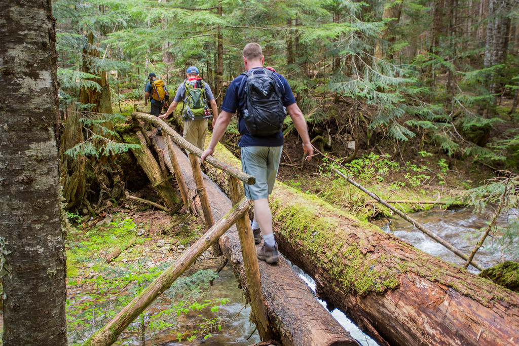
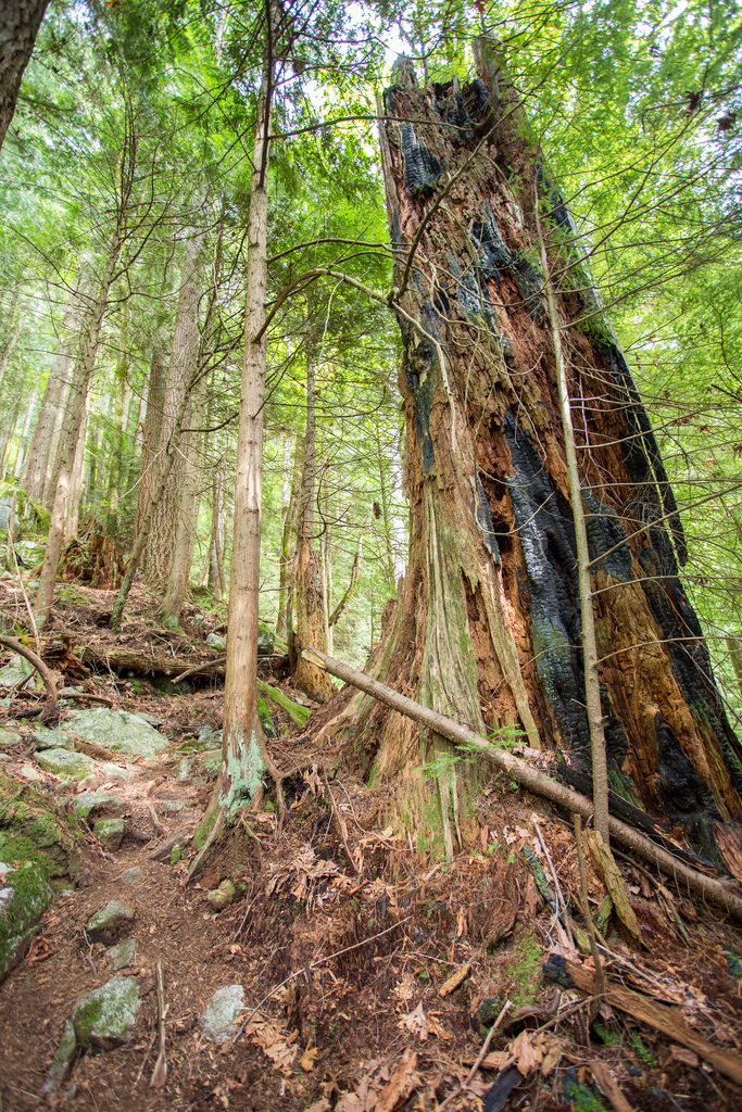
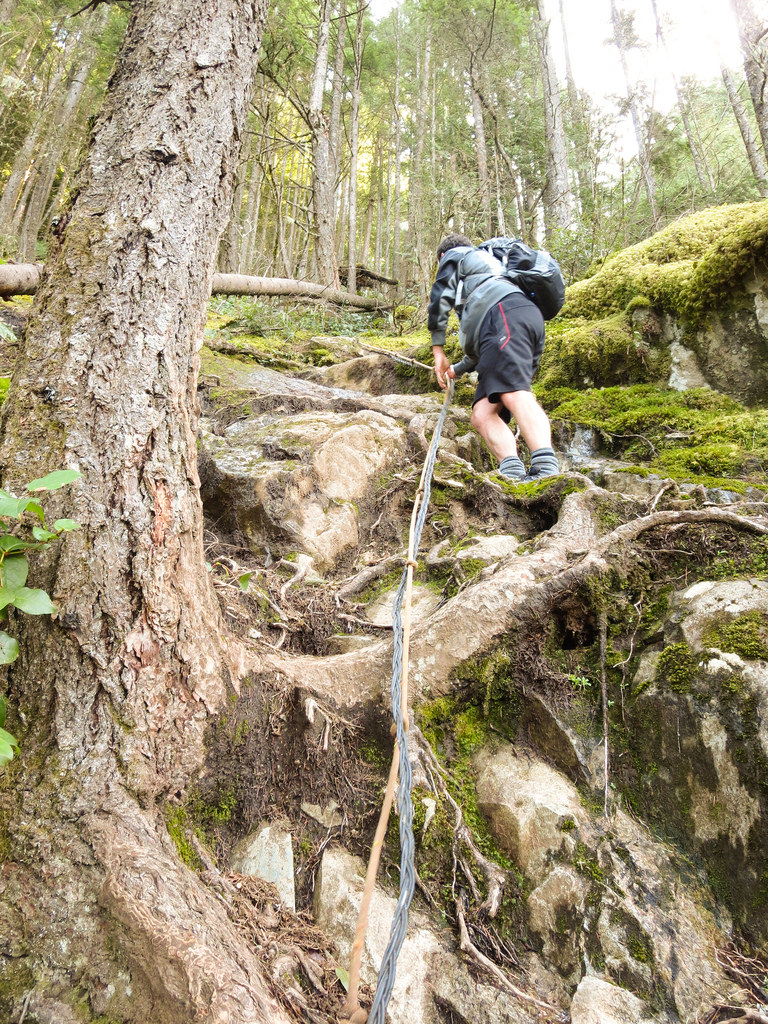
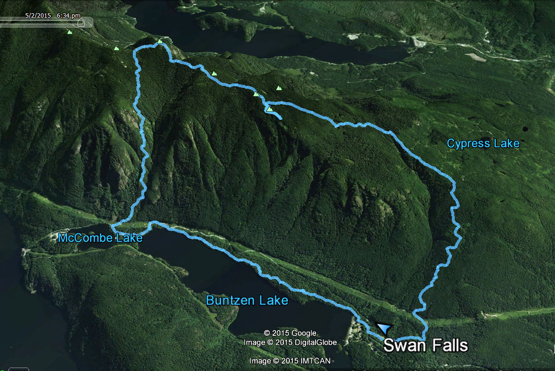
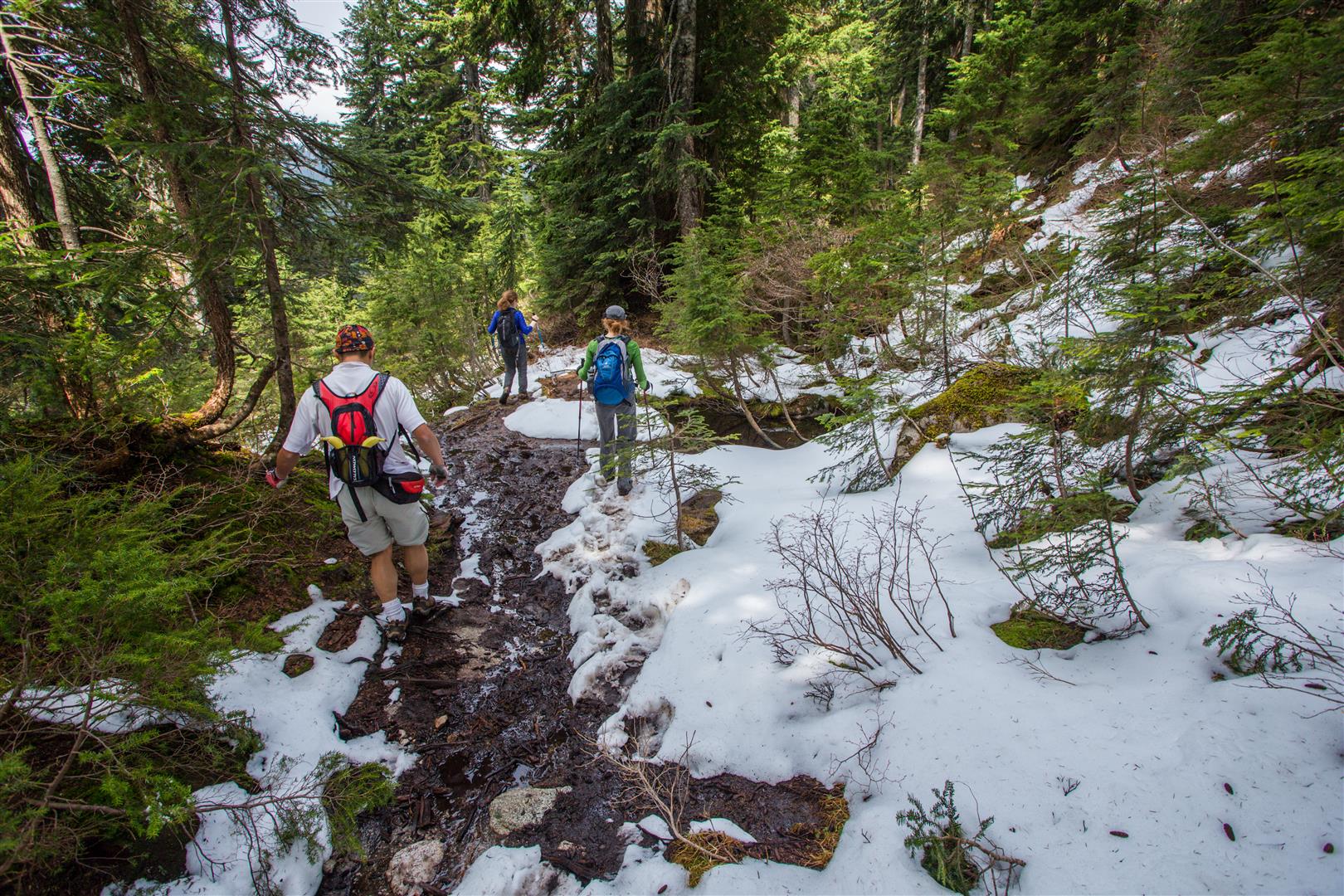
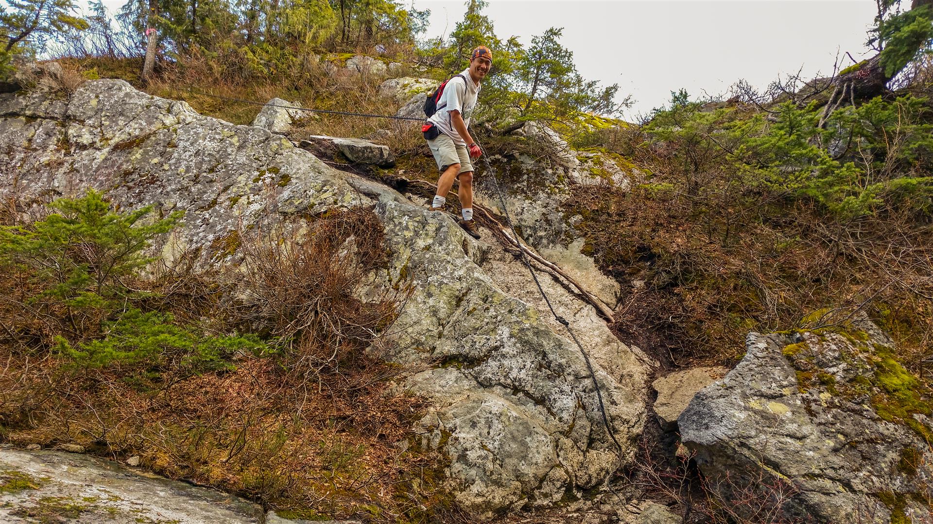
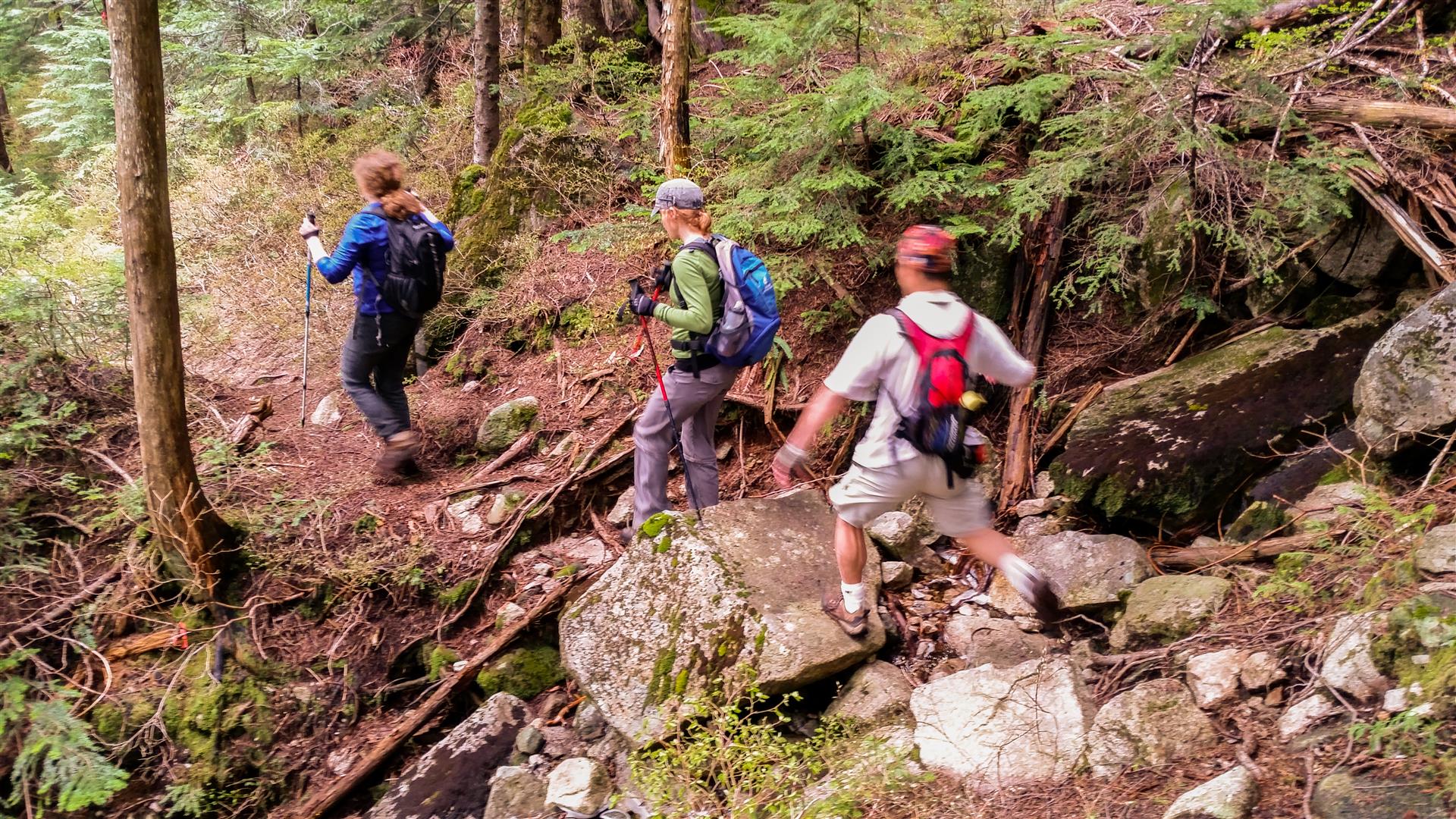
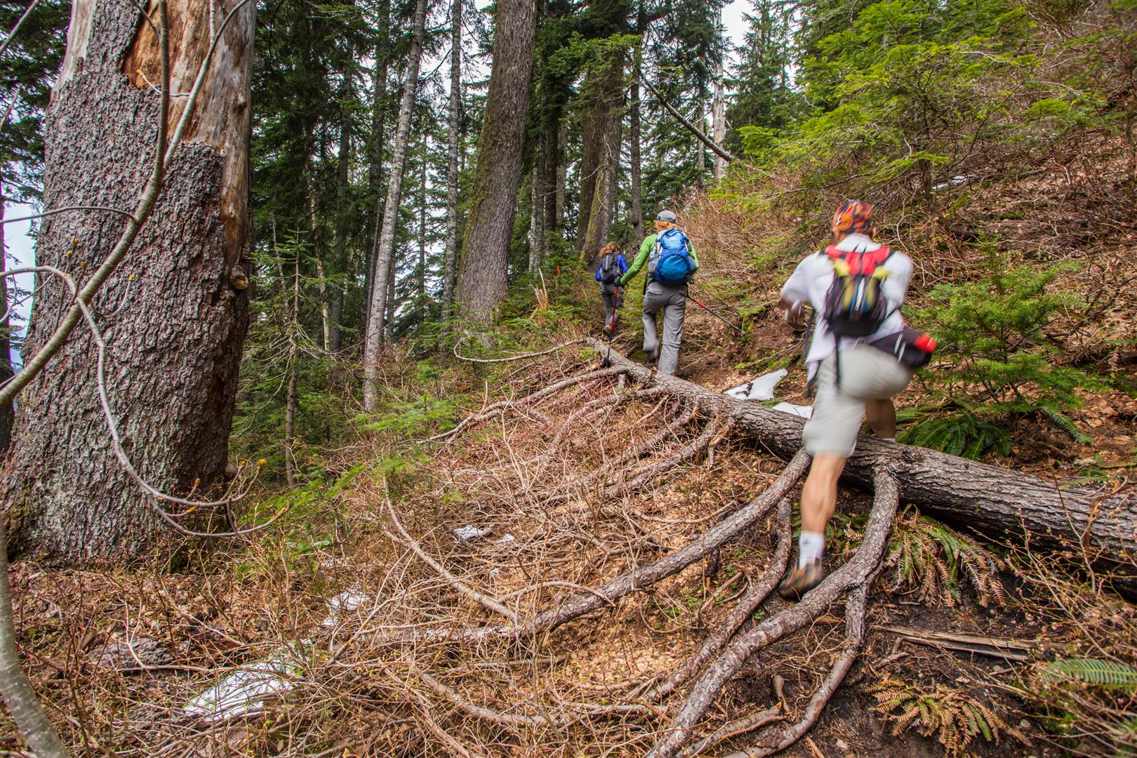
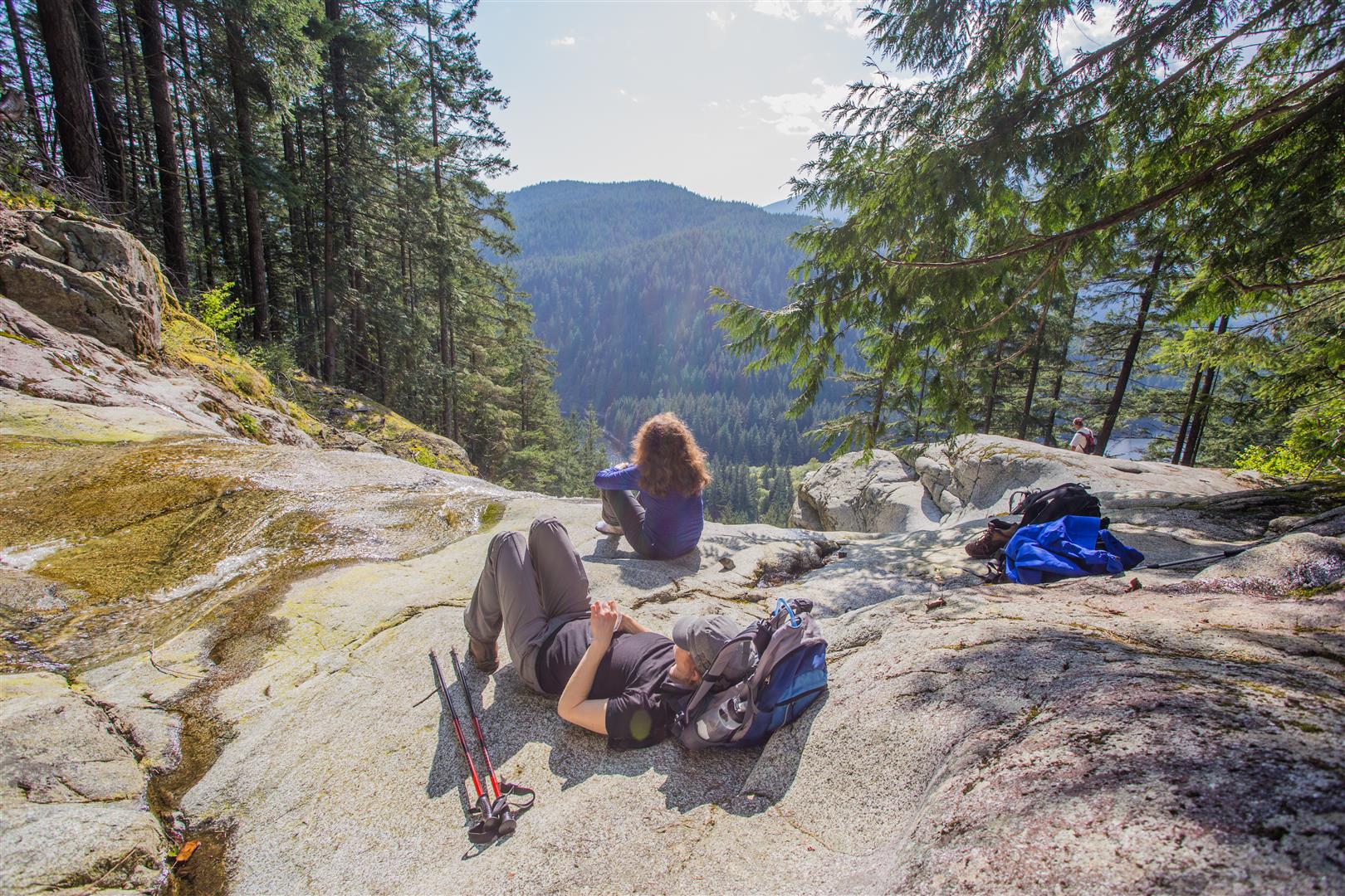
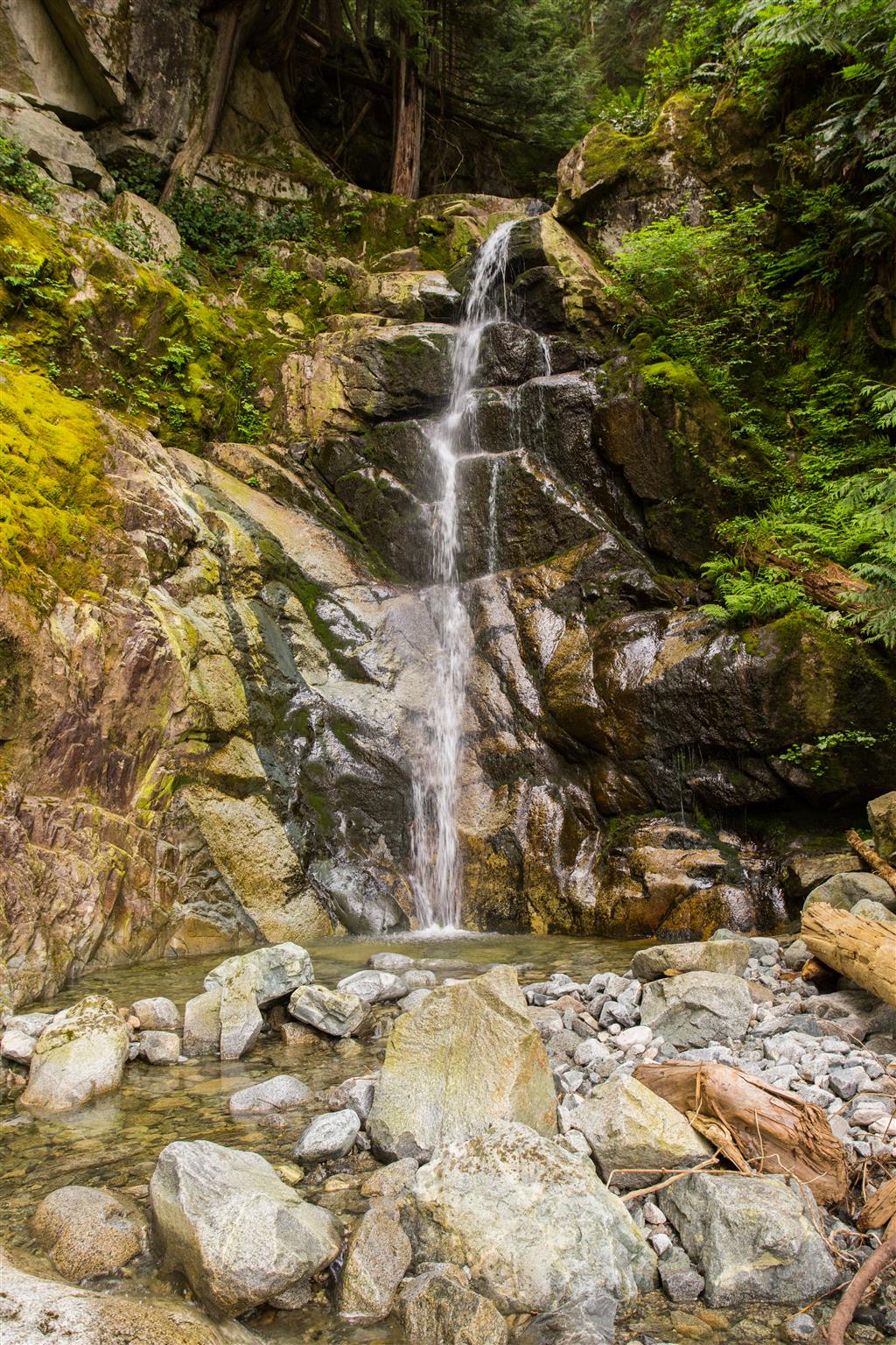
The original forecast for today was sunny with a high of 19. The morning of the hike, the forecast changed to sunny breaks in the afternoon. However, we saw no sun today ! It was overcast all day, but very comfortable temperature wise. This route is a slightly longer variation of the Buntzen Lake and Swan Falls route.  Our group of 4, set off at 8:45 am and made our way to the south end of Buntzen Lake, over the Floating bridge. At the Pumphouse, we choose the Lakeview Trail, which is a highly underused trail. After Lakeview Trail, we headed north on the Old Buntzen Lake Trail past McCombe Lake, the old intake station, the Buntzen Dam and the massive aquiduct. After a short walk on the service road, we reached the Swan Falls trailhead and ascended to the falls, which is a 200 m elevation gain. The cumulative elevation gain of 937 m is due to the many ups and downs on the route, so it’s not really indicative of a strenuous hike. In fact, the hike is quite easy, except for the 200 m elevation gain on the Swan Falls trail, but that is only for a short time. There are nice views from Lakeview trail and from Swan Falls. The Swan Falls area is a great place to relax on the smooth rocks, while listening to the water fall.

Today’s Stats:

Distance: 14.3 km (return)
Low point: 110 m
High point: 341 m
Elevation gain: 231 m
Cumulative Elevation gain: 937 m
Trailhead: 49° 20’ 11.4” by  122° 51’ 30” (Google Map)

Here is the route…

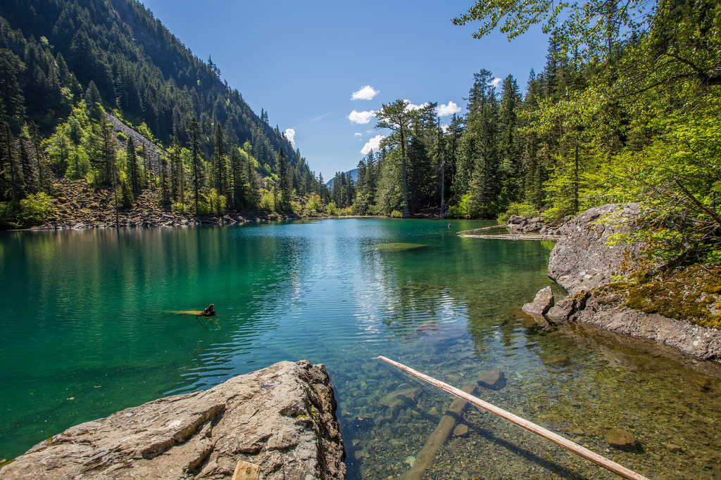
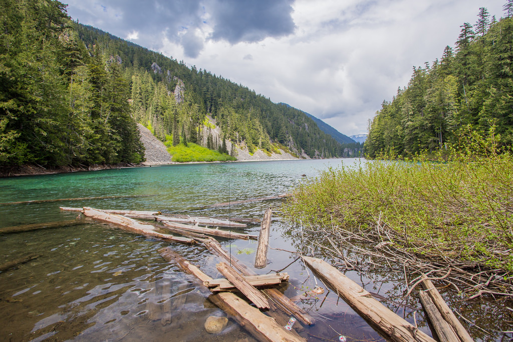
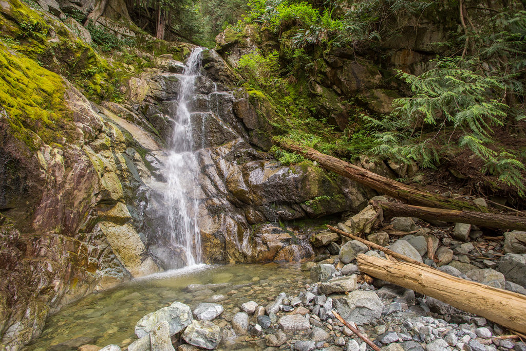
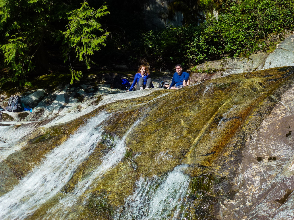
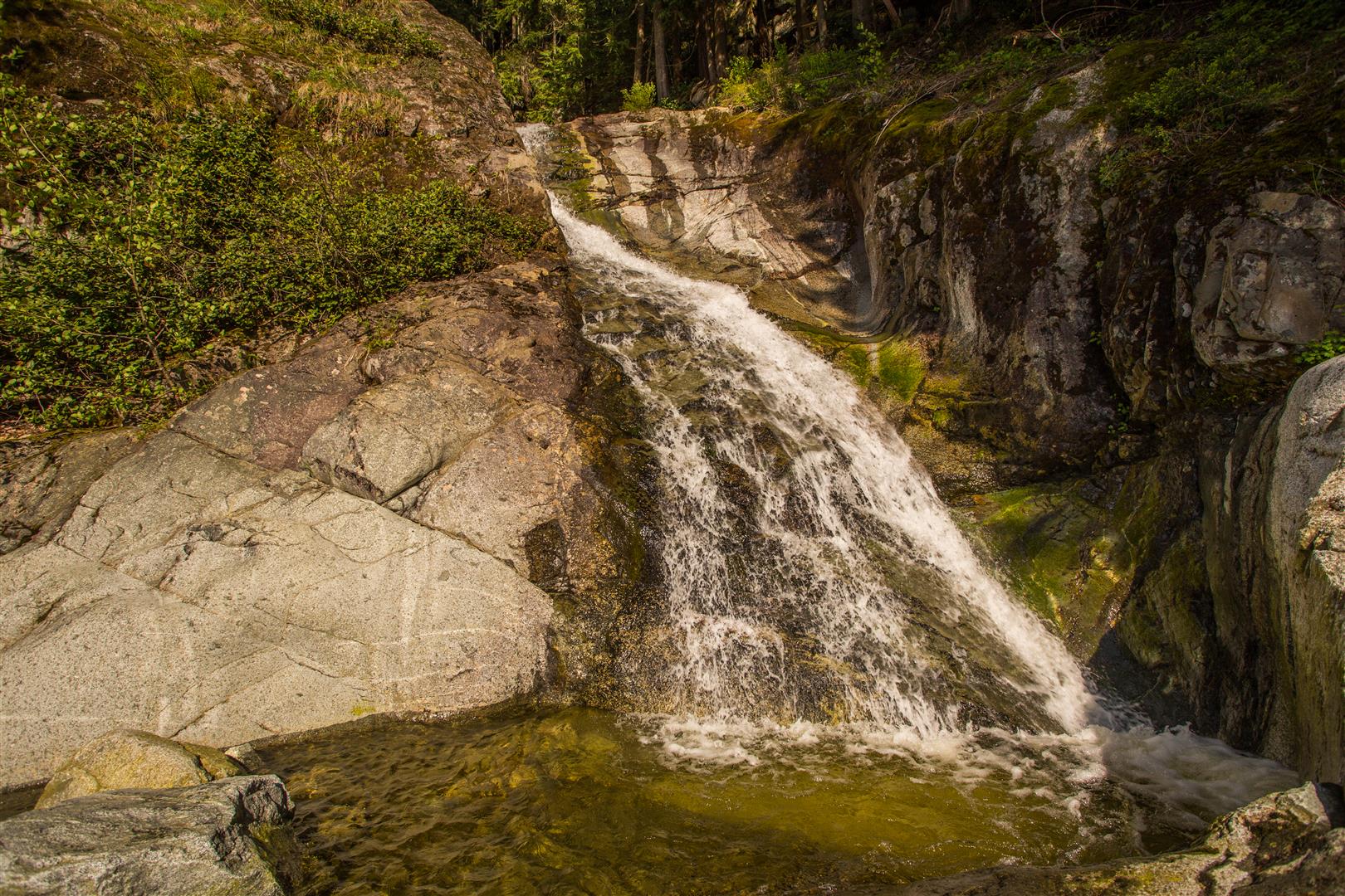
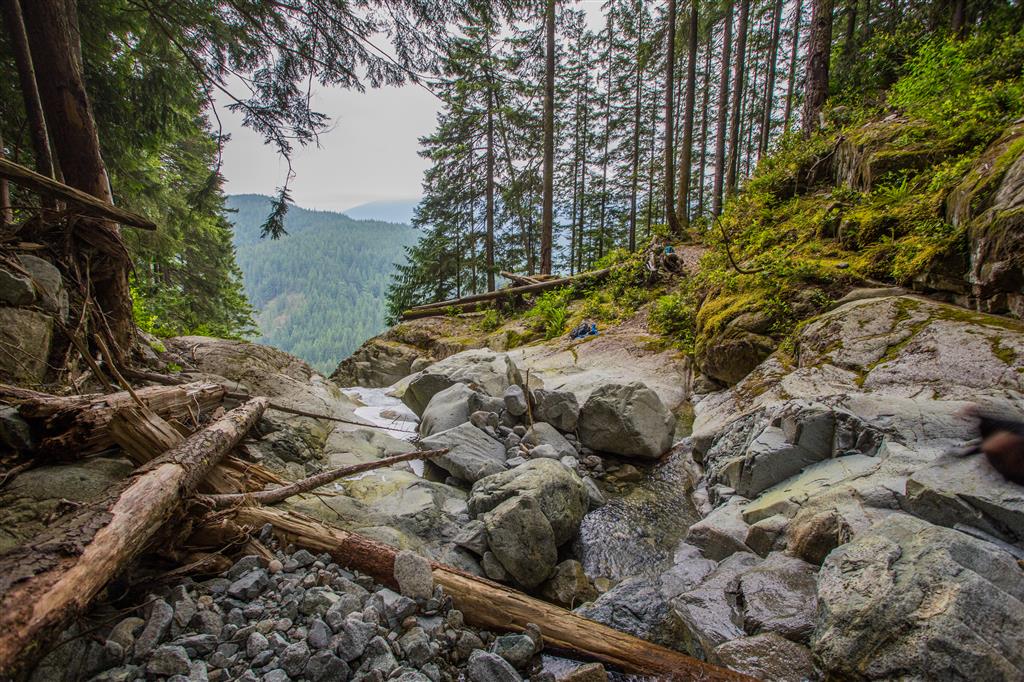
Here is a close up of Swan Falls…

Swan Falls

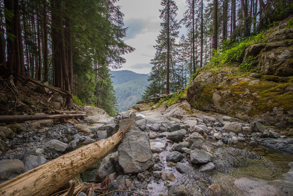
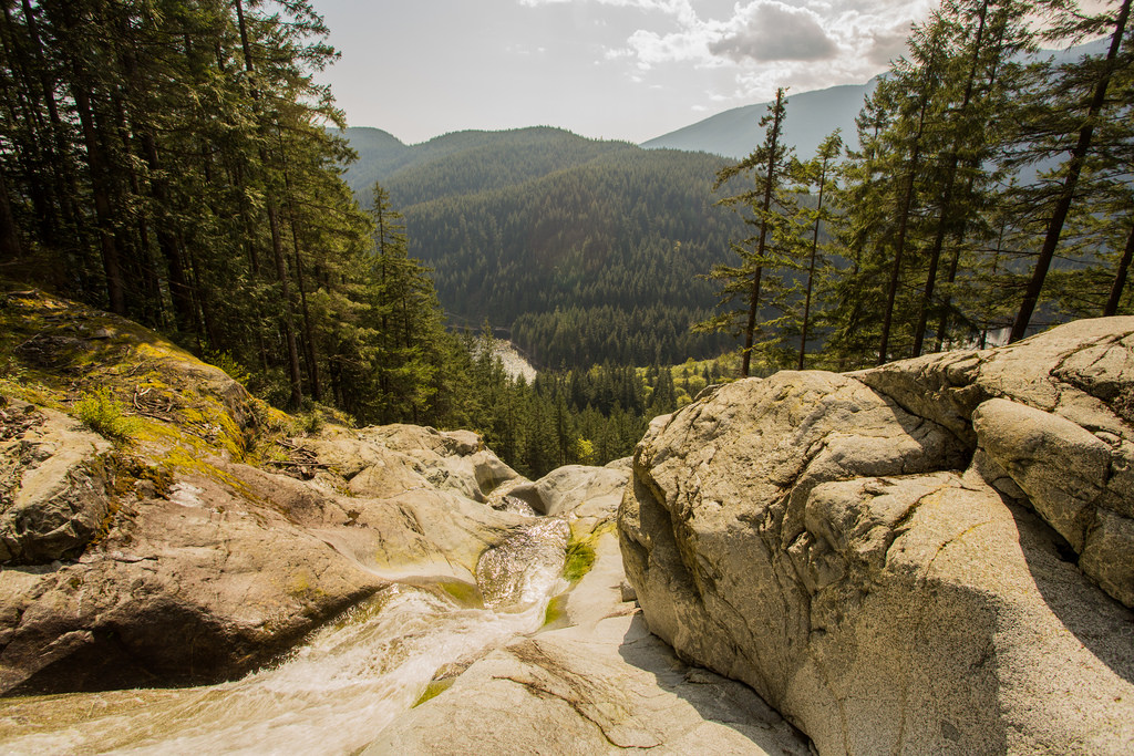
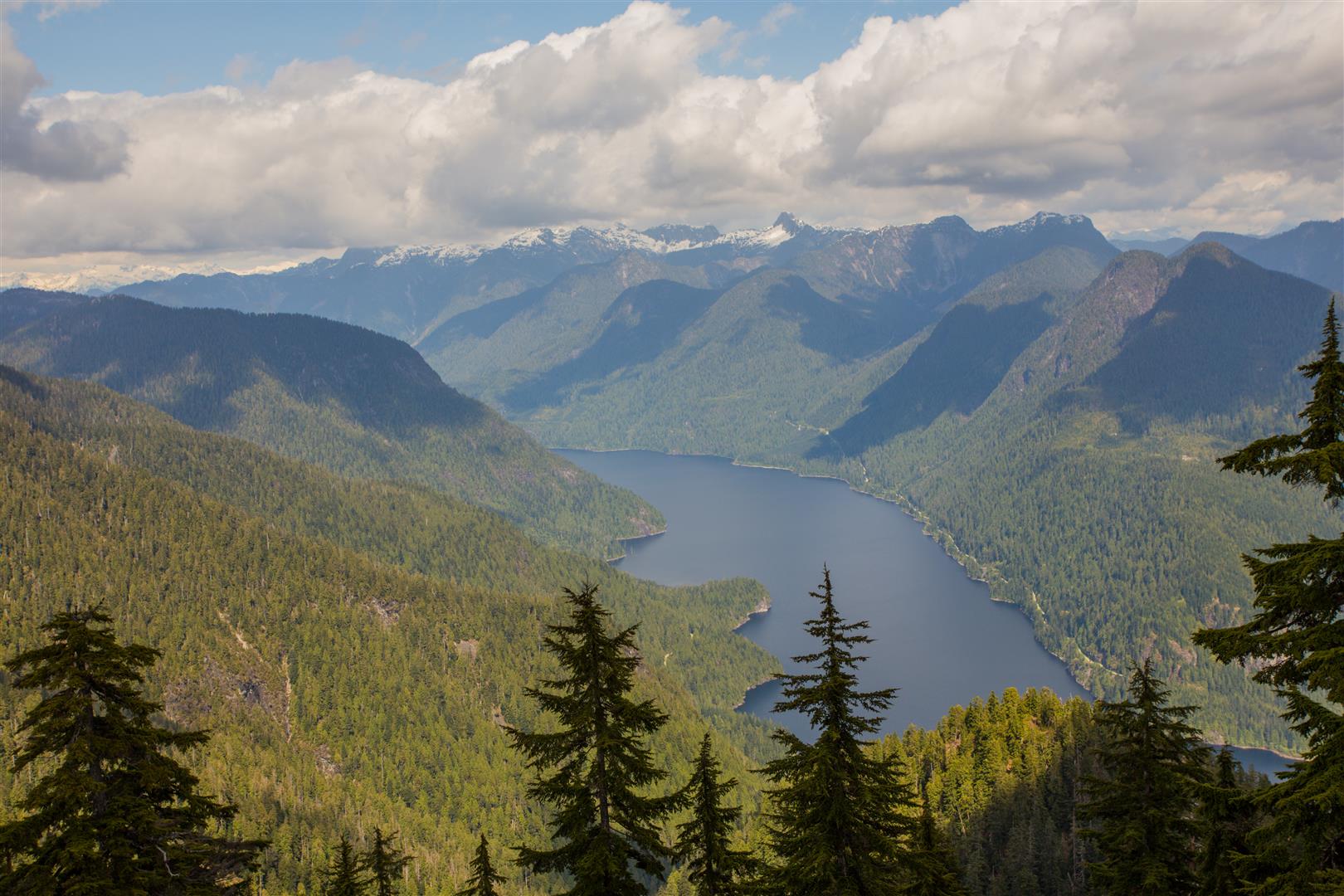
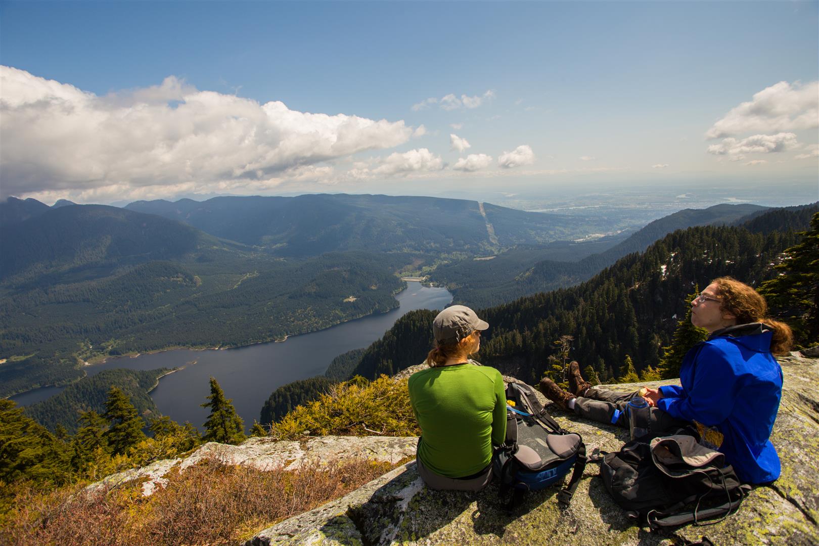
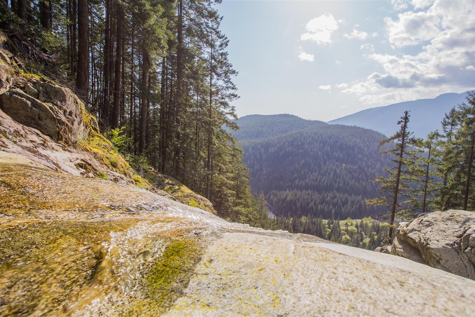
Here is a view looking west from Swan Falls…

Looking down from Swan Falls

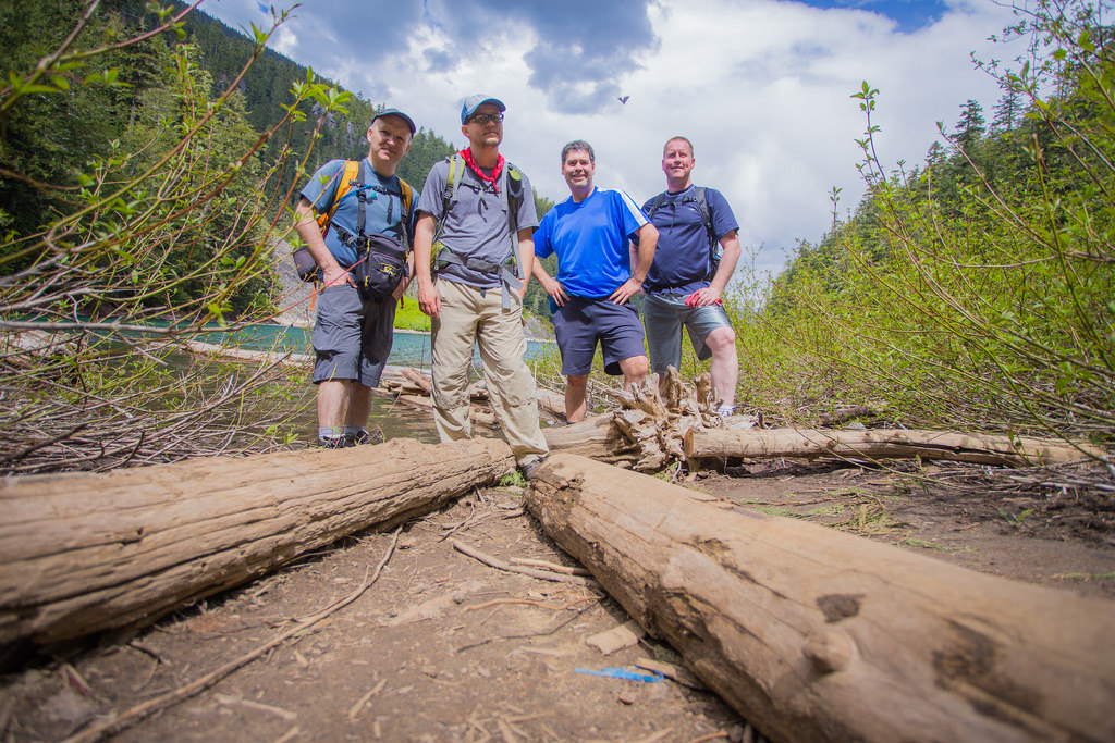
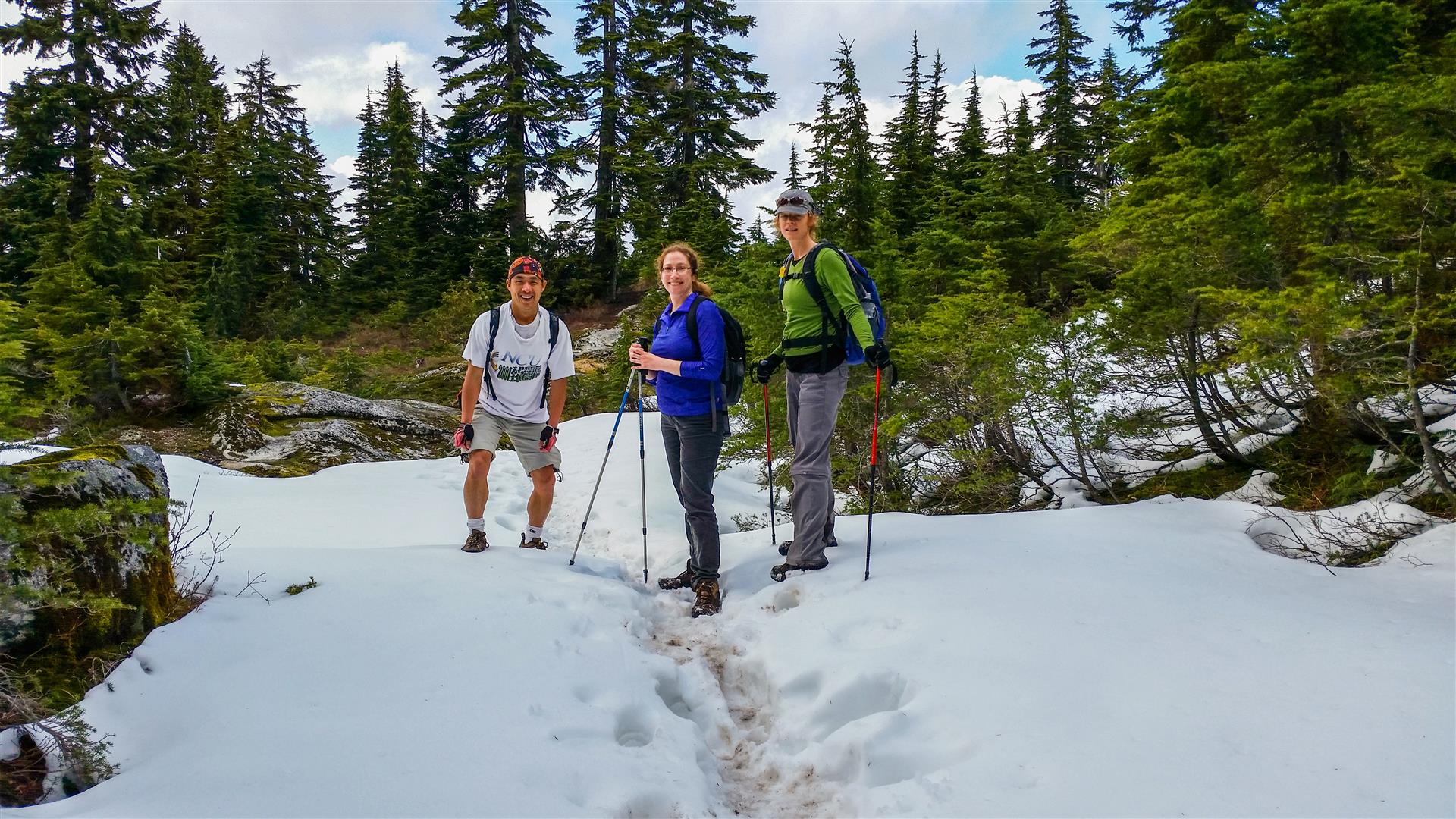
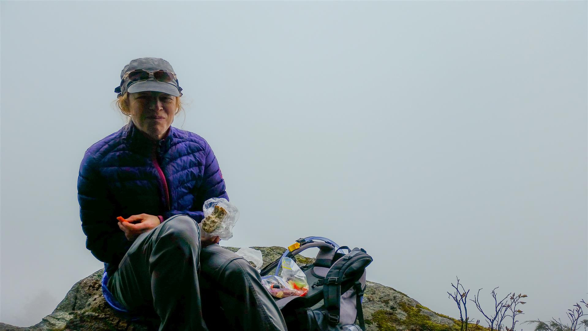
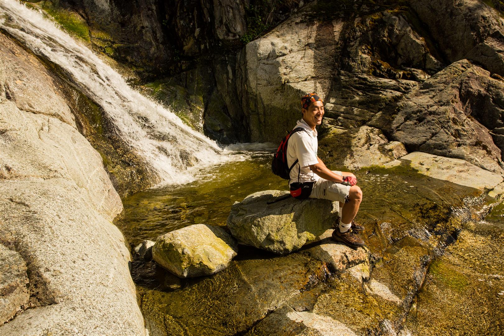
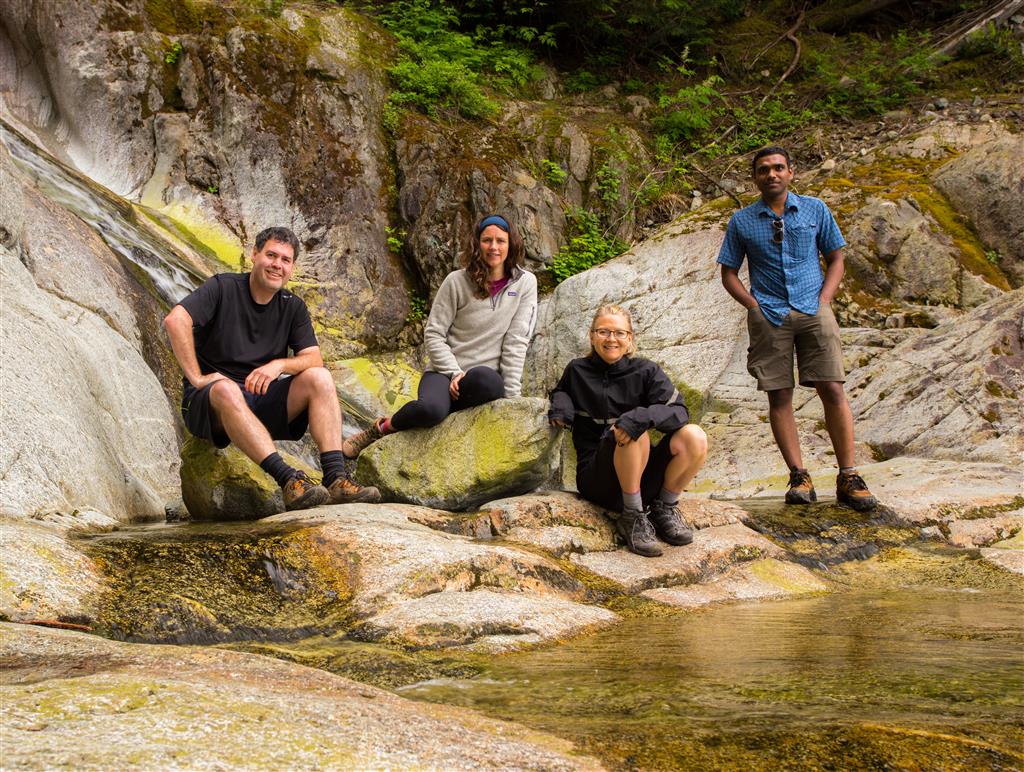
Here’s a group photo from the lower falls area…

Group photo at Swan Falls

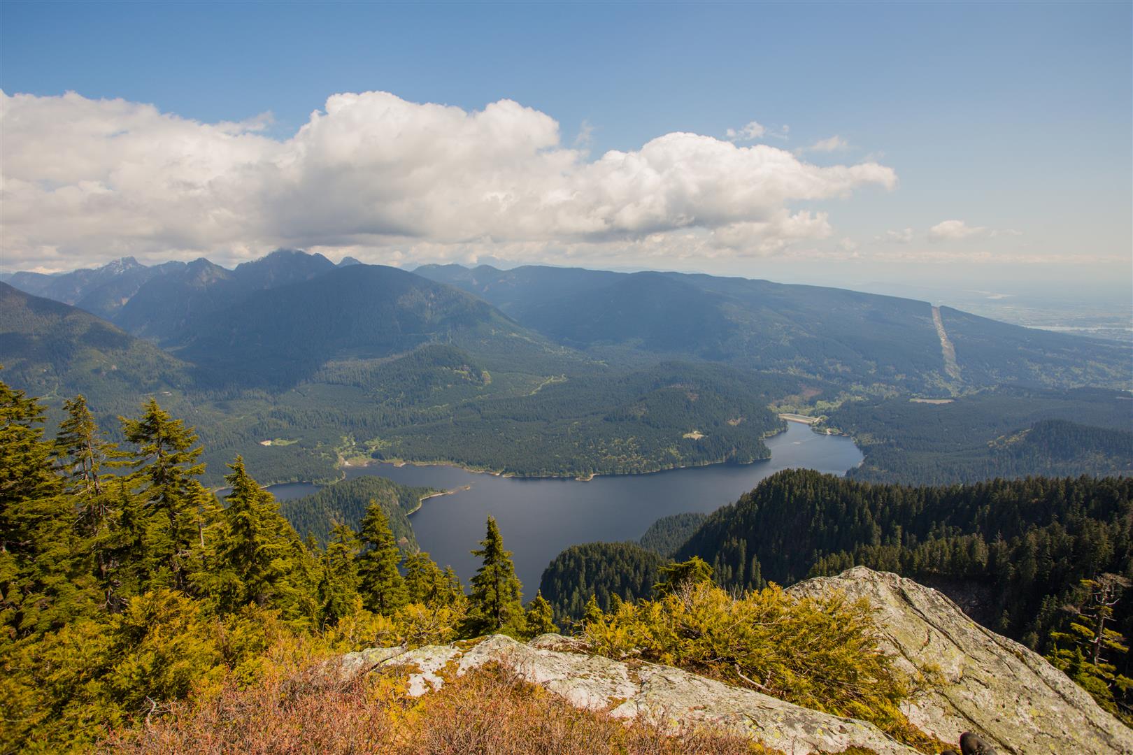
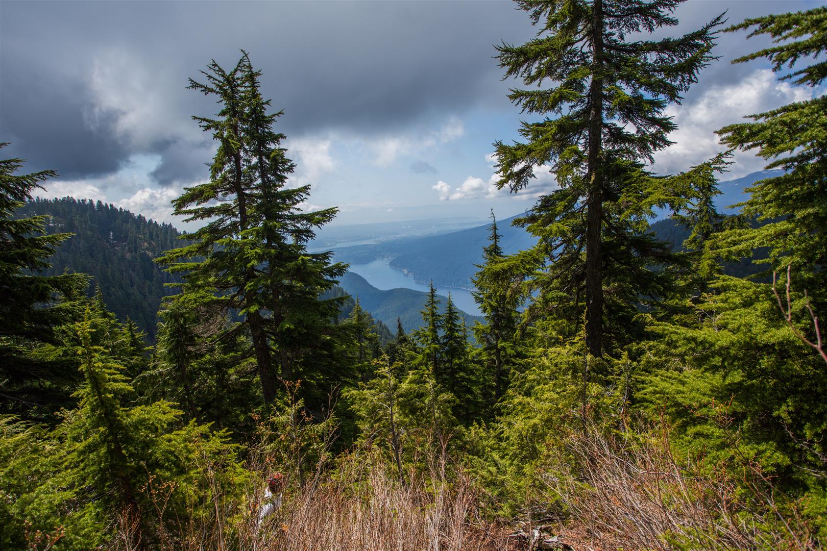
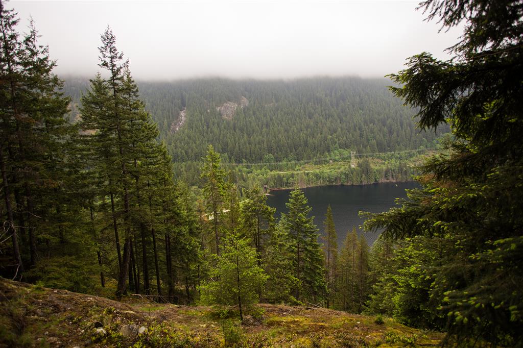
On the Lakeview Trail, there is a nice viewpoint near the end. You can see the low cloud cover in this shot…

Lakeview Trail viewpoint

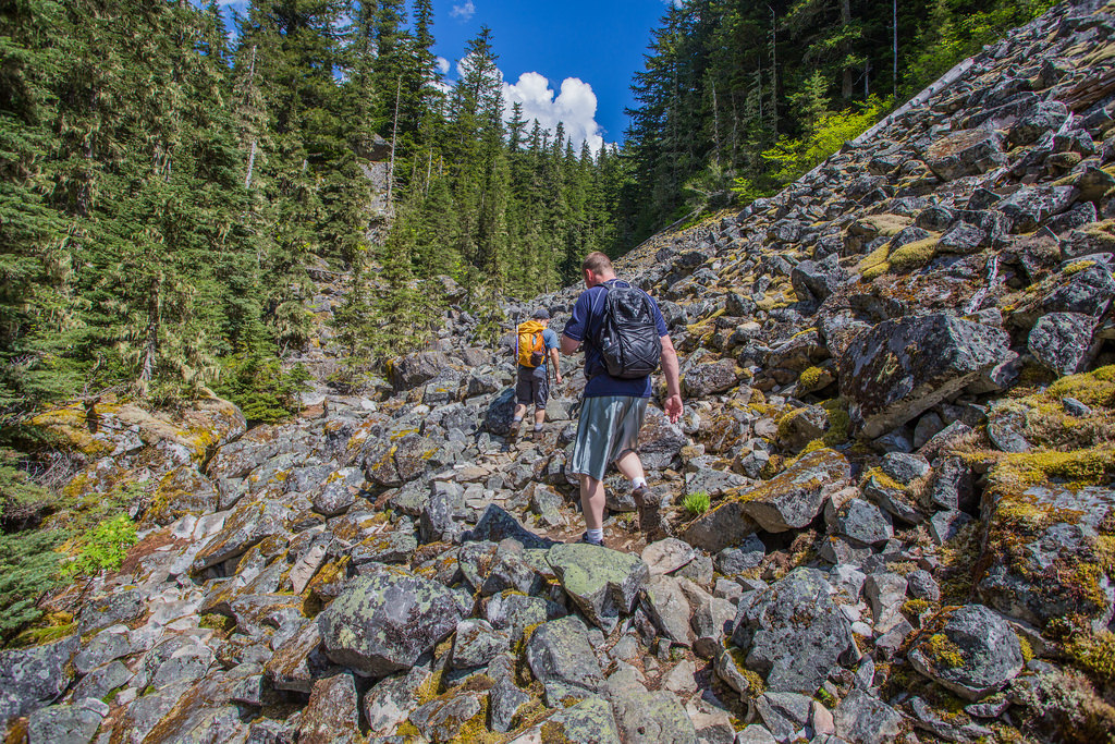
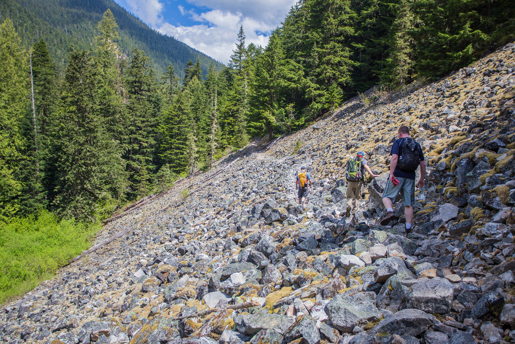
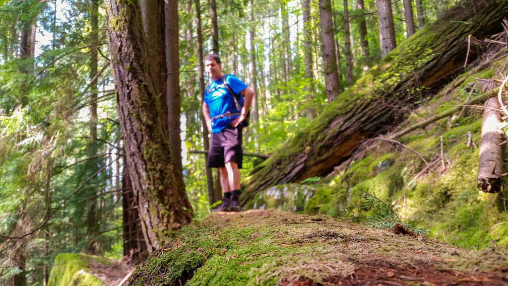
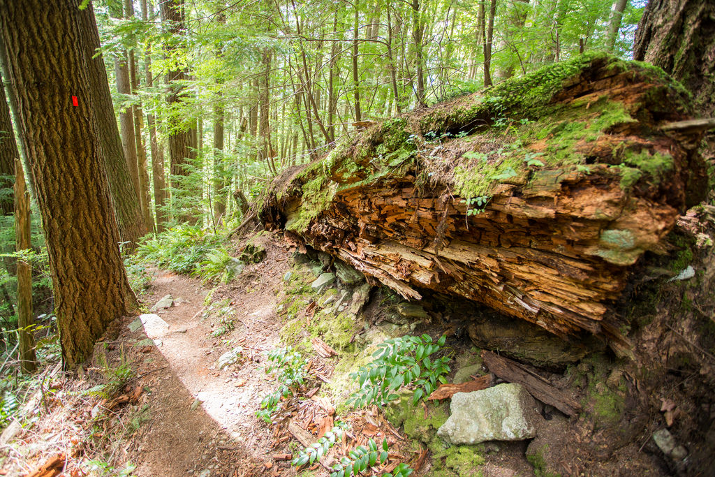
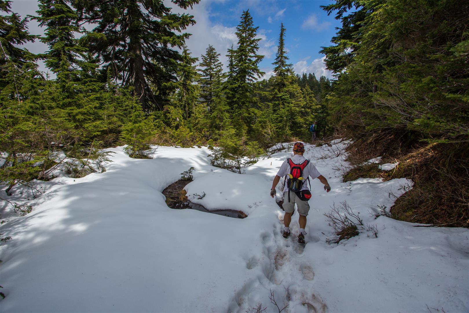
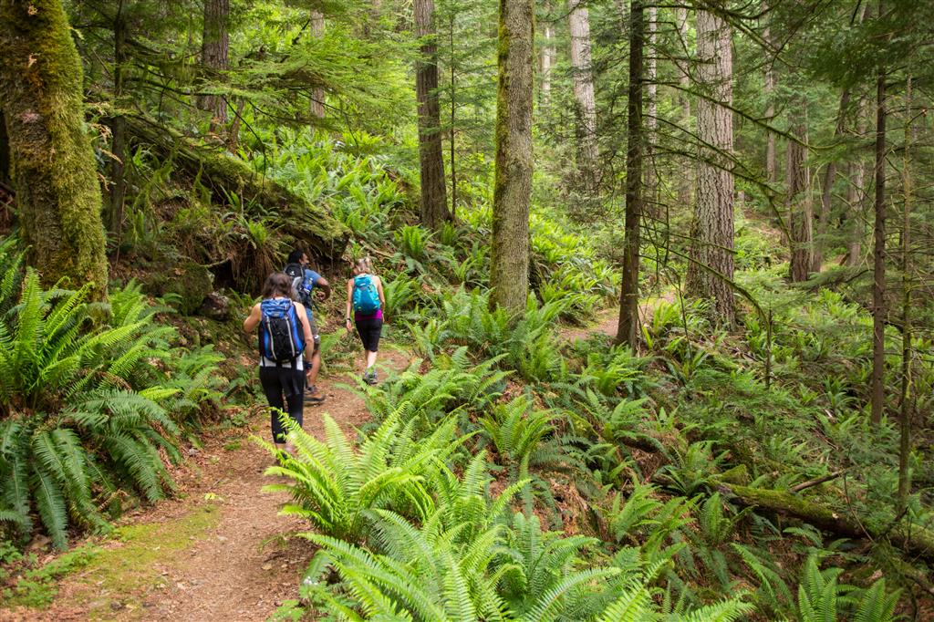
Here is a of trail pic on the Lakeview Trail…

Lakeview Trail at Buntzen lake

After the Lakeview Trail, we headed north on the Old Buntzen Lake Trail, which took us past McCombe Lake and past this intake station…

Intake house on McCombe Lake

Further on down, we past this huge aquiduct, which takes water to a power station on Indian Arm…

Buntzen Lake Aquiduct

We saw some nice flowers today, like the Western Columbine…

Western Columbine

And this one…

Pink flowers

★★★★★★★★★★★

Before heading out on your hike, make sure you are well prepared. This means, having the TEN ESSENTIALS. It is also important to leave a trip plan (route details and estimated return time) with someone you trust.

Bring your smartphone, fully charged and put it in airplane mode while hiking. I always bring back-up battery packs for extra piece of mind. It is highly recommended that you bring a GPS device; I use my smartphone with a GPS app (Backcountry Navigator). The GPS will work in airplane mode. Learn how to use it before your hike.

For anyone new to hiking, there is a rule to which hikers follow; it is called “Leave No Trace” or LNT. The concept is generally to pack out what you pack in and respect nature, so all future visitors can enjoy what you have enjoyed.
To learn more about LNT, please check out this BLOG by a certified LNT Trainer.

★★★★★★★★★★★

Lindeman & Greendrop Lakes


It turned out to be a great day for a hike in Chilliwack Lake Provincial Park. This was my first hike in boulder fields and there are many here. It makes for very interesting traversing and scenery.  The lakes were beautiful under the morning sun, especially Lindeman Lake, with its green colour. Don’t be fooled by the short distance and small elevation gain, which is similar to the Buntzen Lake loop. This hike took our group of 4, just under 6 hours. We had short stops, but traversing the boulder fields slows you down. The drive out to the trailhead is a long drive from Coquitlam (120 km and 1.5 hours). We had a slight sprinkle of rain at Greendrop Lake and we heard some thunder in the distance, but overall, it was a great success. You should be confident in jumping rock to rock on the boulder fields and over one small stream.

The stats:

Distance: 11.2 km (return)
Low point: 624 m
High point: 964 m
Elevation gain: 340 m
Total Elevation gain: 606 m
Trailhead: 49° 05’ 56.2” by  121° 27’ 30.3” (Google Map)

The route:

Here is Lindeman Lake…

Lindeman Lake
Lindeman Lake

Here are some of the boulder fields…

Boulder Field
Boulder Field
Boulder Field traverse
Boulder Field
Boulder Field

The Trillium Flowers were in bloom…

Pink Trillium

Here is Greendrop Lake…

Greendrop Lake
Greendrop Lake

Group photos are at Greendrop Lake followed by one in a boulder field…

Group photo at Greendrop Lake
Group photo in Boulder Field

Walking across a tree bridge…

Tree Bridge

I’ll end my photos with a view of dead tree…

Dead tree

★★★★★★★★★★★

Before heading out on your hike, make sure you are well prepared. This means, having the TEN ESSENTIALS. It is also important to leave a trip plan (route details and estimated return time) with someone you trust.

Bring your smartphone, fully charged and put it in airplane mode while hiking. I always bring back-up battery packs for extra piece of mind. It is highly recommended that you bring a GPS device; I use my smartphone with a GPS app (Backcountry Navigator). The GPS will work in airplane mode. Learn how to use it before your hike.

For anyone new to hiking, there is a rule to which hikers follow; it is called “Leave No Trace” or LNT. The concept is generally to pack out what you pack in and respect nature, so all future visitors can enjoy what you have enjoyed.
To learn more about LNT, please check out this BLOG by a certified LNT Trainer.

★★★★★★★★★★★

Hiking to lose Weight


Hiking is an amazing way to get fit and stay fit. If you are over-weight and want to shed some pounds, try my tips. They worked for me. I was 240 pounds and I came down to 170.

Here are my before and after photos…

before and after

I started walking 5 km on flat trails about 3 times a week. I would time myself and try to better my times.

Here are some useful exercise tips I’ve learned…

  • Start Easy – Don’t run. Don’t hike up steep hills
    (Too fast too early will increase the chance of injury and motivation loss)
  • Gradually work your way up to more and more challenging walks/hikes
  • The Energy Trail at Buntzen Lake is a great place .
  • Log your workouts (time, distance and date)
    (I use Endomondo to track my workouts)
  • If you wish, find a partner to help push and motivate you
  • It’s more difficult to lose weight than to eat junk food
  • Lift weights
  • Weigh yourself only once/week and do it in the morning

Here are some useful dieting tips…

  • Drink lots of water
  • Lower the sugar in your diet (see below)
  • ‘Low Fat’ advertising is tricky. Low fat foods often have high sugar
  • Have small meals, with healthy snacks in between, such as trailmix or WASA Light Rye Crispbread, with peanut butter (non-hydrogenated)
  • Nuts are a good snack and they help to make you feel full
  • Too much alcohol is bad. Don’t waste your liver’s time breaking down alcohol, when it could be breaking down sugars. Plus alcohol contains empty calories.
  • Avoid buffets
  • Don’t eat out too much
  • Low fat milk makes you feel less full; consider using 2% or homo unless you have a cholesterol problem
  • Good sugar substitutes are: Stevia; Erythritol; Xylitol
  • Close your kitchen down 2 hours prior to bedtime
  • Have one treat a week (but not a 2 lb sundae !)
  • Use spices, mustard or hot sauce for flavour
  • Substitute Hummus for Mayo
  • Always eat breakfast
  • Have lots of fibre
  • Don’t eat the skin from chicken
  • Have a consultation with a dietitian

Some high sugar foods to avoid or cut back:

  • Soda
  • Fruit juices
  • Frappuccino (Venti Mocha from Starbucks = 76 grams of sugar)
  • Candy
  • Syrup
  • Dried fruit, canned fruit
  • Cookies, cakes, pies and donuts
  • Jams, preserves & spreads
  • Many cereals (try below 6 gr/serving);
    Cheerios, bran flakes and oatmeal are good
  • Sauces, like ketchup and BBQ
  • Ice cream

These tips are all great, but what makes it so hard to stick to a diet plan and lose weight ? Motivation, confidence and mood are key factors.

Things that can motivate you to lose weight and get in shape:

  • Health reasons
  • More energy
  • Enhance your appearance
  • Increase your confidence
  • Save money

Many health plans fail due to lack in confidence.
Confidence will naturally increase once you start exercising, but try this tip that was useful for me:

Challenge yourself – for me it was cutting back on Starbucks Mocha Frappuccinos (Tall is 40 grams of sugar). I challenged myself to not have them for a month. After a month, it turned into 3 months. Once you realize you can beat the demons that lead you to food, your confidence will naturally increase.

The challenge doesn’t have to be a food challenge either – you can challenge yourself to cut back on watching TV or the challenge can be walking 1, 2 or 3 km… every day.

Buntzen Lake and Swan Falls


This hike really adds flare to the Buntzen Lake loop. After traversing to the north beach, just take the service road northwards for 500 m and then the Swan Falls trailhead is on your right. The Swan Falls trail goes to the top of Mount Beautiful, but for this hike, we’re just going to the actual Swan Falls.  The Swan Falls trail is far beyond the difficulty of the Buntzen Lake trail. You should be confident in traversing steep slopes and using rope for climb-assisting in one place.

The vertical elevation gain on this portion of the Swan Falls trail is only 200 m, but it is tough trekking.

Here are the route stats:

Distance: 11.8 km (return)
Low point: 127 m
High point: 340 m
Elevation gain: 213 m
Total Elevation gain: 700 m
Trailhead (for Swan Falls): 49° 22’ 7.8” by  122° 51’ 29” (Google Map)

Here is the route:

This is the sign at the trailhead at base of swan falls…

Swan Falls Trailhead sign

There are two good spots to rest at the falls. Here is a photo of the upper falls…

Upper Swan Falls

Here’s a view looking west from the upper falls…

Upper Swan Falls 2

The lower falls, which are only small distance from the upper falls, are a great place to bask in the sun and have a snack…

Relaxing at swan falls 2

Relaxing at swan falls

Here’s a view looking down from the lower falls…

View from Swan Falls

Here are some trail photos on this section of the Swan Falls Trail…

16961787513_ea9203912e_b

Hollow Tree

Trail (2)

Trail

Here are the ropes to help climb a steep section…

Rope Climbing

Swan Falls Loop


This is one of the difficult hikes at Buntzen Lake. You should consider the ‘Diez Vistas’ hike easy before attempting this one.  We started at 8:30 am and ascended the Halvor Lunden trail from the Buntzen Lake Parking lot. The temperature was 9 degrees when our group of 4 started. We made to Polytrichum Lookout in about 1 hour, to the lake’s district 1 hour after than and then Lindsay Lake just before the 3 hour mark. We took a short detour to see The Pulpit Viewpoint and to have snack. Unfortunately, all we saw was white cloud ! So, after our cold break (5 degrees here !), we continued back to the Lindsay Lake Junction and up to Mt. Beautiful. We saw some snow today, the most being around Tangled Summit. We made it to Mt. Beautiful (1260 m) at 1:30 PM and had a relaxing 30 minute break in the sun !! Yes, thankfully the sun came out for us and we had amazing views of Coquitlam Lake and the mountains to the north and east. After our break at Mt. Beautiful, we continued on and we reached the Swan Falls/Dilly Dally Junction a short time later. We headed west, down the Swan Falls trail. After an hour of slow downhill trekking we reached the actual Swan Falls at 350 m elevation and we had another 30 minute break in the sun.

Here are the stats:

Distance: 16.7 km (loop)
Low point: 129 m
High point: 1260 m
Elevation gain: 1,131 m
Total Elevation gain: 1515 m
Trailhead: 49° 20’ 14” by  122° 51’ 23” (Google Map)

Here is the route…

Here is today’s route from Google Earth…

Swan Falls

Here are the two payoff views of Coquitlam Lake we had today…

IMG_6018

IMG_6023

There was snow in sections…

20150502_124337

IMG_5954

IMG_5968

After the Lindsay Lake Junction, we did a quick detour to “The Pulpit” viewpoint, but when we got there, it was all white…

20150502_114310

There is an ok view of Indian Arm on the approach to Mt. Beautiful…

IMG_5975

At the top, on Mt. Beautiful, we had time to relax and to play around…

Jumping

Resting at Mt. Beautiful

Here are 3 more trail pictures…

20150502_143208

20150502_145851

IMG_5966

On the way down we had a nice rest stop at Swan Falls…

Relaxing at Swan Falls

Section of Swan Falls

Sitting by the Falls

Sitting on Rock in Swan Falls

★★★★★★★★★★★

Before heading out on your hike, make sure you are well prepared. This means, having the TEN ESSENTIALS. It is also important to leave a trip plan (route details and estimated return time) with someone you trust.

Bring your smartphone, fully charged and put it in airplane mode while hiking. I always bring back-up battery packs for extra piece of mind. It is highly recommended that you bring a GPS device; I use my smartphone with a GPS app (Backcountry Navigator). The GPS will work in airplane mode. Learn how to use it before your hike.

For anyone new to hiking, there is a rule to which hikers follow; it is called “Leave No Trace” or LNT. The concept is generally to pack out what you pack in and respect nature, so all future visitors can enjoy what you have enjoyed.
To learn more about LNT, please check out this BLOG by a certified LNT Trainer.

★★★★★★★★★★★