Category Archives: Buntzen Lake Blog

Ducklings in Buntzen Lake

One of the nicest wildlife encounters at Buntzen Lake is coming across a mother duck with a group of ducklings following close behind.

On a hot day in late July 2014, I saw two very small ducklings with their mother near the old floating bridge area at the south end of Buntzen Lake. At the time, I thought late July seemed unusually late in the season for such young ducklings.
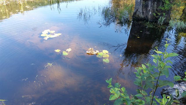

Ducklings with their mother at Buntzen Lake

Two young ducklings with their mother near the south end of Buntzen Lake in July 2014.

Late-Season Ducklings

Seeing very young ducklings in late July is not necessarily unusual. Mallards can nest more than once if an earlier nesting attempt is unsuccessful, so later broods can appear well into the summer.

A Mallard hen typically lays roughly 8 to 12 eggs and incubates them for about 28 days. Once the ducklings hatch, things move quickly. Within about a day, the mother leads them away from the nest and toward suitable water and feeding habitat.

Ducklings are surprisingly independent from the beginning. They are able to swim and find much of their own food almost immediately, although they still depend on their mother for protection, warmth, and guidance.

Mallards at Buntzen Lake

The duck family in the photographs below are Mallards (Anas platyrhynchos), one of the most familiar ducks in British Columbia.

Mallards are dabbling ducks. Rather than diving deeply for food, they usually feed in shallow water by dipping their heads below the surface and tipping their bodies upward. Their diet includes aquatic plants, seeds, insects, insect larvae, snails, and other small aquatic organisms.
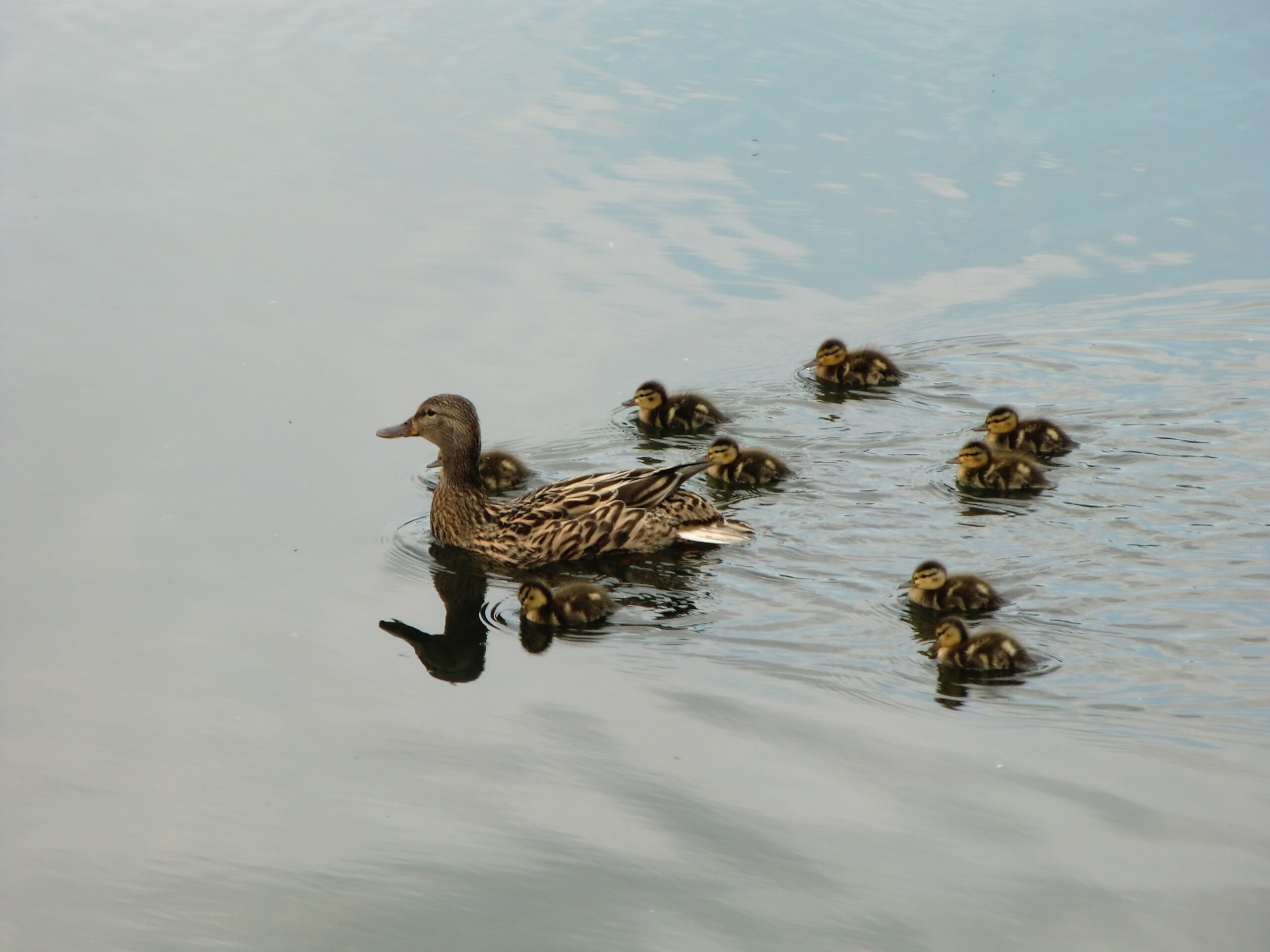

Mallard hen swimming with ducklings at Buntzen Lake

A Mallard hen leading a large brood of ducklings.

Growing Quickly

Ducklings change remarkably quickly. The smallest chicks are covered almost entirely in soft down, but juvenile feathers soon begin to appear as they grow.

Mallard ducklings generally remain with their mother until they are able to fly at about eight weeks of age. By that stage, they can look almost like small versions of the adult female.
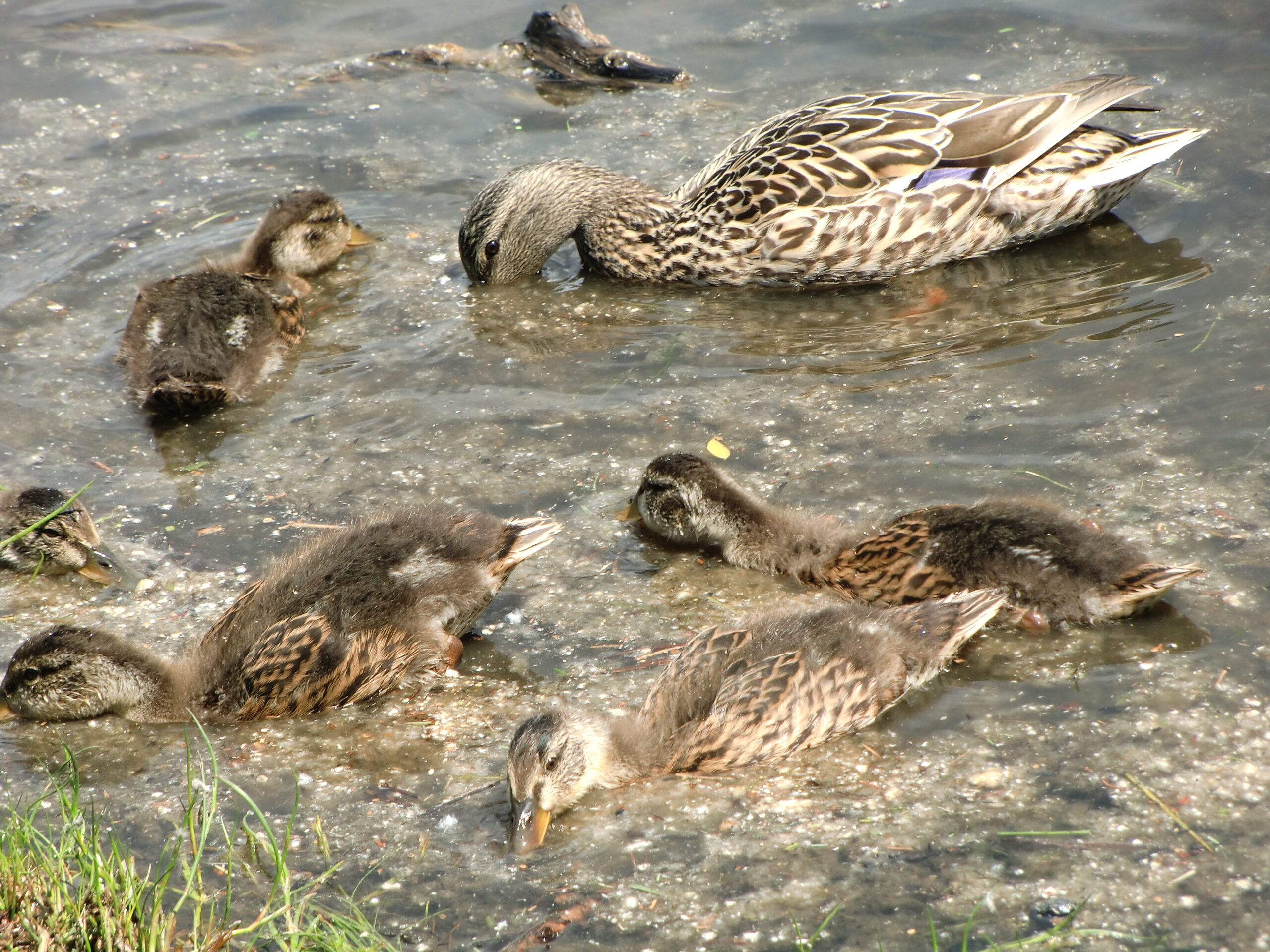

Mallard hen with older ducklings feeding at Buntzen Lake

Older Mallard ducklings feeding beside their mother.

Why Do Ducklings Follow Their Mother?

Shortly after hatching, ducklings learn to recognize and follow their mother. This process is known as imprinting.

Following the hen helps the young stay together, locate good feeding areas, and respond quickly when she detects danger. If you watch a brood for a while, you will often see the ducklings form a loose line behind their mother as they move across the water.

What Do Ducklings Eat?

Young Mallards feed naturally on a wide variety of small aquatic animals and plants. Insects and other invertebrates are particularly valuable while the birds are growing.

Although feeding ducks can be tempting, it is best to let them find their own food. Bread and many other foods people commonly give ducks are not nutritionally appropriate, and regular feeding can make wild ducks dependent on people or encourage large numbers of birds to gather in one location.

Keeping Your Distance

A mother duck may appear calm around people, but it is still best to give her and the ducklings plenty of space. If the family changes direction, moves away, or becomes noticeably alert when you approach, you are probably too close.

Dogs should also be kept under control around waterfowl. The regular trails around Buntzen Lake require dogs to be leashed, except within the designated dog off-leash areas.

Watching Wildlife at Buntzen Lake

The shoreline and quieter areas around Buntzen Lake provide habitat for many birds and other wildlife. Mallards are among the easiest to see, particularly when a brood of ducklings is moving along the shoreline.

They are a good reminder that even at one of Metro Vancouver’s busiest recreation areas, there is still plenty of wildlife living and raising young around the lake.
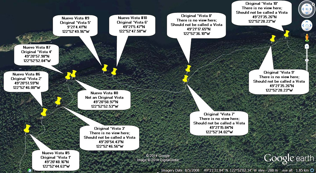
Diez Vistas: Finding Ten Great Views

The name Diez Vistas means “ten views”, but anyone who has hiked the trail knows that finding ten clear viewpoints is not quite as simple as the name suggests.

Some of the original vistas have gradually become obscured by tree growth, while other excellent viewpoints were never part of the original numbered vistas at all. Trees grow, openings change, and a viewpoint that was wide open years ago may eventually become only a glimpse through the forest.

I originally created this page in 2014 as my attempt to solve that problem. I called my version “Nuevo Diez Vistas” and put together an alternate set of ten viewpoints that, at the time, provided ten genuinely worthwhile views along the route.

The exact views have continued to change over the years, but the basic idea still works: there are more good viewpoints on and around Diez Vistas than the original numbered vistas alone would suggest.

Looking for the complete hike guide? See my Diez Vistas Trail guide for the full route description, trail statistics, GPS map, and hiking information.

A note about the viewpoints
This is my own unofficial viewpoint system, not BC Hydro’s official numbering. Tree growth, fallen trees, vegetation, and trail conditions can change the quality and visibility of individual viewpoints over time.

What Happened to the Ten Views?

When I first put this page together, I regularly heard the same comment from hikers: “Diez Vistas was a great hike, but I only found three or four of the vistas.”

Part of the problem is simply that several of the original viewpoints have become increasingly obstructed by trees. Apparently, the trees did not get the memo that they were supposed to preserve the views.

At the same time, there are several excellent viewpoints near the south end of Buntzen Ridge that were never included among the original numbered vistas.

These include the first open viewpoint reached during the climb, several viewpoints around the East Point area, and another good opening farther along the ridge.

The East Point Area

One of the easiest ways to miss some good scenery is to stay strictly on the main Diez Vistas route near the south end of the ridge.

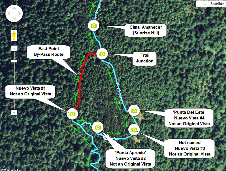
The East Point area contains several additional viewpoints, including Punta Aprecio and Punta del Este, along with views toward Buntzen Lake, South Beach, Eagle Ridge, Burrard Inlet, and Indian Arm.

When I originally mapped the area, signage at the junction was poor and many hikers simply continued along the main trail without realizing that these additional viewpoints were nearby.

That was one of the reasons I thought an alternate set of ten viewpoints made more sense than trying to rely exclusively on the original vista numbering.

My Alternate Ten-View Idea

Rather than trying to force hikers to locate every original vista, my approach was to count the viewpoints that actually provided worthwhile views.

When I originally mapped the route, several of the original vistas still provided useful views, while other excellent openings were not part of the original numbered system. Together, these gave me a practical set of ten views that better matched the name of the trail.

I still liked the existing Spanish place names, such as Punta Aprecio and Punta del Este. My idea was simply to add clearer viewpoint numbering and better signage showing the East Point route and bypass.

I called the concept “Nuevo Diez Vistas” at the time. I still like the name, but today I think of it more simply as an alternate way of finding ten good views on Diez Vistas.

Diez Vistas GPS Route

The interactive map below shows one of my actual GPS recordings of the Diez Vistas hike. Use the layer control in the upper-right corner to switch between the regular map and satellite imagery.

My 2014 Viewpoint Maps

When I originally created this post in 2014, I made the following two maps showing my proposed viewpoint arrangement. These are not official BC Hydro maps, and the quality of individual views may have changed considerably since then.

Click either image for a larger version.

Unofficial East Point viewpoints on the Diez Vistas Trail

My 2014 map of the East Point area and its additional viewpoints.

Unofficial alternate viewpoint numbering for the Diez Vistas Trail

My proposed alternate Diez Vistas viewpoint numbering from 2014.

So, Are There Really Ten Views?

Yes, but I would not think of Diez Vistas as ten permanently fixed windows through the forest.

The number of genuinely open viewpoints changes over time. Some of the original views have become obscured, while other openings provide views that were never part of the original numbering. Fallen trees can create new views, while growing vegetation gradually closes others.

If your goal is simply to locate ten numbered signs or ten original openings, you may be disappointed. If your goal is to hike Buntzen Ridge and look for the best views available along the way, there is still plenty to see.

Clockwise Is Still My Preferred Direction

I prefer hiking Diez Vistas clockwise, tackling the steep southern climb and switchbacks first while I have the most energy. It also means reaching the southern viewpoints relatively early in the hike rather than saving them until near the end.

For the complete route description, trail statistics, and current hiking information, see my Diez Vistas Trail guide.

If you are driving to Buntzen Lake during the seasonal reservation period, also check the current Buntzen Lake parking information before leaving home.

For current trail closures and official access information, check the BC Hydro Buntzen Lake trails page.

The GPS route and viewpoint information on this page reflect conditions when I completed these hikes. Trails, vegetation, viewpoints, closures, and access can change over time. Follow current onsite signage and check current conditions before heading out.

Blow downs

Fallen Trees and Blowdowns at Buntzen Lake

Fallen trees are a normal part of hiking in the forests around Buntzen Lake. After strong windstorms, particularly during the wetter fall and winter months, trees can come down across trails, roads, and other areas.

The forestry term for trees uprooted or broken by wind is windthrow, although hikers usually just call them blowdowns.

On the heavily travelled Buntzen Lake Trail, fallen trees that block the route are generally dealt with relatively quickly in my experience. On the higher and less-travelled trails, such as Diez Vistas, Swan Falls, and trails on Eagle Ridge, blowdowns can remain for considerably longer.

Use extra caution after windstorms
Strong winds can bring down entire trees as well as large branches. Partially uprooted trees and branches caught in neighbouring trees can remain unstable after the storm has passed. If conditions appear unsafe or a fallen tree cannot be crossed safely, turn around rather than forcing your way through.

Why Do Trees Blow Down?

Windthrow depends on more than just wind speed. Tree height, exposure, root condition, soil depth, drainage, and the amount of water in the soil all affect how firmly a tree is anchored.

Prolonged rain can make trees more susceptible because saturated soil provides less support for the root system. Combine wet ground with a strong Pacific windstorm and the risk of trees being uprooted can increase substantially.

Ridges and other exposed terrain can also experience stronger winds than more sheltered parts of the forest.

Blowdowns on the Higher Trails

Fallen trees are often more noticeable on the higher and less frequently travelled trails, where maintenance naturally takes longer and storm damage can be more extensive.

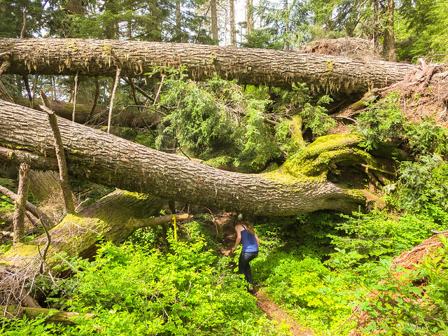
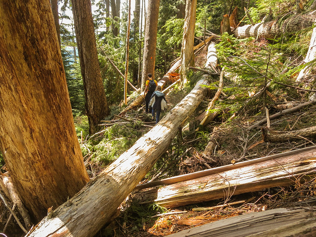
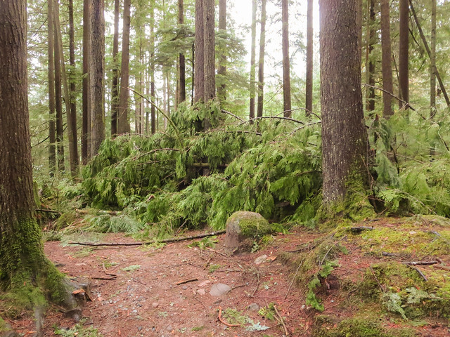
Below are several large blowdowns I encountered on Eagle Mountain, just east of the White Rock Viewpoint.


Fallen trees on Eagle Mountain near Buntzen Lake

Large blowdowns on Eagle Mountain near the White Rock Viewpoint.

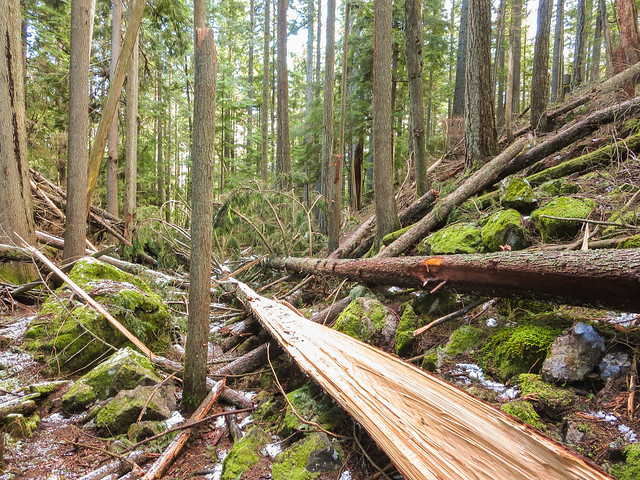
I also encountered these fallen trees on the Swan Falls Trail.


Fallen trees on the Swan Falls Trail

Blowdowns on the Swan Falls Trail.

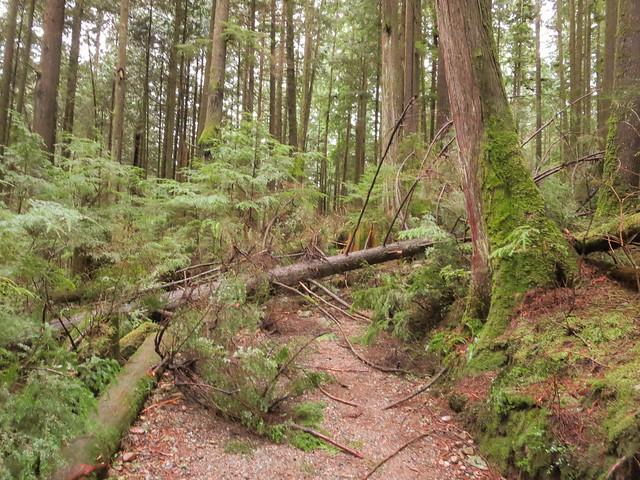
And below is another example from the Diez Vistas Trail.


Trees down across the Diez Vistas Trail

Fallen trees across the Diez Vistas Trail.

Blowdowns on the Main Buntzen Lake Trail

Blowdowns also occur on the main Buntzen Lake Trail, although the trail receives much heavier use and obstructions are generally addressed sooner.

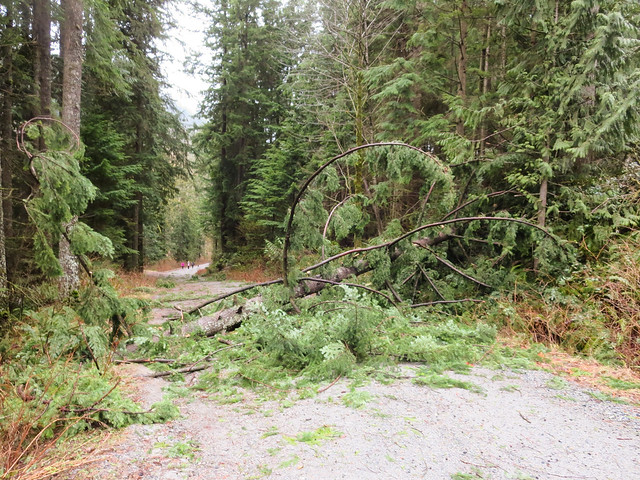
February 2014 was a particularly noticeable period for storm damage. During one storm around 15 February, several large trees came down around the Buntzen Lake Trail.


Large fallen tree across the Buntzen Lake Trail in February 2014

A large tree down across the Buntzen Lake Trail in February 2014.


Storm-damaged tree on the Buntzen Lake Trail

Another tree brought down during the same period of stormy weather.

Fallen Trees Near North Beach

Storm damage is not limited to narrow hiking trails. This tree came down on Powerhouse Road near North Beach.


Fallen tree on Powerhouse Road near North Beach at Buntzen Lake

A fallen tree on Powerhouse Road near North Beach.

Hazard-Tree Assessments

Trail maintenance is not limited to removing trees after they fall. Trees that are dead, damaged, leaning toward heavily used areas, or otherwise considered potentially hazardous may also be assessed and removed before they fail.

In 2014, I noticed a number of trees around Buntzen Lake that had been marked during a tree-assessment program. Some were subsequently removed.


Hazard trees being removed near the former floating bridge area at Buntzen Lake

Tree removal near the former floating bridge area in 2014.

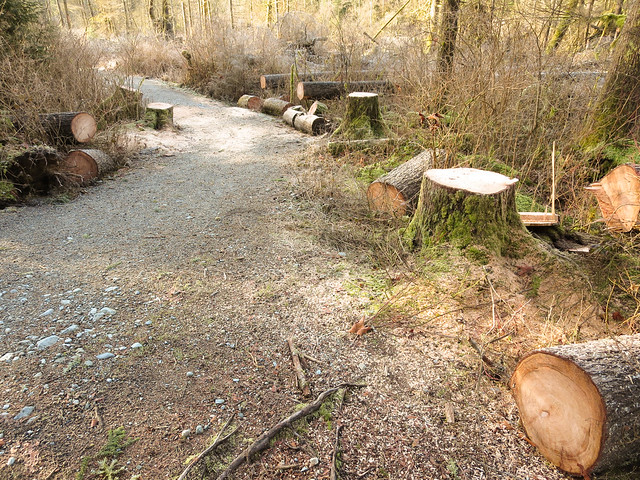
Tree work accelerated during May 2014, and the results were very noticeable in several areas around the lake.

Tree removal work near Buntzen Lake

Tree removal work around Buntzen Lake in 2014.


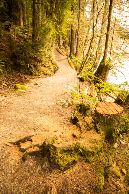
Cut tree beside a Buntzen Lake trail

A tree removed beside one of the Buntzen Lake trails.

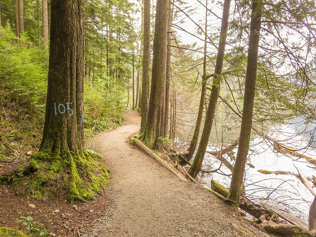
Before and After: Tree 105

One of the more interesting examples was a large tree on the west side of Buntzen Lake that had been marked for assessment.

The photograph below shows the tree before it was removed.


Tree number 105 before removal near Buntzen Lake

Tree 105 before removal.

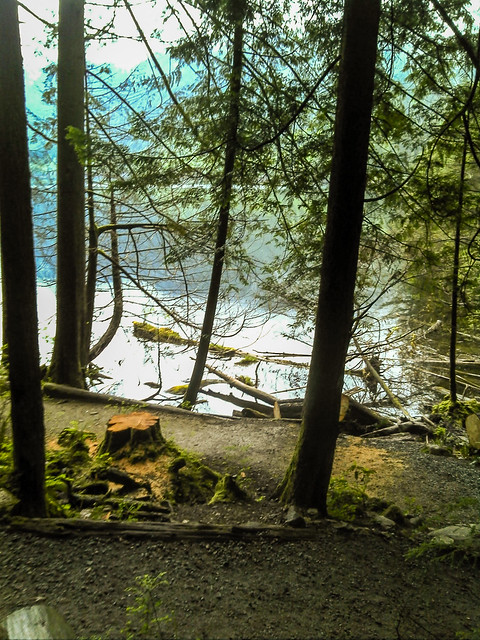
About a month later, the tree had been taken down.


Large assessed tree after removal near Buntzen Lake

The same area after the large tree was removed.

What to Do if You Encounter a Blowdown

A fallen tree across a trail may be a simple inconvenience, but storm-damaged trees can also create less obvious hazards.

  • Be especially cautious during and immediately after periods of strong wind.
  • Look above as well as ahead for broken branches or partially fallen trees caught in neighbouring trees.
  • Avoid standing beside unstable root plates or underneath leaning trees.
  • Do not attempt to move, cut, or climb over a large tree if doing so puts you at risk.
  • If the obstruction cannot be crossed safely, turn around.
  • On remote or less-travelled trails, be prepared for more than one obstruction following a major storm.

Strong winds combined with rain can be particularly problematic because saturated soil can reduce the anchoring strength of tree roots.

Check Conditions Before Heading Out

Most of the time, a few fallen trees are simply part of hiking in a coastal forest. After a significant windstorm, however, conditions can change quickly and higher or less-travelled routes may take longer to clear.

Before heading out, check the BC Hydro Buntzen Lake trail page for current closures and major safety alerts. BC Hydro notes that some trails in the recreation area cross property it does not maintain, where hikers may encounter rough terrain and other trail hazards.

The photographs on this page show conditions I encountered during earlier hikes, particularly in 2014. Fallen trees, trail maintenance, and route conditions change continually.

Rough Skinned Newt

Rough-skinned Newts at Buntzen Lake

One of the more unusual animals I have encountered around Buntzen Lake is the Rough-skinned Newt (Taricha granulosa).

I have walked the trails around Buntzen Lake hundreds of times and have only noticed these newts on about three occasions. They are remarkably easy to miss. Their brown colouring blends extremely well with wet leaves, gravel, and the trail surface, and when I have encountered them they have often remained almost completely still.

From my own observations, I have generally seen them on trails fairly close to water. That fits their semi-aquatic life cycle and preference for moist forest, wetlands, ponds, lakes, and slow-moving water.

A Rough-skinned Newt on Pumphouse Road

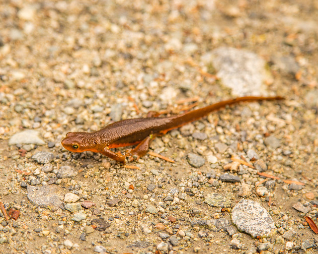
I photographed the newt below on Pumphouse Road, only a short distance from the bridge. I almost walked right past it because it blended into the road so well.

When I originally posted the photograph online, there was some discussion about whether it might be a Western Red-backed Salamander. Ivan Phillipsen, of Wild Pacific Northwest, identified it as a Rough-skinned Newt.


Rough-skinned Newt on Pumphouse Road at Buntzen Lake

Rough-skinned Newt (Taricha granulosa) on Pumphouse Road at Buntzen Lake.

Why Are They So Hard to Notice?

From above, a Rough-skinned Newt can be remarkably well camouflaged. Adults are usually brown, dark olive, or greyish-brown on top, with dry-looking, granular skin.

The striking part is underneath. Rough-skinned Newts have a bright yellow to orange belly, which acts as a warning to predators.

When threatened, a newt may arch its head and tail upward to expose the bright underside. This defensive posture is called an unken reflex.

The newt I photographed became extremely rigid and barely moved. At the time I wondered whether this was some type of defence mechanism, and that behaviour is consistent with the passive defensive response seen in Rough-skinned Newts.

Watch where you step
Rough-skinned Newts can be very difficult to see when they are motionless on a trail. If you encounter one, give it space and allow it to move on its own. They are particularly worth watching for on damp trails and near water.

They Are Toxic

The Rough-skinned Newt has one of the most unusual defence systems of any animal around Buntzen Lake.

Its skin contains tetrodotoxin, or TTX, a powerful neurotoxin that discourages most predators. The bright orange underside acts as warning colouration.

The toxin is dangerous if swallowed and should not be allowed to contact the eyes, mouth, open cuts, or other mucous membranes. The safest approach is simply not to handle the newt.

Dogs should also be kept away from them. A dog that bites or mouths a Rough-skinned Newt could potentially be exposed to the toxin.

Newts and Garter Snakes: An Evolutionary Arms Race

One of the most fascinating things about Rough-skinned Newts is their relationship with the Common Garter Snake (Thamnophis sirtalis).

Some populations of Common Garter Snakes have evolved resistance to tetrodotoxin, allowing them to prey on Rough-skinned Newts that would be highly toxic to most other predators.

In areas where snakes have greater resistance, natural selection favours newts with stronger chemical defences. In turn, stronger toxins favour snakes with even greater resistance.

This back-and-forth adaptation between predator and prey is a classic example of coevolution and is often described as an evolutionary arms race.

A Life Split Between Water and Forest

Rough-skinned Newts are semi-aquatic. They return to ponds, lakes, wetlands, and slow-moving streams during the spring breeding season.

Females lay individual eggs attached to aquatic vegetation. The eggs hatch after several weeks, producing aquatic larvae with external gills.

After metamorphosis, young newts move into the surrounding forest. Outside the breeding season, adults and juveniles can spend much of their time under logs, bark, leaf litter, and other moist cover.

Unlike many salamanders, Rough-skinned Newts sometimes move about openly during the day, especially during wet conditions. Their toxic skin gives them some protection from predators.

Rainy Weather Is a Good Time to Watch for Them

Amphibians generally become more active at the surface during wet weather, and Rough-skinned Newts are no exception.

If you are walking around Buntzen Lake during or shortly after rain, particularly on trails near the shoreline, wetlands, or creeks, it is worth keeping an eye on the ground.

I have only encountered a few despite spending a great deal of time around the lake, so seeing one still feels like a fairly special wildlife encounter.

How Long Do Rough-skinned Newts Live?

Rough-skinned Newts are longer-lived than their small size might suggest. They may live for around 12 years.

The newly metamorphosed juveniles spend several years growing in terrestrial habitat before returning to water as breeding adults.

Leave Them Where You Find Them

If you see a newt at Buntzen Lake, the best approach is to observe it without touching it.

If it is sitting on the trail, simply watch your step, give it some room, and make sure anyone walking with you sees it as well. Because they can remain motionless and blend so well with the trail surface, accidental trampling is probably a greater concern than deliberate disturbance.

For more information about amphibians found in British Columbia, see the Province of British Columbia amphibian information.

Old Signs Around Buntzen Lake

One of the little things I have always liked about Buntzen Lake is the collection of old wooden signs scattered around the recreation area and trails.

Many of the older signs were made from wood with simple painted or carved lettering, often in yellow. Some were located in busy areas near South Beach and the parking lots, while others were hidden away beside quieter trails where relatively few visitors would ever notice them.

Most of the photographs on this page were taken around 2014. Some of these signs may have since been replaced, moved, or removed, so I now think of this page as a small photographic record of an earlier generation of Buntzen Lake signage.

Historical photographs
The signs shown below should not be relied upon for current directions, rules, or trail conditions. Always follow current onsite signage and BC Hydro notices when visiting Buntzen Lake.

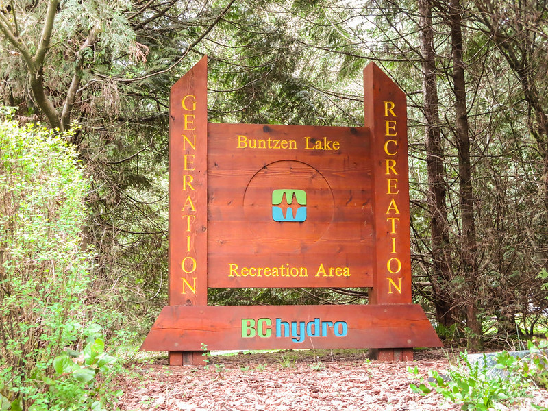
The Buntzen Lake Entrance Sign

The entrance sign was one of the more colourful signs around Buntzen Lake and looked quite different from the simpler yellow-lettered trail signs.


Old Buntzen Lake entrance sign

The Buntzen Lake entrance sign photographed in 2014.

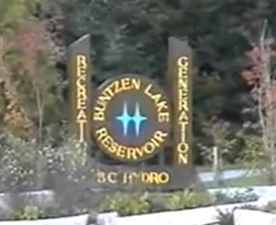
The Entrance Sign in 1995

The entrance looked quite different in 1995. The photograph below is not especially high resolution, but it provides an interesting comparison with the later entrance sign.


Buntzen Lake entrance sign in 1995

The Buntzen Lake entrance sign in 1995.

Old Signs Near Swan Falls

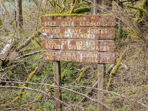
Some of the more interesting signs were in quieter parts of the trail system. Near the Swan Falls trailhead, I found several older wooden signs that many visitors probably never noticed.


Old wooden sign near the Swan Falls trailhead

An old wooden sign near the Swan Falls trailhead.

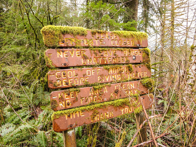
This one had almost become part of the forest, surrounded by moss and vegetation.


Old moss-covered sign near Buntzen Lake

An old sign slowly disappearing into the surrounding vegetation.

Signs Near the Parking Area

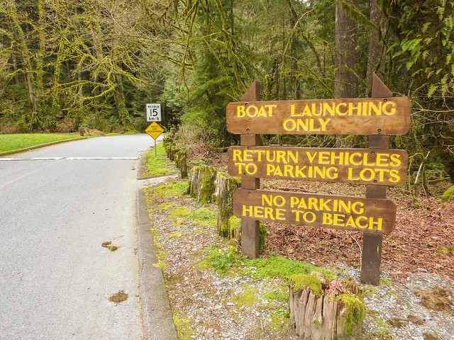
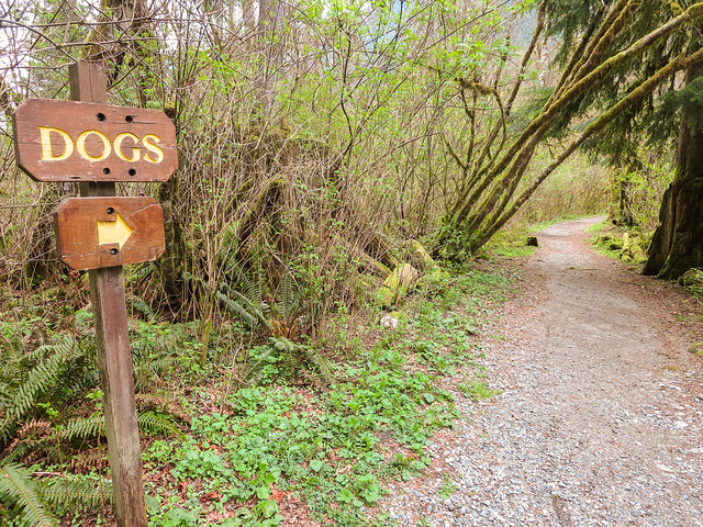
Some of the older signs around the main recreation area were much more practical, including signs for boating and dogs.


Old boat launching sign at Buntzen Lake

An old boat launching sign near the parking area.


Old dog information sign at Buntzen Lake

An older dog information sign near the parking area.

South Beach Warning Sign

This warning sign was located around South Beach. Like many of the older signs, it used a very simple wooden design that blended into the recreation area much more than modern metal or plastic signage would.


Old warning sign at South Beach, Buntzen Lake

An older warning sign at South Beach.

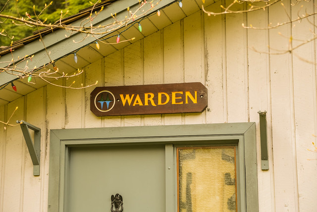
The Warden’s Office

Even the Buntzen Lake Warden’s Office had its own small wooden sign.


Old Warden's Office sign at Buntzen Lake

The old wooden sign at the Buntzen Lake Warden’s Office.

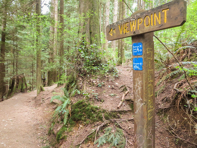
Viewpoint Signs

A number of small “Viewpoint” signs could also be found along the trail system. This one was on the east side of the Buntzen Lake Trail.


Old viewpoint sign on the Buntzen Lake Trail

An old viewpoint sign on the east side of the Buntzen Lake Trail.

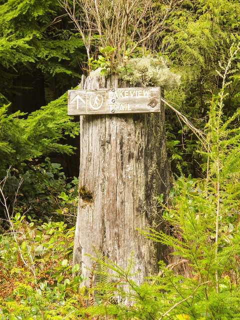
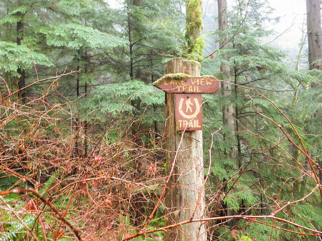
Lakeview Trail Signs

Lakeview Trail also had several of the classic wooden signs with yellow lettering.


Old Lakeview Trail sign at Buntzen Lake

An old Lakeview Trail sign.


Older directional sign on Lakeview Trail

Another old sign along Lakeview Trail.

Signs on the West Side of Buntzen Lake

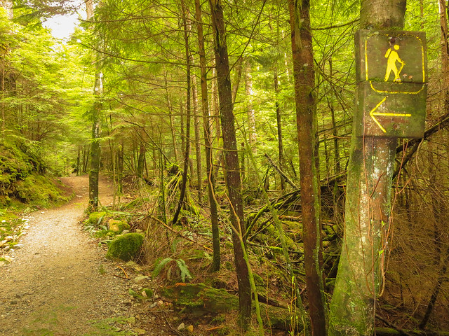
The west side of the Buntzen Lake Trail had a few directional signs that always struck me as slightly unnecessary because there often did not seem to be much choice about which way to go.


Old directional sign on the west side of Buntzen Lake

An old directional sign on the west side of Buntzen Lake.


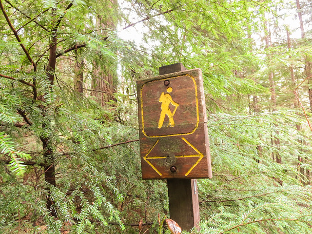
Old hiking trail sign at Buntzen Lake

Another old trail sign along the west side of the lake.
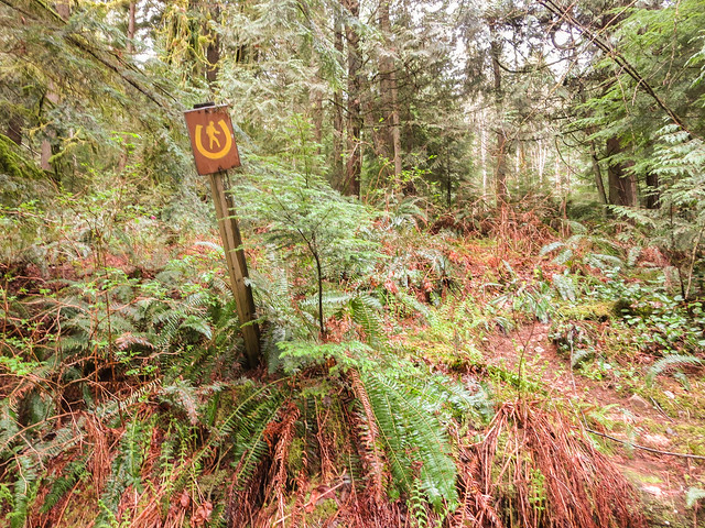
Equestrian Sign on Pumphouse Road

Buntzen Lake’s trail system has historically accommodated more than just hikers. This tiny equestrian sign on Pumphouse Road was easy to miss.


Old equestrian sign on Pumphouse Road at Buntzen Lake

A small equestrian sign on Pumphouse Road.

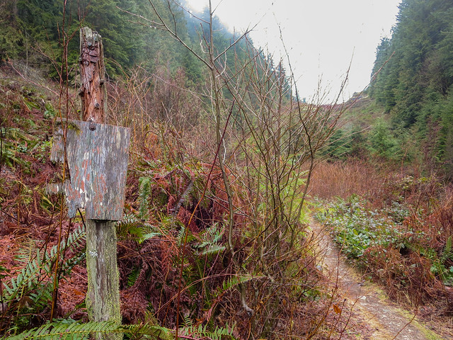
A Sign That Had Seen Better Days

Some signs survived better than others. This one had clearly spent a long time exposed to Buntzen Lake’s wet coastal climate.


Weathered old wooden sign at Buntzen Lake

A very weathered old wooden sign.

Small Pieces of Buntzen Lake History

Signs are easy to overlook, but they are part of the history of a recreation area. Designs change, trail names and routes evolve, and newer signs gradually replace older ones.

Looking back at photographs like these is interesting because they record details that may otherwise disappear without anyone really noticing.

For more about the history of the area, see my Buntzen Lake History page.

The photographs on this page are historical and mainly date from around 2014, with the entrance-sign photograph from 1995 noted separately. Current signage, trail directions, and recreation-area rules may differ.