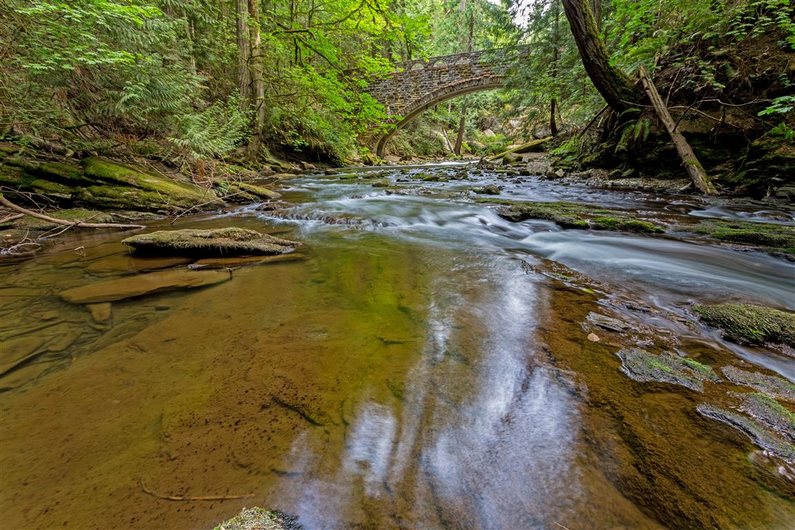
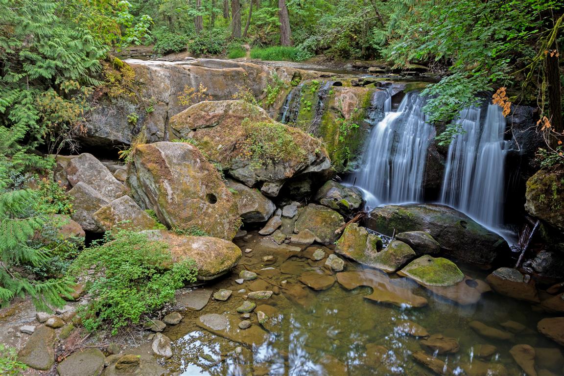
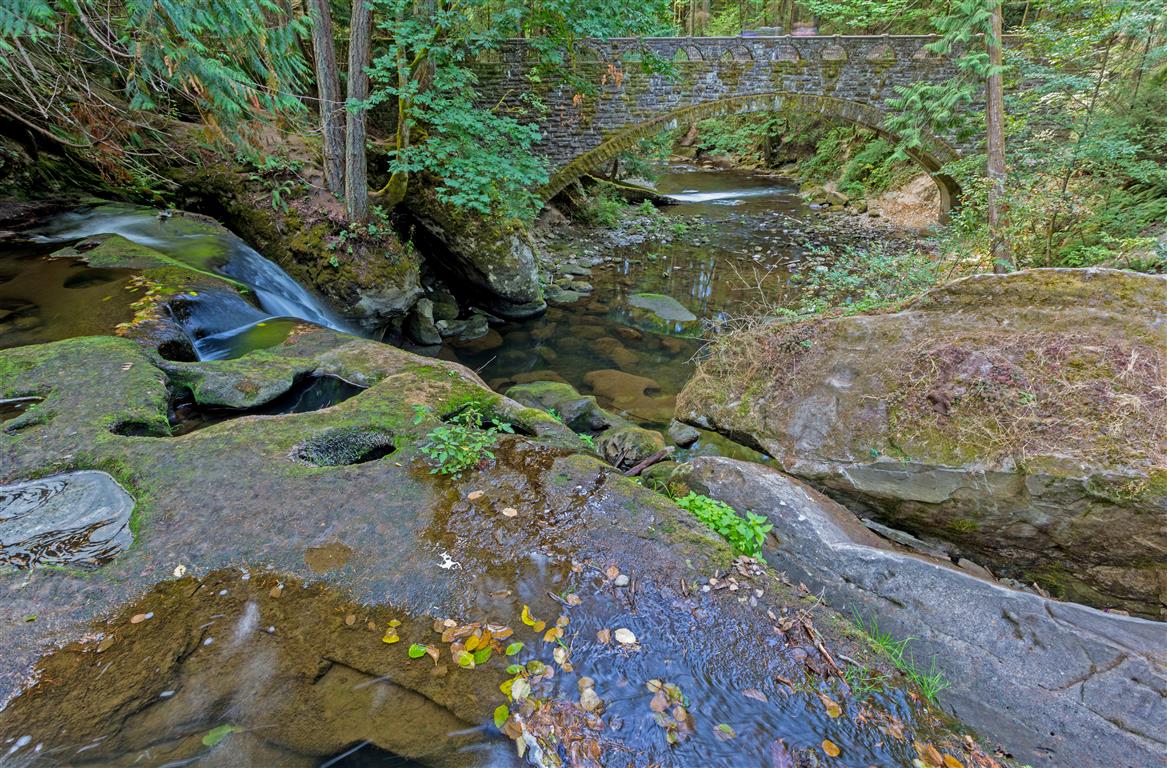
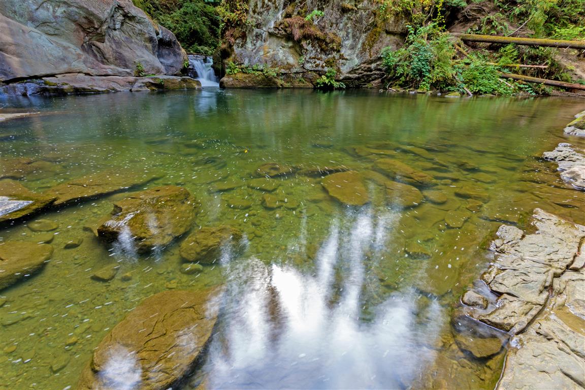
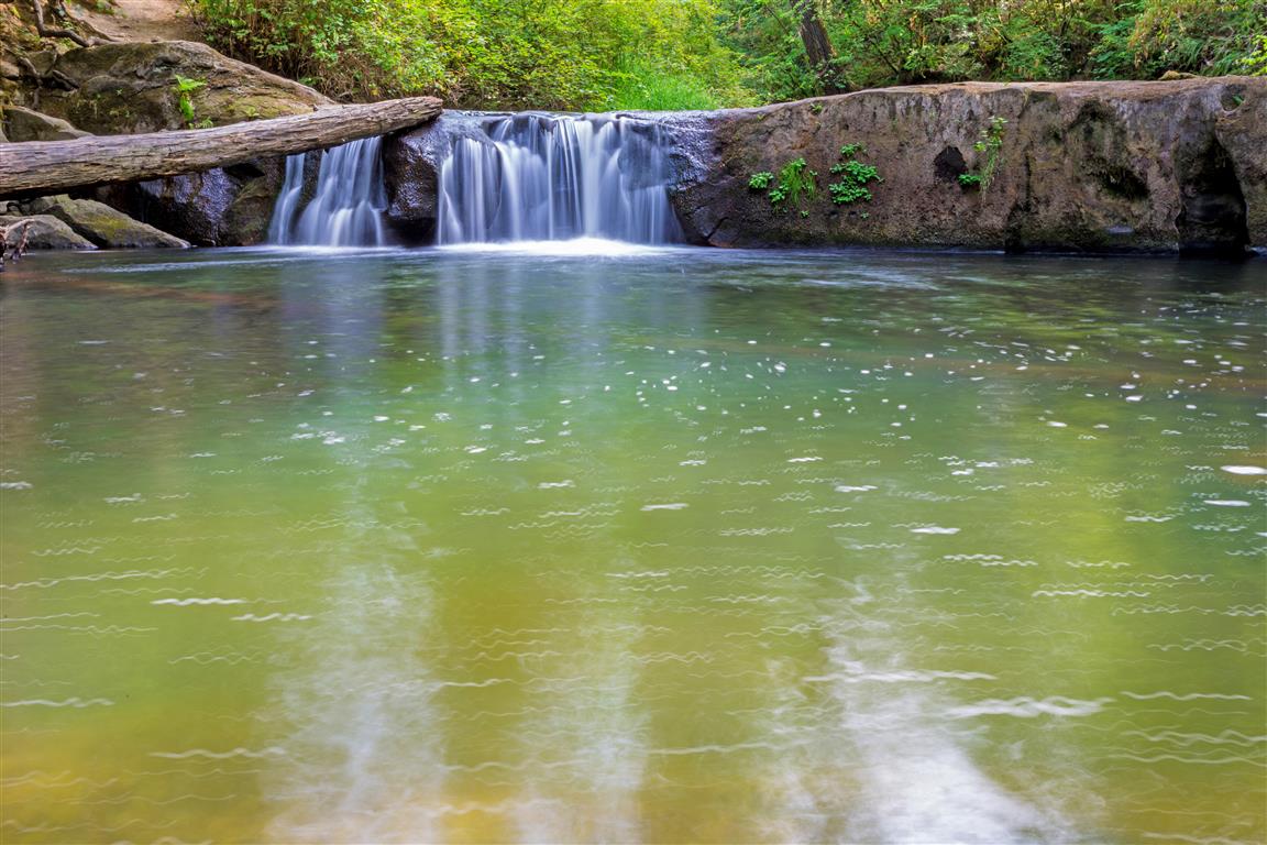
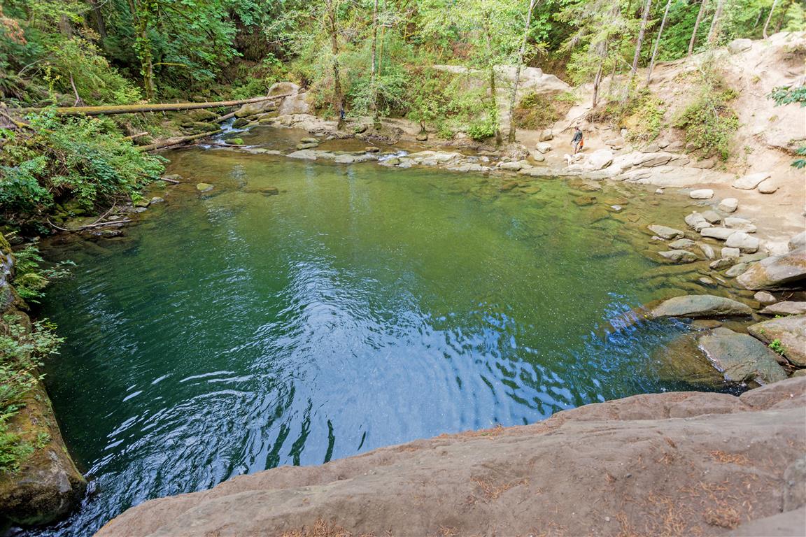
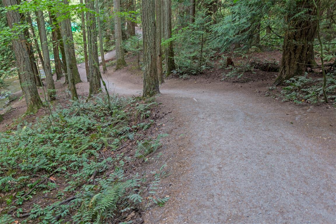
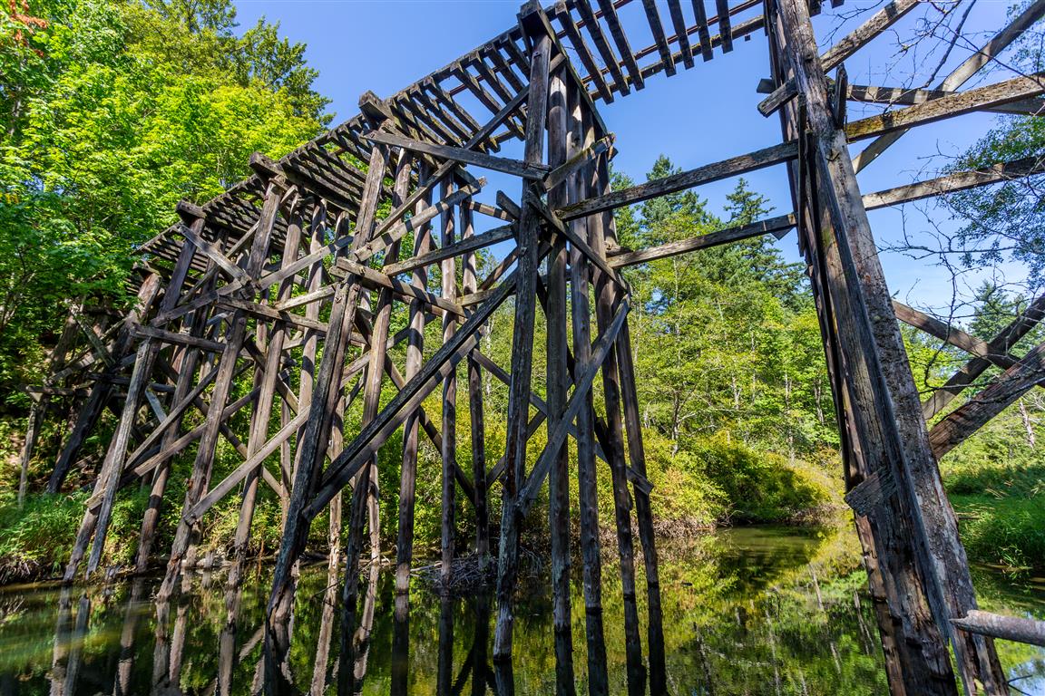
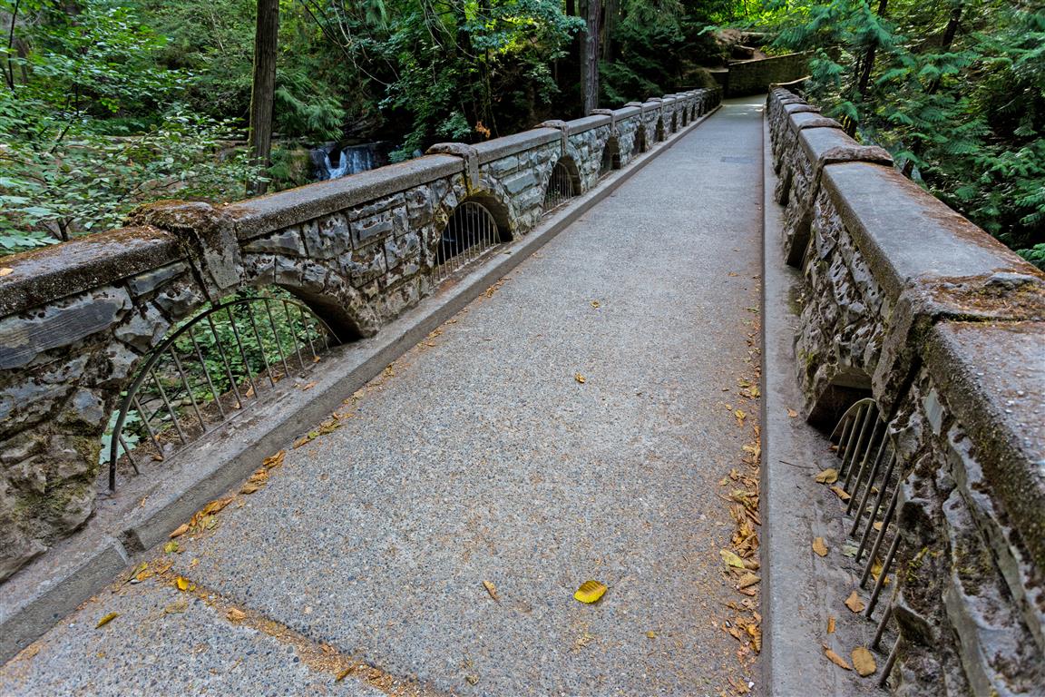
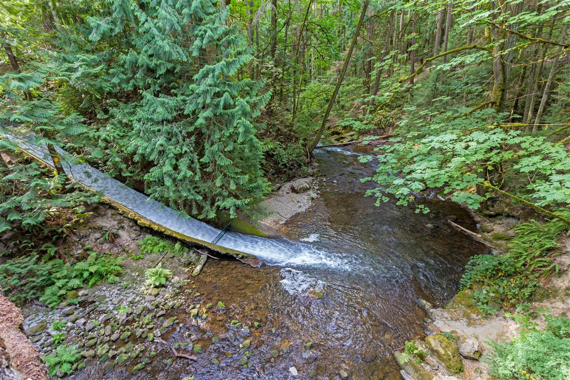
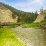
Whatcom Falls Park is an urban oasis in Bellingham, Washington. The park features a number of multi-use trails through a cool forest. It’s a great hike on a hot summer day! There are waterfalls, swimming holes, a great old stone bridge, and a decommissioned railway trestle. There are so many routes here, but I picked a nice loop (because I like loops!).
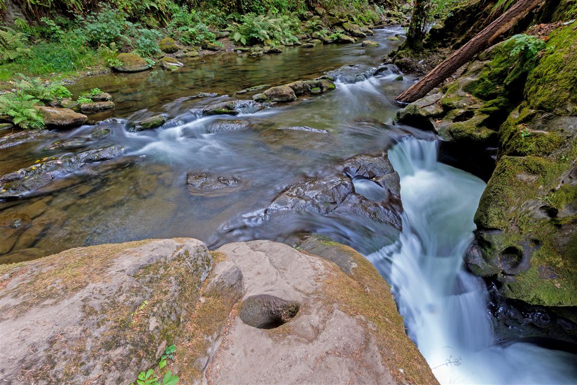
The geology of the area features sandstone, which is eroded smooth, and holes form in the rock. This park is similar in features and geology to Kanaka Creek Park in Maple Ridge, BC.
The actual GPS track from this hike, drawn on the map below. Green marks the start/end point.
Photos
Stream and bridge
Whatcom Park Falls
Falls and bridge
Falls and pool
Falls to pool
Little waterfall
Pool
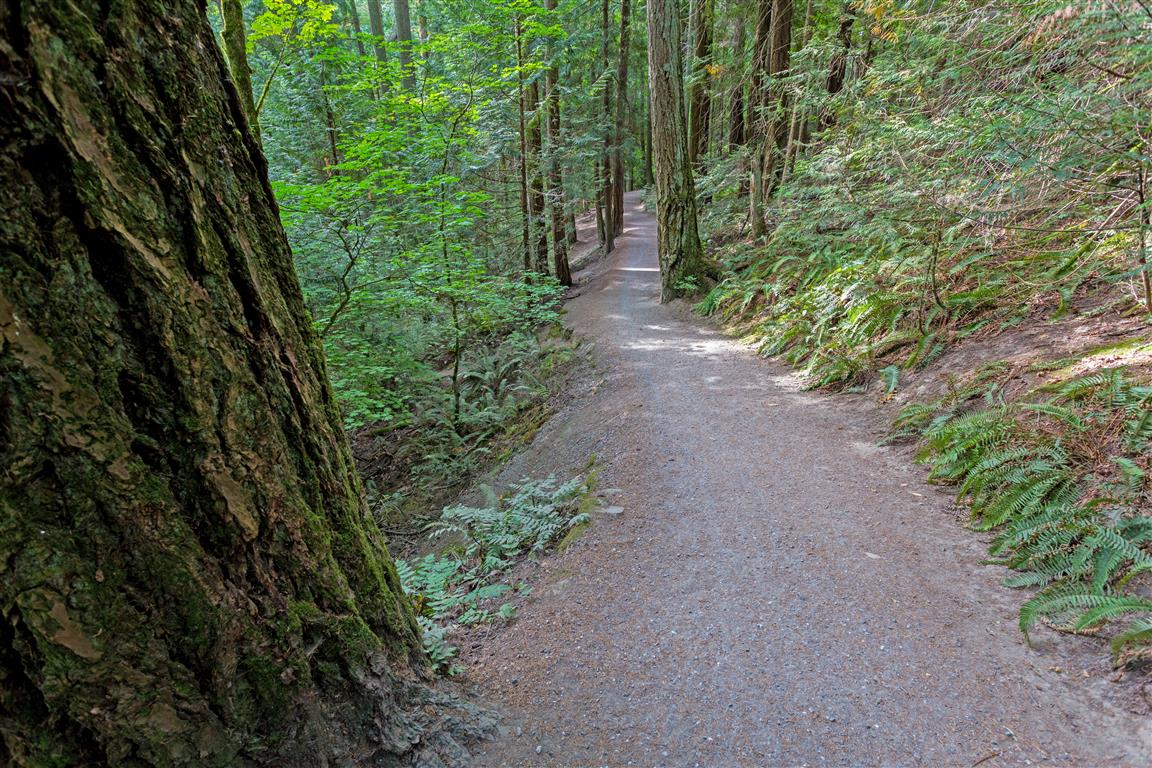
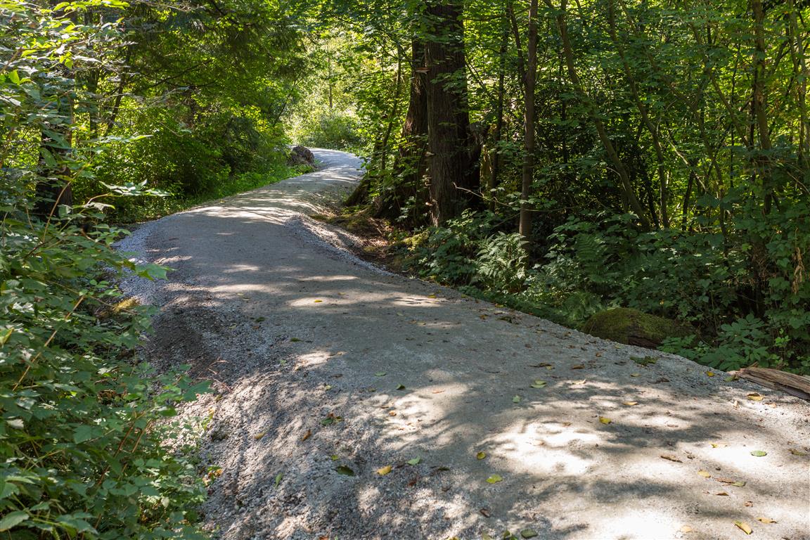
Trail
Trail
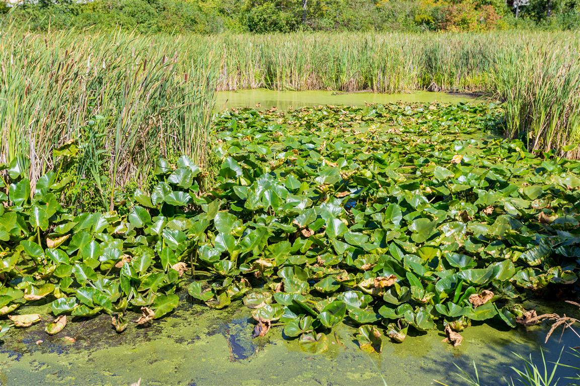
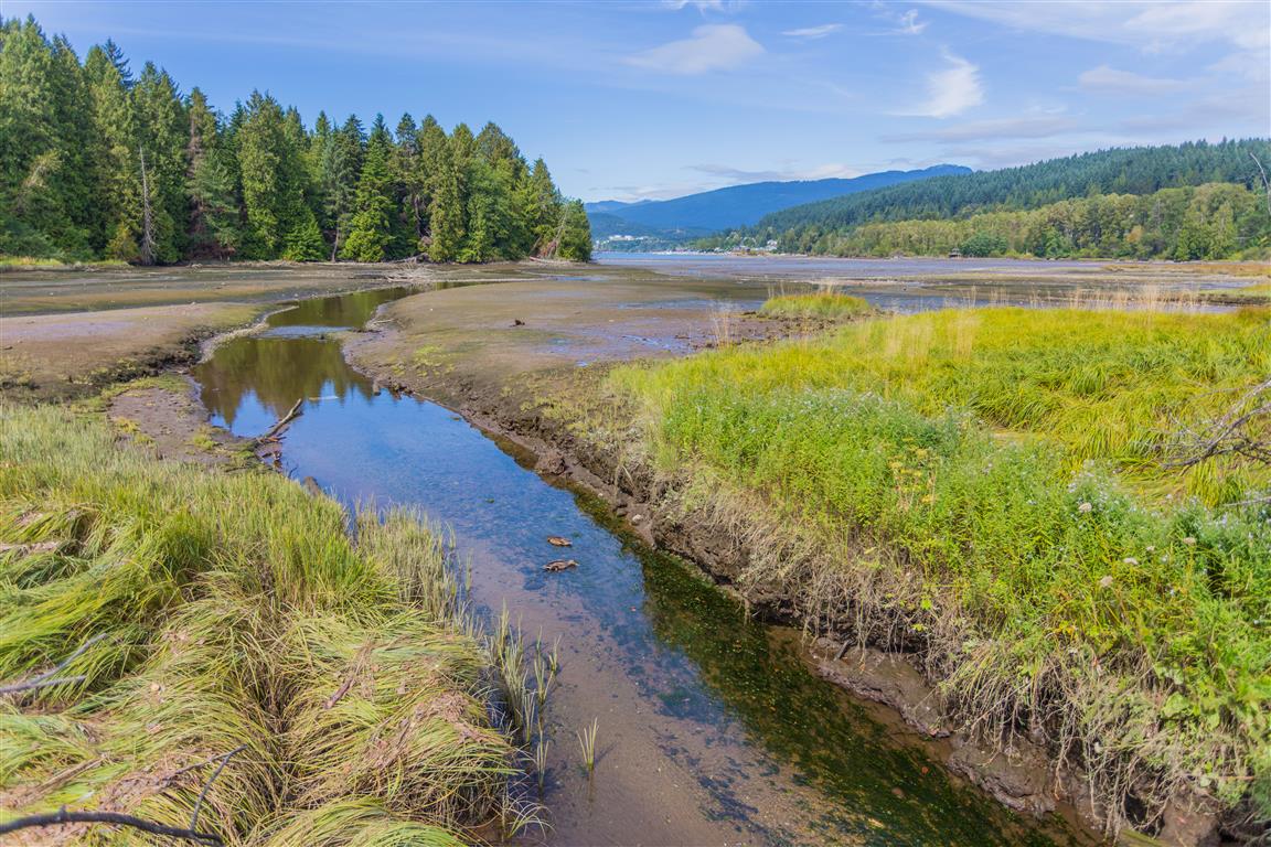
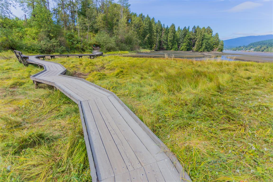
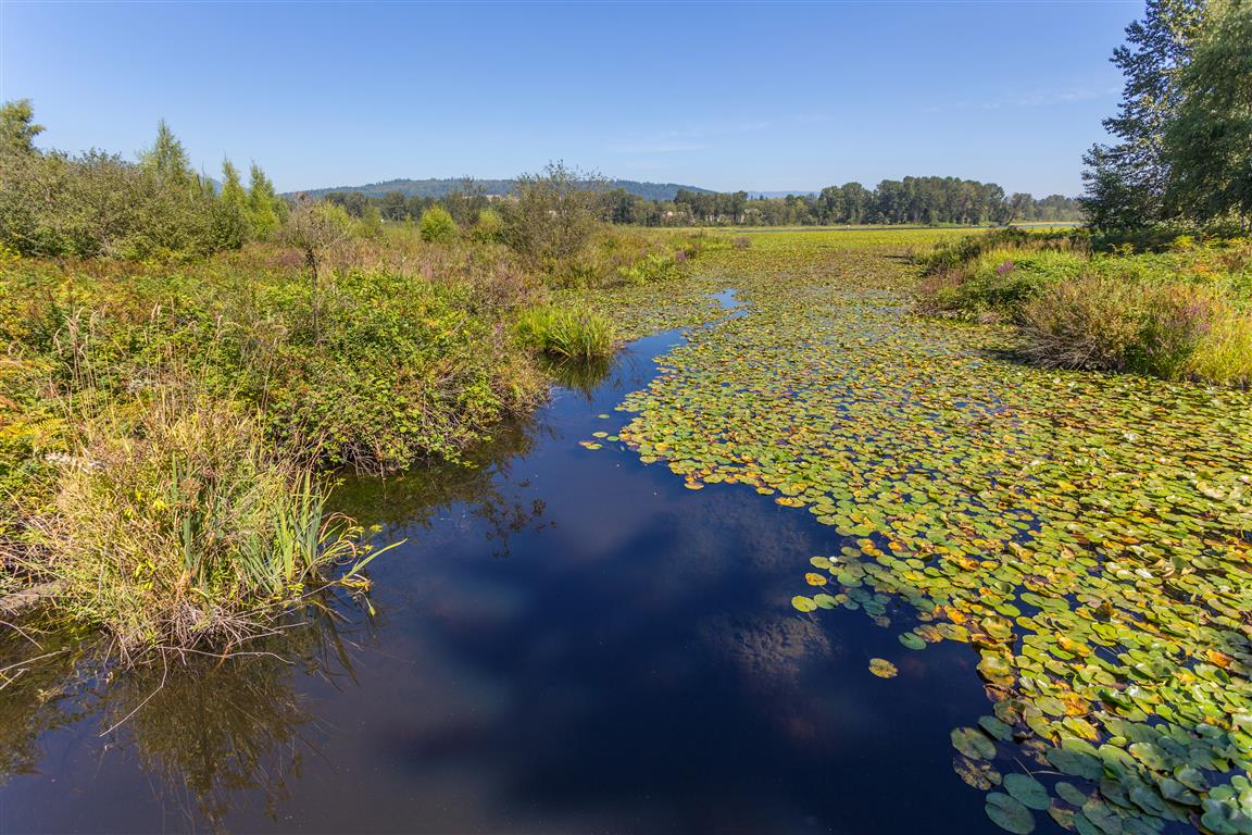
Marsh
Whatcom Falls Park Trestle
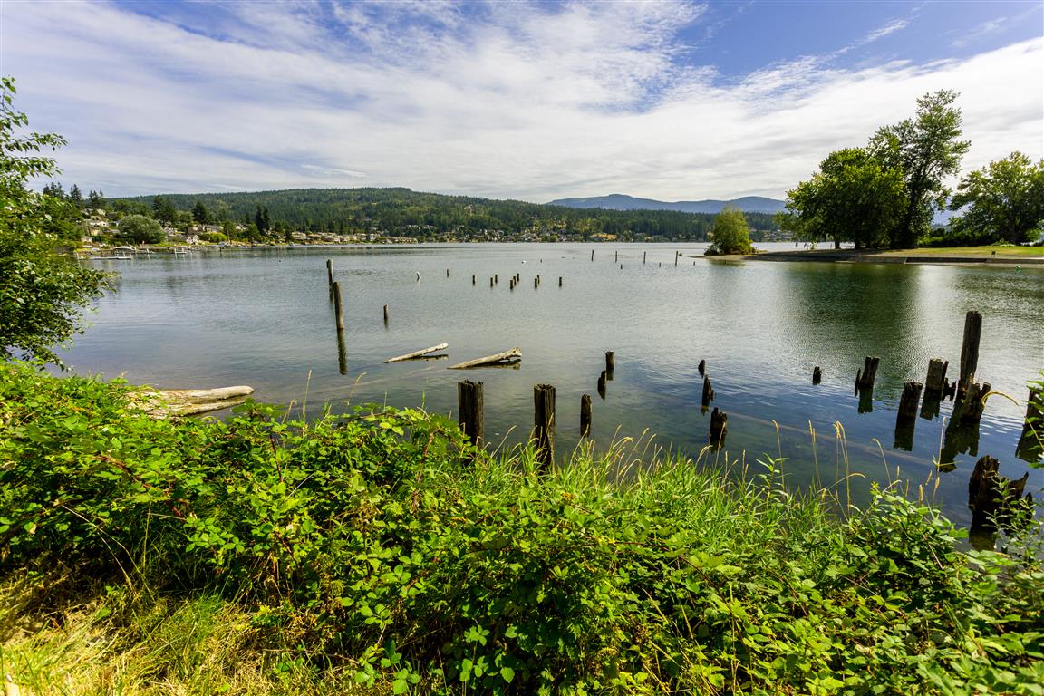
Lake Whatcom
Whatcom Park Falls Bridge
Whatcom Park Falls downstream
Conditions on this trail can change over time — trailheads move, access rules shift, and businesses close. This post reflects what I found when I did the hike.
The Shoreline Trail in Port Moody is an easy hike with great views. The trail wraps around the eastern tip of Burrard Inlet, starting at Rocky Point Park and ending at Old Orchard Park.
What You’ll See
Some of the features you can see on this hike include:
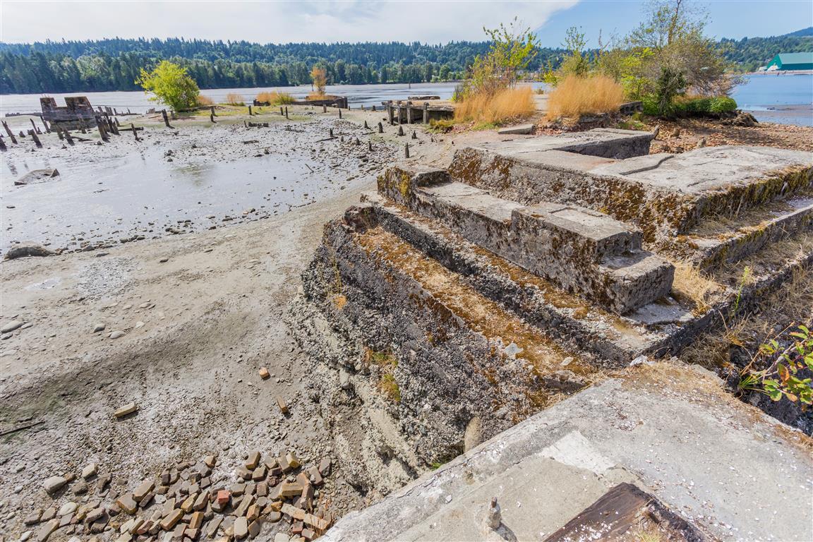
One of the most interesting stops along the trail is the old McNair Cedar Mill Site. The mill was run by Robert McNair of the Robert McNair Shingle Company, who partnered with BC Electric to build a rail line hauling cedar logs down from the Coquitlam Lake area to feed the mill, along with a dock to ship out the finished shingles and lumber. The mill operated for decades before it burned down in 1949, and today only a few relics remain among the trees, a quiet reminder of Port Moody’s industrial past. It’s also a favourite spot for birders, since dabbling and diving ducks are often seen in the water nearby. If you’d like to see a piece of the mill’s history up close, the Old Mill Boathouse at Rocky Point Park was built using 100-year-old fir beam trusses salvaged from the original millsite.
The Heron Colony
Another real highlight of this trail is the small heron colony (a “heronry”) located in the trees near the Old Orchard Park end of the route. It’s home to a handful of nesting pairs of Great Blue Heron, the large, long-legged birds you’ll often see standing motionless in the shallows or gliding low over the water on their way to or from the nests. The colony is thought to be linked to a larger heronry that once existed at the mouth of the Coquitlam River, and the birds here have grown accustomed to people passing by on the trail below. The City of Port Moody has installed a protective barrier around the nest trees to keep foot traffic from straying too close, since herons are easily disturbed, especially during nesting season, and may abandon a nest entirely if they feel threatened. Great Blue Herons are also protected under the BC Wildlife Act, so please stay on the trail, respect any barriers or signage, and give the birds plenty of space to watch and admire them. Spring is typically the best time to see nesting activity, with chicks visible in the nests by early summer.
Parking
The only problem with this hike is the small parking lot at Rocky Point. You can park on the street if it’s full — just check first to see if there are any special events going on at Rocky Point.
The actual GPS track from this hike, drawn on the map below. Green marks the start/end point.
Photos
Creek going into Burrard Inlet
The New Shoreline Trail Boardwalk
The boardwalk shown in the older photograph below is no longer the current structure. The City of Port Moody completed a major replacement of approximately 440 m of boardwalk, bridge, and gravel trail through Pigeon Cove between 2024 and 2025.
Phase 1, between Murray Street and Suter Brook Creek, was completed in December 2024. Phase 2 continued from Suter Brook Creek to just beyond Noons Creek and was completed in September 2025. The full new boardwalk officially opened on 13 September 2025.
The original timber boardwalks had been built more than 30 years earlier and were increasingly affected by king tides and storm surges. The replacement boardwalk is wider and more accessible, has been raised to better accommodate rising sea levels, and includes handrails and improved ramps. Its design also helps reduce disturbance to the sensitive tidal-marsh environment.
The former Shoreline Trail boardwalk, photographed before the 2024–2025 replacement project.
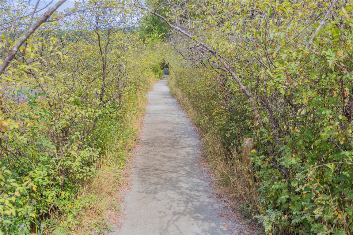
Trail
McNair Cedar Mill Site (click on image for more info and photos)
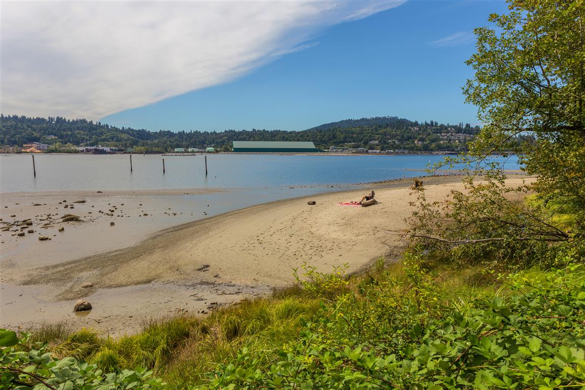
Sandy beach
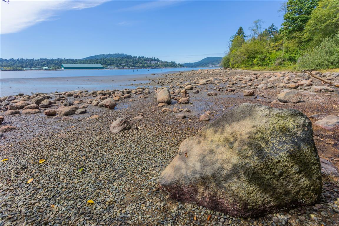
Rocky beach
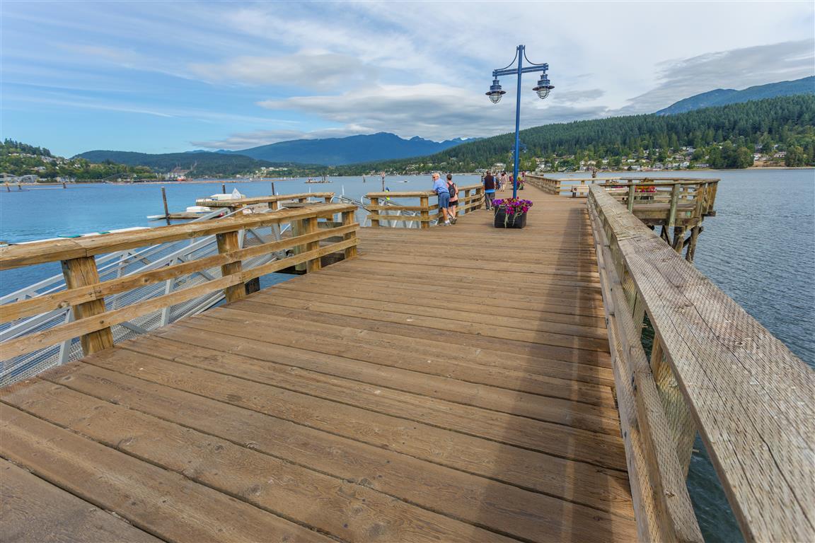
Port Moody Wharf
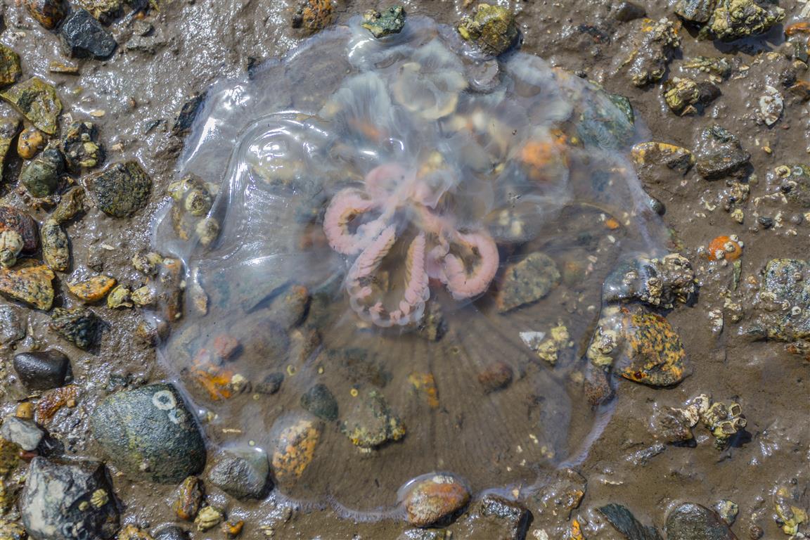
Jellyfish
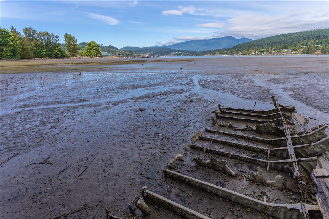
Boat wreck
Conditions on this trail can change over time — trailheads move, access rules shift, and businesses close. This post reflects what I found when I did the hike.
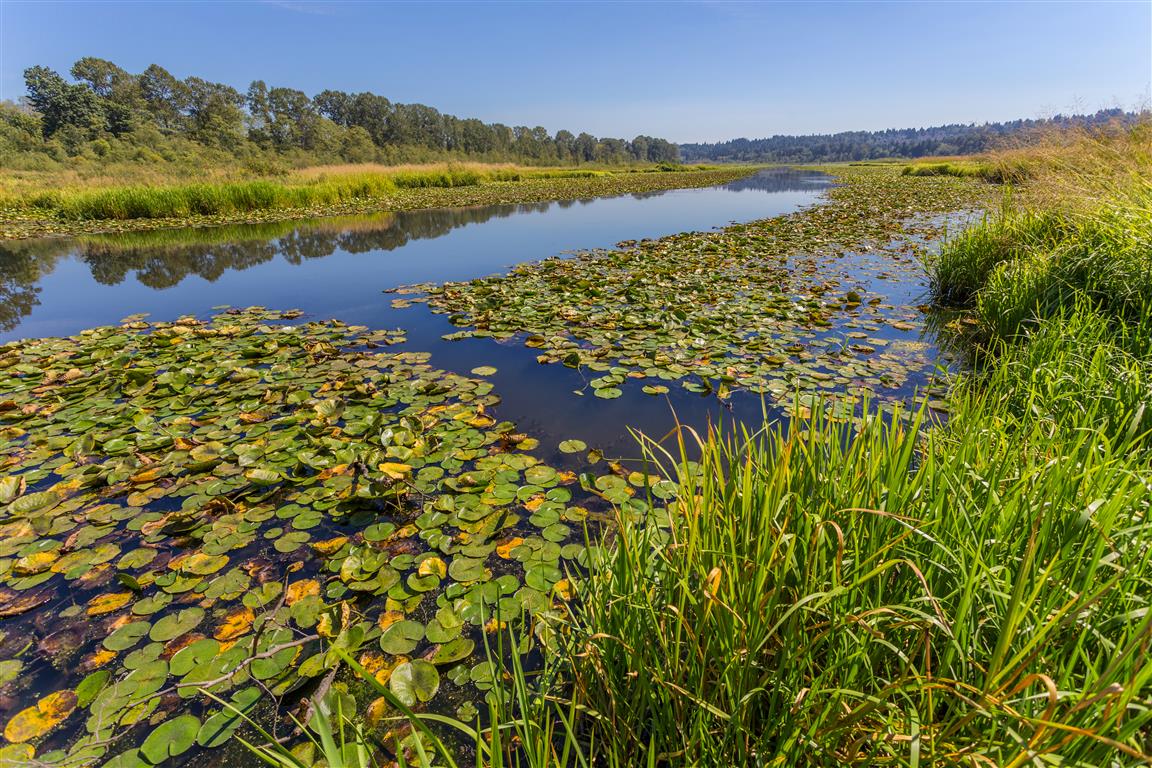
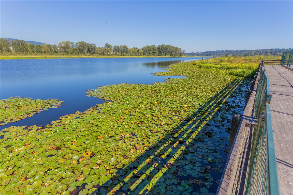
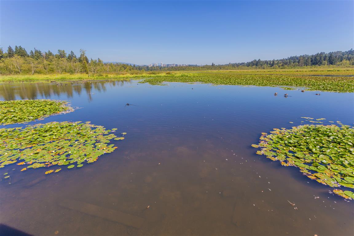
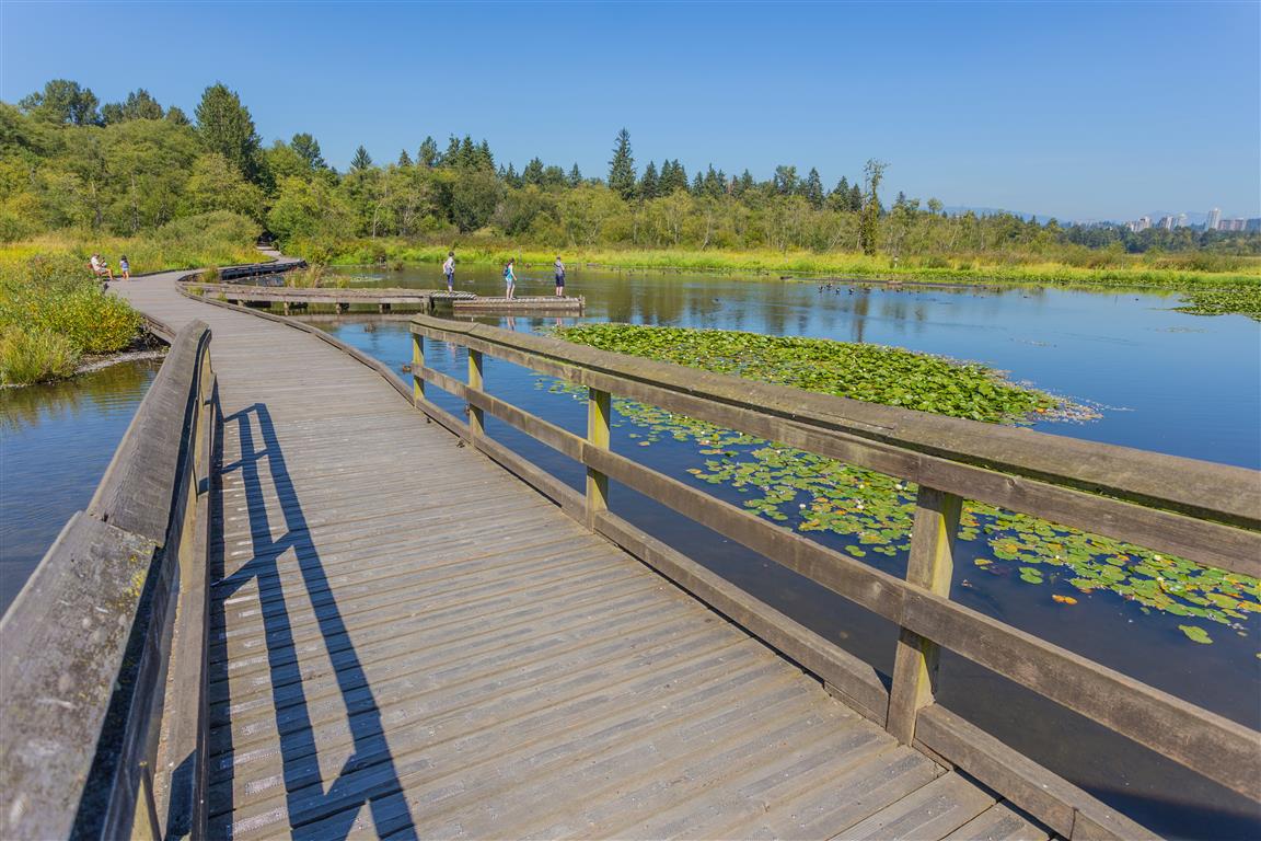
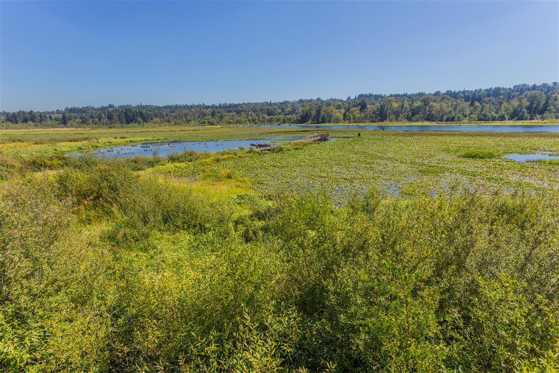
Burnaby Lake is the largest lake in Metro Vancouver, and there is a trail that goes all the way around. For an added bonus, there are a number of different entry points to start your hike/walk. For my walk, I started at the east end of the lake and parked in the Avalon Avenue parking lot.
There are a number of small creeks that feed the lake, including Still Creek at the west end. The lake has a dam (Cariboo Dam), which leads to the Brunette River, which then goes to the Fraser River.
The actual GPS track from this walk, drawn on the map below. Green marks the start/end point.
Photos
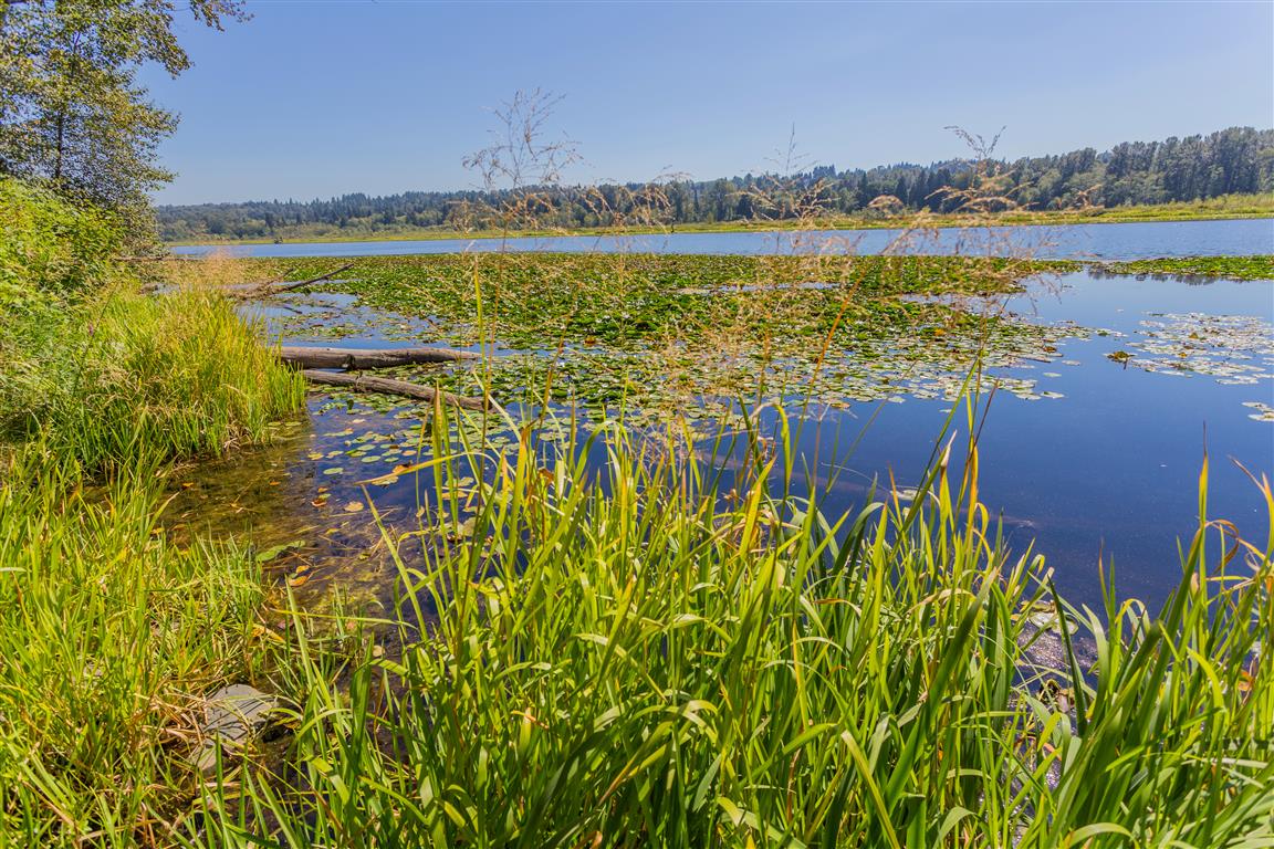
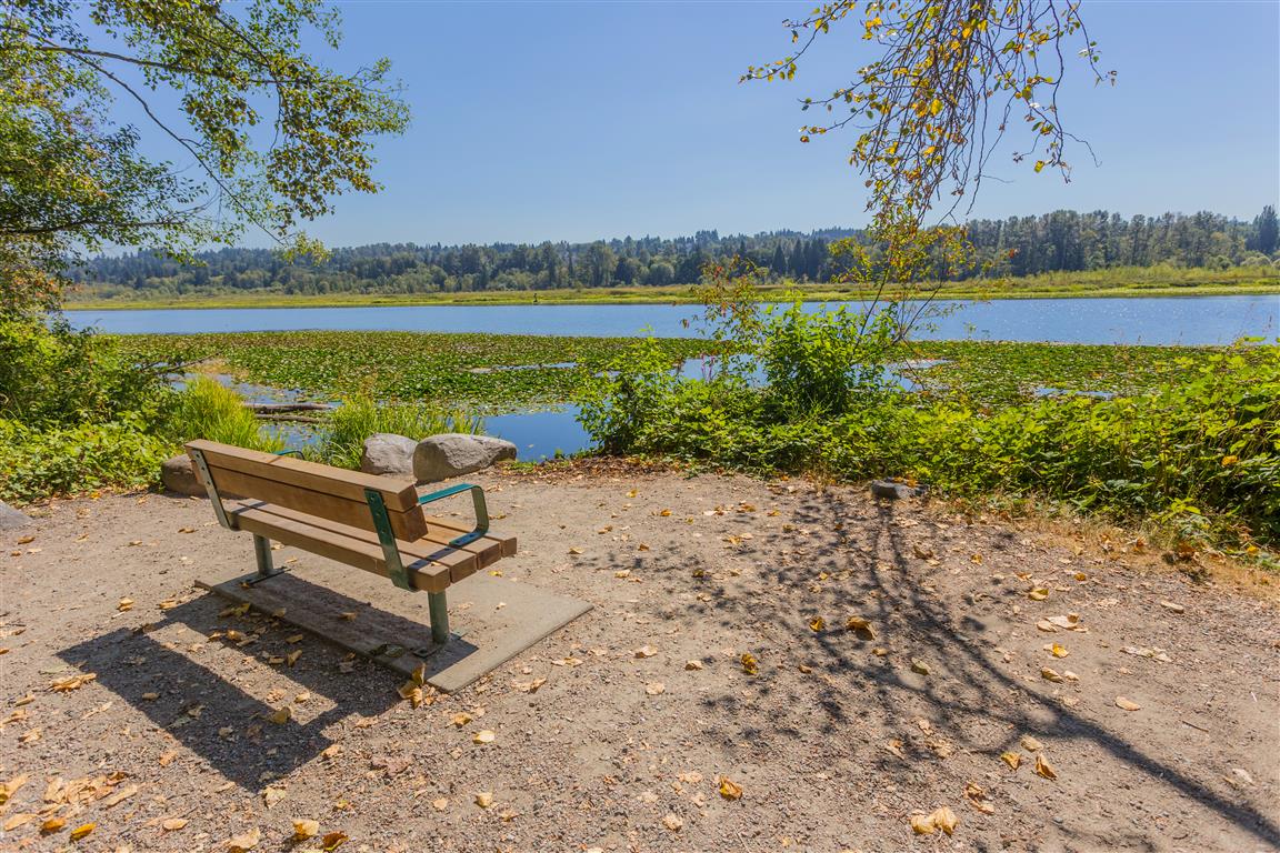
Burnaby Lake
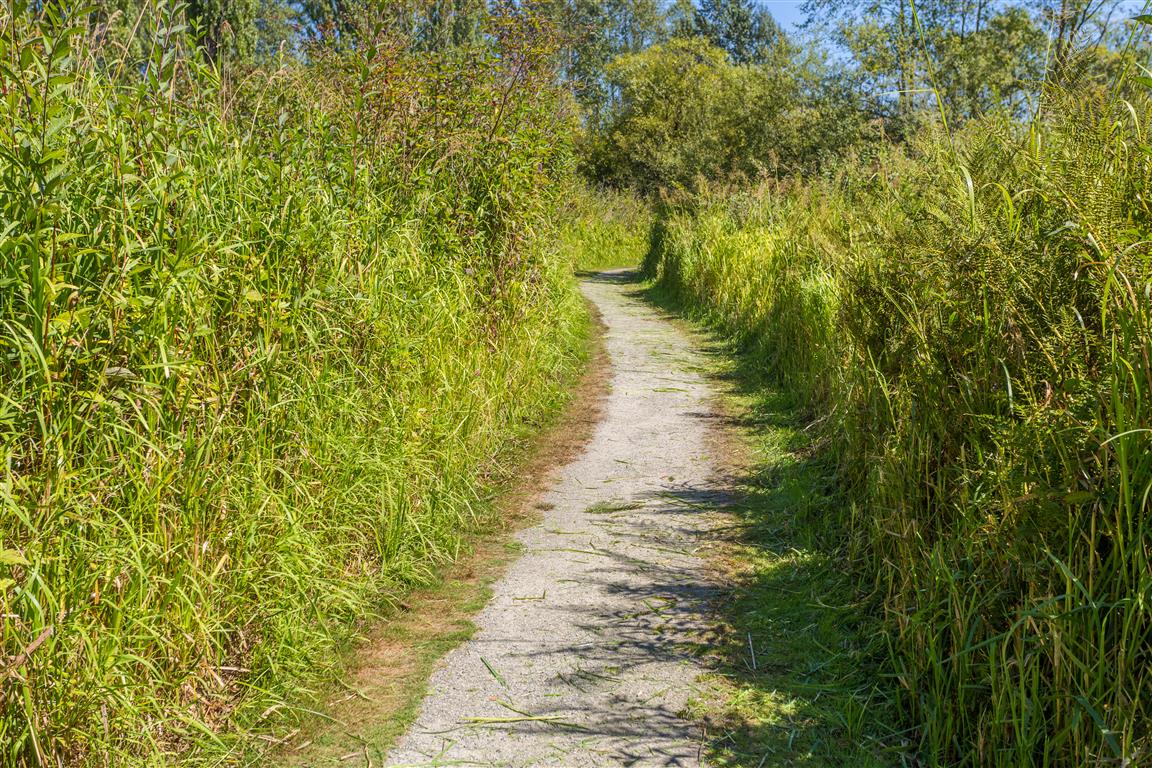
Trail
Trail bounded by high grass
Phillips Point
Deer Lake Brook
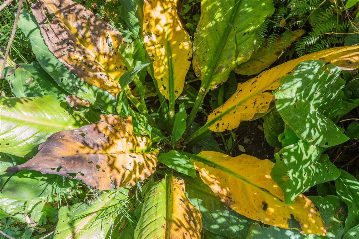
Decaying skunk cabbage
Burnaby Lake
Burnaby Lake from Rowing Club
Burnaby Lake at Piper Spit
Burnaby Lake at Piper Spit
Burnaby Lake
Conditions on this trail can change over time — trailheads move, access rules shift, and businesses close. This post reflects what I found when I did the walk.
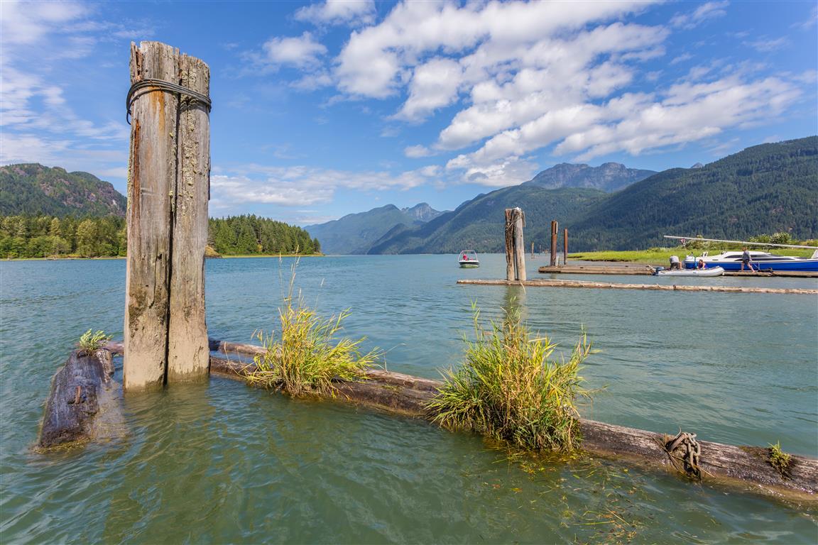
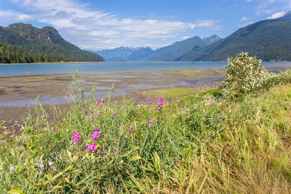
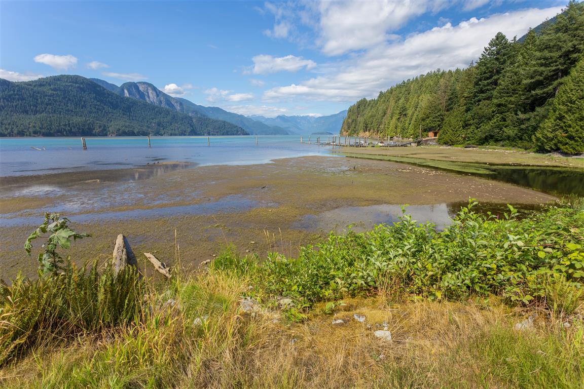
The full name of this area is the Pitt-Addington Marsh Wildlife Management Area. It is located where Pitt Lake drains into the Pitt River.
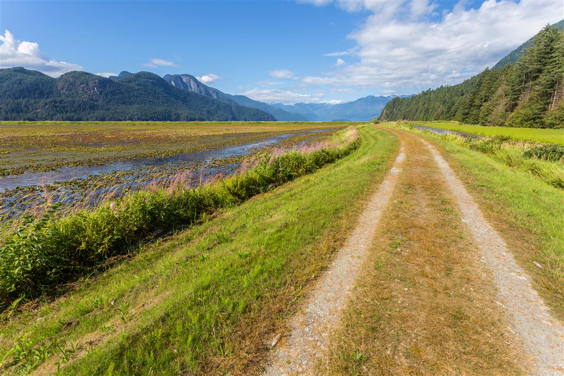
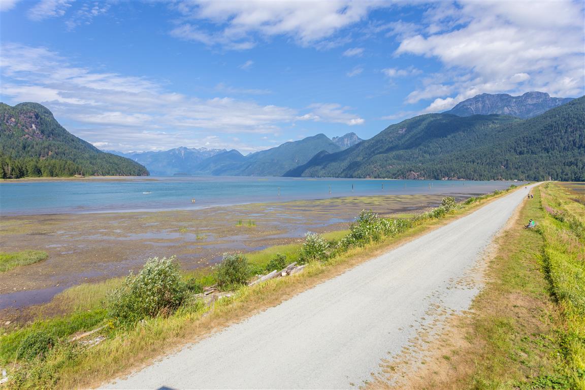
There is a network of dykes and trails taking you along the river, lake and marshland. This is more of a walk, as it is completely flat, but the distances can be over 10 km, depending on where you go.
About the Marsh
The Pitt-Addington Marsh WMA supports over 200 bird and 29 mammal species. This WMA is generally a flat, alluvial floodplain made up of dyked and undyked areas. Pitt Lake is the largest tidal freshwater lake in North America. There is a rare reverse delta at the mouth of the Pitt River, a result of deposition which occurs when rapidly flooding tides dam and reverse the main Fraser River outflow back up into Pitt Lake. The WMA also contains the Pitt Polder Ecological Reserve, an area of sedge bog and two forested granitic outcrops rising 114 m above the floodplain.
Interesting Facts About Pitt Lake
It is 24 km long
Is considered a tidal fjord lake
There is on average a three-foot tide range
Pitt Lake is in a typical U-shaped glacial valley
The Upper Pitt River originates in Garibaldi Provincial Park
Pitt Lake and Pitt River are named after William Pitt the Younger, who became the youngest Prime Minister of Great Britain in 1783, at age 24
The lake’s unusual tidal behaviour exists because the Fraser River’s own flow backs up Pitt River at high tide, pushing water into the lake. A flood tide surface velocity of 71 cm per second has been recorded in the narrows during this reverse flow
Pitt Lake was once an ocean fjord; seashells can still be found on its eastern slopes today, a reminder of its marine past before it became cut off from the sea by sediment roughly 10,500 years ago
The area is tied to the legend of Slumach’s lost gold mine, a long-running BC treasure story about a hidden gold deposit somewhere in the mountains northeast of the lake. Historians have found no evidence to support it, but the legend persists
The actual GPS track from this walk, drawn on the map below. Green marks the start/end point.
Photos
Pitt Lake
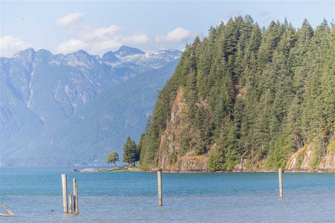
Pitt Lake
Pitt Lake
Dyke in marsh
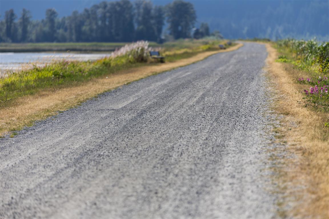
Dyke path
Dyke
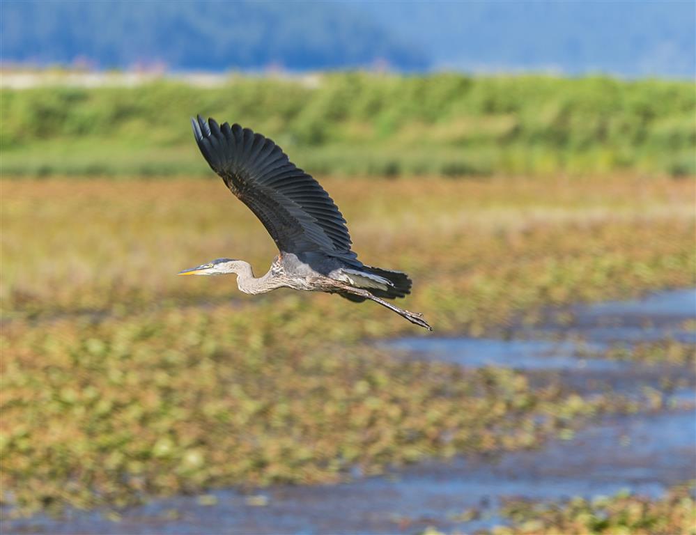
Heron
Mountains
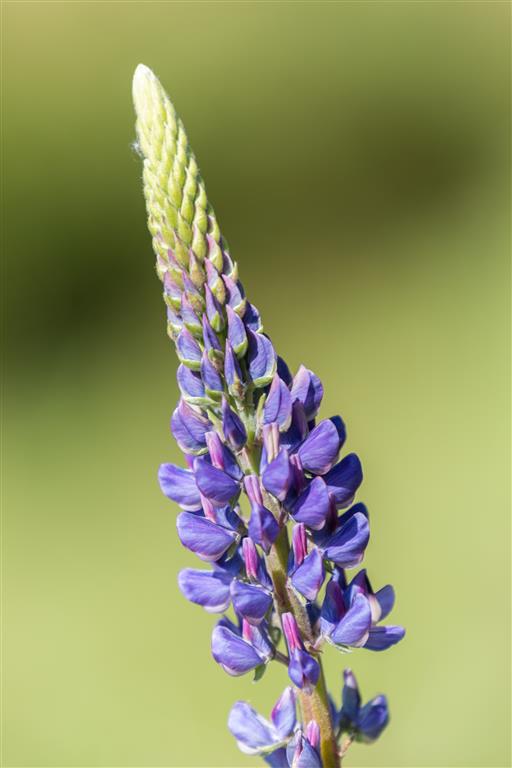
Purple lupine
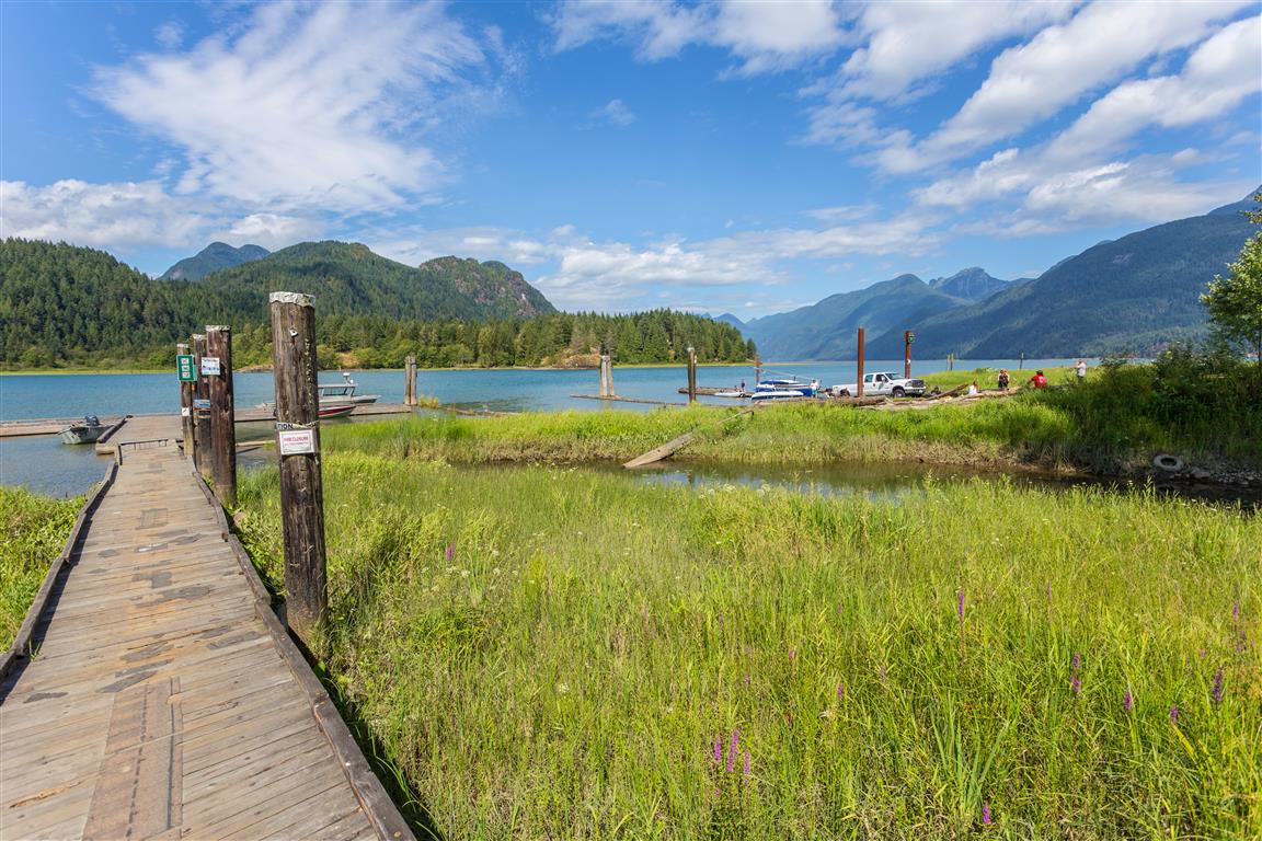
Wharf
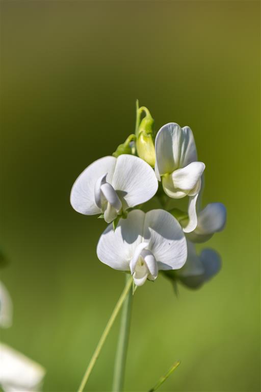
White sweet pea flower
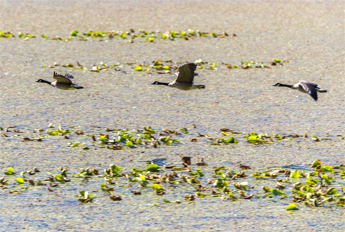
Canada geese
Conditions on this trail can change over time — trailheads move, access rules shift, and businesses close. This post reflects what I found when I did the walk.