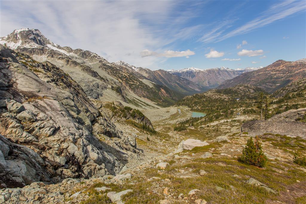
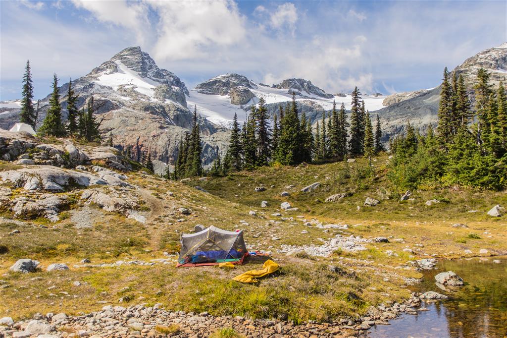
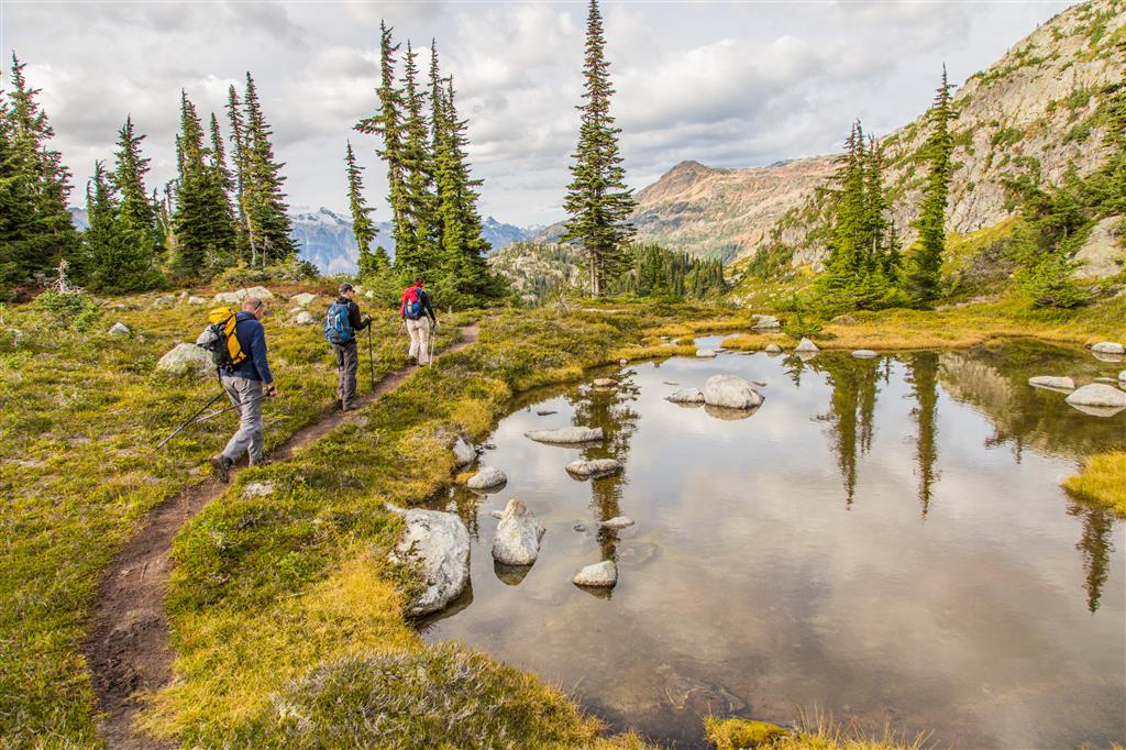
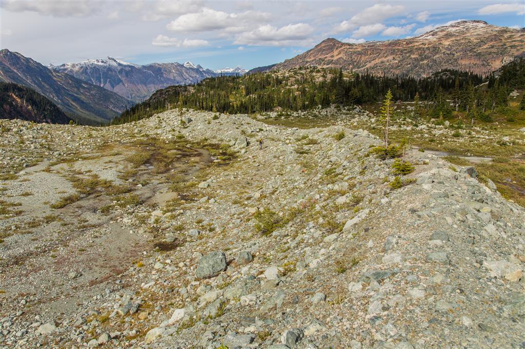
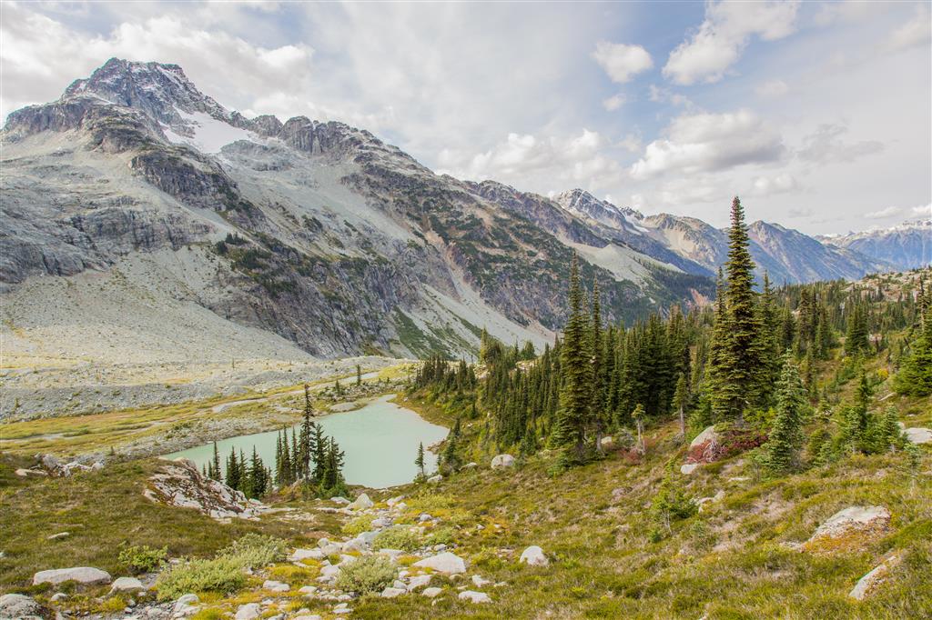
Ptarmigan Ridge is another great hike in the North Cascades in Mount Baker-Snoqualmie National Forest, Washington. The trail starts at Artist Point, 12 km northeast of Mount Baker summit. Artist Point is the starting point for a number of great hikes, such as Table Mountain and Chain Lakes. And a bonus… the road to Artist point is paved the entire way !! The trail is almost entirely in the open, with shaded areas in the premium. The route follows a well built trail traversing scree slopes of the ridge. There are non-stop views on this hike, including Mt. Baker, Mt. Shuksan, numerous glaciers, ice fields, lakes and former glaciers, which appear to have a short time left; we even saw five mountain goat. Today was an amazing mid-September day, with highs in the upper 20’s, no clouds, no wind and no bugs, making for an enjoyable hike. The Ptarmigan Ridge trail seems to go on for a long time. We finally had to make a decision when to turn around. This hike would make a great area for camping, as there are many locations to pitch a tent and so much to explore.
Remember – You will need a Northwest Forest Pass, which can be purchased in person at the Glacier Public Service Center at 10091 Mt. Baker Highway,Glacier, WA (Link to Map)
Or you can buy an epass in advance online at the Discover Your Northwest website
Border crossing tips: Bring passport, Nexus or enhanced ID !!; no fruit, no veges, no meat (this isn’t a complete list !); trailmix is ok. There is an IGA just across the border if you want to get some fruit or a sandwich for your hike.
A great resource for current conditions for this hike is the WTA website.
Check it OUT !!!
The location of Artist Point is HERE
The stats:
Distance: 16.2 km (linear return)
Time: 6 hours
Low point: 1525 m
High point: 1878 m
Elevation gain: 353 m
Cumulative Elevation gain: 785 m
Trailhead: 48° 50’ 47.6” by 121° 41’ 36.6” (Google Map)
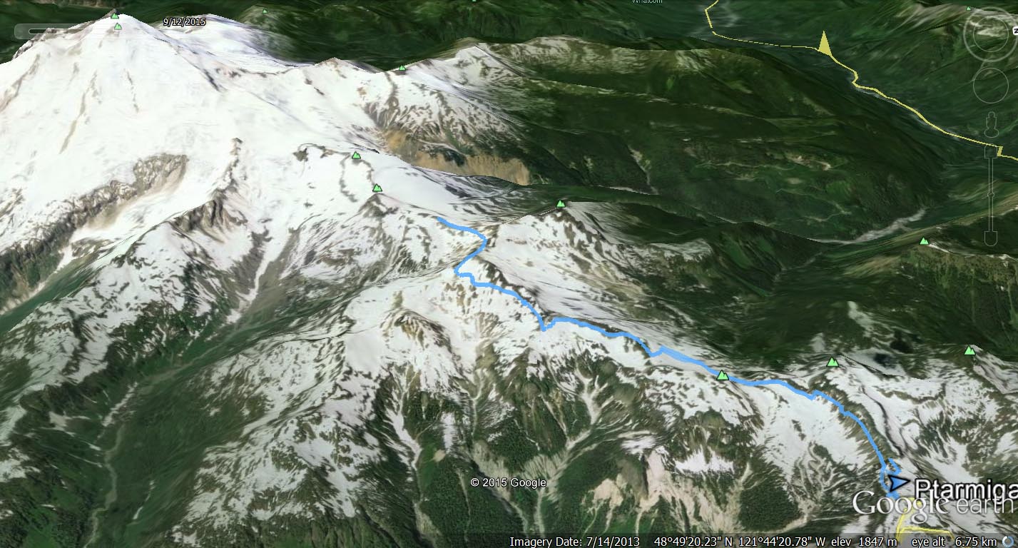
The route…
From Google Earth…
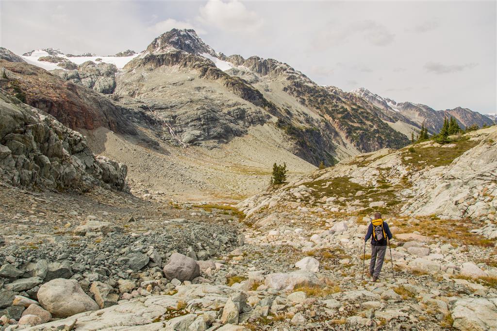
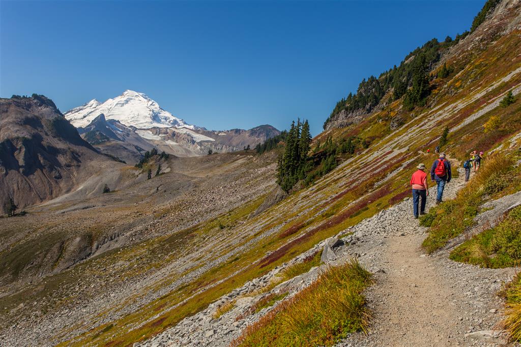
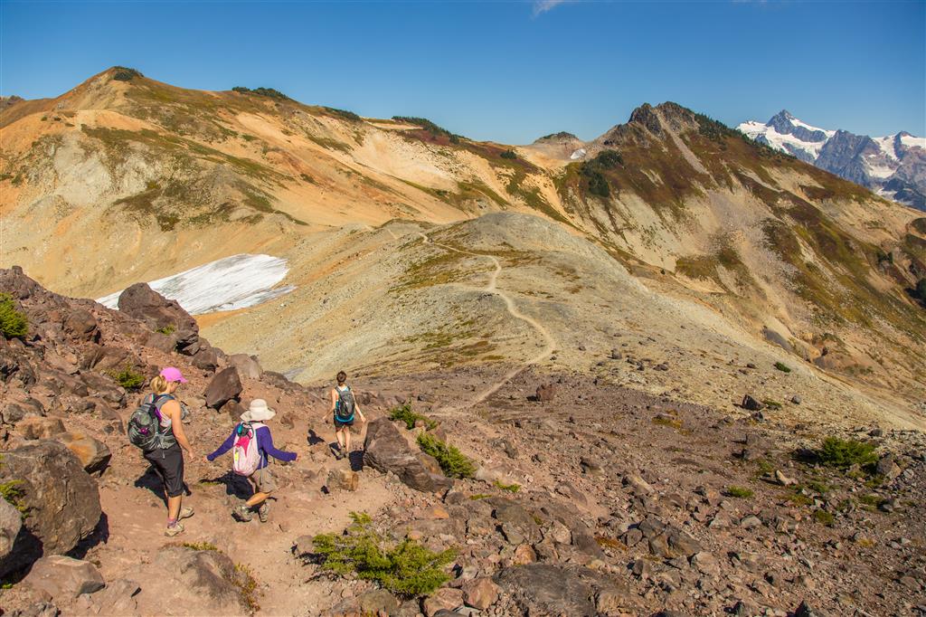
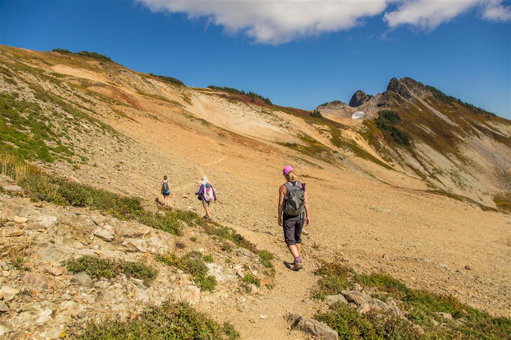
Walking along trail with Mt. Baker in view…
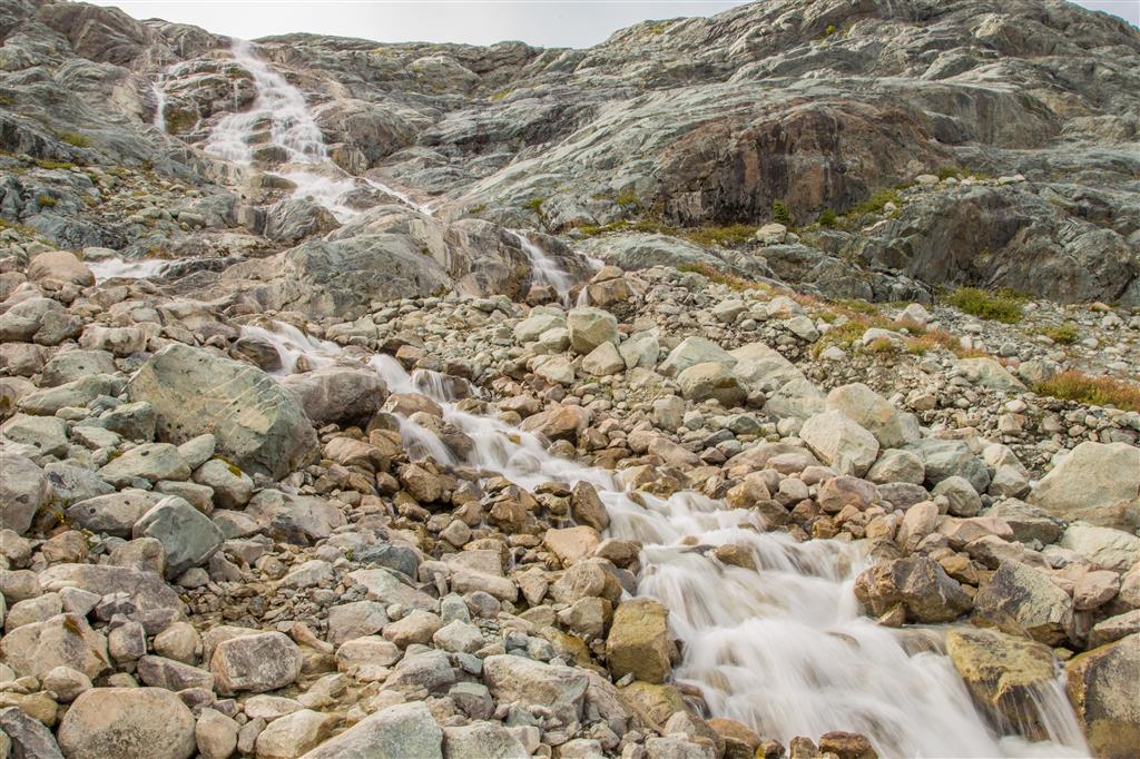
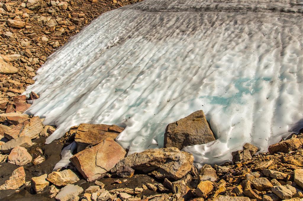
Short video of an ice patch (former glacier) melting…
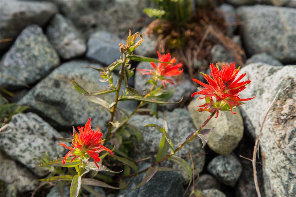
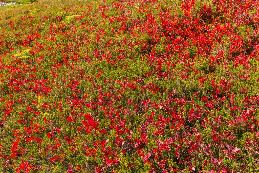
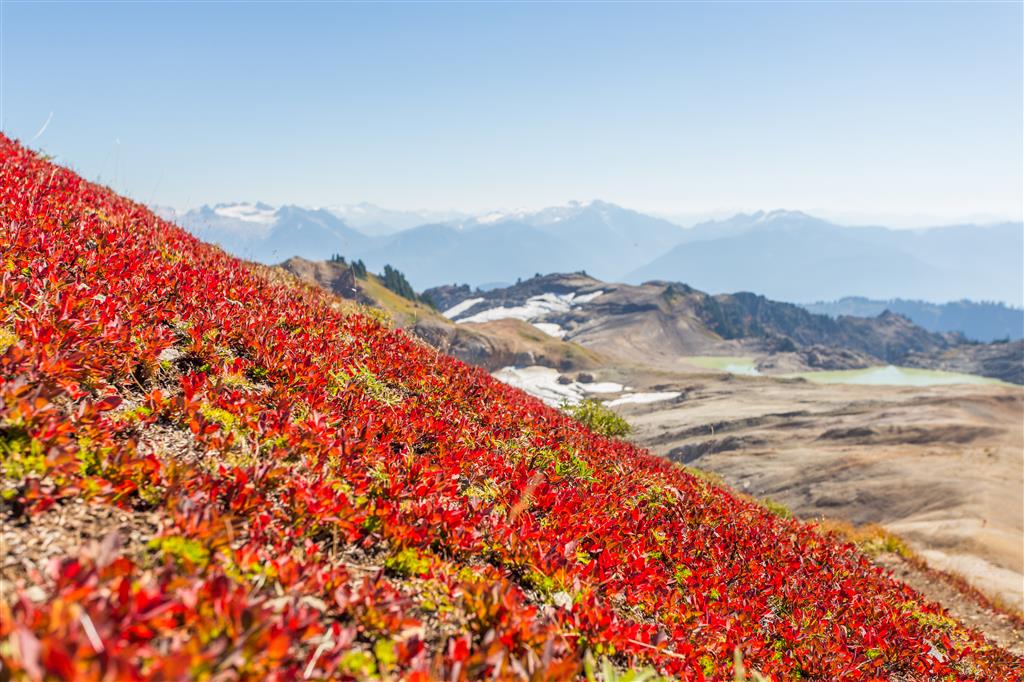
Beautiful fields of red…
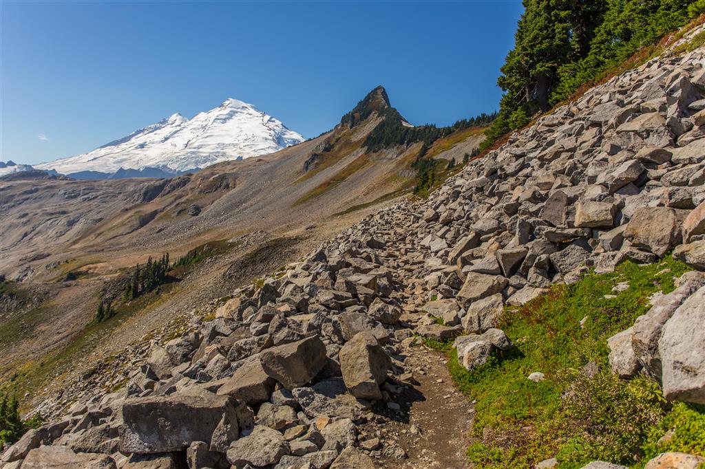
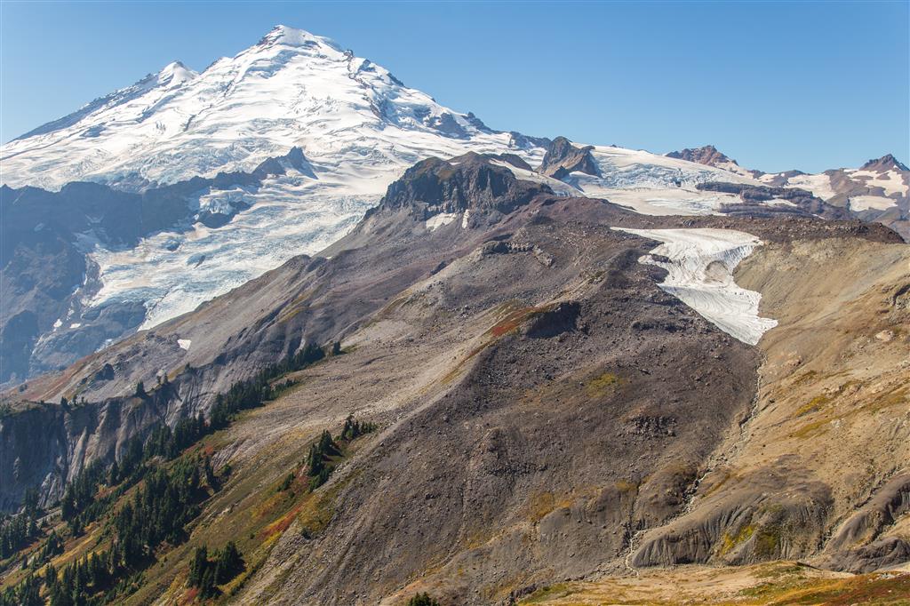
Mt. Baker…
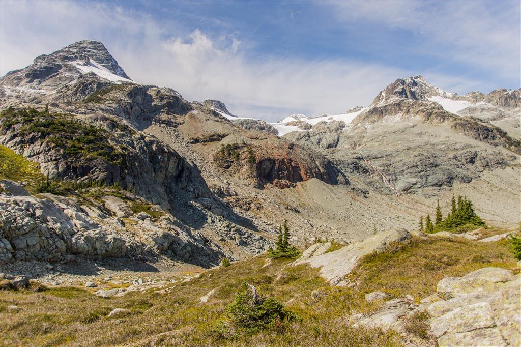
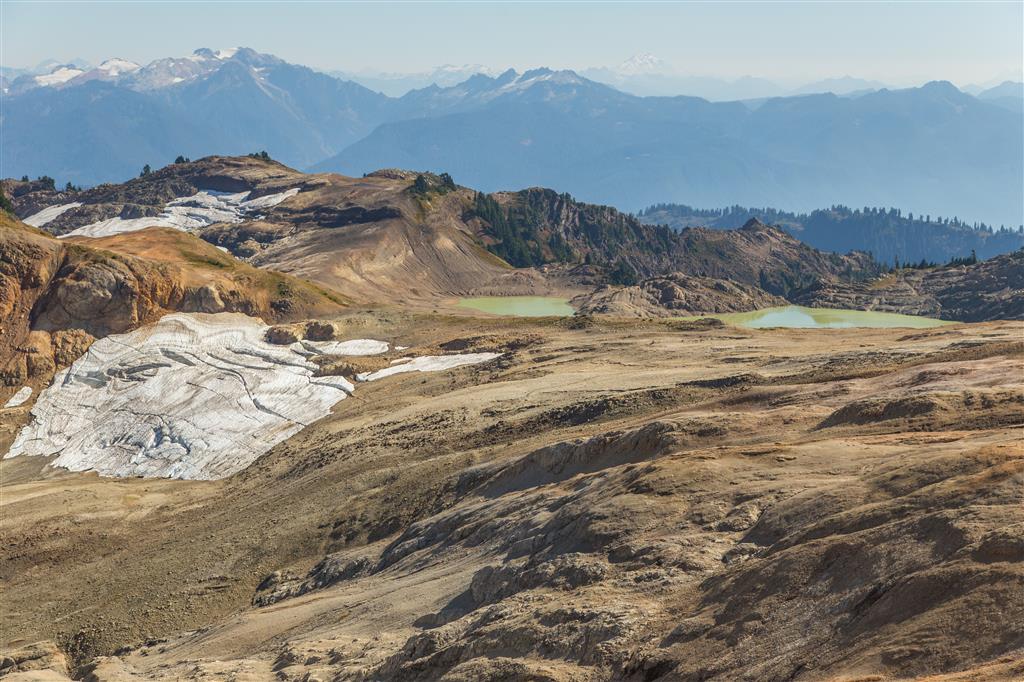
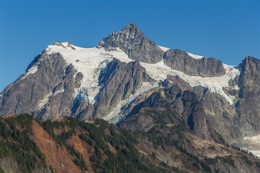
The remnant of a glacier…
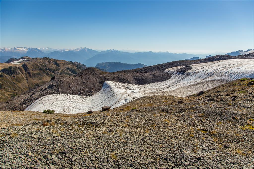
An undulating glacier…
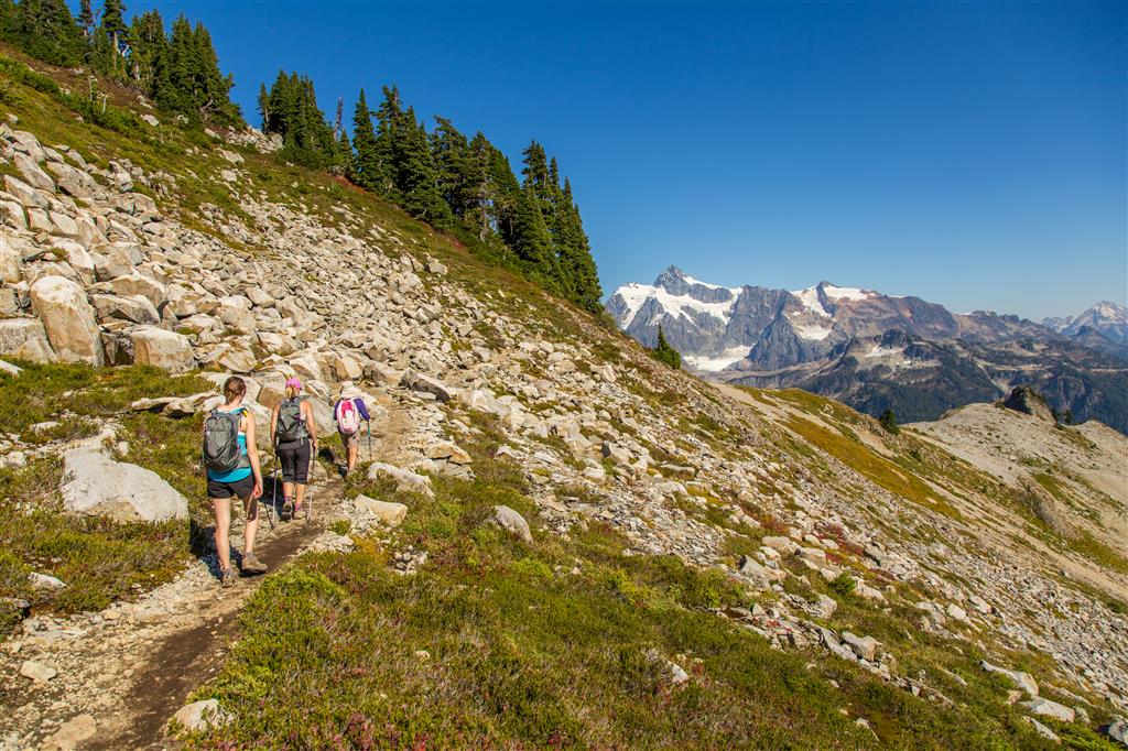
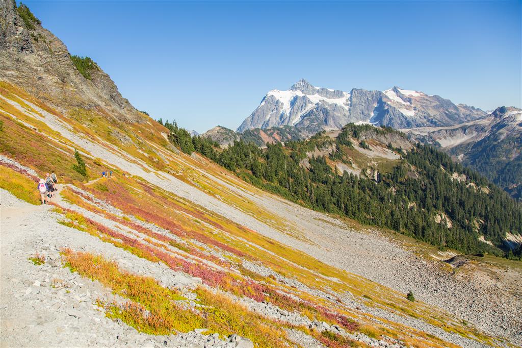
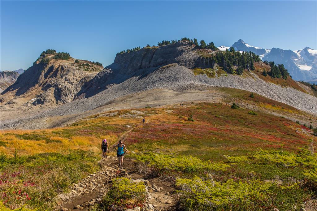
Mt. Shuksan…
Link to all Ptarmigan Ridge photos on Flickr
★★★★★★★★★★★
Before heading out on your hike, make sure you are well prepared. This means, having the TEN ESSENTIALS. It is also important to leave a trip plan (route details and estimated return time) with someone you trust.
Bring your smartphone, fully charged and put it in airplane mode while hiking. I always bring back-up battery packs for extra piece of mind. It is highly recommended that you bring a GPS device; I use my smartphone with a GPS app (Backcountry Navigator). The GPS will work in airplane mode. Learn how to use it before your hike.
For anyone new to hiking, there is a rule to which hikers follow; it is called “Leave No Trace” or LNT. The concept is generally to pack out what you pack in and respect nature, so all future visitors can enjoy what you have enjoyed.
To learn more about LNT, please check out this BLOG by a certified LNT Trainer.