Visit CSAR site for pictures.
Buntzen Lake is an active hydroelectric reservoir, and its water level can occasionally rise high enough to affect beaches, shoreline areas, and sections of trail. Most of the time the lake remains within its normal operating range, but periods of unusually high water can temporarily change access around the lake.
The photographs and video below show one particularly noticeable high-water event that I documented in April 2015. They are historical and do not represent current conditions.
During the April 2015 event, the lake rose high enough to flood several low-lying shoreline areas and sections of the trail system. Some portions of the normal lake loop became difficult or impossible to use, while higher trails remained accessible.
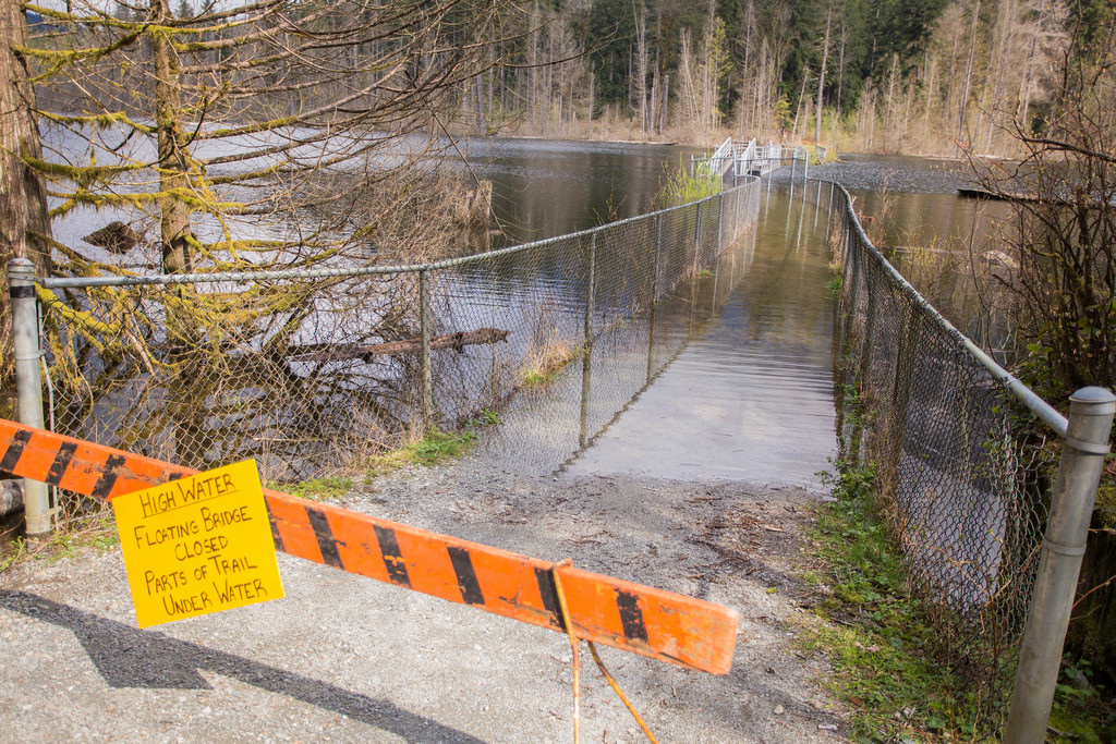
High water at Buntzen Lake in April 2015.
At the time, one alternative to the flooded portions of the regular loop was to use higher ground, including Academy Trail and Pumphouse Road. Another option was to hike the east side of the lake to North Beach and return the same way.
Those routes reflected conditions during this particular 2015 event. Trail conditions and closures can be very different during another high-water event, so current BC Hydro information and onsite signage should always take priority.
Buntzen Lake is not simply a natural recreation lake. It is part of BC Hydro’s Coquitlam-Buntzen hydroelectric system. Water can be diverted from Coquitlam Reservoir through a tunnel beneath Eagle Mountain into Buntzen Lake, and the reservoir is actively managed as part of the hydroelectric system.
Water levels and flows can therefore change in response to reservoir operations, weather, inflows, maintenance, and other operating conditions. BC Hydro warns that sudden changes in water flows can occur near operating structures and the Coquitlam Lake tunnel outfall.
The photograph below shows high water near the tunnel outfall during the April 2015 event.
This short video shows some of the flooding around Buntzen Lake and the strong flow of water entering the lake through the tunnel from the Coquitlam Reservoir system.
North Beach is normally a broad shoreline recreation area, but during this event much of the usual beach area was underwater.
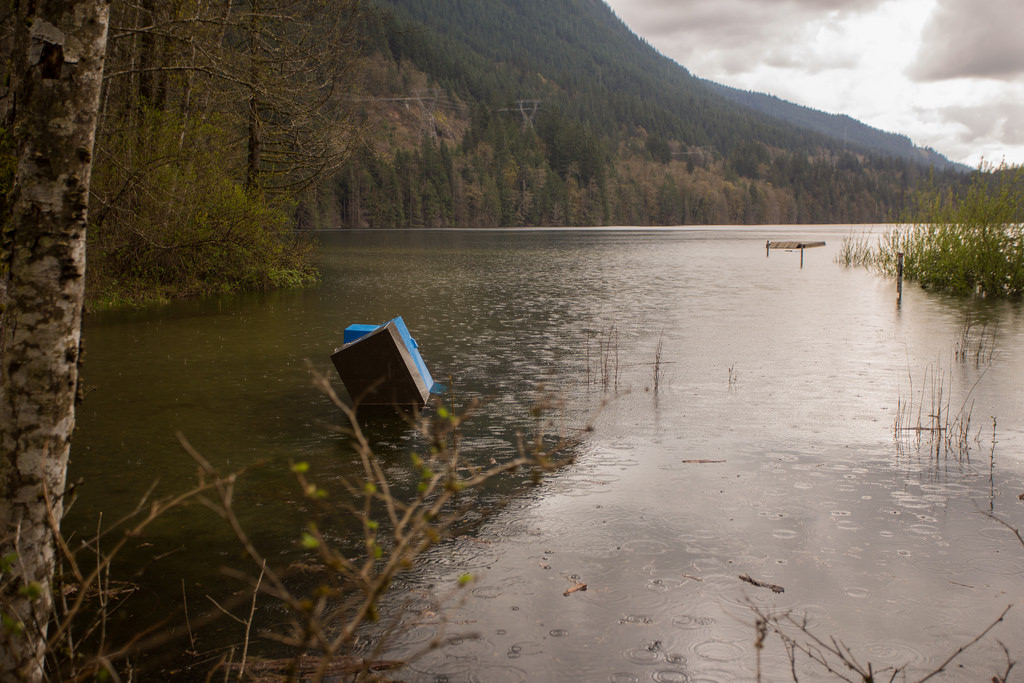
North Beach during the April 2015 high-water event.
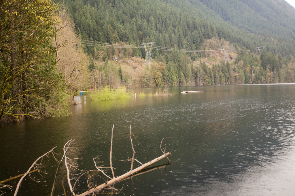
Another view of the flooded shoreline at North Beach.
South Beach was also noticeably affected. Areas that are normally dry and used for recreation were covered by lake water.
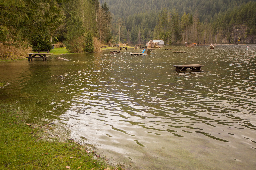
High water at South Beach in April 2015.
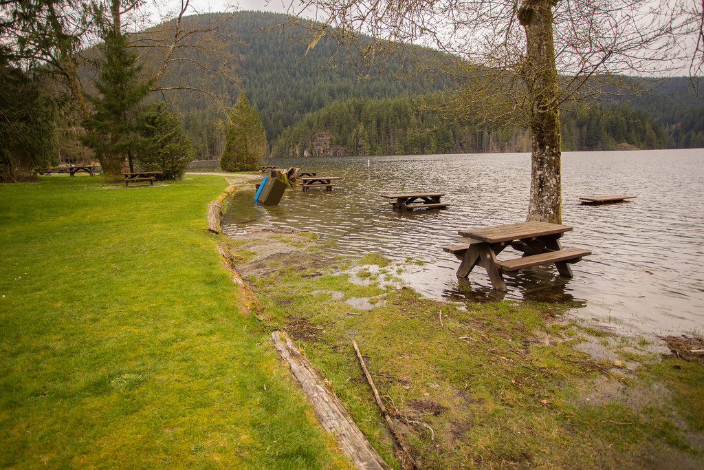
Another view of South Beach during the high-water event.
The old floating bridge area near the south end of Buntzen Lake was another location where the unusually high water was obvious.
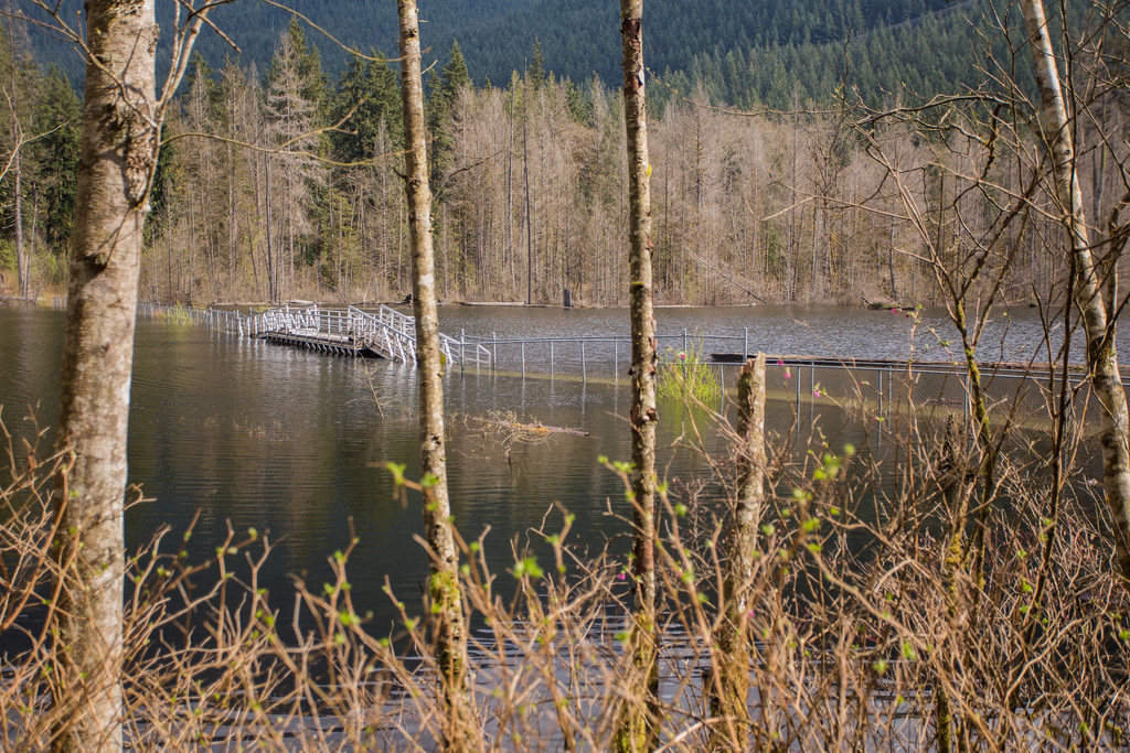
The former floating bridge area during the April 2015 high-water event.
Periods of high water can affect low-lying sections of trail, beaches, and shoreline access. The extent of the impact depends on the lake level and the specific conditions at the time.
Do not assume that a detour used during a previous event will still be appropriate. Trail closures, maintenance work, rockslides, flooding, and other hazards can all change the available routes.
Before heading out, check the current BC Hydro trail closures and safety information. Onsite signs and closures should always be followed.
This post is for Eagle Bluff viewpoint hike near Buntzen Lake.
For the Eagle Bluffs hike at Cypress Provincial Park, please go HERE.
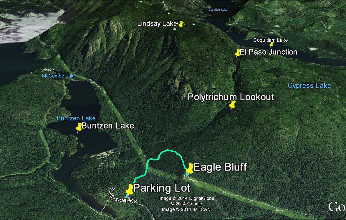
Today was a weird day. I had no intention of hiking in the morning and by the early afternoon I was getting the itch. I then figured I would do the Lakeview Trail. After I had a venti iced mocha, I decided to hike to Polytrichum Lookout. But on the way up I saw a small sign for a turnoff to ‘Eagle Bluff’, which I have never been. So I detoured off the main Halvor Lunden trail on my way to Eagle Bluff.
The route…
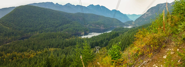
Below are two views from the Eagle Bluff…

Today’s stats were:
Return distance: 5 km
Elevation gain: 250 m
So, as you can see it isn’t a strenuous hike by any means, but the views are decent.
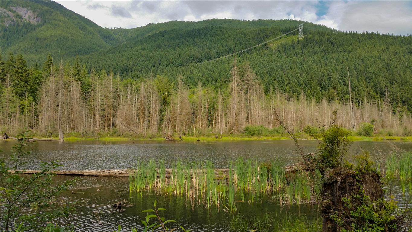
Here is a view of the bluff taken from the east end of the Buntzen Lake Floating Bridge…
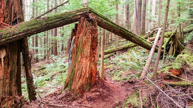
Below are some trail photos…
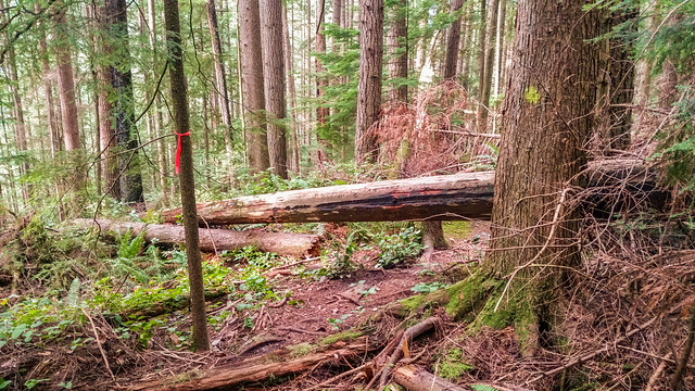
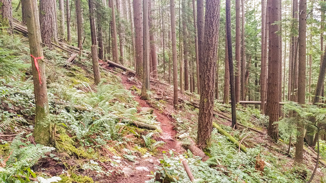
At the viewpoint I saw a old logging relic…

And here’s the high point on the bluff…
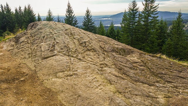
Before heading out on your hike, make sure you are well prepared. This means, having the TEN ESSENTIALS. It is also important to leave a trip plan (route details and estimated return time) with someone you trust.
Bring your smartphone, fully charged and put it in airplane mode while hiking. I always bring back-up battery packs for extra piece of mind. It is highly recommended that you bring a GPS device; I use my smartphone with a GPS app (Backcountry Navigator). The GPS will work in airplane mode. Learn how to use it before your hike.
For anyone new to hiking, there is a rule to which hikers follow; it is called “Leave No Trace” or LNT. The concept is generally to pack out what you pack in and respect nature, so all future visitors can enjoy what you have enjoyed.
To learn more about LNT, please check out this BLOG by a certified LNT Trainer.
I haven’t done the Lakeview Trail in a few months and I don’t know why !! Today was an incredible day – 28 September 2014 – Temp in the low 20’s and a sunny sky. The colours of Autumn are showing on the trees.
Oh yeah, today was also the 5 Peaks event at Buntzen Lake with the 2 premier events being the Buntzen Lake Loop and Diez Vistas. The Buntzen Lake winner’s time was 48:56 by Dave Cressman, while the Diez Vistas time was 1:27:46 by Herman Alagao.
Anyways, getting back to today’s Lakeview Trail… The first photo is a great view from early on in the trail, where the trail crosses the hydro right-of-way…

The next photo is a traverse through the hydro right-of-way…

Here’s a small waterfall at Valentine Creek…

And here is the view from the north viewpoint…

Here’s another view from the north viewpoint showing the twin peaks and Swan Falls. The falls were sure roaring today…

Finally, here’s a photo of the 5 Peaks awards ceremony wrapping up…
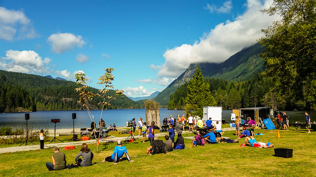
Before heading out on your hike, make sure you are well prepared. This means, having the TEN ESSENTIALS. It is also important to leave a trip plan (route details and estimated return time) with someone you trust.
Bring your smartphone, fully charged and put it in airplane mode while hiking. I always bring back-up battery packs for extra piece of mind. It is highly recommended that you bring a GPS device; I use my smartphone with a GPS app (Backcountry Navigator). The GPS will work in airplane mode. Learn how to use it before your hike.
For anyone new to hiking, there is a rule to which hikers follow; it is called “Leave No Trace” or LNT. The concept is generally to pack out what you pack in and respect nature, so all future visitors can enjoy what you have enjoyed.
To learn more about LNT, please check out this BLOG by a certified LNT Trainer.