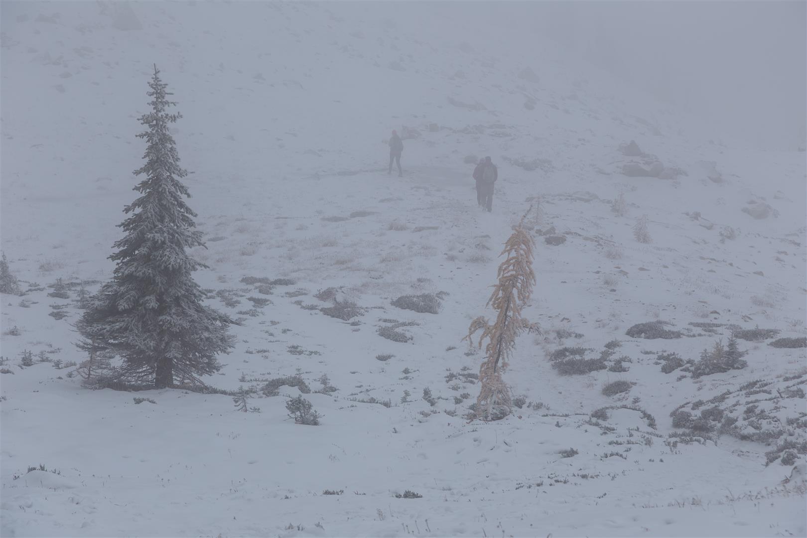
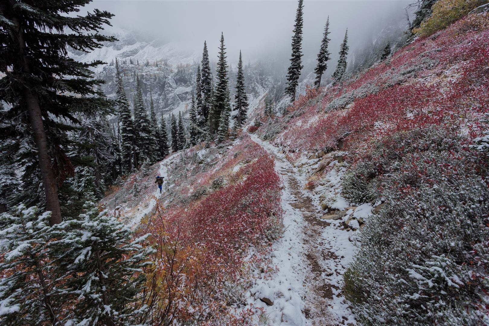
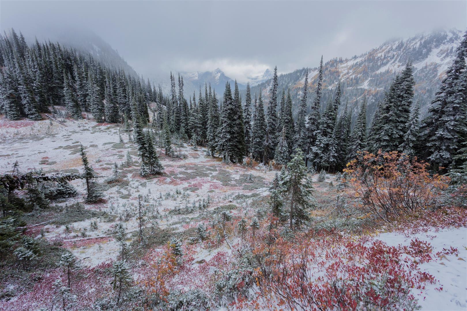
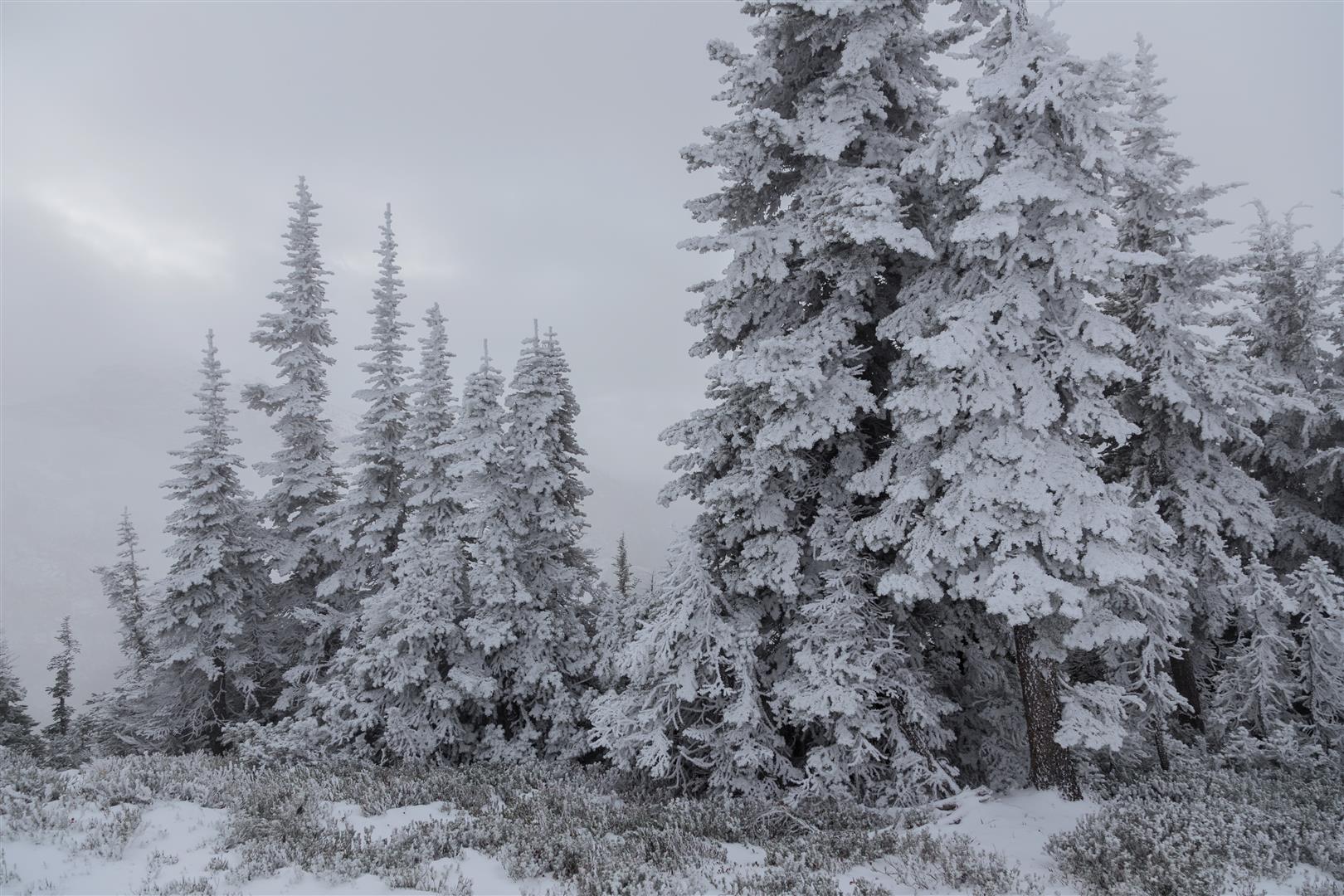
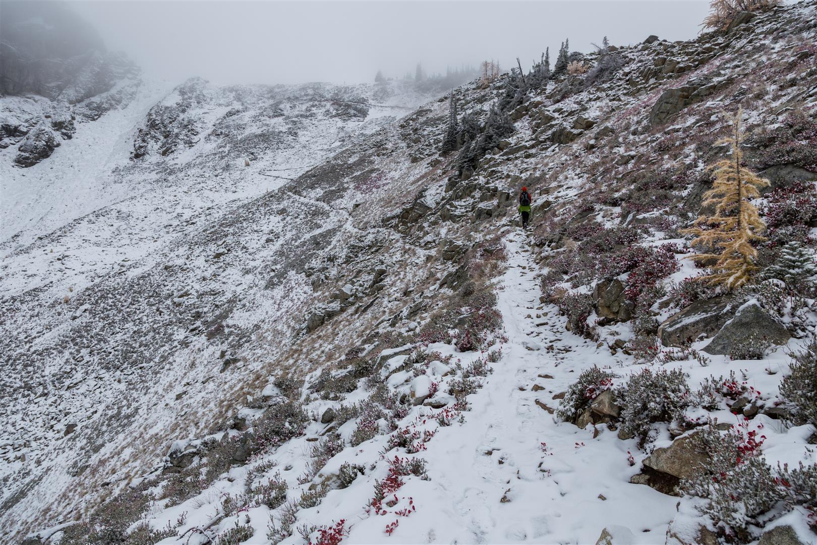
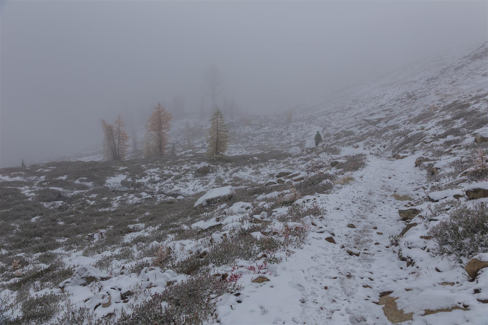
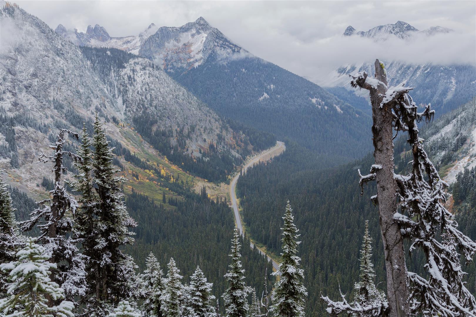
Back to the North Cascades for an epic day hike. The Heather–Maple Pass Loop is a gem of a hike that starts around 1,500 m elevation (4,900 ft) and goes up to 2,120 m (6,950 ft). The forecast for today was sunny; however, we did not see the sun at all and saw blue sky only briefly. It was freezing and snowing lightly all day, and most of our views were obstructed. But thankfully, not all views were obstructed, and we did get quite a treat. The views we did have were just amazing, and the fresh snow made it really feel like a winter wonderland! I will definitely have to go back in the summer to do this hike on a sunny day. We also included the trip to Lake Ann at the end — this is a fairly flat section of about 1 km each way.
Interesting Facts
- Maple Pass sits right on the boundary of North Cascades National Park, with a large wooden sign marking the line
- The loop crosses the traditional homeland of the Chelan, Okanogan, and Nlaka’pamux peoples
- The golden trees you see turning colour in the fall are alpine larches (Larix lyallii), one of the few conifers that are deciduous, dropping their needles every year after they turn gold. They only grow at high elevations in a narrow band of the Pacific Northwest and northern Rockies, which is part of why this hike is so popular in autumn
Permits & Border Crossing
Or you can buy an ePass in advance online at the Discover Your Northwest website.
Or you can leave money in an envelope (by the big info sign) at the Rainy Lake parking lot.
Border crossing tips: bring your passport, Nexus, or enhanced ID. No fruit, no vegetables, no meat (this isn’t a complete list). Trail mix is okay. There are stores in Sedro-Woolley if you want to get some fruit or a sandwich for your hike.
A great resource for current conditions for this hike is the WTA website. Check it out!
The hike starts at the Rainy Pass trailhead, off Highway 20 (see location of trailhead below).
Trail Stats
The stats below include the trip to Lake Ann at the end.
- Distance: 12.7 km
- Time: 4.5 hours
- Low point: 1,482 m
- High point: 2,120 m
- Elevation gain: 638 m
- Cumulative elevation gain: 885 m
- Trailhead: 48° 30′ 54.6″ N, 120° 44′ 09″ W (Google Map)
The Route
The actual GPS track from this hike, drawn on the map below. Green marks the start/end point.
Photos
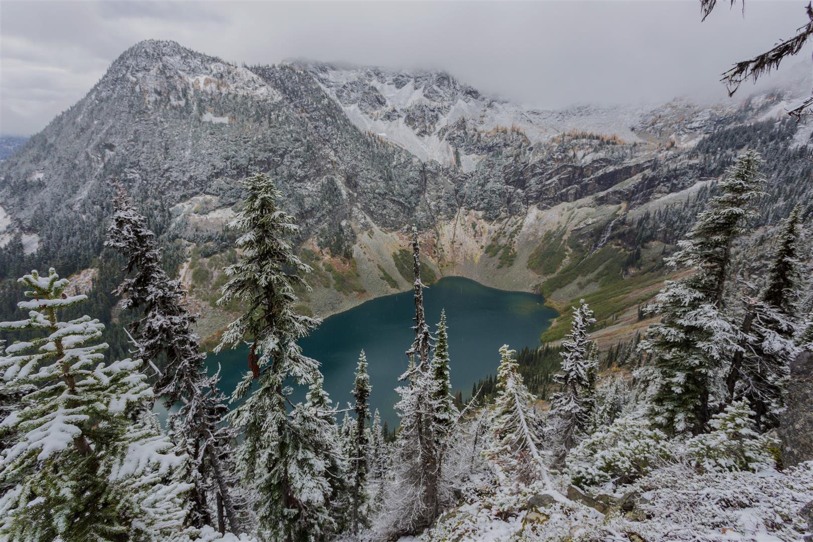
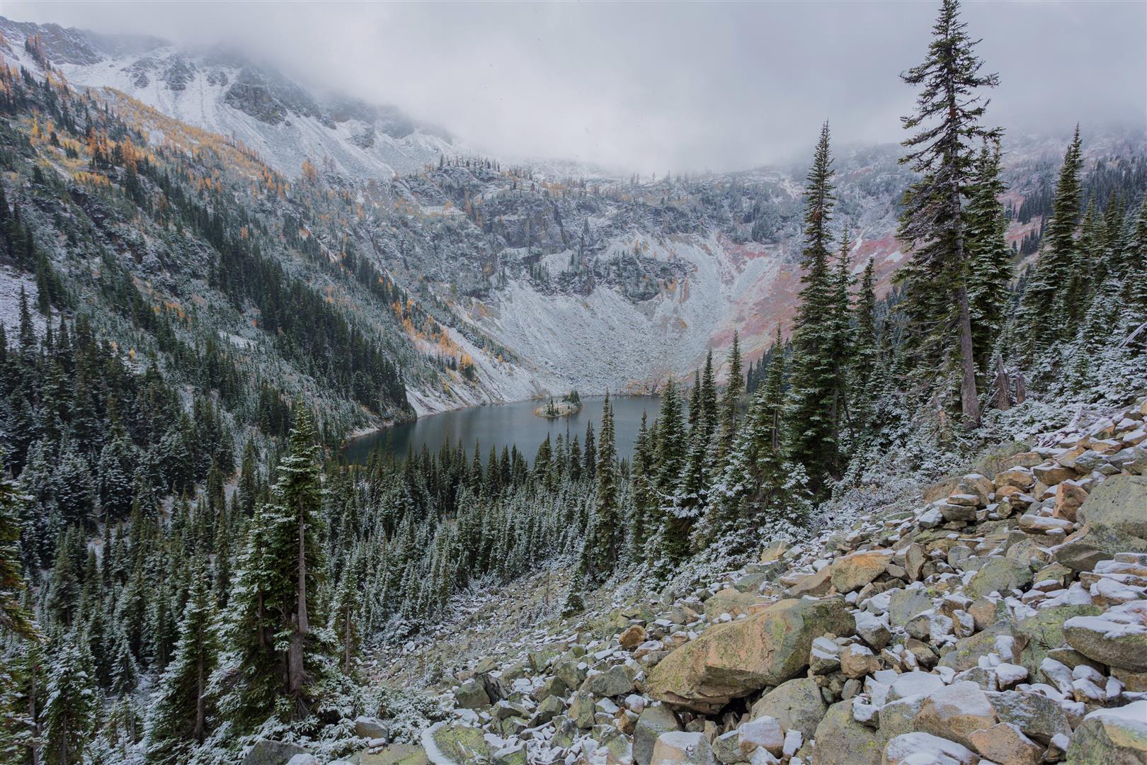
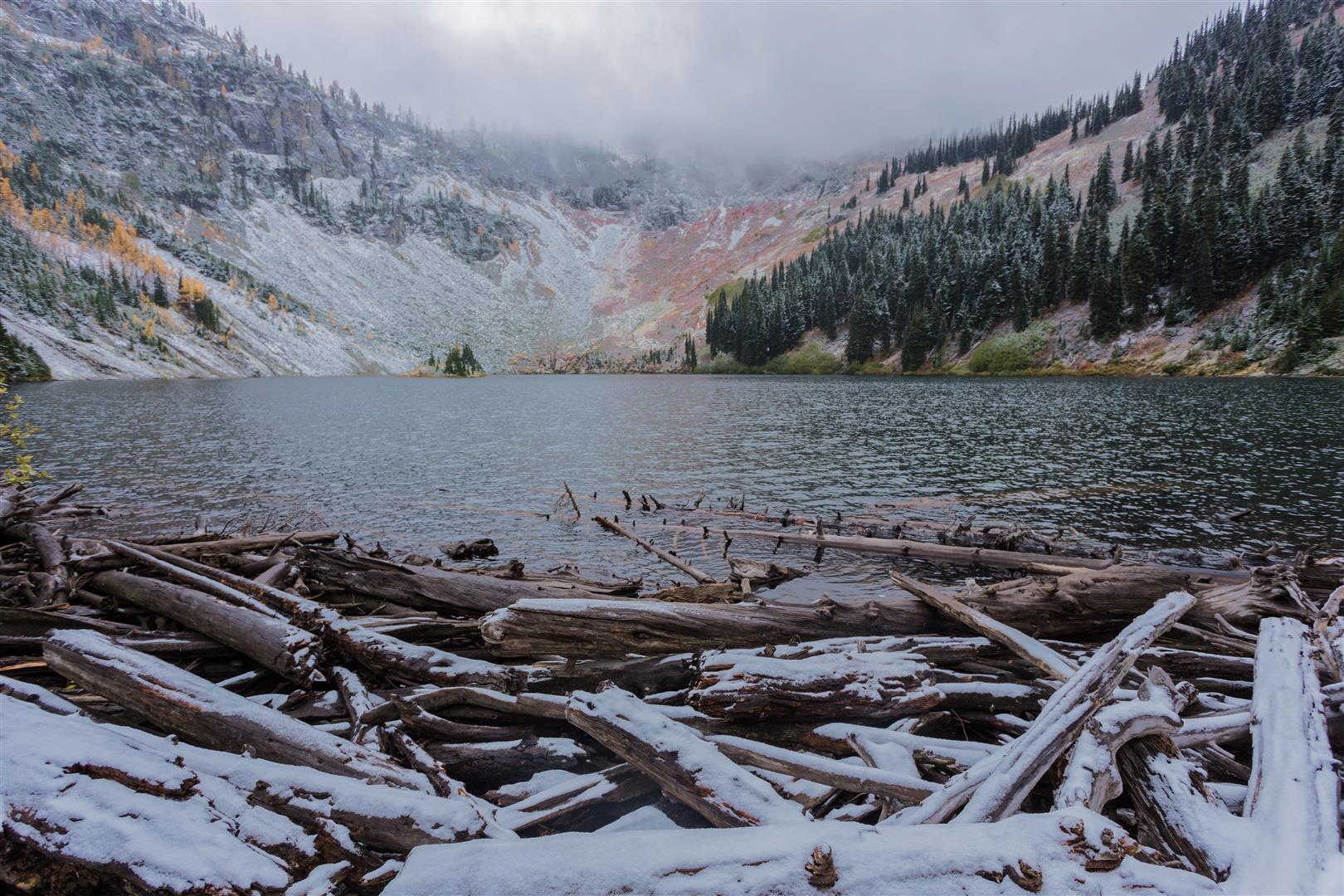
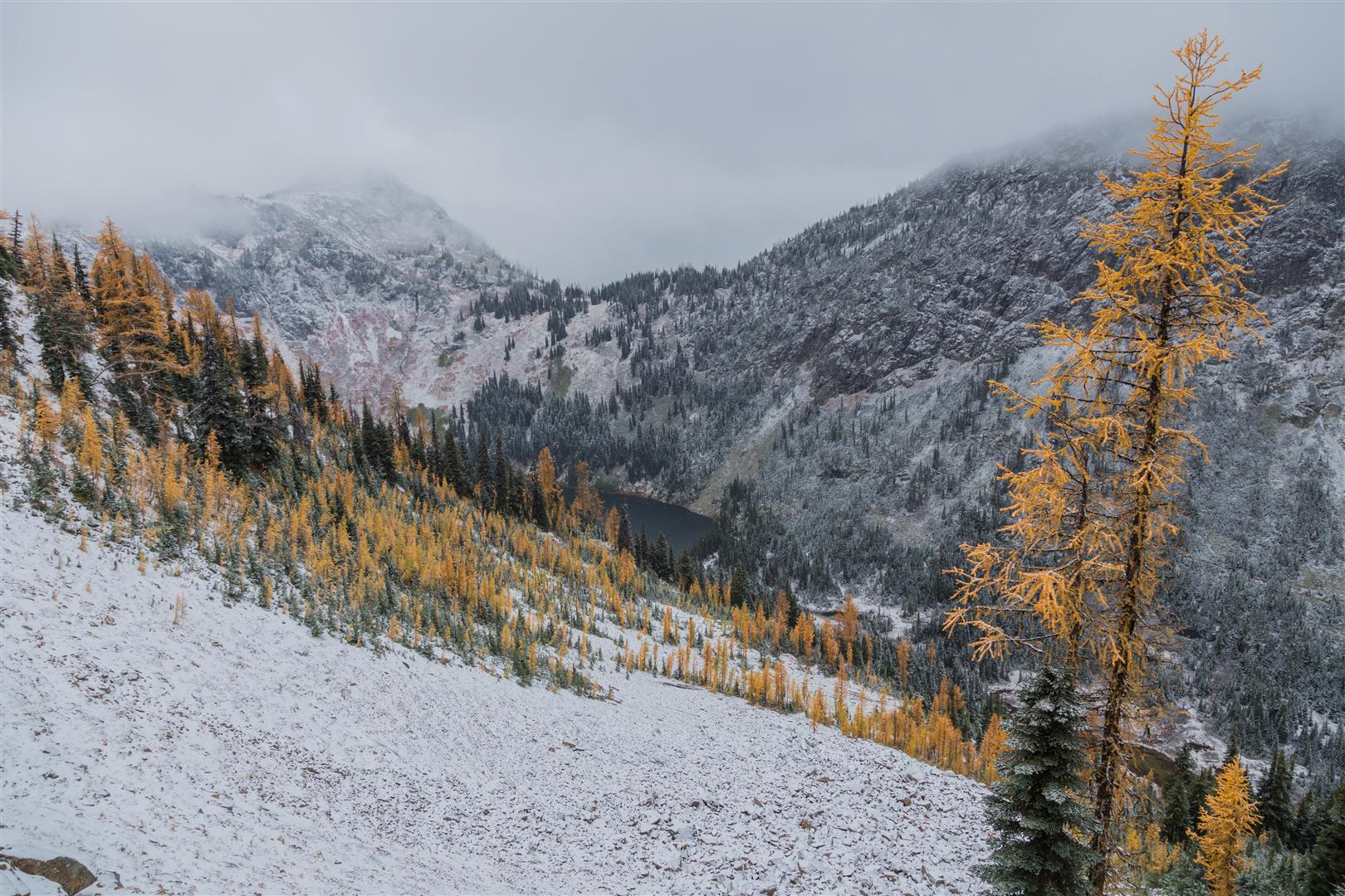


Link to all Heather – Maple Pass photos on Flickr
Before You Hike
Before heading out on your hike, make sure you are well prepared. This means having the TEN ESSENTIALS. It is also important to leave a trip plan (route details and estimated return time) with someone you trust.
Bring your smartphone, fully charged, and put it in airplane mode while hiking. I always bring backup battery packs for extra peace of mind. It is highly recommended that you bring a GPS device. I use my smartphone with a GPS app (Backcountry Navigator). The GPS will work in airplane mode. Learn how to use it before your hike.
For anyone new to hiking, there is a rule that hikers follow called “Leave No Trace” or LNT. The concept is generally to pack out what you pack in and respect nature, so all future visitors can enjoy what you have enjoyed. To learn more about LNT, please check out this blog by a certified LNT Trainer.