Category Archives: Fraser Valley & Beyond

Mt. Thom


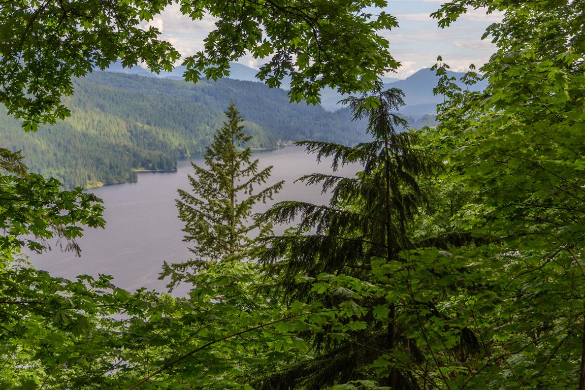
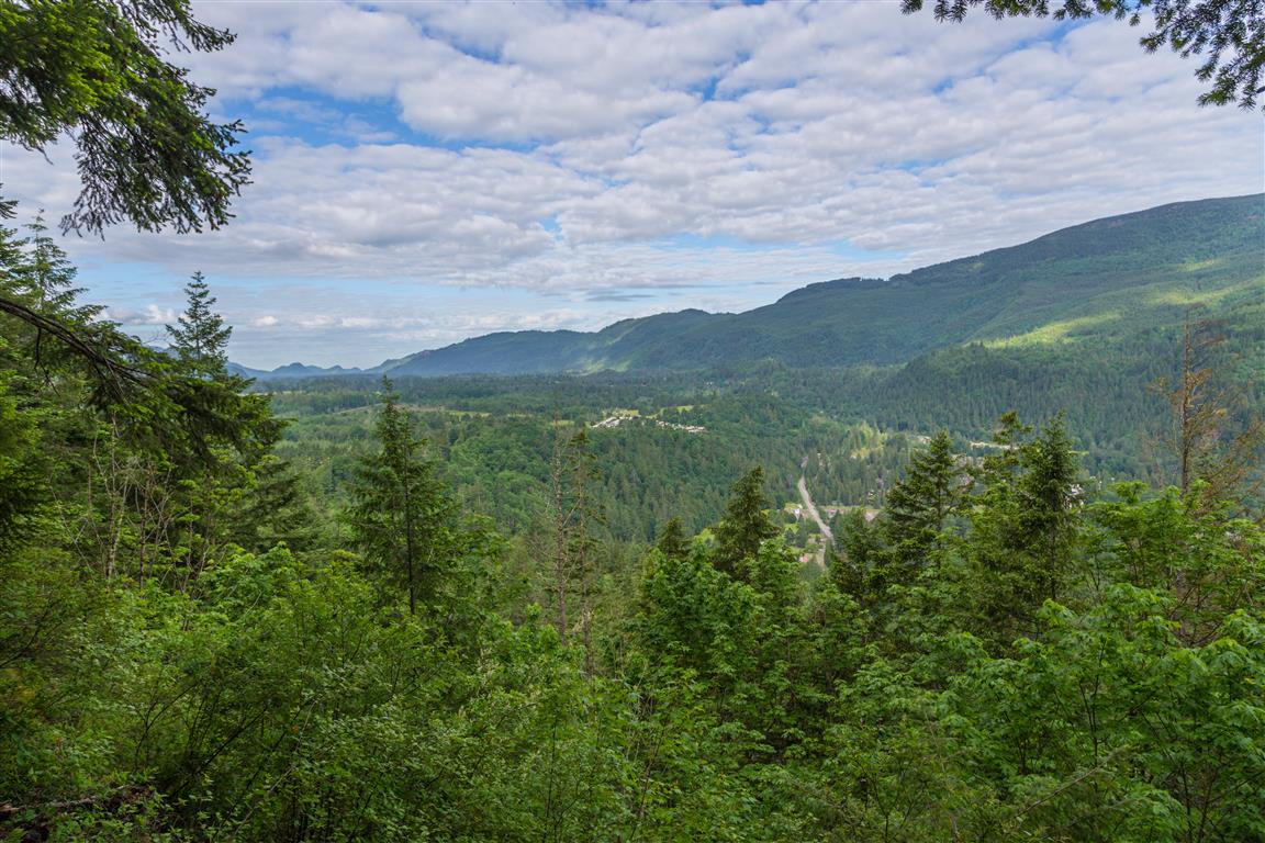
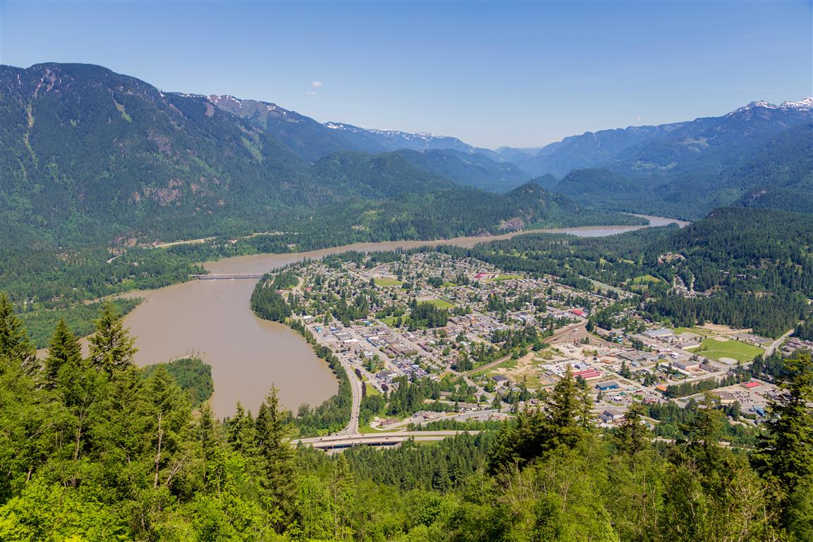
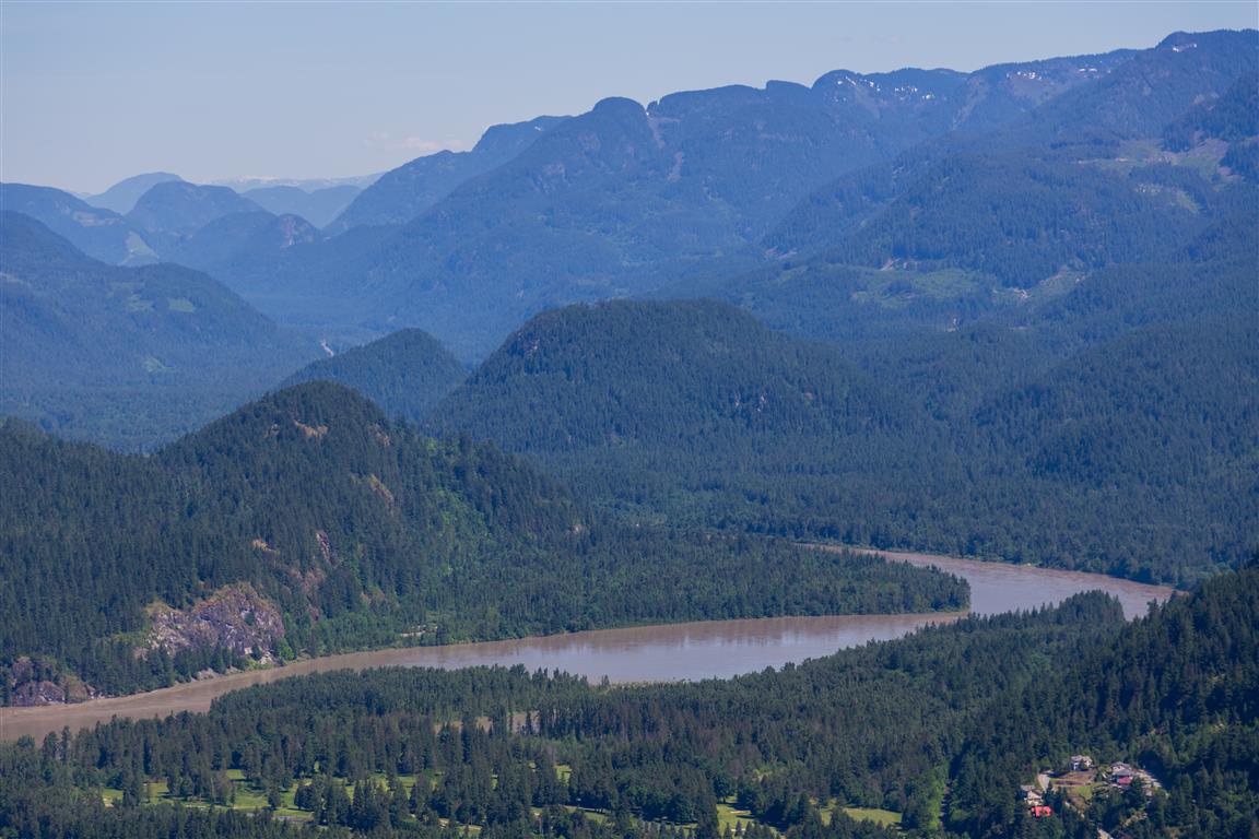
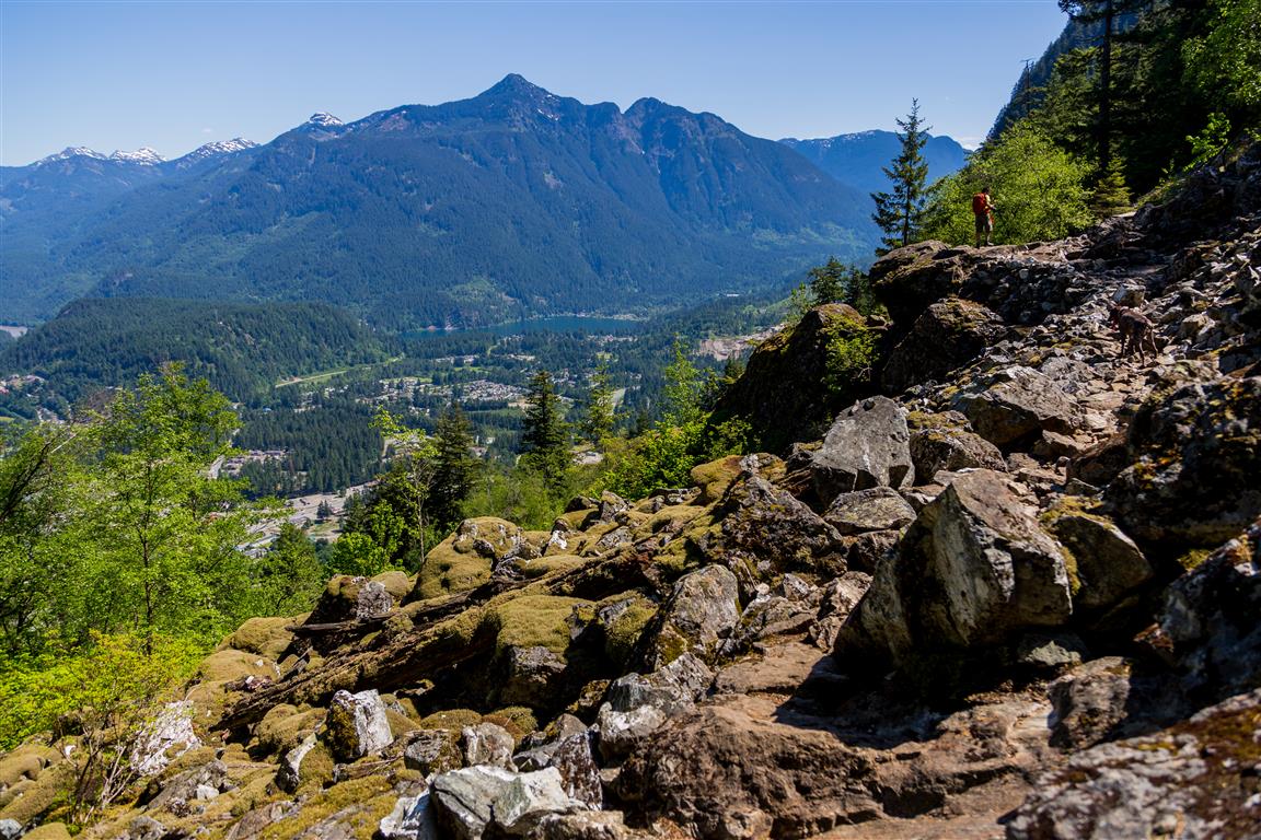
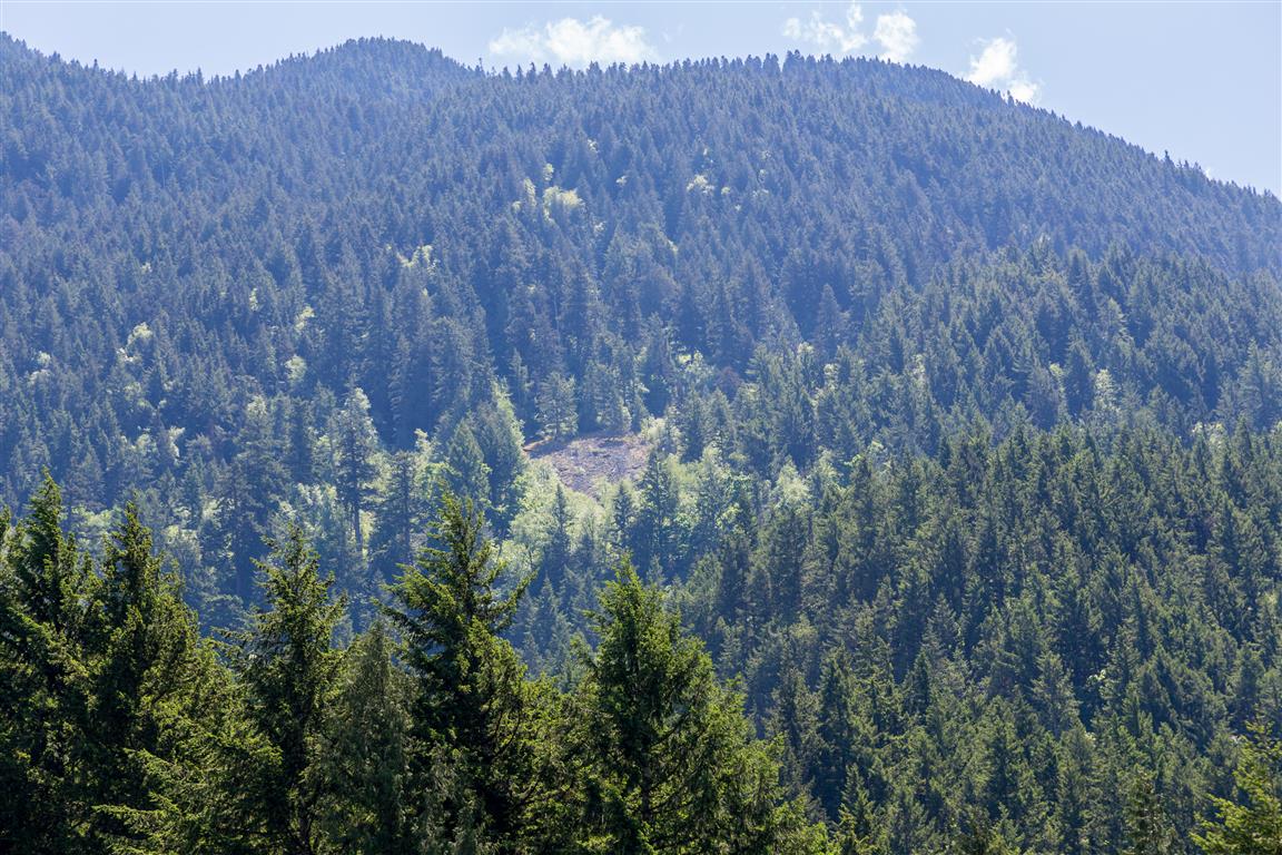
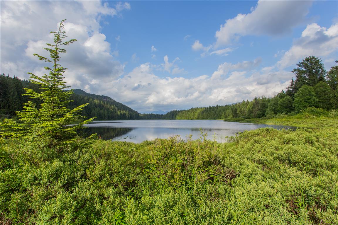
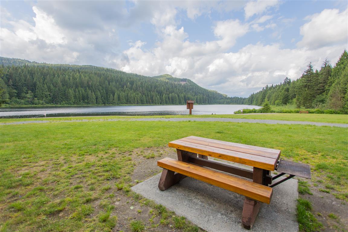
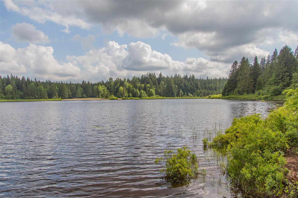
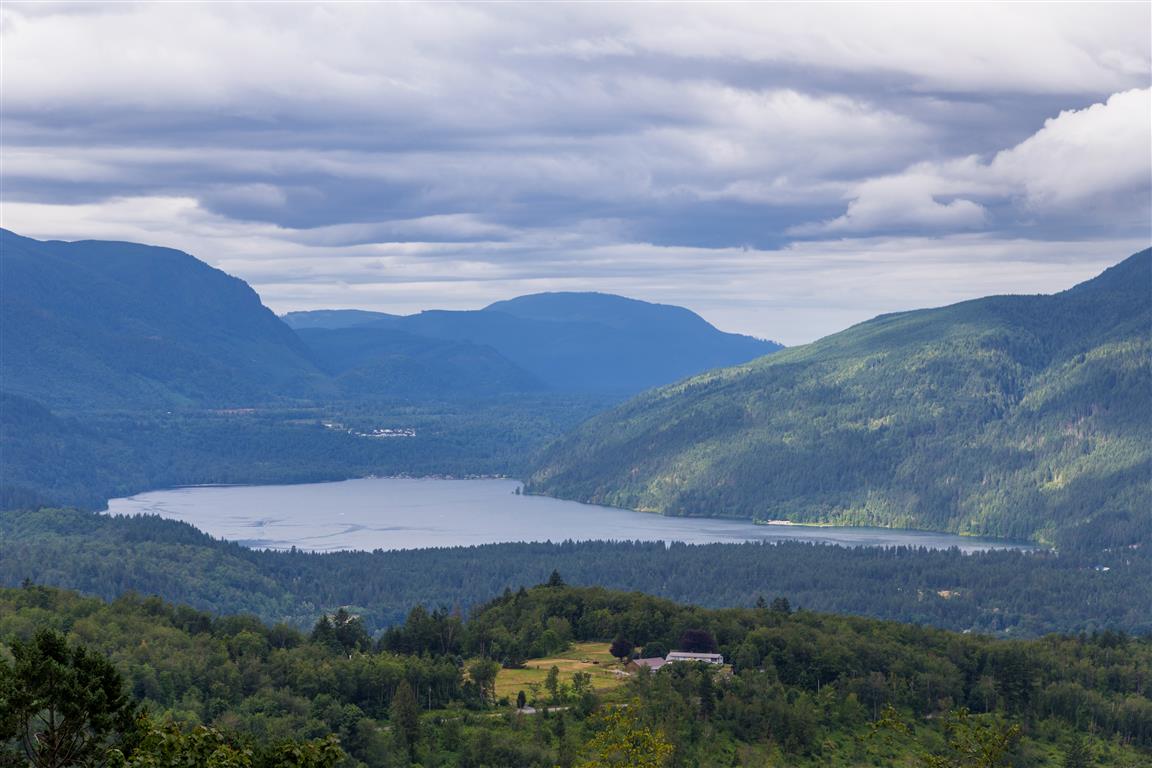
Mt. Thom is located in the foothill mountains of South Chilliwack. From the top, there are amazing views of the Fraser Valley, including Cultas Lake. There are a few different starting points for this hike, but today, I choose to start from Sylvan Drive (see location below). You can park on the side of the road.

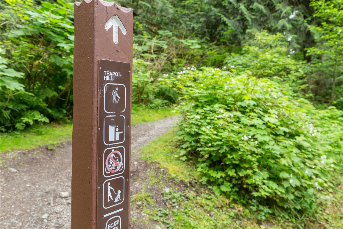
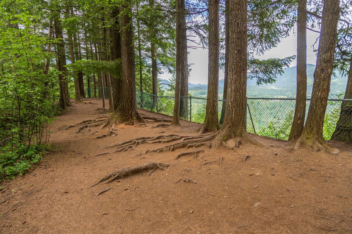
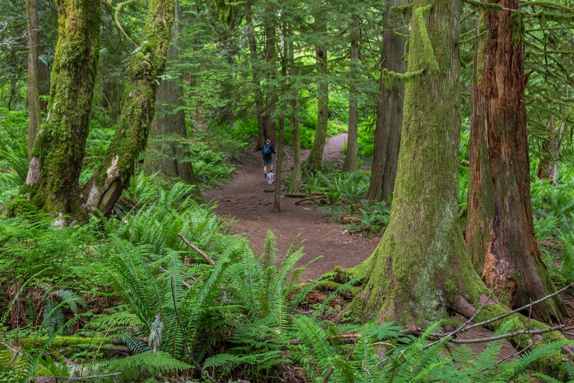
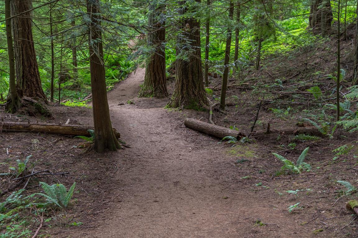
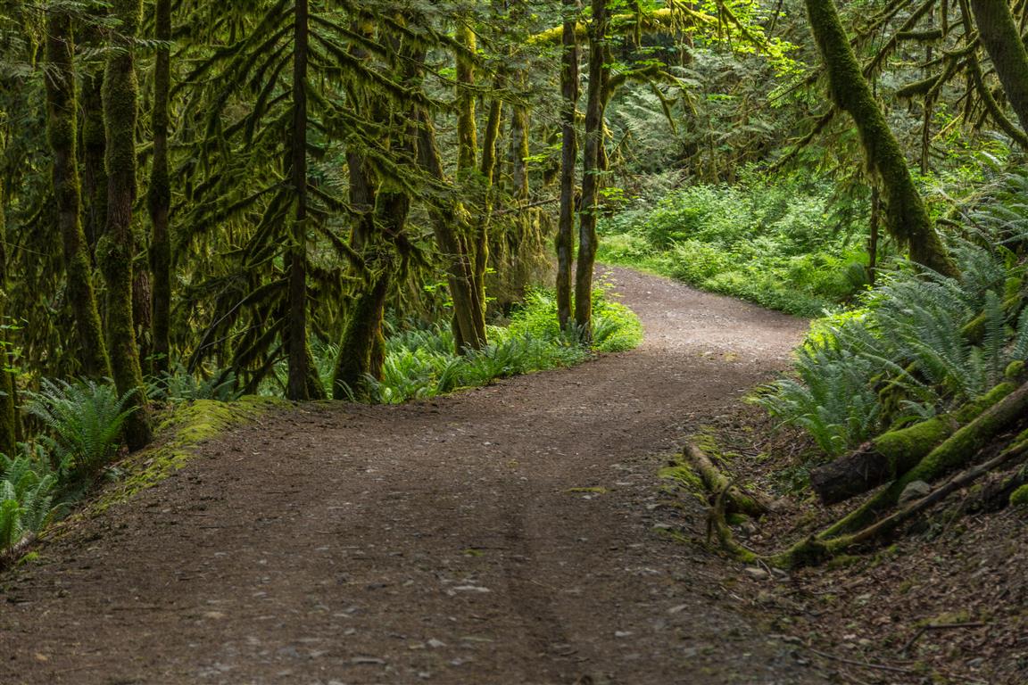
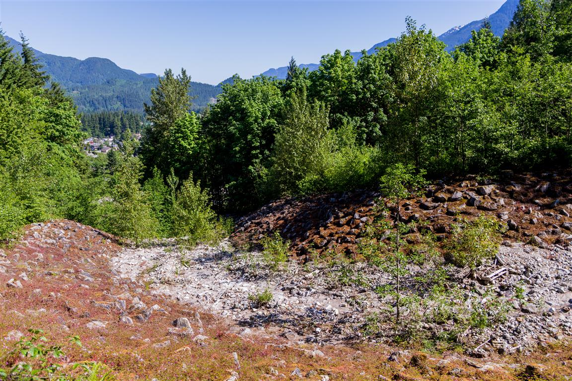
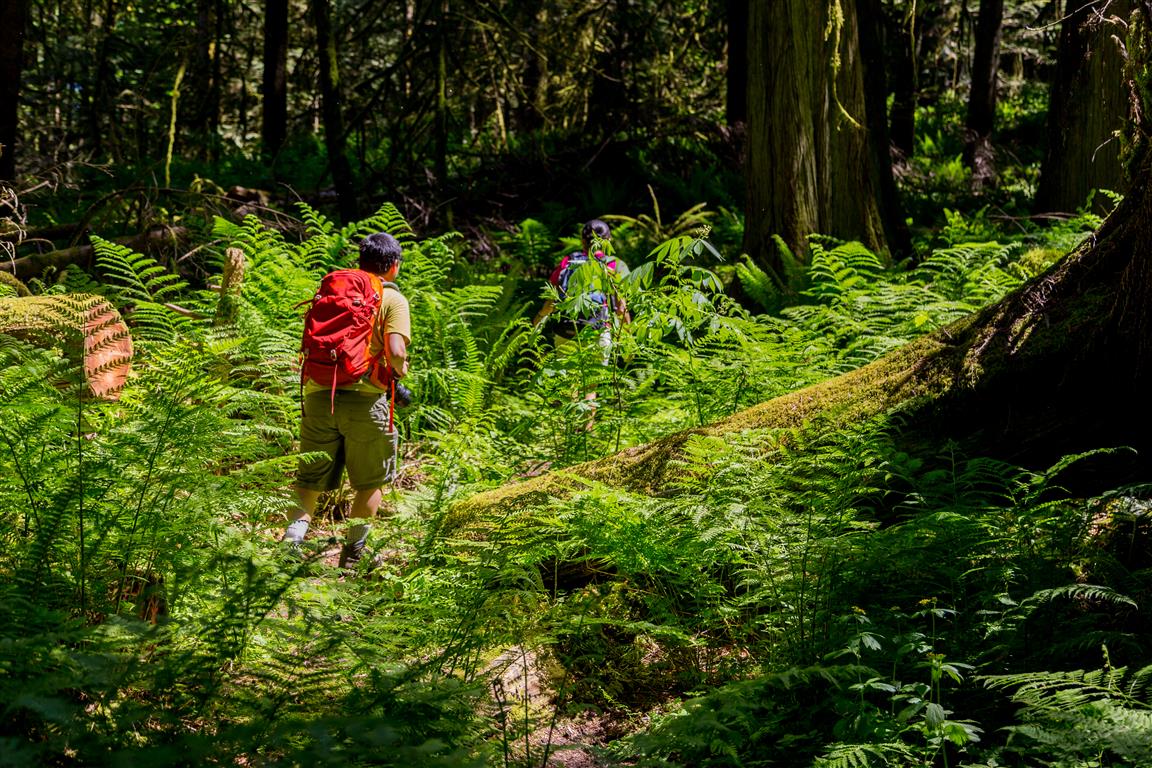
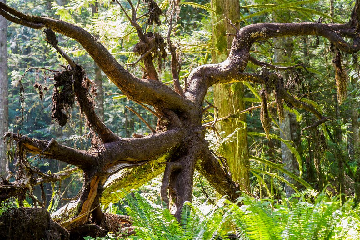
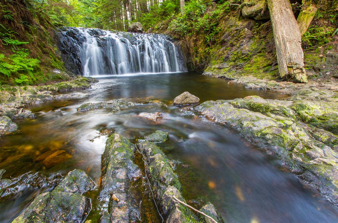
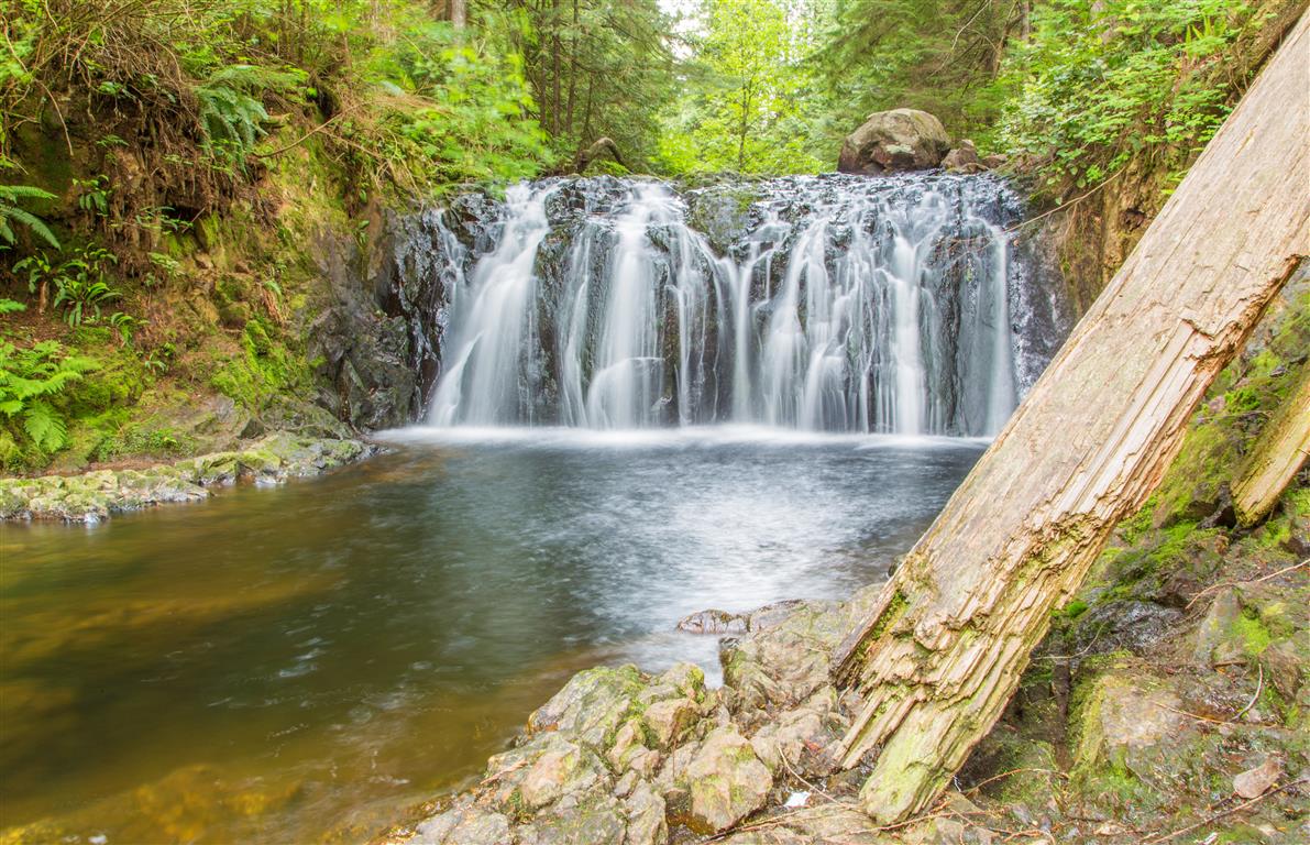
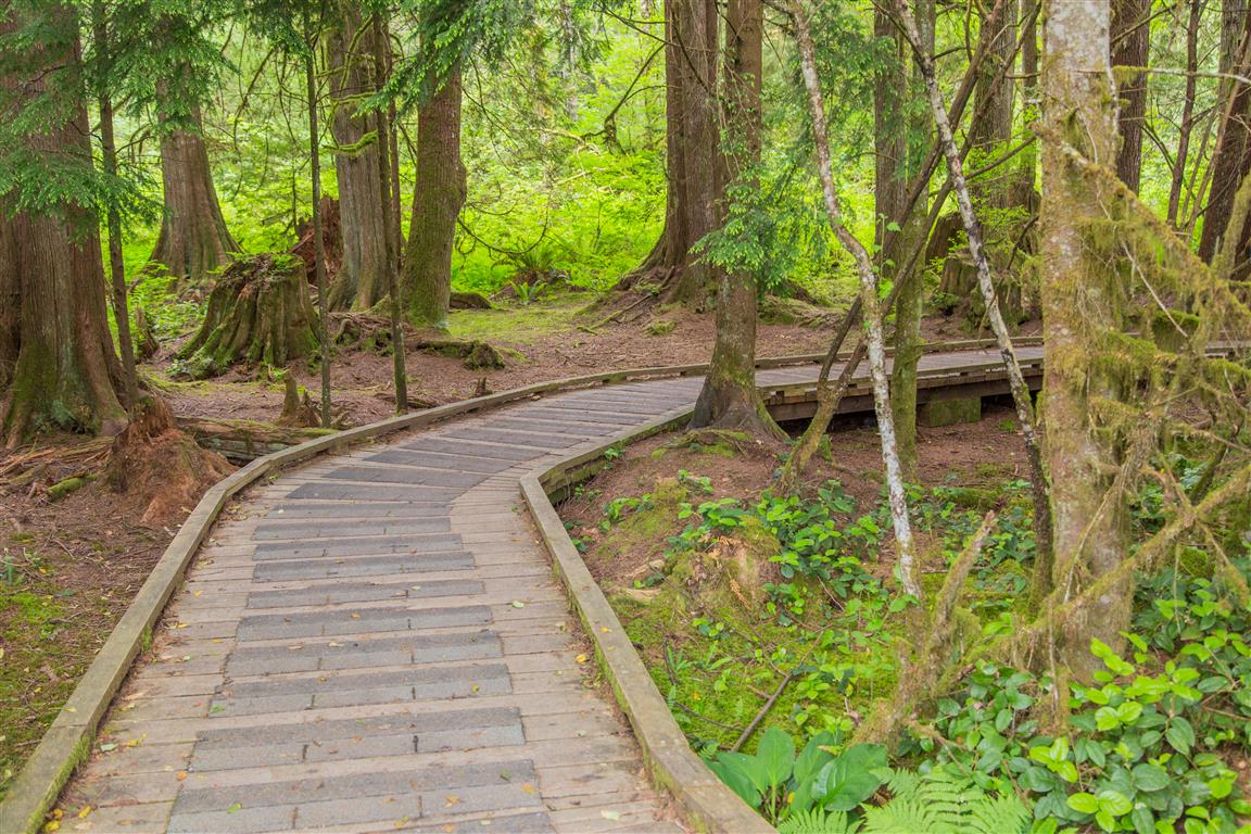
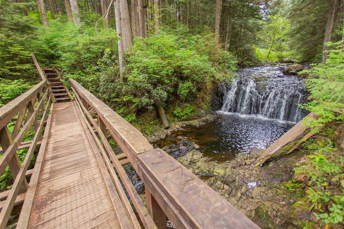
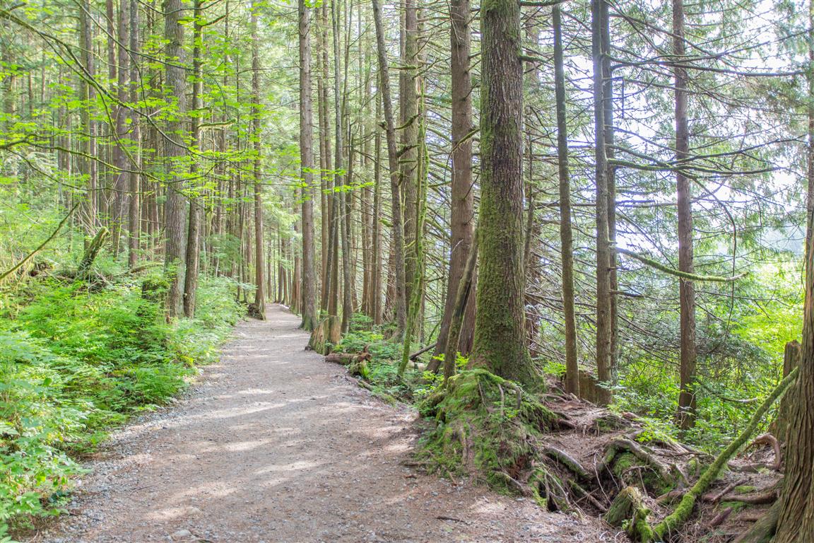
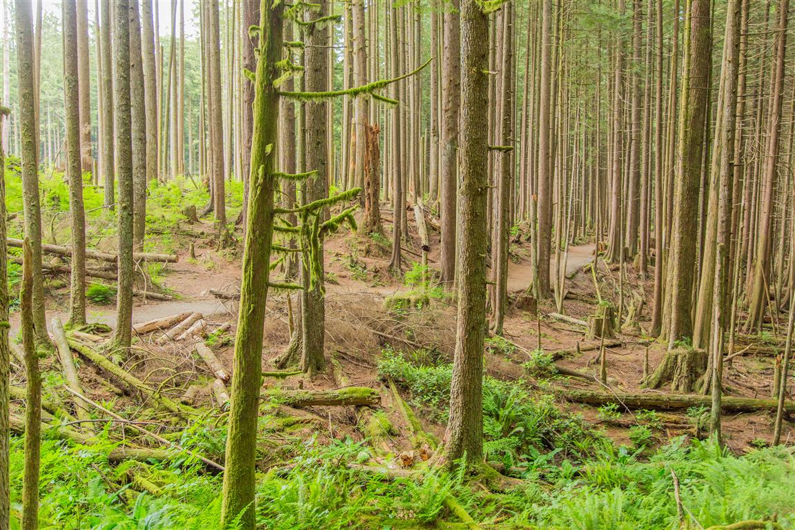
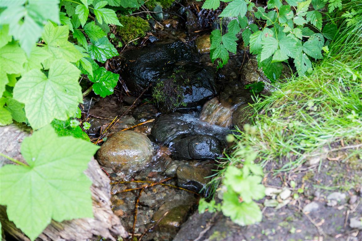
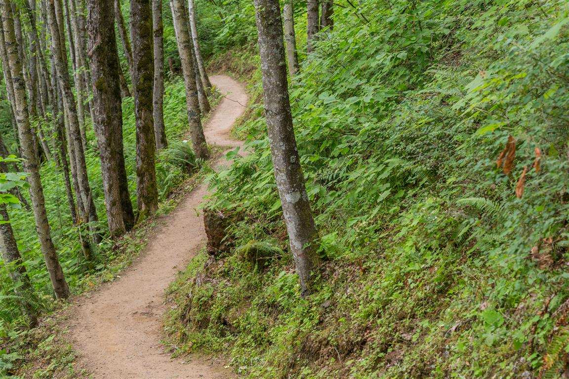
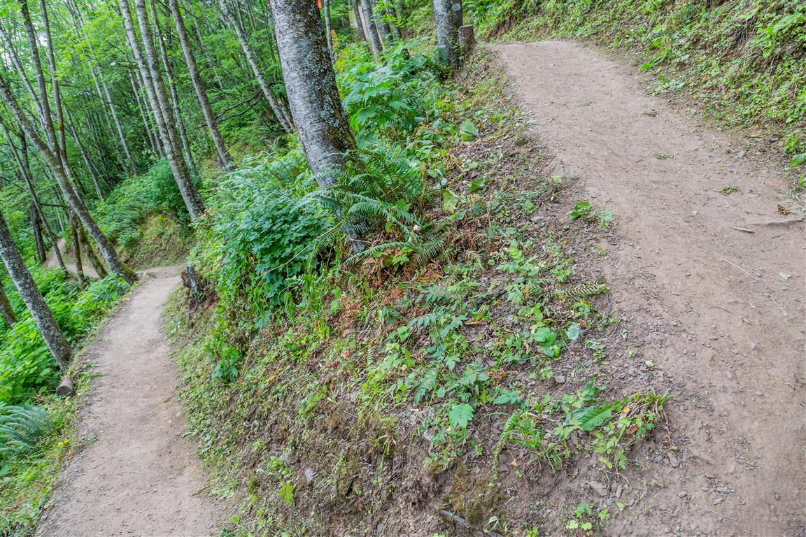
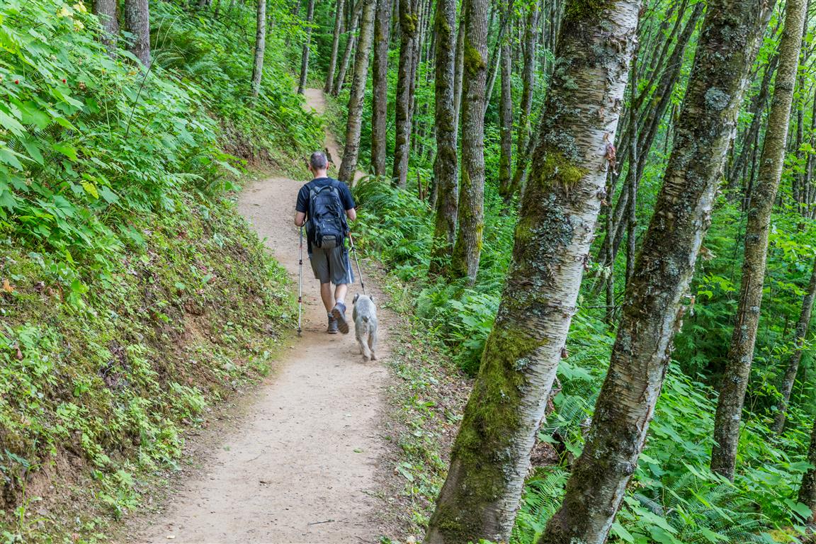
At the base of the trail on Sylvan Drive, Mt. Thom Creek can be heard (and seen), as you head up a number of stairs. Once off the stairs, the trail is well established and easy to follow. There are a number of junctions, but they are marked – just follow signs to Mt. Thom summit.

For directions, click on Trailhead and parking below.

Distance: 6.3 km
Time: 1-4 hours
Low point: 213 m
High point: 476 m
Elevation gain: 263 m
Cumulative Elevation gain: 375 m
Trailhead and parking: 49° 06’ 16” by 121° 55’ 10.5” (Google Maps and navigation)

The route with downloadable gpx…

The Photos…

View from the top
View from the top


View from the top
View from the top 2


View from the top through flowers


Cultas Lake
Cultas Lake


Lower view
Lower view


Thimbleberries were plentiful


Thom Creek
Thom Creek


Trail
Trail


Switchback
Switchback


Trail
Trail


★★★★★★★★★★★

Before heading out on your hike, make sure you are well prepared. This means, having the TEN ESSENTIALS. It is also important to leave a trip plan (route details and estimated return time) with someone you trust.

Bring your smartphone, fully charged and put it in airplane mode while hiking. I always bring back-up battery packs for extra piece of mind. It is highly recommended that you bring a GPS device; I use my smartphone with a GPS app (Backcountry Navigator). The GPS will work in airplane mode. Learn how to use it before your hike.

For anyone new to hiking, there is a rule to which hikers follow; it is called “Leave No Trace” or LNT. The concept is generally to pack out what you pack in and respect nature, so all future visitors can enjoy what you have enjoyed.

To learn more about LNT, please check out this BLOG by a certified LNT Trainer.

★★★★★★★★★★★

Teapot Hill


Teapot Hill is in Cultas Lake Provincial Park in south Chilliwack.  Cultas Lake is a very popular camping location in the summer where thousands of people flock every year.

Teapot Hill trail starts on the south shore of the lake and there is a small parking lot designated for teapot hill hikers. I would assume this parking lot fills up fast. On the morning we went, there were only a couple of other cars at 7:45am when we started.

The hike follows a wide trail (road?) for quite a distance before it gets narrower, more like a real hiking trail. Along the way up to the top, you will see many teapots and some tea cups hidden in the trees and bushes. You will also pass a stream alongside the wide trail section. After 2.5 km of hiking, you will reach the top. There are a couple of viewing locations on the trail, where you can see glimpses of Cultas Lake (mostly obscured by trees) and the Columbia Valley and hills to the west.

The stats…

Distance: 5 km
Time: 2 hours, but will vary on greatly from individual to individual
Low point: 70 m
High point: 322 m
Elevation gain: 250 m
Trailhead and parking: 49° 02’ 33.4” by 121° 59’ 2.2” (Google Map – click to open Google Maps and navigation on your smartphone)

Here is the route (with downloadable gps)…

The Photos…

Cultas Lake
Cultas Lake
View of Mountains to the west
View of Columbia Valley and hills to the west
Sign
Sign at trailhead
Stream
Stream
Teapot
A hidden teapot
Top viewpoint
Viewpoint area
Trail 2
Trail
Trail 3
Trail
Trail 4
Trail

★★★★★★★★★★★

Before heading out on your hike, make sure you are well prepared. This means, having the TEN ESSENTIALS. It is also important to leave a trip plan (route details and estimated return time) with someone you trust.

Bring your smartphone, fully charged and put it in airplane mode while hiking. I always bring back-up battery packs for extra piece of mind. It is highly recommended that you bring a GPS device; I use my smartphone with a GPS app (Backcountry Navigator). The GPS will work in airplane mode. Learn how to use it before your hike.

For anyone new to hiking, there is a rule to which hikers follow; it is called “Leave No Trace” or LNT. The concept is generally to pack out what you pack in and respect nature, so all future visitors can enjoy what you have enjoyed.

To learn more about LNT, please check out this BLOG by a certified LNT Trainer.

★★★★★★★★★★★


Hope Lookout Trail

The Hope Lookout Trail is also known as the Hope Grind. It is a good workout trail with an amazing view of Hope and the Fraser River. The trail is well maintained and easy to follow. For a diversion, we took the Joan Greenwood loop on the way down, which only adds a small distance to the hike. Overall, I would say the hike is okay – it’s more of a workout than a pleasant stroll in the forest. The view at the end was spectacular !

The stats including taking the Joan Greenwood loop at the end…

Distance: 4.9 km
Time: 3 hours
Low point: 62 m
High point: 537 m
Elevation gain: 475 m
Cumulative Elevation gain: 637 m
Trailhead: 49° 22’ 21” by 121° 26’ 30.4” (Google Maps and navigation)

Here is the route with downloadable gpx…

Here are the photos…

View…
View

Bend in the Fraser River…
Bend in Fraser River

Viewpoint

Dry Ravine…
Dry ravine

Trail…
Trail

Tree uprooted…
Tree root

Viewpoint from Parking…
Viewpoint area

★★★★★★★★★★★

Before heading out on your hike, make sure you are well prepared. This means, having the TEN ESSENTIALS. It is also important to leave a trip plan (route details and estimated return time) with someone you trust.

Bring your smartphone, fully charged and put it in airplane mode while hiking. I always bring back-up battery packs for extra piece of mind. It is highly recommended that you bring a GPS device; I use my smartphone with a GPS app (Backcountry Navigator). The GPS will work in airplane mode. Learn how to use it before your hike.

For anyone new to hiking, there is a rule to which hikers follow; it is called “Leave No Trace” or LNT. The concept is generally to pack out what you pack in and respect nature, so all future visitors can enjoy what you have enjoyed.

To learn more about LNT, please check out this BLOG by a certified LNT Trainer.

★★★★★★★★★★★

Rolley Lake


Rolley Lake Provincial Park is located in Northwest Mission. It includes an easy walking trail around the lake and also the Rolley Falls Trail (which is actually in Mission Municipal Forest). The Rolley Falls trail takes you to the scenic Rolley Falls waterfall and continues on a loop that descends and then comes back up. If you want a workout, do the full Rolley Lake and Rolley Falls Loop. For a nice walk, you can do the Rolley Lake loop and go to Rolley Falls and turnaround at that point.

Today’s stats for both lake and falls loops:

Distance: 4.8 km (return)
Time: 2 hours (with some breaks)
Low point: 117 m
High point: 258 m
Elevation gain: 141 m
Cumulative Elevation gain: 325 m
Trailhead: 49° 14’ 31” by  122° 23’ 22.5” (Google Map)

The route…

Photos from the hike…

Rolley Falls
Rolley Falls
Rolley Falls
Rolley Falls


Rolley Lake from South Side
Boardwalk
Boardwalk
Boardwalk
Boardwalk
Bridge over Rolley Creek


Picnic Area
Picnic Area
Rolley Lake from West Side
Trail
Trail
Trail
Trail
Salmonberries
Salmonberries

★★★★★★★★★★★

Before heading out on your hike, make sure you are well prepared. This means, having the TEN ESSENTIALS. It is also important to leave a trip plan (route details and estimated return time) with someone you trust.

Bring your smartphone, fully charged and put it in airplane mode while hiking. I always bring back-up battery packs for extra piece of mind. It is highly recommended that you bring a GPS device; I use my smartphone with a GPS app (Backcountry Navigator). The GPS will work in airplane mode. Learn how to use it before your hike.

For anyone new to hiking, there is a rule to which hikers follow; it is called “Leave No Trace” or LNT. The concept is generally to pack out what you pack in and respect nature, so all future visitors can enjoy what you have enjoyed.
To learn more about LNT, please check out this BLOG by a certified LNT Trainer.

★★★★★★★★★★★