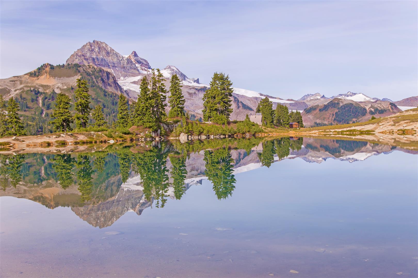
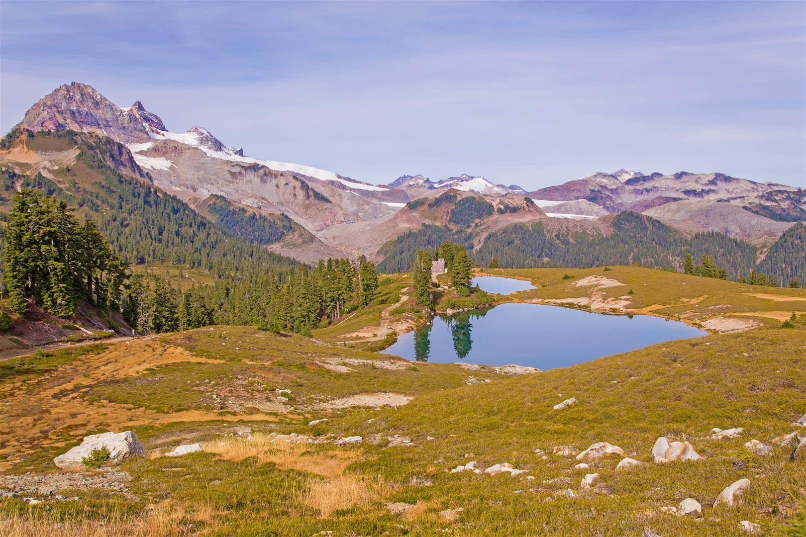
Today was a gorgeous early autumn day for a hike. Elfin Lakes is in Garibaldi Provincial Park, just north of Squamish, and is one of those hikes where the scenery seems to get better the farther you go.
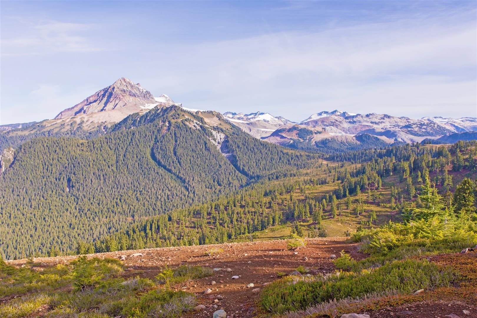
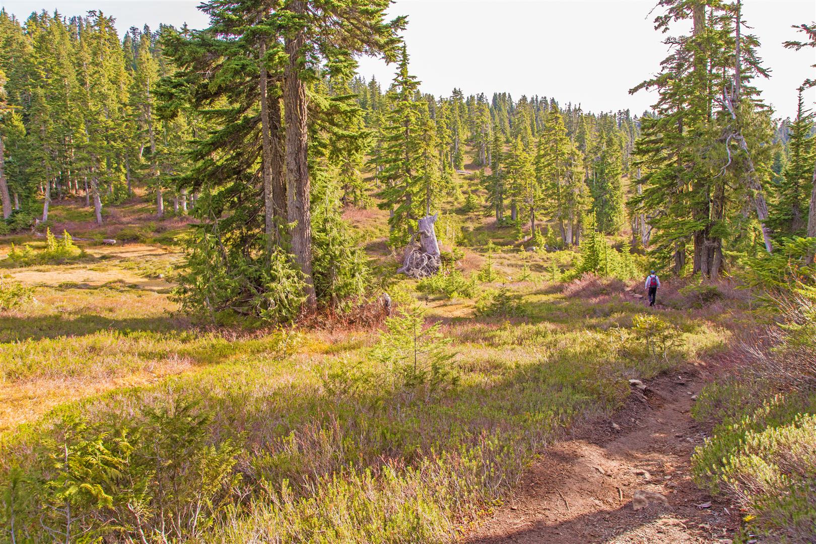
When we did the hike, the first several kilometres followed a broad old road and climbed steadily towards Red Heather Meadows. There was a short section where the trail became rougher and muddier before returning to a wide, well-established trail. As we gained elevation, the forest began to open up and the mountain views became spectacular, including Mount Garibaldi and the surrounding peaks.
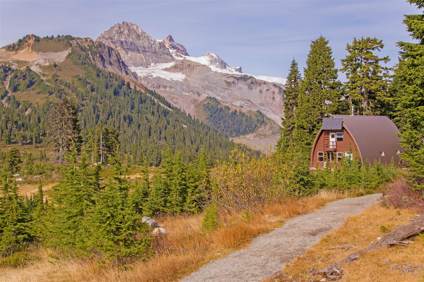
We reached Elfin Lakes in about 2 hours 20 minutes. At the time of our hike, the area had an overnight shelter, ranger facilities, a small day-use building, tent pads, picnic tables, and the two lakes. One of the lakes was used for swimming, while the other served as a water source.
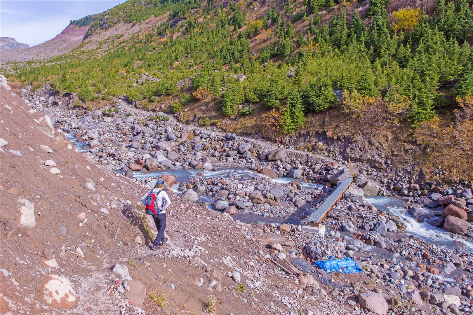
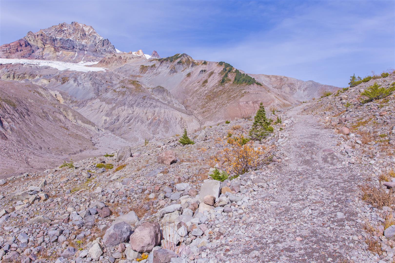
We had not made any plans to explore beyond Elfin Lakes, but once we arrived we decided to continue towards Opal Cone, approximately 6.5 km farther along the trail. After crossing the bridge over Ring Creek, the landscape changed dramatically. Much of the route was across a rugged, rocky valley with very little shade, and it was quite warm with the sun beating down.
We eventually had to turn around about 1.5 km and 300 m of elevation short of Opal Cone because of the early autumn sunset. So close! It would have to wait for another trip.
Interesting Facts
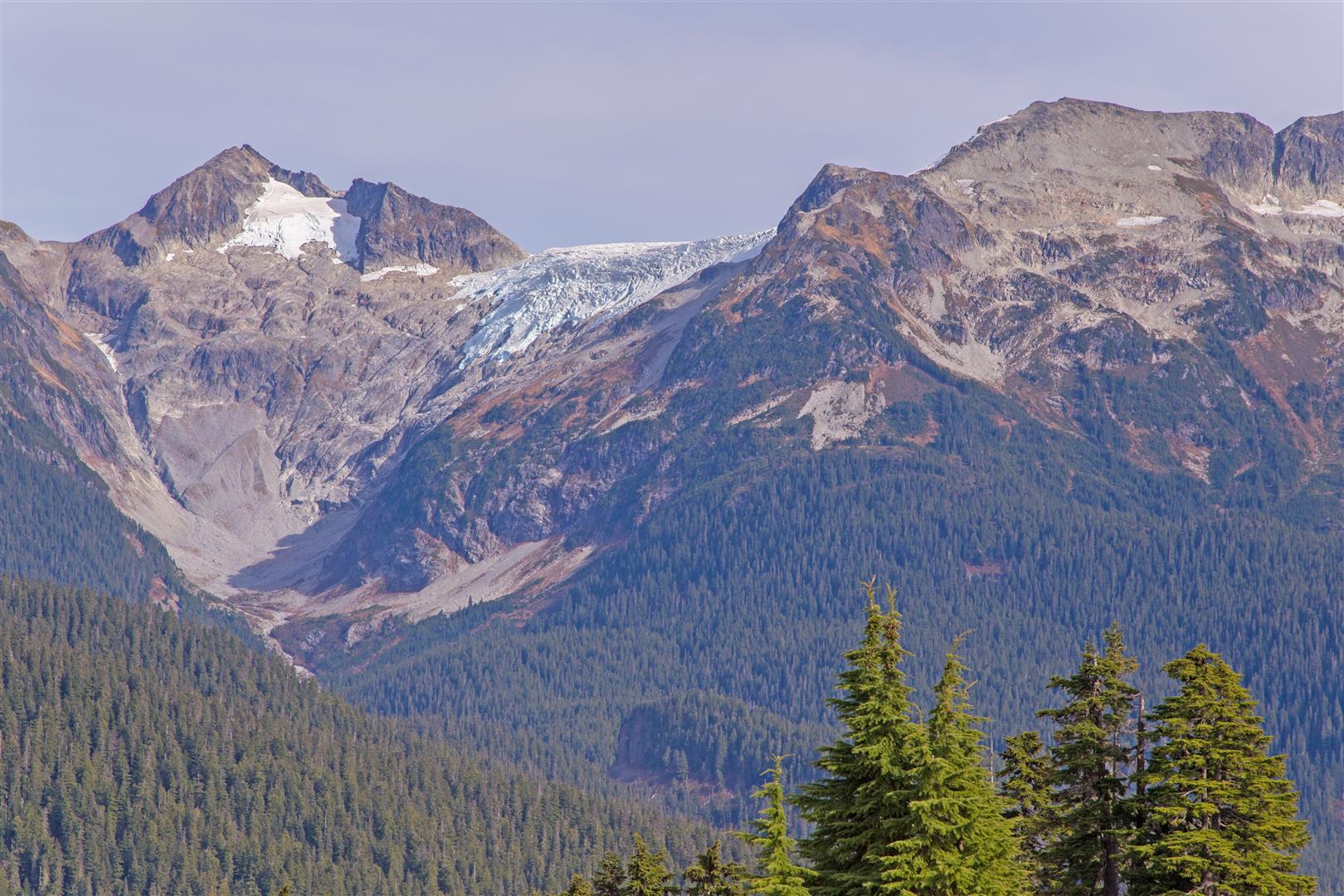
- Elfin Lakes is in the Diamond Head area of Garibaldi Provincial Park. The surrounding landscape includes Mount Garibaldi, Atwell Peak, Opal Cone, the Garibaldi Neve, Columnar Peak, and the Mamquam Icefield.
- This hike is primarily within the Mountain Hemlock (MH) biogeoclimatic zone, the subalpine forest zone found along coastal British Columbia. Mountain hemlock, amabilis fir, and yellow cedar are common, while the higher and more exposed areas have open parkland, heather, and subalpine meadows.
- Opal Cone is an extinct volcanic cone with a visible crater at the top. It is part of the volcanic landscape surrounding Mount Garibaldi.
- Mount Garibaldi rises to 2,678 m and is a potentially active volcano. It is part of the Garibaldi Volcanic Belt, the northern extension of the Cascade volcanic system that also includes Mount Baker and Mount St. Helens.
- Elfin Lakes were once referred to as Crystal Lakes. The name Elfin Lakes was officially adopted in 1978, although the name had been used locally decades earlier.
Trail Stats
Elfin Lakes
- Distance: 22 km (return)
- Time: 5 hours
- Low point: 979 m
- High point: 1,592 m
- Elevation gain: 613 m
- Cumulative elevation gain: 750 m
- Trailhead: 49° 45′ 0.6″ N, 123° 03′ 12.64″ W (Google Map)
Our Extended Hike Towards Opal Cone
- Distance: 29.4 km (return)
- Time: 8 hours
- Low point: 979 m
- High point: 1,592 m
- Elevation gain: 613 m
- Cumulative elevation gain: 1,500 m
The Route
The GPS track below is from the hike to Elfin Lakes and back. It does not include our additional exploration towards Opal Cone. Green marks the start/end point. Use the layer control in the top right to switch to a satellite view.
Photos
Before You Hike
Before heading out on your hike, make sure you are well prepared. This means having the TEN ESSENTIALS. It is also important to leave a trip plan (route details and estimated return time) with someone you trust.
Bring your smartphone, fully charged, and put it in airplane mode while hiking. I always bring backup battery packs for extra peace of mind. It is highly recommended that you bring a GPS device. I use my smartphone with a GPS app (Backcountry Navigator). The GPS will work in airplane mode. Learn how to use it before your hike.
For anyone new to hiking, there is a rule that hikers follow called “Leave No Trace” or LNT. The concept is generally to pack out what you pack in and respect nature, so all future visitors can enjoy what you have enjoyed. To learn more about LNT, please check out this blog by a certified LNT Trainer.