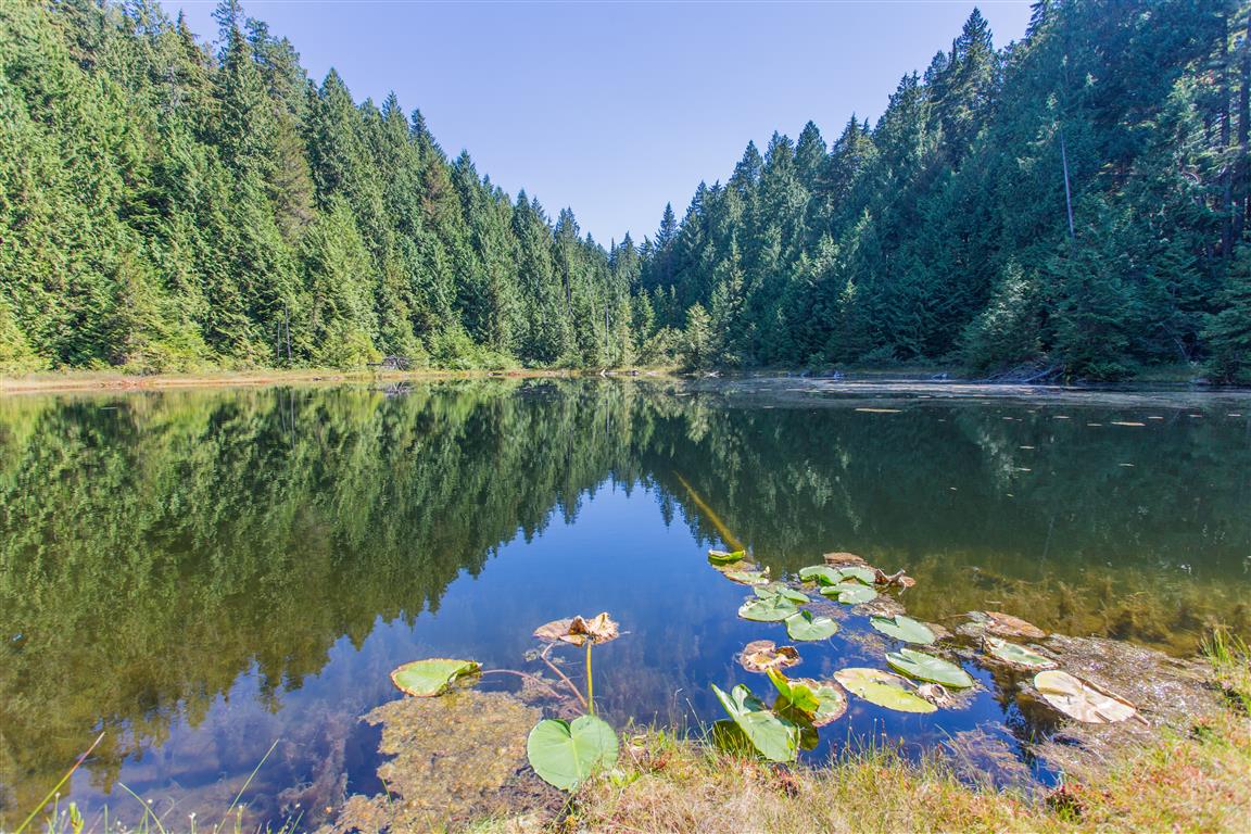
Mount Nutt is in Golden Ears Provincial Park, and the trail was made between 2011 and 2013 by Alan Lizee and the Ridge Meadows Outdoor Club. The first 1.6 km from the parking lot is a very gentle slope on a gravel path (East Canyon Trail), which is a good warm-up. At the 1.6 km mark, you take a right turn into the forest, and the vertical gain really starts — suddenly you find yourself heading up fast — well, not that fast! The trail is very well marked (can be slippery when wet). For a while, the climb follows a small creek, which drains a small lake further up.
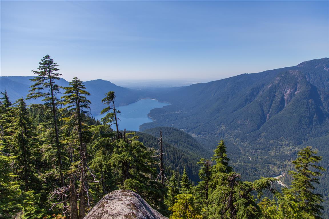
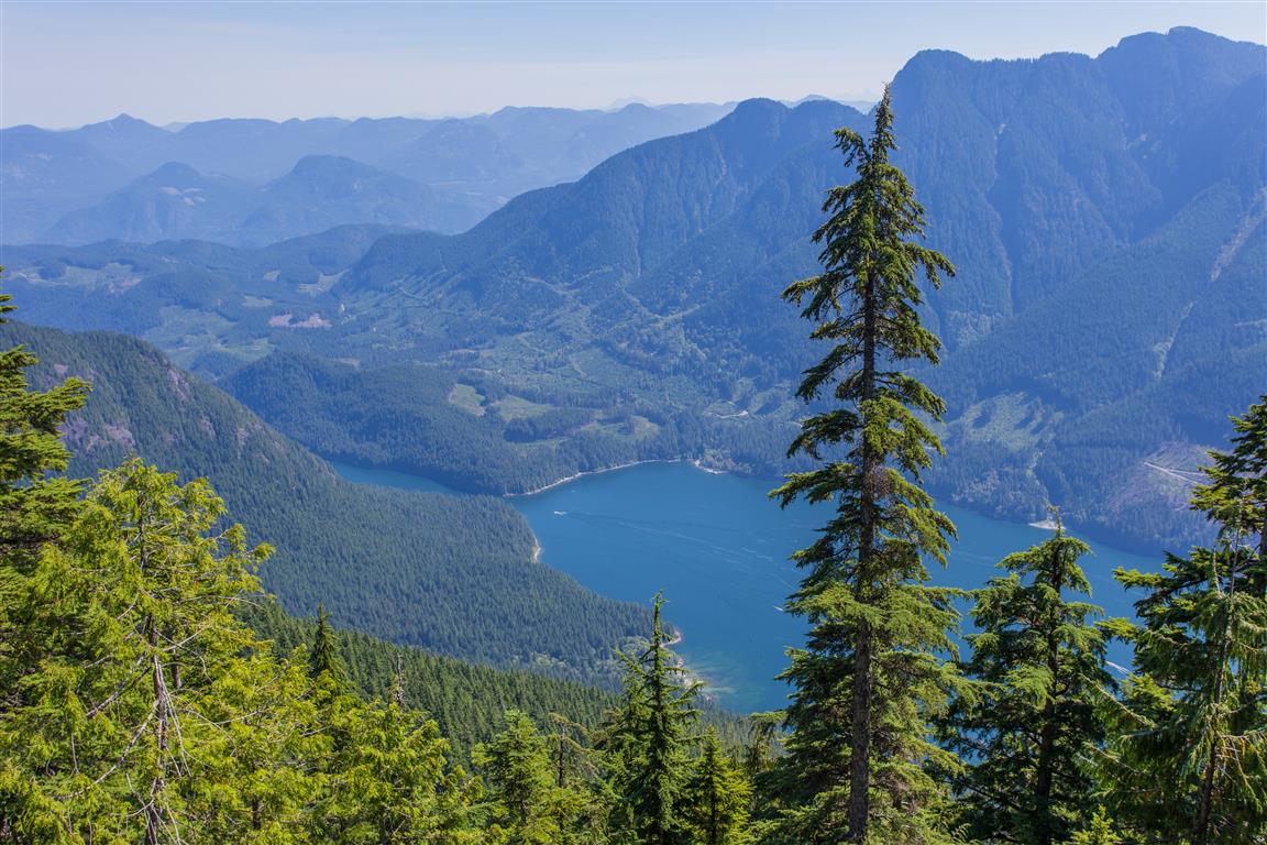
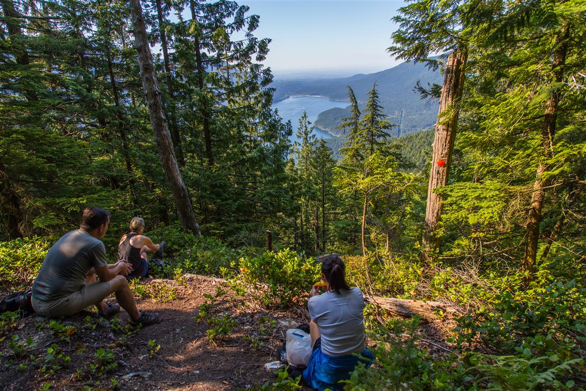
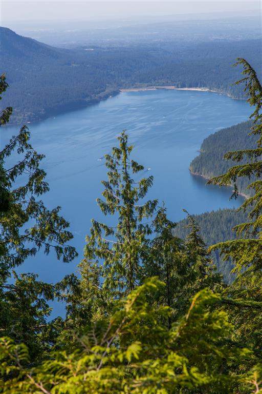
The lake is nice, and the area around it gives you a little reprieve from the gruelling climb. Soon after leaving the lake area, the climb continues. Eventually, we reached a viewpoint (680 m), which offered a pretty good view of Alouette Lake.
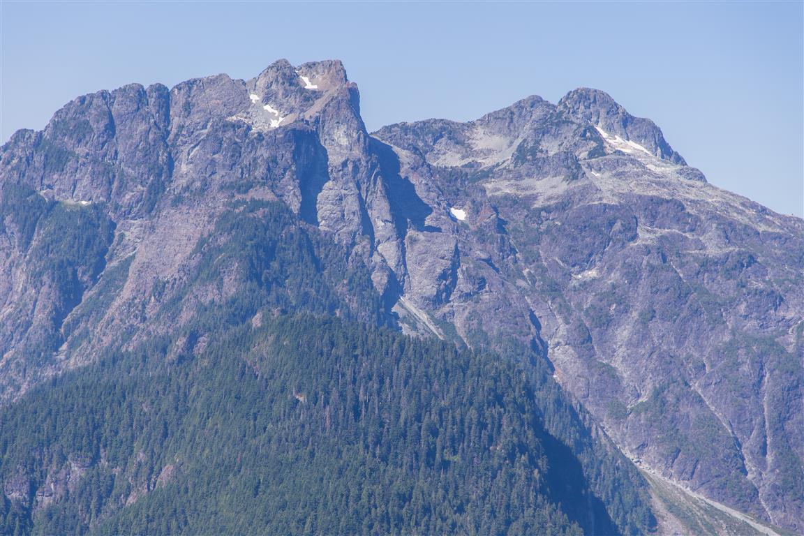
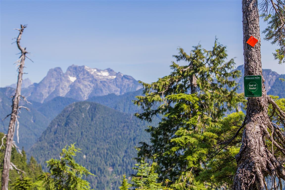
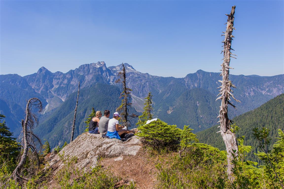
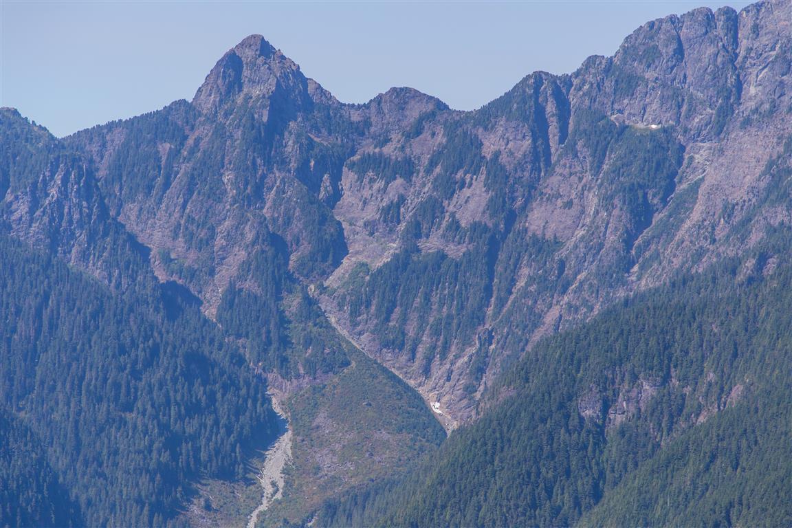
Continuing along the ridge, you are treated to about 4 more viewpoints overlooking Golden Ears, Evans Valley, Edge Peak, and Alouette Lake, among others. The trail ends before the true summit. We couldn’t find a trail to the summit, but some people have done it.
Interesting Facts
- Golden Ears Provincial Park was established in 1927, originally as part of Garibaldi Provincial Park. The park takes its name from the twin peaks of Golden Ears, which were originally called “Golden Eyries,” likely a reference to golden eagles once seen nesting near the summit
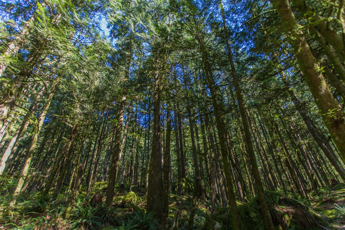
- This trail climbs through two biogeoclimatic zones. Up to around 900 to 1,000 m, you’re in the Coastal Western Hemlock (CWH) zone, dominated by western hemlock, western red cedar, and Douglas fir. Above that, near the trail’s high point of 1,150 m, you cross into the Mountain Hemlock (MH) zone, a subalpine zone where mountain hemlock and amabilis fir take over
Trail Stats
- Distance: 10.7 km (return)
- Low point: 160 m
- High point: 1,150 m
- Elevation gain: 990 m
- Trailhead/parking: 49° 20′ 4″ N, 122° 27′ 24.5″ W (Google Map)
The Route
The actual GPS track from this hike, drawn on the map below. Green marks the start/end point. Use the layer control in the top right to switch to a satellite view.
Photos

Before You Hike
Before heading out on your hike, make sure you are well prepared. This means having the TEN ESSENTIALS. It is also important to leave a trip plan (route details and estimated return time) with someone you trust.
Bring your smartphone, fully charged, and put it in airplane mode while hiking. I always bring backup battery packs for extra peace of mind. It is highly recommended that you bring a GPS device. I use my smartphone with a GPS app (Backcountry Navigator). The GPS will work in airplane mode. Learn how to use it before your hike.
For anyone new to hiking, there is a rule that hikers follow called “Leave No Trace” or LNT. The concept is generally to pack out what you pack in and respect nature, so all future visitors can enjoy what you have enjoyed. To learn more about LNT, please check out this blog by a certified LNT Trainer.