Category Archives: Other Metro Vancouver

Pitt-Addington Marsh


The full name of this area is the Pitt-Addington Marsh Wildlife Management Area.
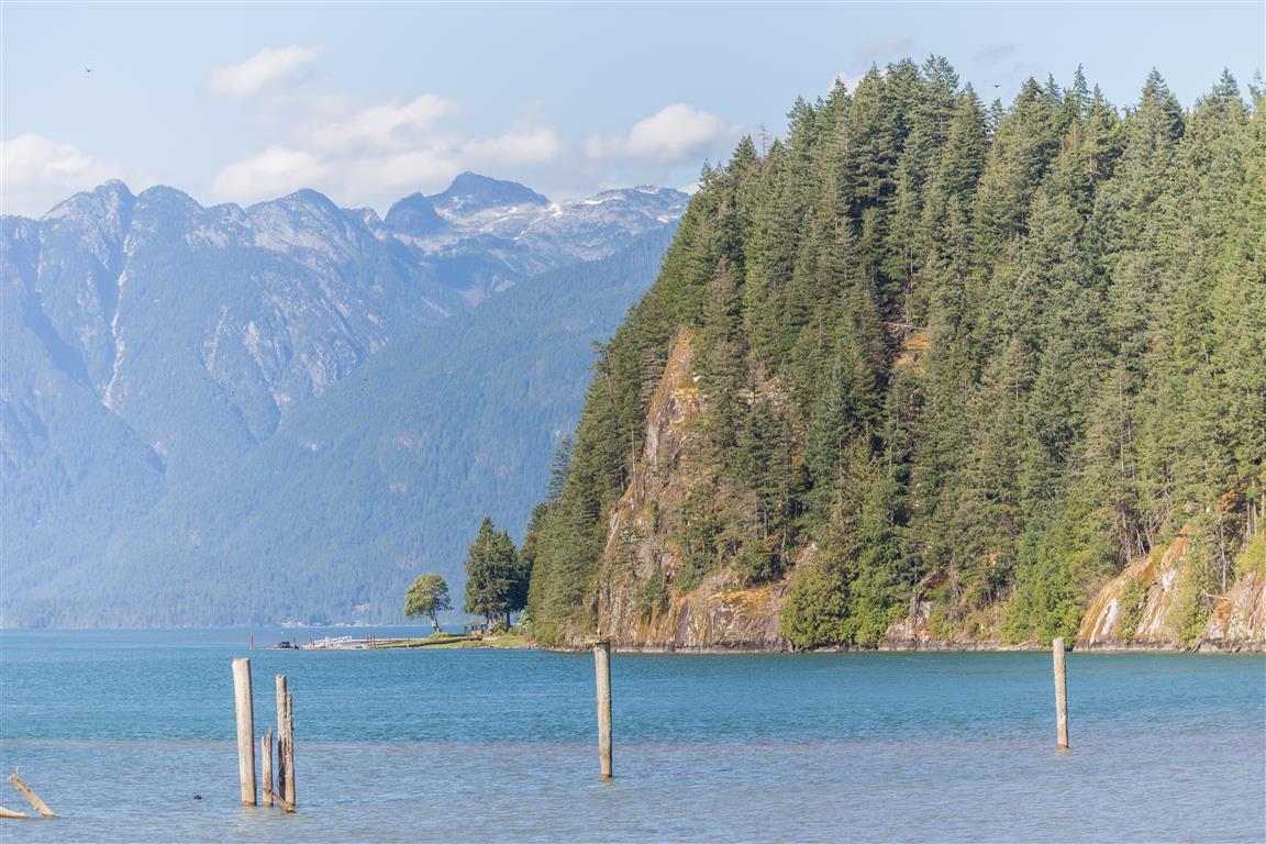
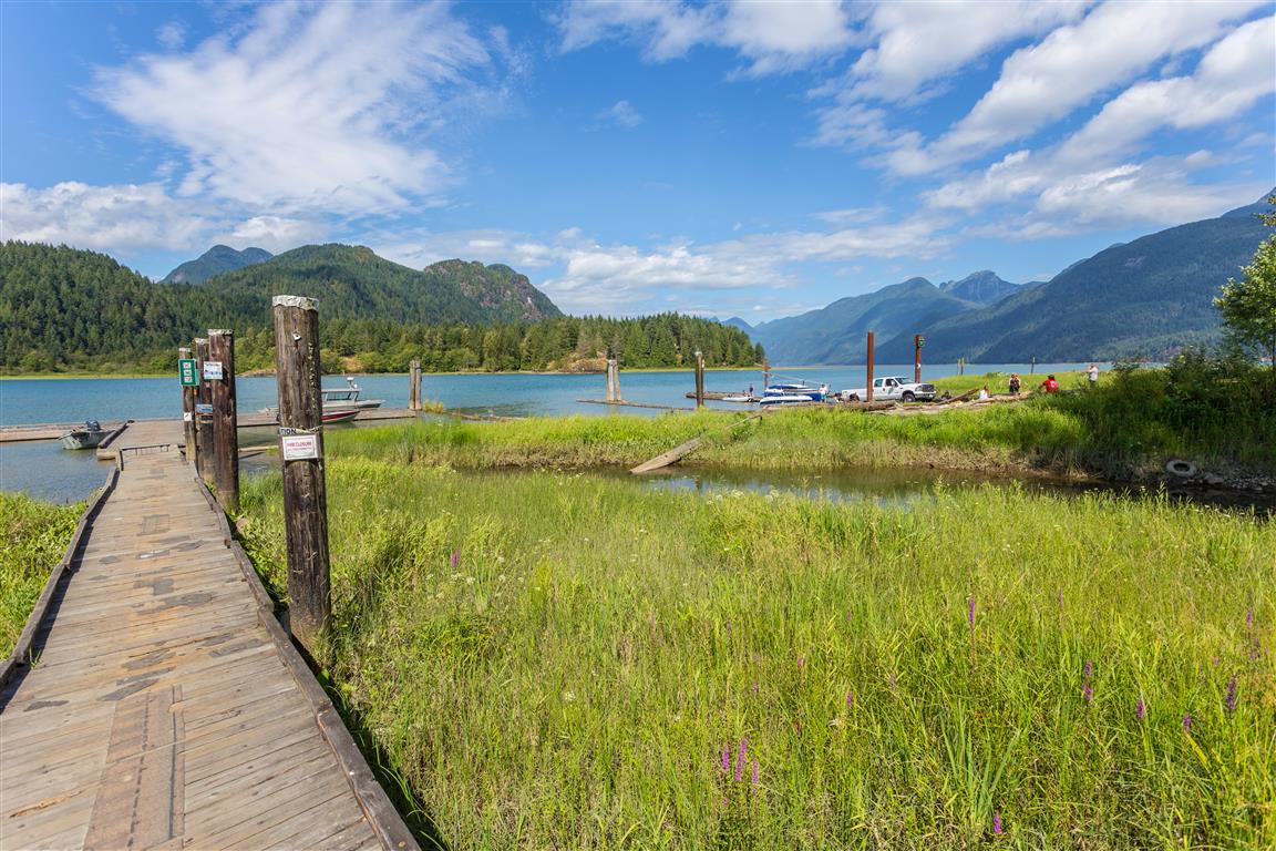
It is located where the Pitt Lake drains into the Pitt River.

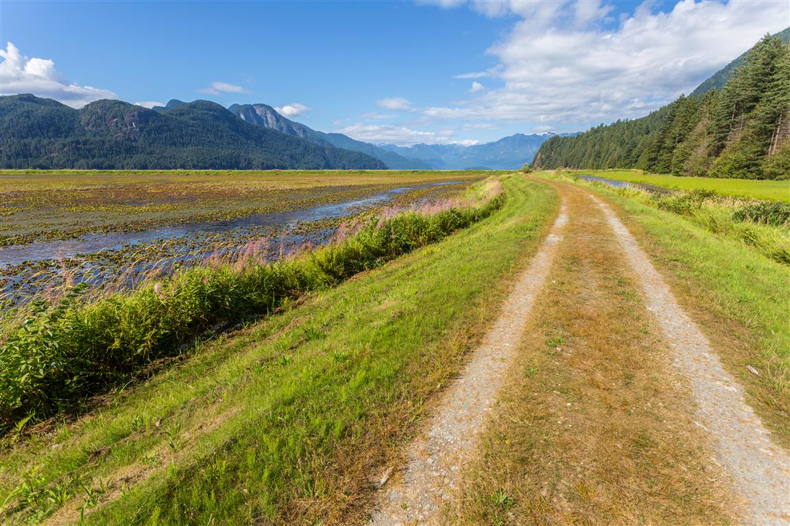
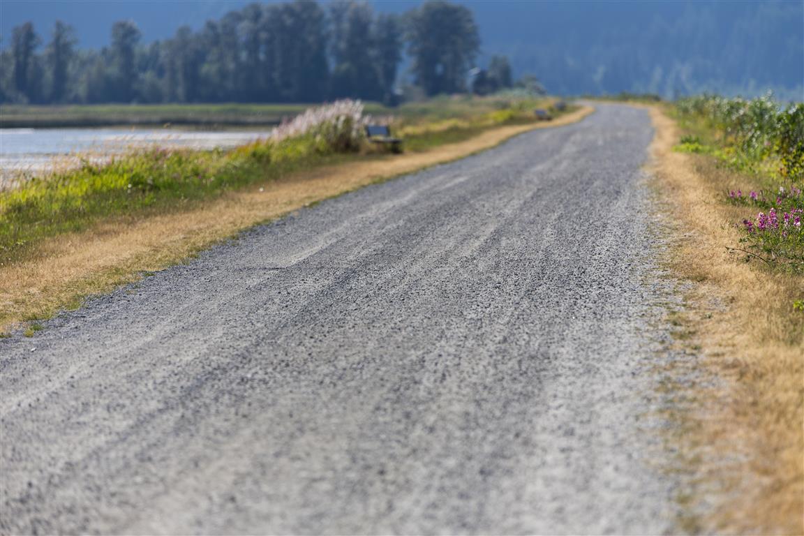
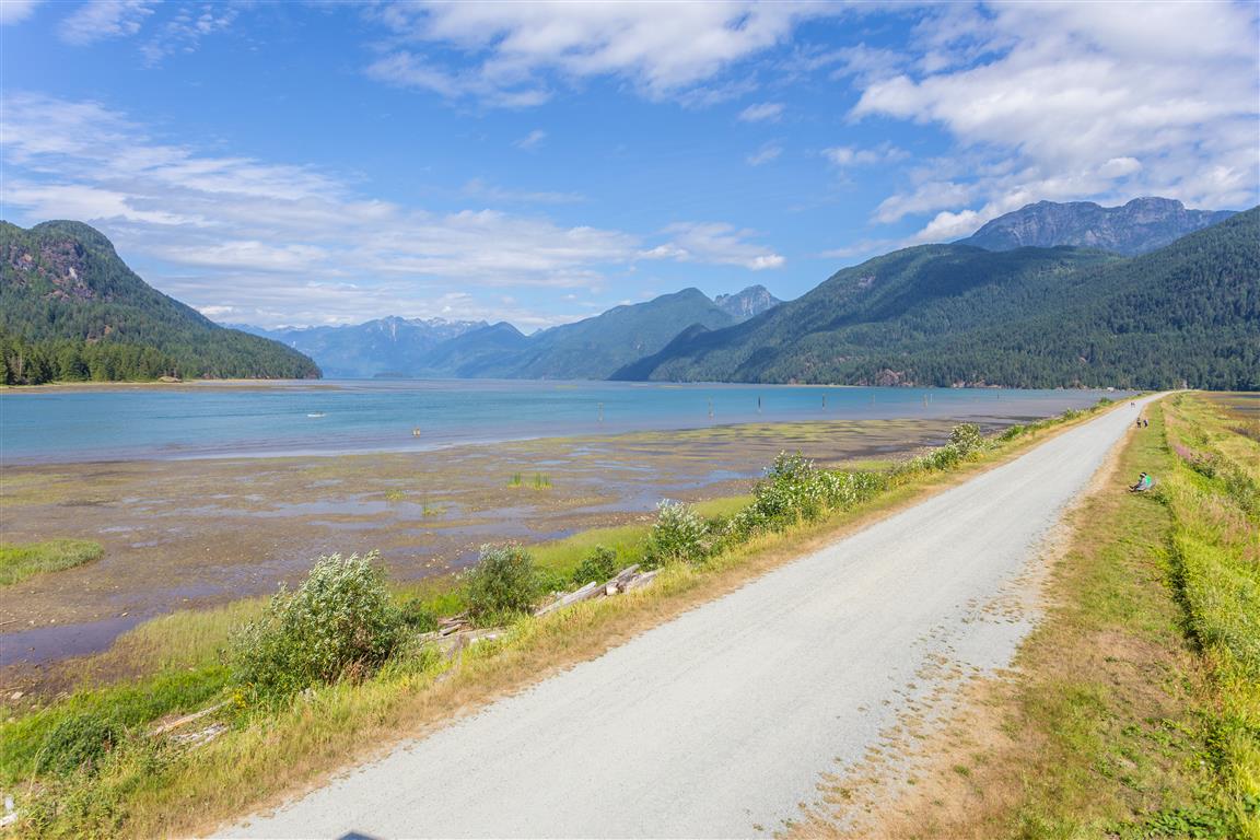
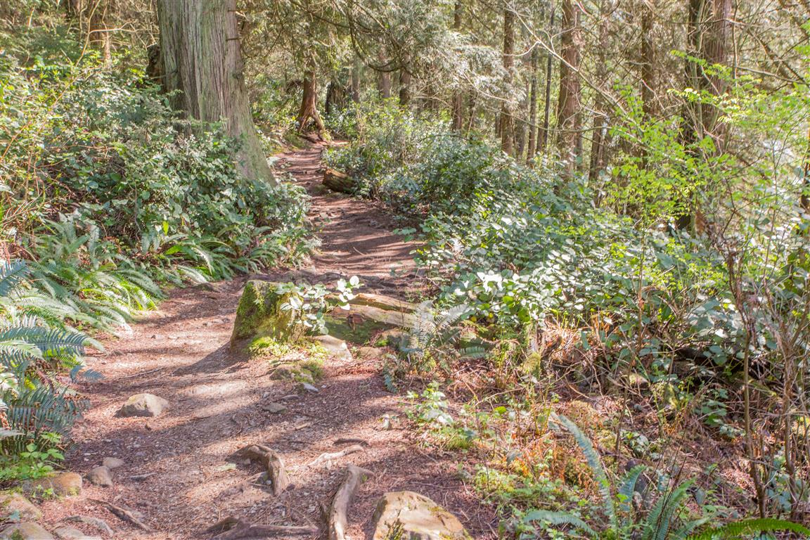
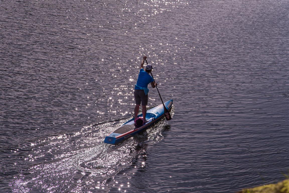
There are a network of dykes and trails taking you along the River/Lake and marshland. This is more of a walk, as it is completely flat, but the distances can be over 10 km, depending where you go.

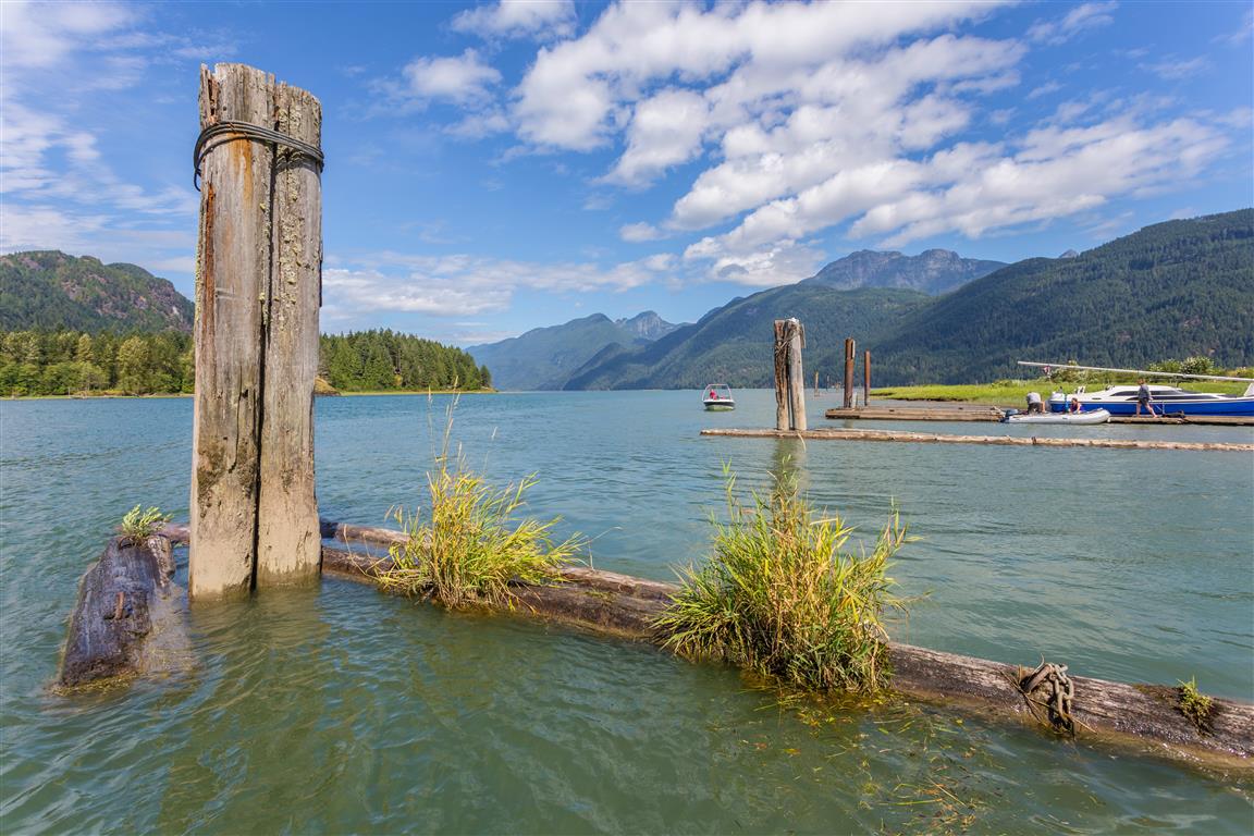
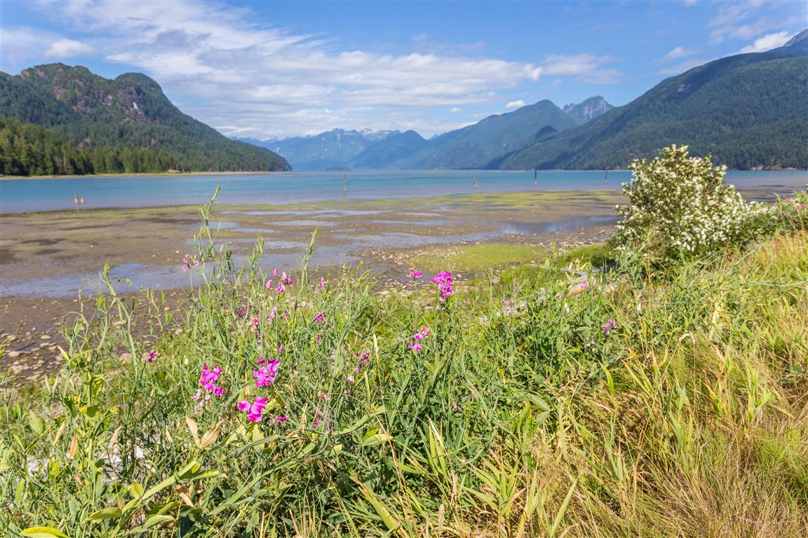
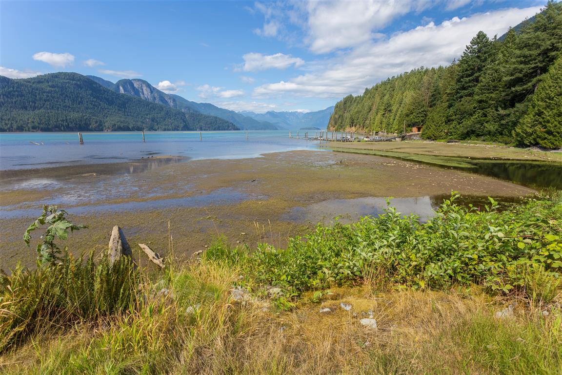
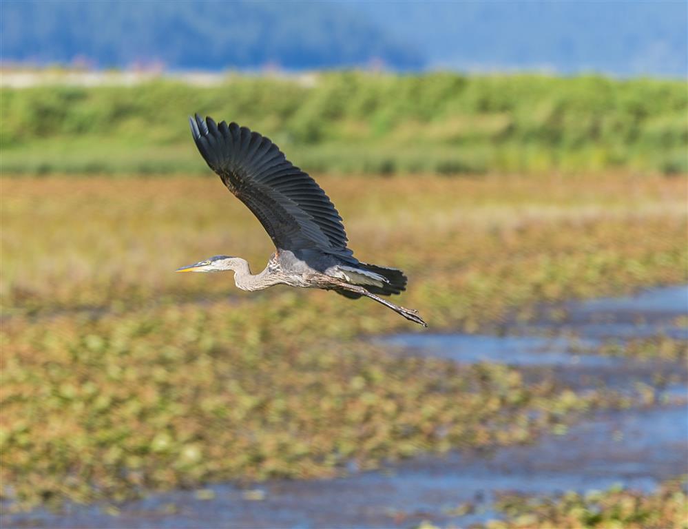
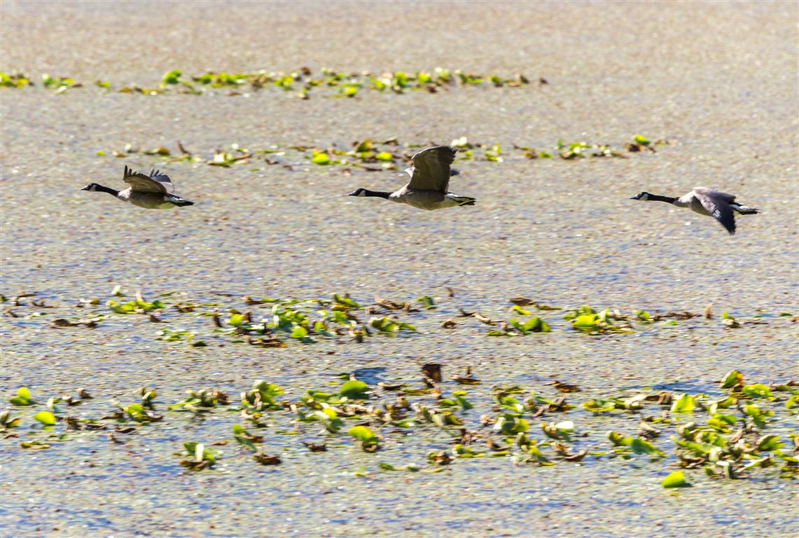
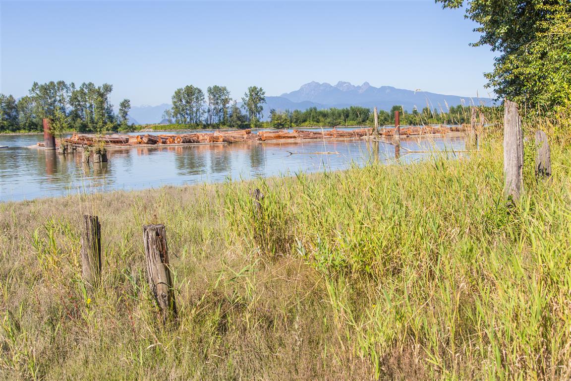
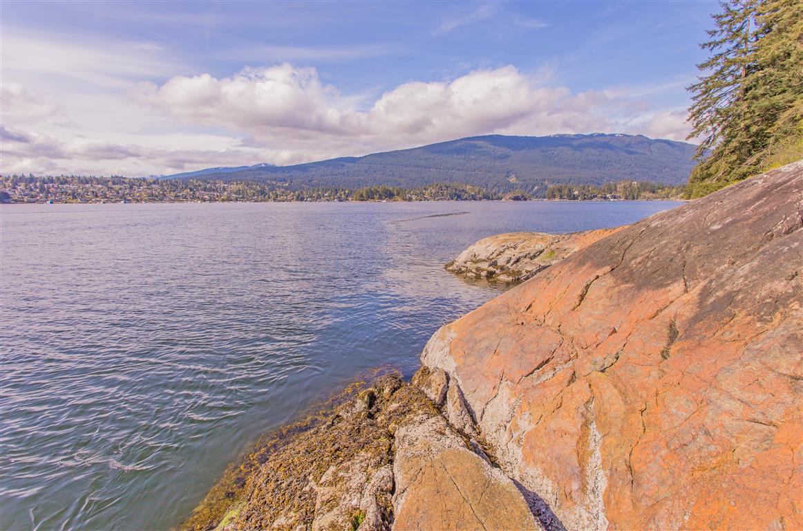
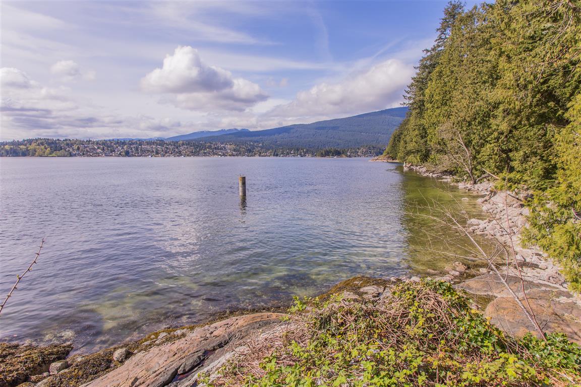
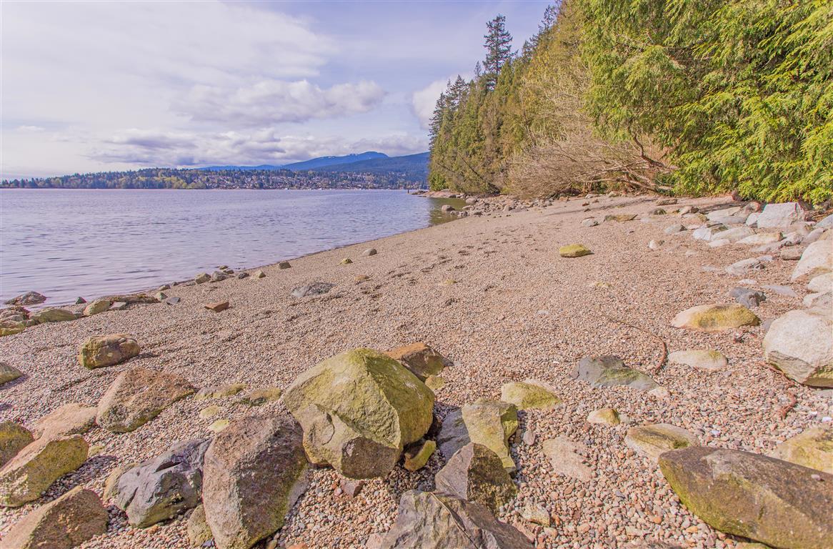
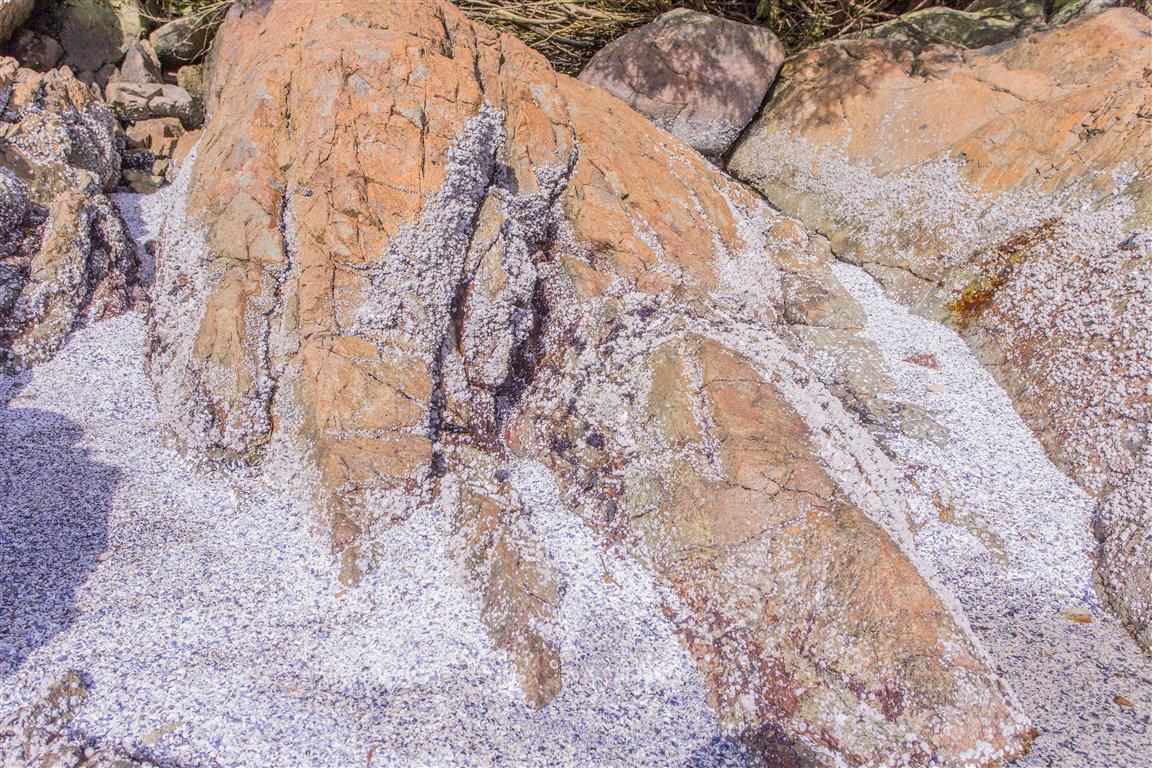
The Pitt-Addington Marsh WMA supports over 200 bird and 29 mammal species. This WMA is generally a flat, alluvial floodplain made up of dyked and undyked areas. Pitt Lake is the largest tidal freshwater lake in the world. There is a rare reverse delta at the mouth of the Pitt River, a result of deposition which occurs when rapidly flooding tides dam and reverse the main Fraser River outflow back up into Pitt Lake. The WMA also contains Pitt Polder Ecological Reserve, an area of sedge bog and two forested granitic outcrops rising 114 metres above the floodplain.

Interesting facts about Pitt Lake:

    • It is 24 km long
    • Is considered a tidal fjord lake
    • There is on average a three foot tide range
    • Pitt Lake is in a typical U-shaped glacial valley
    • The Upper Pitt River originates in Garibaldi Provincial park

The Details:

Distance: varies, but my route was 6.6 km
Time: varies
Low point: close to sea level
High point: close to sea level
Elevation gain: minimal
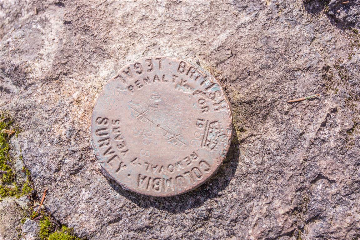
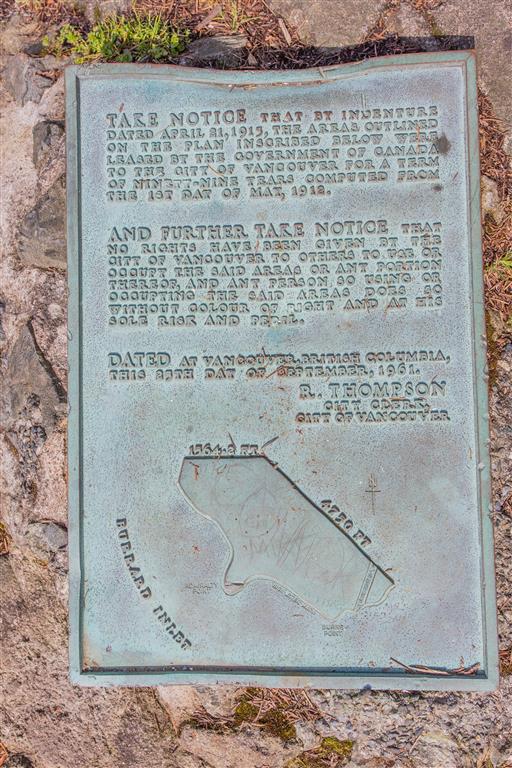
Trailhead and parking: 49° 20’ 55.8” by 122° 37’ 00” (Google Maps and navigation)

The route with downloadable gpx…
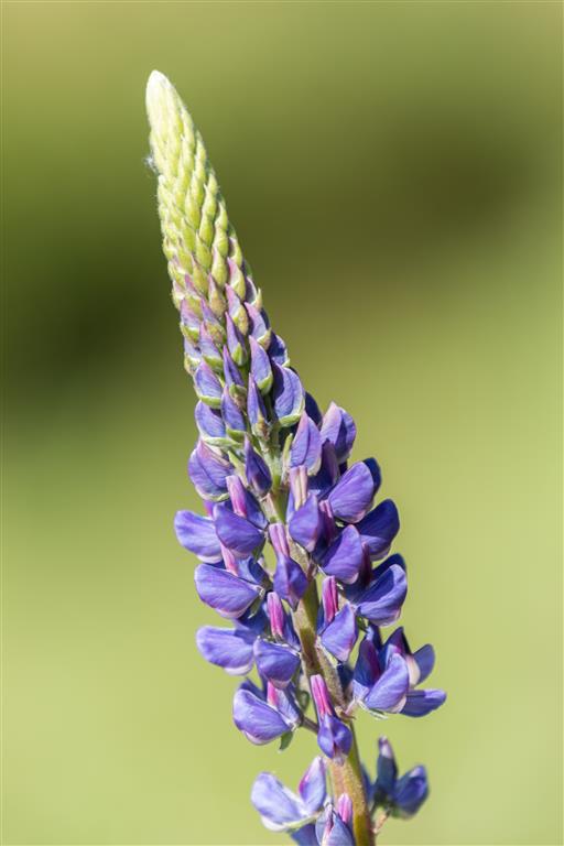
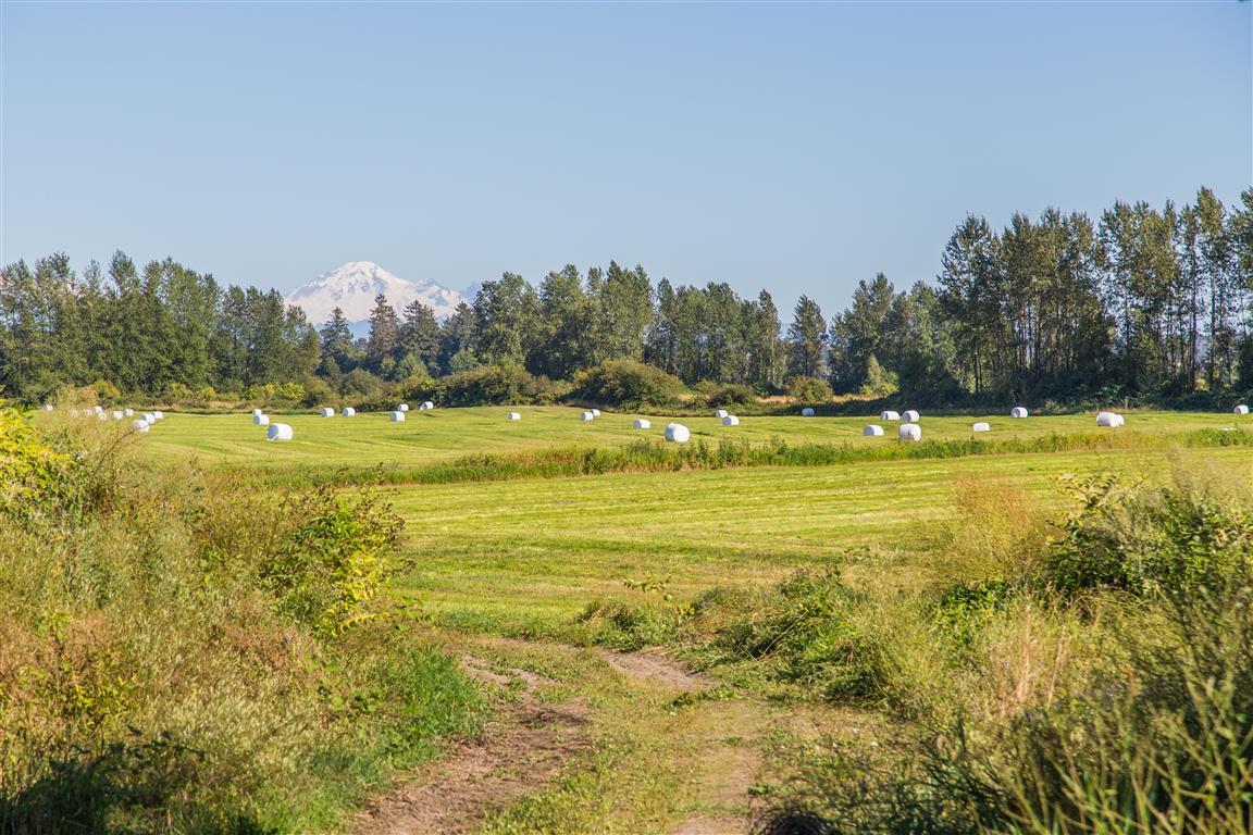
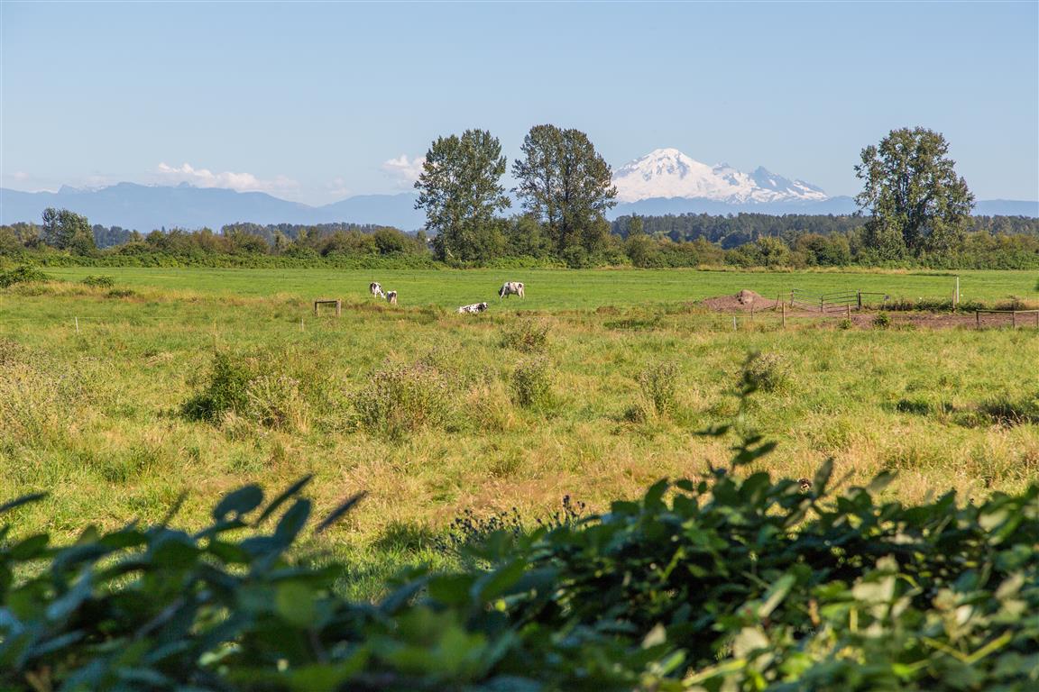
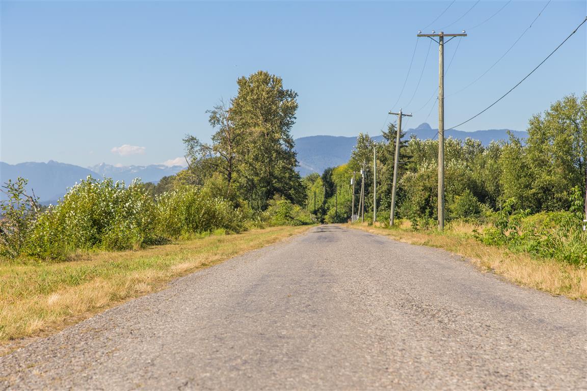
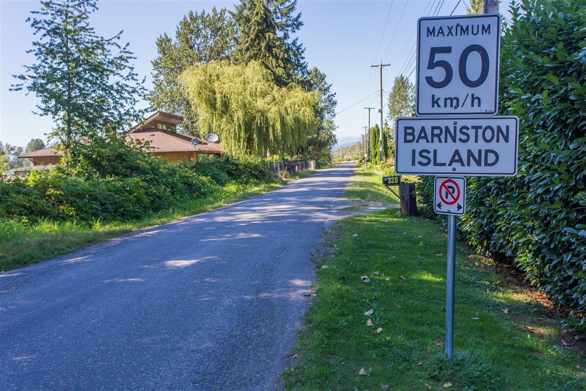
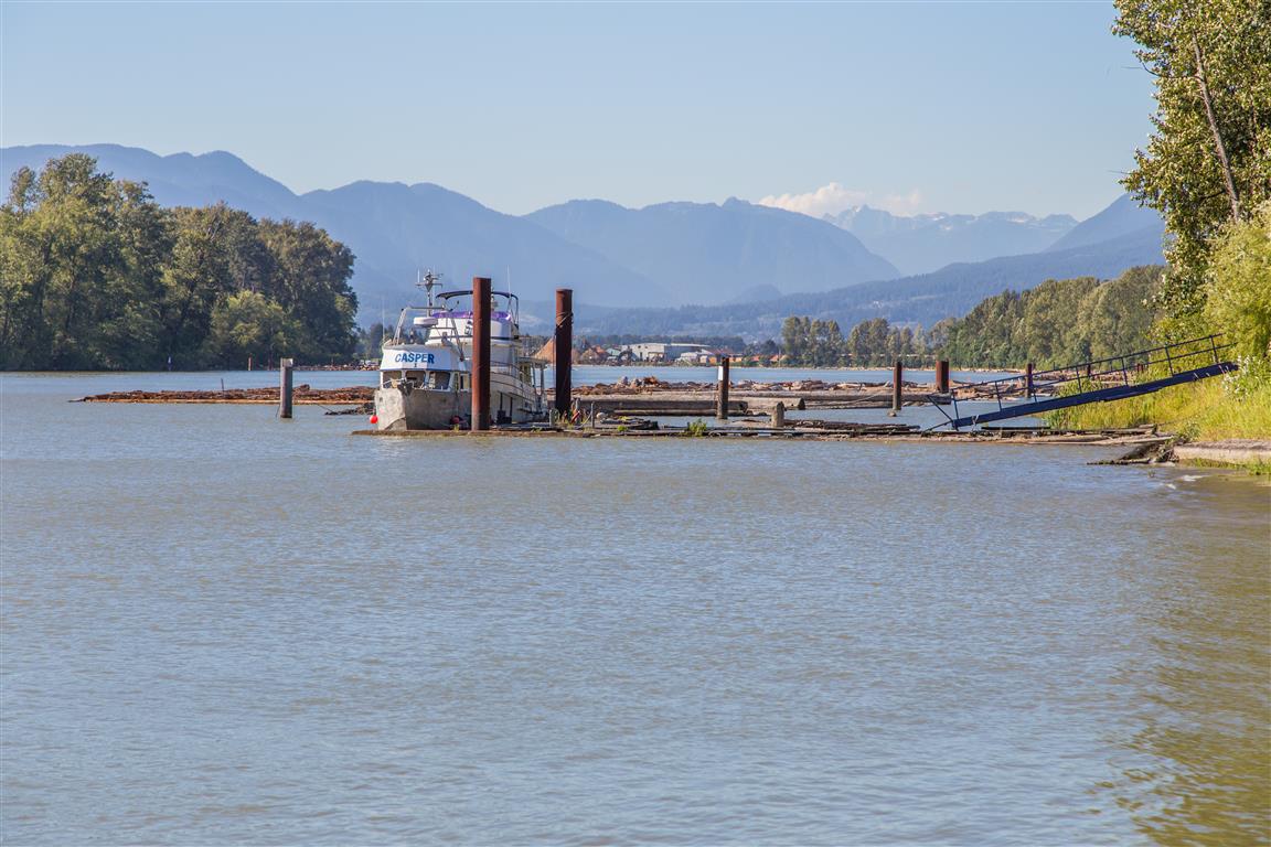
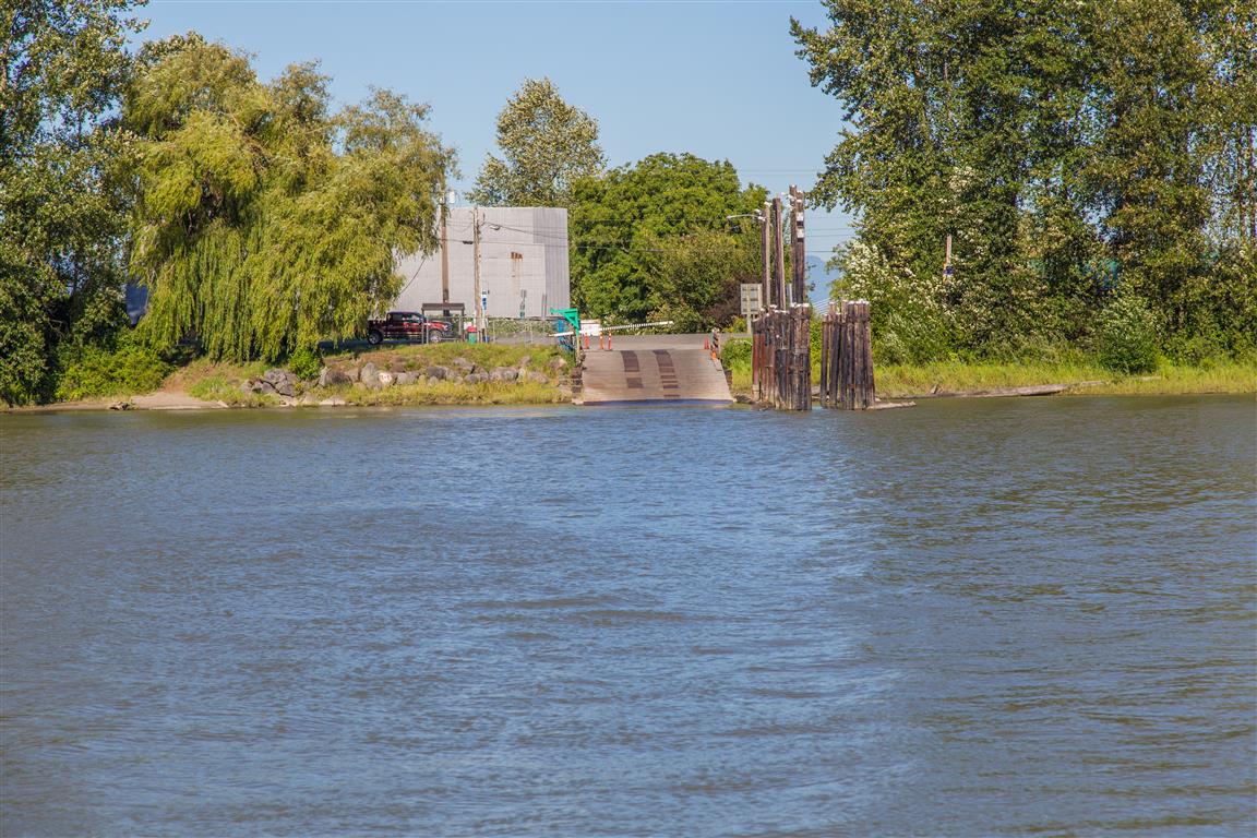
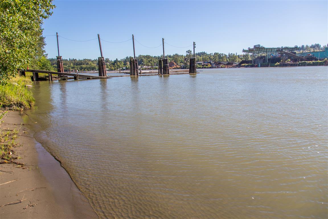
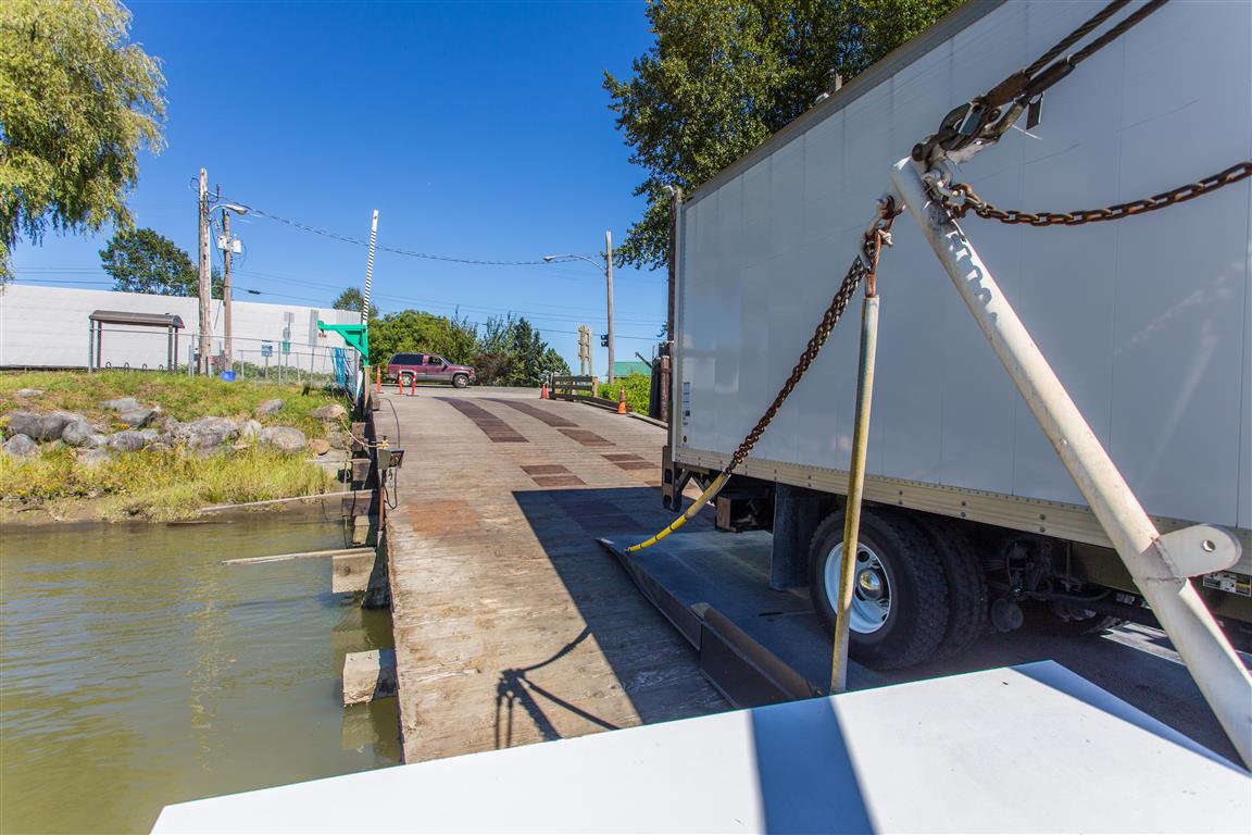
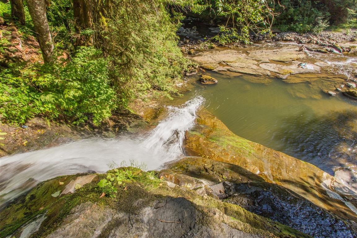
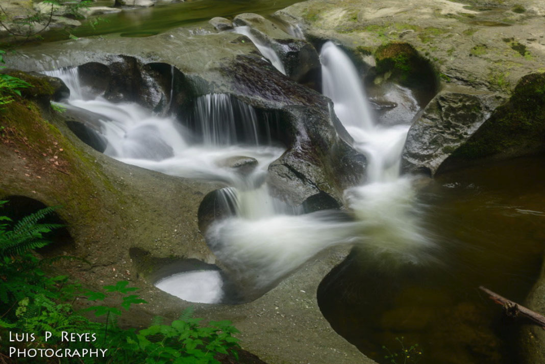
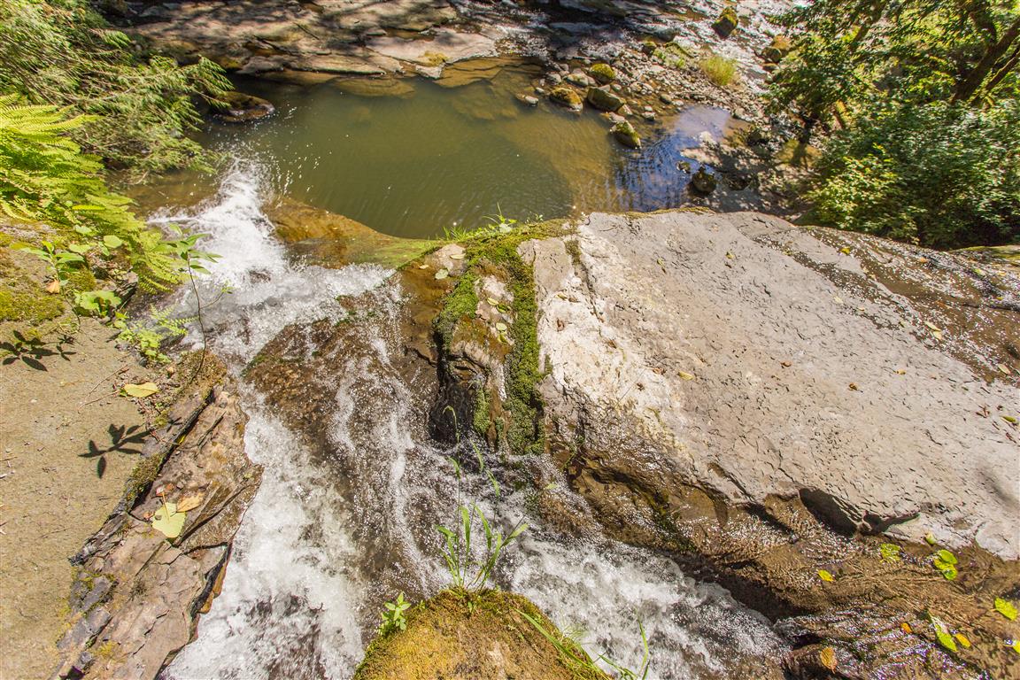
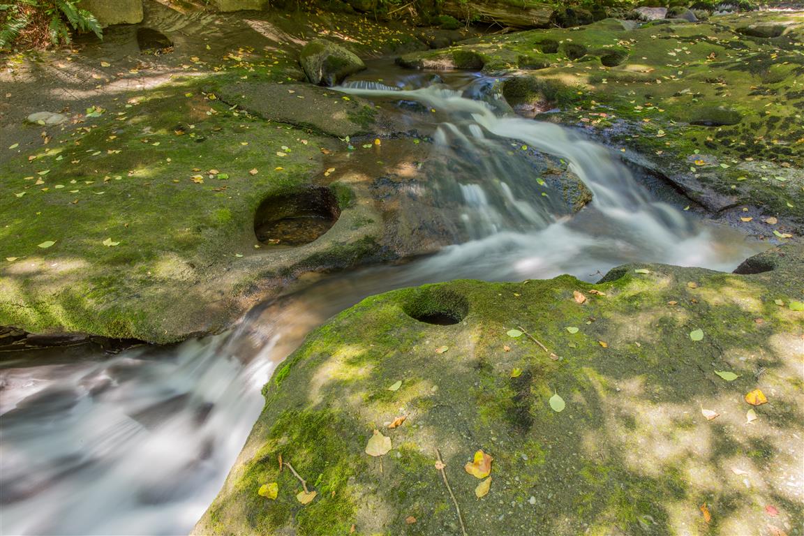
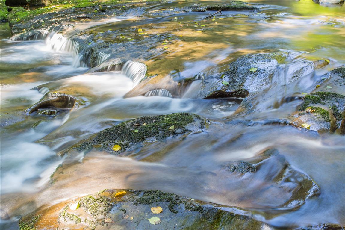
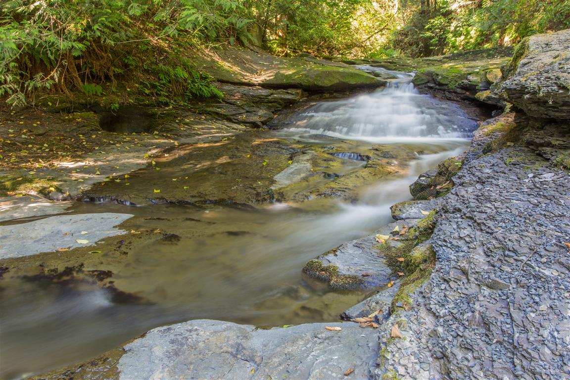
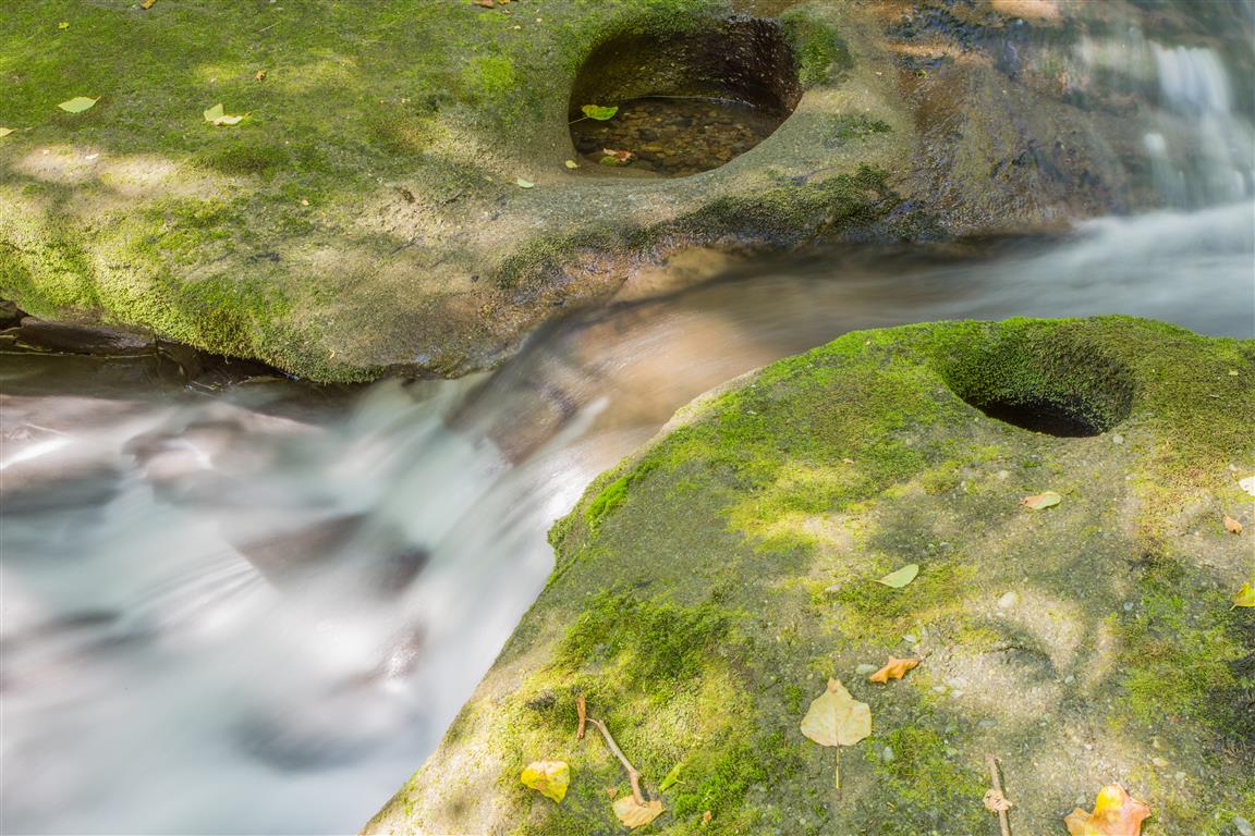
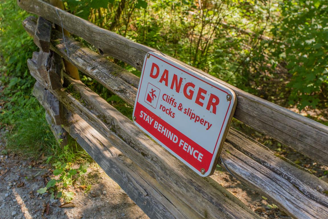
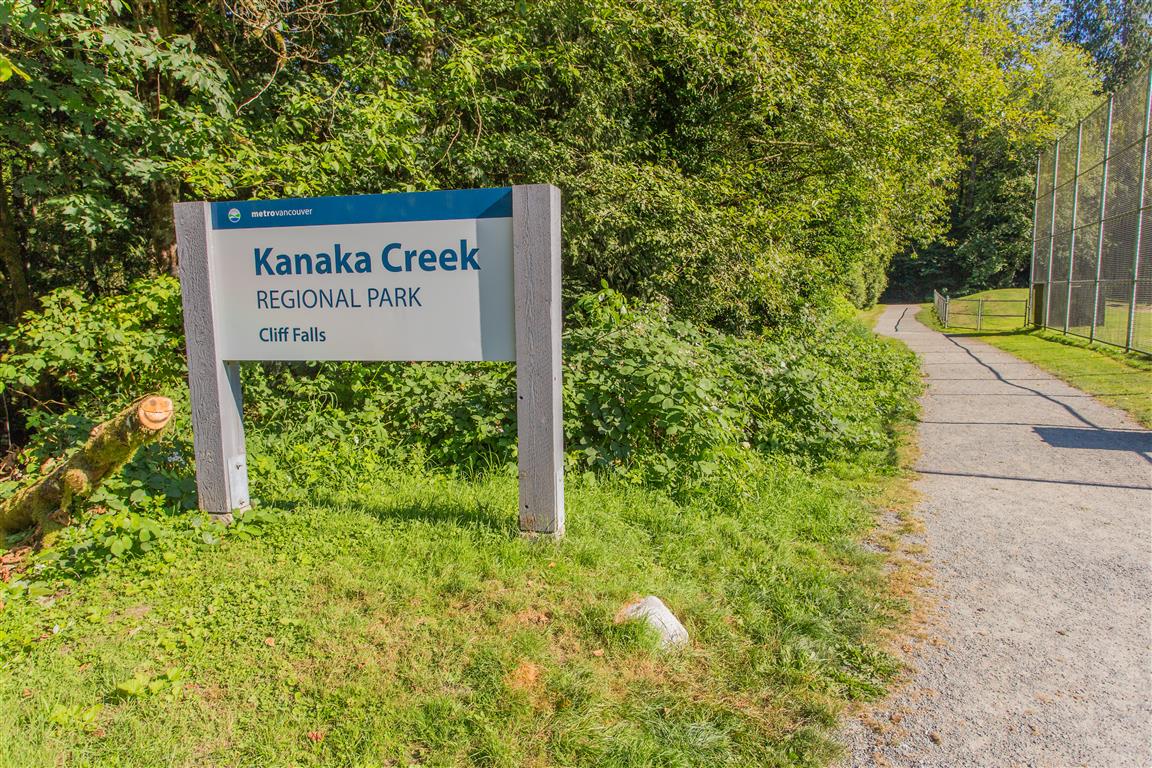
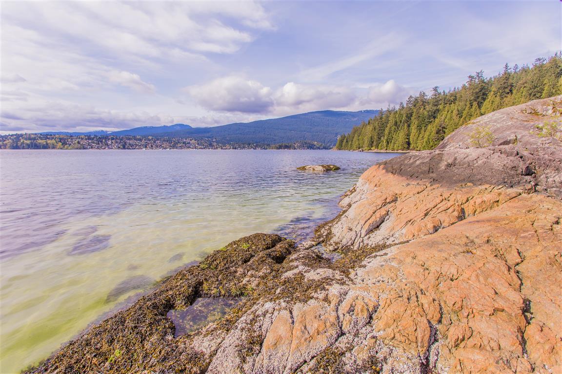
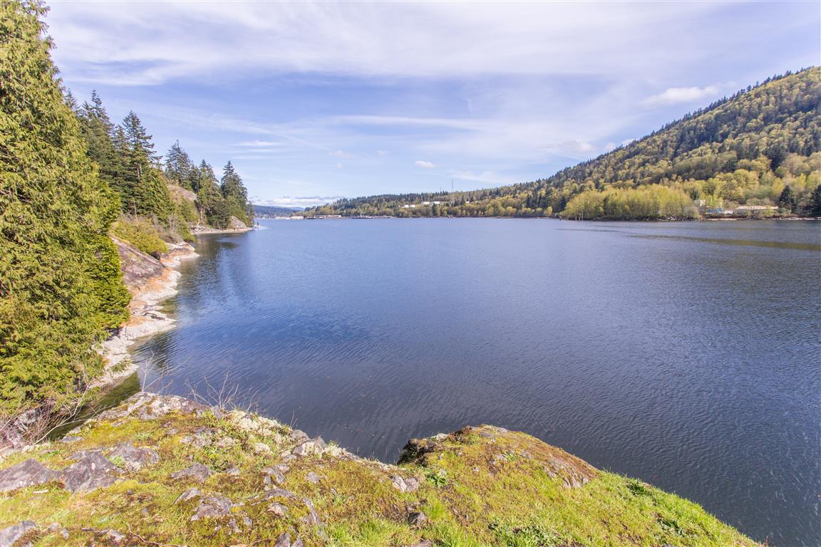
The Photos:

Pitt Lake
Pitt Lake
Pitt Lake
Pitt Lake
Pitt Lake
Pitt Lake
Dyke in Marsh
Dyke in Marsh
Dyke Path
Dyke Path
Dyke
Dyke
Heron
Heron
Mountains
Mountains
Purple Lupine
Purple Lupine
Wharf
Wharf
White Sweet Pea Flower
Canadian Geese
Canadian Geese

Barnston Island


Barnston Island is a 1500-acre agricultural island in the Fraser River. There is a free ferry that takes you to the island at the east foot of 104th Avenue in Surrey. When I went in 2016, the parking was free.

There are many choices for recreation here. You can bike or walk around the island, or just go to one of the ends and back again. You can take cars on the Island, but there are no parking lots (so what’s the point unless you live there ?).

Distance around island: 10 km
Distance to west point and back: 3.5 km
Distance to east point and back: 8.3 km
Time: varies
Low point: near sea level
High point: near sea level
Elevation gain: minimal
Location for Parking: 49° 11’ 30.14” by 122° 43’ 35.8” (Google Maps and navigation)

Perimeter route with downloadable gpx…

The Photos…

Farming fields
Farming fields
Golden Ears
Golden Ears
Mt. Baker
Mt. Baker
Mt. Baker
Mt. Baker
Perimeter Road
Perimeter Road
Road on Island
Road on Island
Boat on Fraser River
Ferry dock
Ferry dock
Ferry dock
Ferry dock
Loading onto ferry
Loading onto ferry
Barn
Barn

Kanaka Creek Cliff Falls


Kanaka Creek Regional Park is located in the middle of Maple Ridge. I can’t believe how many times I’ve driven by and never knew it was there !

The highlight of this park is the cliff falls formed from sandstone. Over many years, running water has carved a deep canyon and interesting rock formations. Be very careful if you get close to the creek – the rocks are very slippery. There is also a nice network of trails that take you around the park and it’s mostly under the shade of large trees, so it’s great for hot days !

This park is similar in features and geology to Whatcom Falls Park in Bellingham, Washington.

Here are the stats for the loop I did today…

Distance: 2.1 km
Time: 1 hour
Low point: 63 m
High point: 104 m
Elevation gain: 41 m
Trailhead/Parking: 49° 12’ 46.2” by  122° 31’ 34.4” (Google Map)

The route…

Some photos:

Big waterfall
Big waterfall
Cliff Falls
Cliff Falls
Big waterfall
Big waterfall


Kanaka Creek
Kanaka Creek
Kanaka Creek
Kanaka Creek
Kanaka Creek
Kanaka Creek
Kanaka Creek
Kanaka Creek
Danger !
Danger !
Kanaka Creek Regional Park

★★★★★★★★★★★

Before heading out on your hike, make sure you are well prepared. This means, having the TEN ESSENTIALS. It is also important to leave a trip plan (route details and estimated return time) with someone you trust.

Bring your smartphone, fully charged and put it in airplane mode while hiking. I always bring back-up battery packs for extra piece of mind. It is highly recommended that you bring a GPS device; I use my smartphone with a GPS app (Backcountry Navigator). The GPS will work in airplane mode. Learn how to use it before your hike.

For anyone new to hiking, there is a rule to which hikers follow; it is called “Leave No Trace” or LNT. The concept is generally to pack out what you pack in and respect nature, so all future visitors can enjoy what you have enjoyed.
To learn more about LNT, please check out this BLOG by a certified LNT Trainer.

★★★★★★★★★★★

Admiralty Point


The trail to Admiralty Point is accessed from the Belcarra Picnic area in Belcarra Regional Park. Admiralty Point Trail is in an adjoining park, named Admiralty Point Park.
This park became a National Park in 2014. Let me explain…

The federal government originally signed a 99-year lease with the City of Vancouver back in 1912 to keep the lands for park purposes. The lands were then handed over to the Greater Vancouver Regional District — now Metro Vancouver — but the lease ran out in 2011.

The Federal Government choose not to renew the lease and to make the area a public park and stay in Parks Canada’s inventory – Voila ! A National Park !!
The park remains administered by Metro Vancouver.

Annual funding from the federal government goes toward general maintenance of the park for items such as trail maintenance, fire prevention and garbage collection. The lands also play a part in Port Moody’s history. Col. R.C. Moody, for whom the city of Port Moody is named, established the Admiralty Point Military Reserve there in 1860.

The trail winds around the shoreline, offering many spectacular views along the way.

The stats to the end (Burns Point) and back…

Distance: 6 km
Time: 2 hours (with breaks and exploring)
Low point: 2 m
High point: 33 m
Elevation gain: 31 m
Parking: 49° 18’ 44.2” by 122° 55’ 31.4” (Click for Google Map and Navigation)
Trailhead: 49° 18’ 42.8” by  122° 55’ 32” (Click for Google Map and Navigation)

*tip for mobile users – long press the “Google Map and Navigation” for the option to open in the maps app.

The route (with downloadable .gpx)…

Here are some pictures from the hike…

Admiralty Point view
View from Burns Point
View from Cod Rock
View from Cod Rock

Shoreline view
Shoreline view
Maple Beach
Maple Beach
Trail picture
Trail picture

Anchor in rock
Anchor in rock
Shells at Admiralty Point

Paddleboarder
Paddleboarder
Periwinkle
Periwinkle
Survey Monument at Burns Point
Plaque at Admiralty Point

★★★★★★★★★★★

Before heading out on your hike, make sure you are well prepared. This means, having the TEN ESSENTIALS. It is also important to leave a trip plan (route details and estimated return time) with someone you trust.

Bring your smartphone, fully charged and put it in airplane mode while hiking. I always bring back-up battery packs for extra piece of mind. It is highly recommended that you bring a GPS device; I use my smartphone with a GPS app (Backcountry Navigator). The GPS will work in airplane mode. Learn how to use it before your hike.

For anyone new to hiking, there is a rule to which hikers follow; it is called “Leave No Trace” or LNT. The concept is generally to pack out what you pack in and respect nature, so all future visitors can enjoy what you have enjoyed.
To learn more about LNT, please check out this BLOG by a certified LNT Trainer.

★★★★★★★★★★★