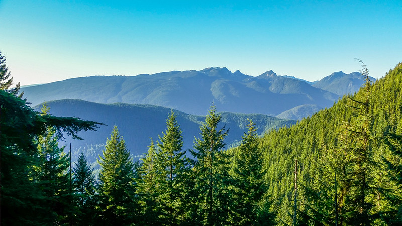
I’ve been up Eagle Mountain a number of times this year, but this is the first time I went north past Lindsay Lake. We started at 8:45 am on Sunday, November 30th and when we were nearing Polytrichum Lookout, we saw a guy in short sleeves carrying a large rock on his way down. He said he goes to the falls (I assume Foy Falls) and back with the rock and that is part of his workout. It was -6 to -9 at that point.
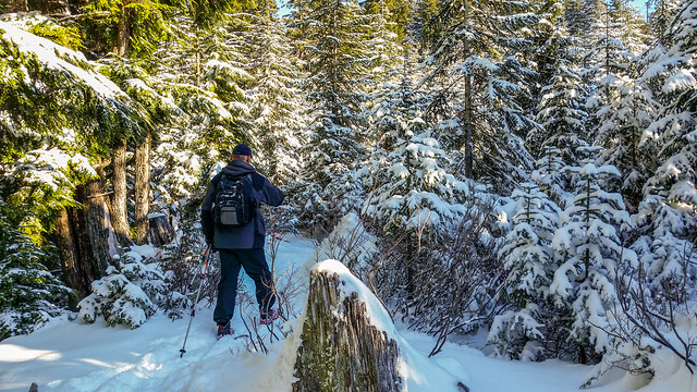
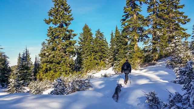
This was my first long hike in such cold weather. I started off with 3 merino wool shirts and a poly jacket – soon after the ascent, I was too warm and took off two shirts. The remainder of the hike was with one shirt and the jacket and I was fine. Anyways, we ventured on and as we passed El Paso Junction, we took the East Loop and made fresh tracks from there. The snow was about 3 to 6 inches, but up to 9 inches in places.
Today’s Stats were:
Total Distance: 16.2 km
Elevation gain: 1104 m
Total elevation gain: 1508 m
Min elevation: 134 m
Max elevation: 1238 m
The route:
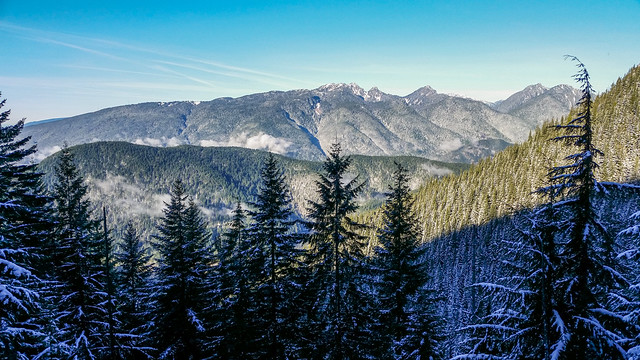
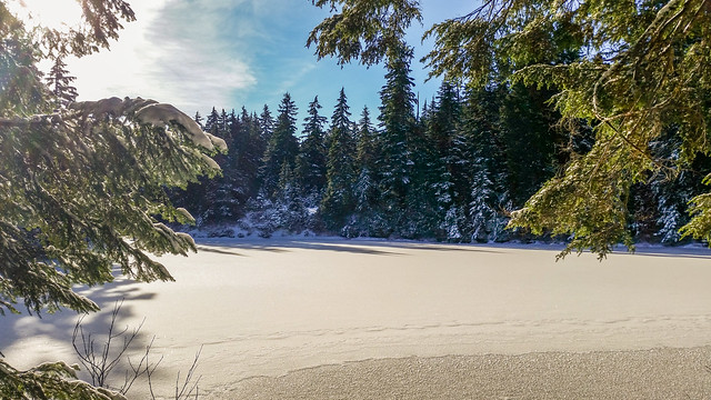
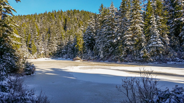
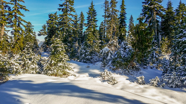
The lakes looked beautiful with their snow-covered icy surfaces.
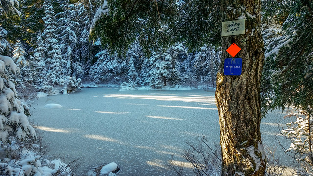
We reached Lindsay Lake Junction just after 11:00 am, still punching through fresh snow. We then headed north to Mt. Beautiful. The sign is pretty useless and has been so for a number of years.
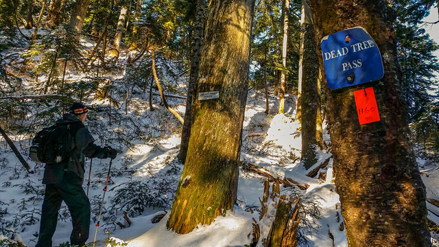
Anyways, onward and upward… 30 mins later we went through Dead Tree Pass…
And at 11:45 am we reached Tangled Summit…
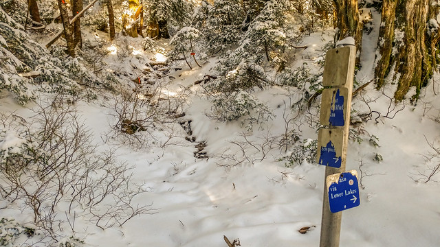
The trails had been marked generally good since Lindsay Lake, but from here the trail markers were hard to find. We were at Tangled Summit and could see no trail markers.
Keep in mind, I had two GPS devices preloaded with the route, so I always knew if we went off track.
So, we took our best guesses as to where the trail was and kept checking with the GPS to ensure we were on track.
After wasting some time find trail markers, we made it to Mt. Beautiful at 1:45 pm. As we were approaching Mt. Beautiful, we actually took a slight detour, but were parallel with the trail. At this point, I knew time was not on our side and I didn’t bother getting photos from Mt. Beautiful.
We then kept travelling, looking for the elusive trail markers and we finally got to the top of the Swan Falls trail at 2:15 pm. Trail markers were great all the way down and we had no problems. Around the 350 m elevation mark, the time was 3:45 and I called the Warden’s office to tell them we would be coming down slightly after gate closing time and they left the gate open for us – Thanks to them !
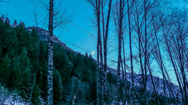
Well, we got to Power House road at 4:20 and walked back to the car in the moonlight.
I can now see why there are so many rescues up there. If we didn’t have GPS, we would have been another news story! I can really appreciate the hard work that goes into high mountain rescues.
Besides the GPS, the other thing that really made the hike easy, was Kahtoola microspikes – I highly highly recommend them !
★★★★★★★★★★★
Before heading out on your hike, make sure you are well prepared. This means, having the TEN ESSENTIALS. It is also important to leave a trip plan (route details and estimated return time) with someone you trust.
Bring your smartphone, fully charged and put it in airplane mode while hiking. I always bring back-up battery packs for extra piece of mind. It is highly recommended that you bring a GPS device; I use my smartphone with a GPS app (Backcountry Navigator). The GPS will work in airplane mode. Learn how to use it before your hike.
For anyone new to hiking, there is a rule to which hikers follow; it is called “Leave No Trace” or LNT. The concept is generally to pack out what you pack in and respect nature, so all future visitors can enjoy what you have enjoyed.
To learn more about LNT, please check out this BLOG by a certified LNT Trainer.