Monthly Archives: May 2014

Blow Downs

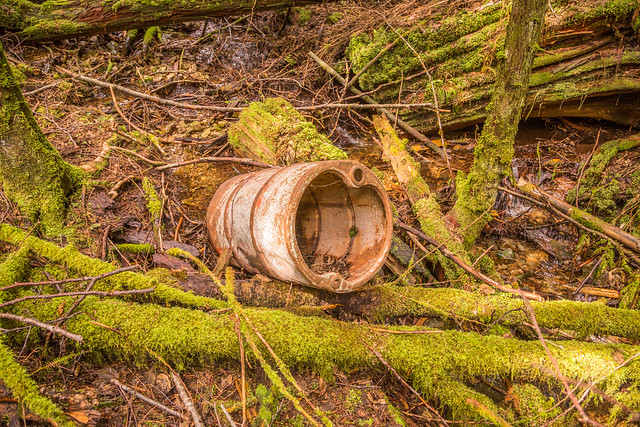
If you’re ever in the Buntzen Lake area after a storm, you’ll likely have seen some blow downs (downed trees) on the trails. This past February 2014 was bad – especially the night of February 15th, where about 5 large trees came down on the Buntzen Lake Trail.


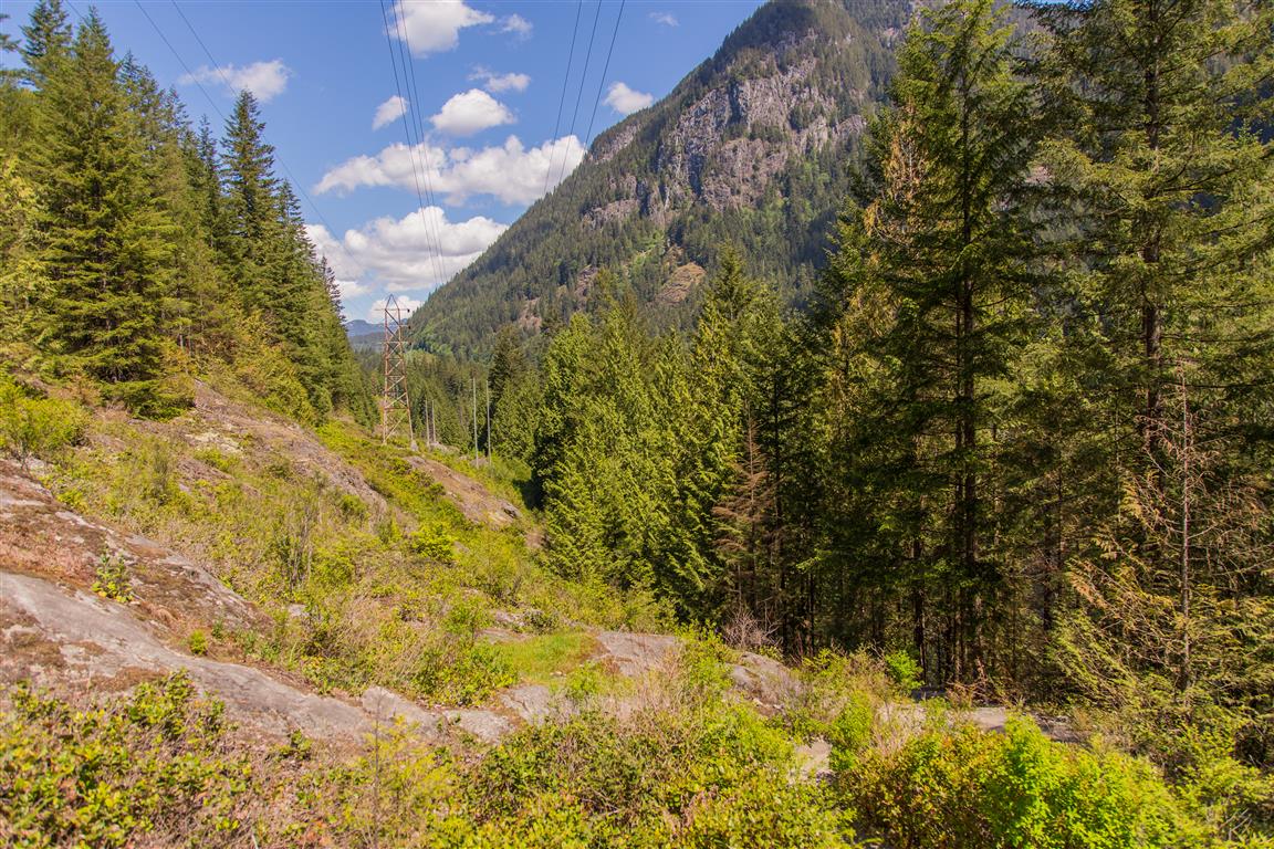
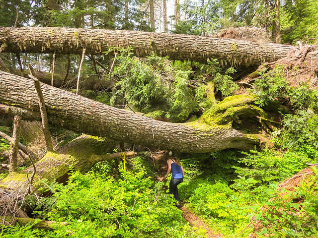
First, here are some large blow downs on Eagle Mountain, just east of the White Rock Viewpoint

Fallen trees

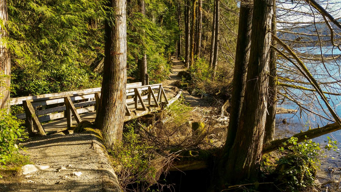
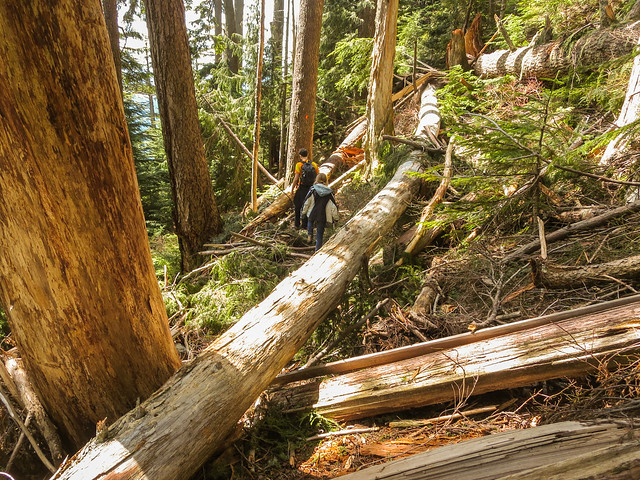
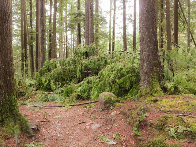
Here are some trees that came down on the Swan Falls Trail…

Trail


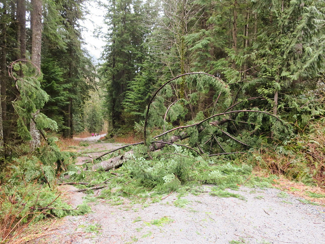
Here is a tree that came down on Powerhouse Road, near North Beach…

Fallen Tree on Powerhouse Road

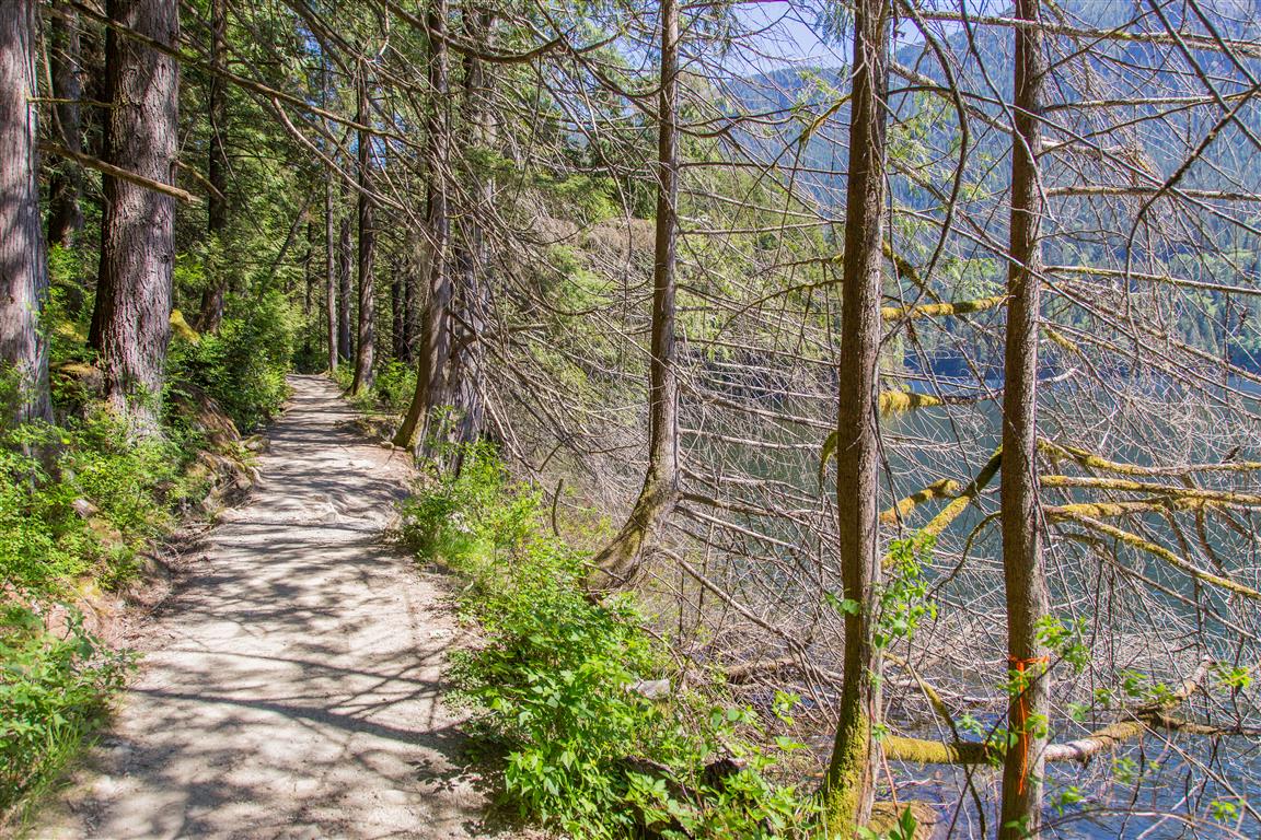
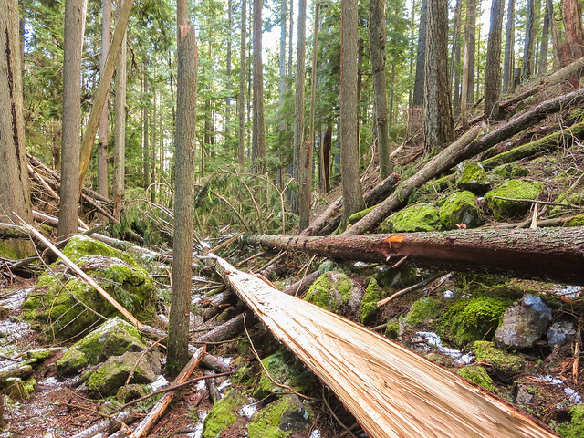
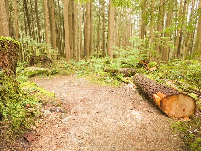
And here’s one that came down on Diez Vistas Trail…

Trees down on trail


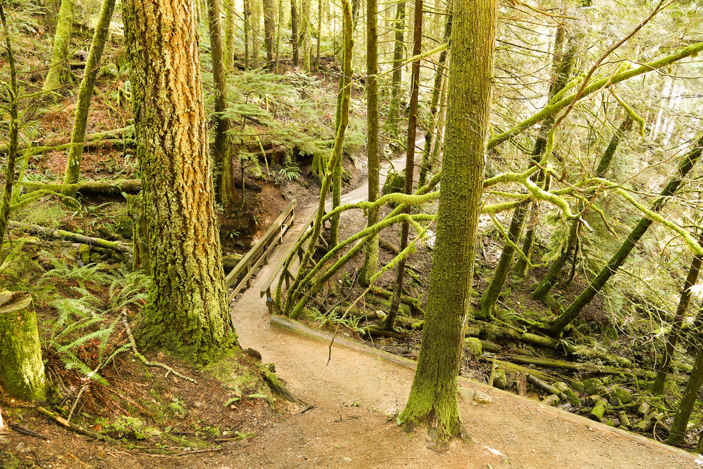
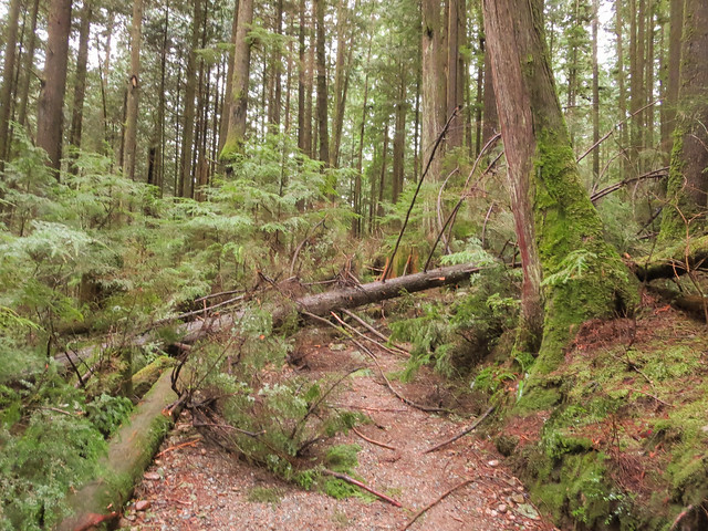
Here are two trees that came down on the Buntzen Lake Trail on February 15, 2014…

Fallen Tree

Fallen Tree

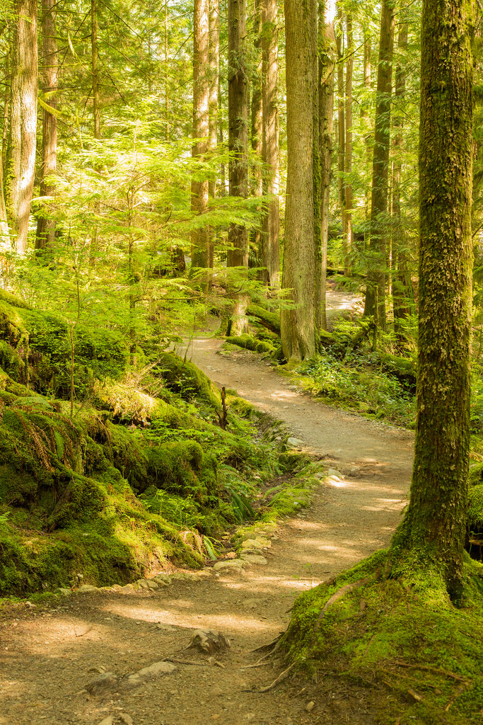
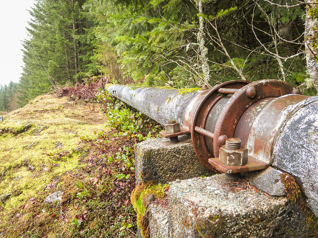
BC Hydro does a good job at clearing the trees after they have fallen – They’re usually cleared within a week at the most.


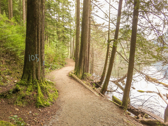
As a result of the many blow downs at Buntzen Lake, BC Hydro has completed an assessment of the trees that have the potential to fall on the trails and they are cutting them down to be proactive. Many of the trees are/were leaning towards the trail or are/were dead. If you see a tree with a spray-painted number in blue paint, it is an assessment tree and will be cut down.

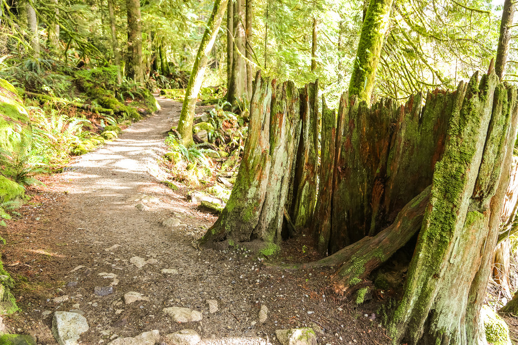
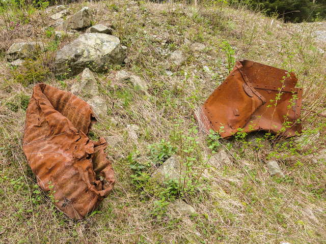
Here are some trees that have been cut down near the old floating bridge area…

Assessment trees being cut down

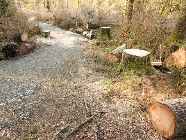
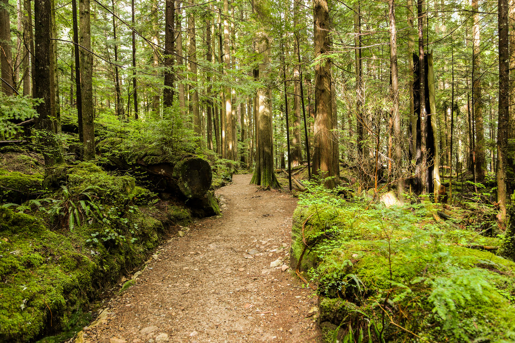
Over the past few weeks in May 2014, BC Hydro accelerated their tree cutting. Below are a few more pictures of the cut trees…

Tree cutting today

Tree cutting on trail


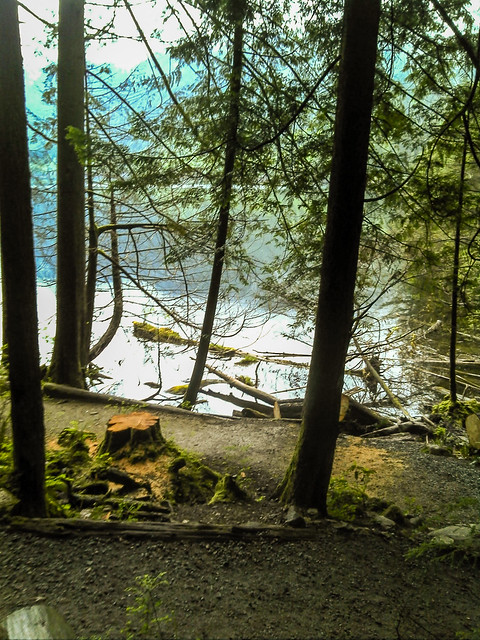
And here was a big blow down on the west side of the lake…

Big tree cut down

Here’s a photo of the tree one month earlier…

Number 105


Buntzen Lake Loop


The Buntzen Lake loop is the most popular trail in the park. This 10 km route can be done as fast as 45 min if you’re running and up to 6 hours if you just take your time, enjoy the views and have a picnic.

Route from GPSIES (click on ‘Details’ for large image)…

Route from Google Earth…

Untitled-1

Buntzen Lake is situated at roughly 130 m above sea level and the highest point on the trail is around 225 m. The single highest elevation gain on the trail is 70 m over 1.1 km.

I usually do the loop starting on the west side of the lake (starting at the old floating bridge area, now mostly a land bridge); some people prefer the other way. The west side is hillier, longer and more shaded. When taking this route, you’ll see this view at the half way point…

Buntzen Lake Trail

Also, starting on the west side, once you reach North Beach, you will have completed 60% of the loop. Here is North Beach…

North Beach

Below are a few random trail photos…

Trail2 (Medium)

BL Trail

Stump on Trail

BL Trail 2

BL Trail 3

Buntzen Lake Trail

BL Trail 4

Early morning hike

Here’s a little video of one of my hikes around the trail in February 2014…

★★★★★★★★★★★

Before heading out on your hike, make sure you are well prepared. This means, having the TEN ESSENTIALS. It is also important to leave a trip plan (route details and estimated return time) with someone you trust.

Bring your smartphone, fully charged and put it in airplane mode while hiking. I always bring back-up battery packs for extra piece of mind. It is highly recommended that you bring a GPS device; I use my smartphone with a GPS app (Backcountry Navigator). The GPS will work in airplane mode. Learn how to use it before your hike.

For anyone new to hiking, there is a rule to which hikers follow; it is called “Leave No Trace” or LNT. The concept is generally to pack out what you pack in and respect nature, so all future visitors can enjoy what you have enjoyed.
To learn more about LNT, please check out this BLOG by a certified LNT Trainer.

★★★★★★★★★★★

Industrial Decay

Industrial activities have been occurring at Buntzen Lake since the early 1900s.  The activities include: building of the tunnel, dam, penstocks, pumphouses, and electrical transmission lines. During my many hikes in the area, I have seen several examples of what I call industrial decay.


Below is a discarded and broken ceramic insulator I saw on Pumphouse Road…

Discarded Ceramic Insulator

Near the pumphouse, you can see the old pipeline exiting this 25 m metal cylindrical tube
I think its some sort of back flow prevention…

Pipeline leaves 25 m length section with a 30 inch diameter


Next is a detail view of something on the top of the above shown cylinder…

Old piece of pipeline

The area around north beach was recently (May 2014) scanned for artifacts by someone and the artifacts were on display on the memorial. I think this is very cool. Below is a photo of the artifacts…

Artifacts


There is a shortcut from Diez Vistas Trail to Lakeview Trail, following a creek.
To my surprise, I saw this discarded industrial metal drum…

Discarded Industrial Drum

Close to the dam, I found these chunks of metal, which may have been sections of the original penstocks…

Scrap Metal


And here is a detail view of the manufacturer’s plate;
It reads… ‘BC Iron Works Vancouver, BC’…

BC Iron Works Vancouver, BC

Below is a section of the old water pipeline that was built in the early 1960s…

Pipeline

And here’s an interesting apparatus on a section of the pipeline…

Interesting apparatus on pipeline

Below are some old concrete hydro pole stands…

Discarded and Forgotten

And next is a detail shot of rusty bolts on a hydro pole stand…

Rusty Bolts


Here’s another photo of redundant hydro pole stands…

Redundant

I saw this old wooden hydro pole on the Old Buntzen lake Trail…

Old hydro pole