Monthly Archives: April 2014

Lakeview Trail


Lakeview Trail is, in my opinion, Buntzen Lake Trail’s bigger brother.  This trail is an alternate route to traverse the west side of Buntzen Lake.  There are more ups and downs and it’s about 1km longer than the Buntzen lake Trail. After completing Lakeview Trail, I usually take the east side of Buntzen Lake back to the parking lot. There is a great viewpoint of Swan Falls and the North Beach area near the end of the west side traverse.

The stats…

Distance: 12 km
Time: 2-4 hours
Low point: 125 m
High point: 220 m
Elevation gain: 95 m
Cumulative Elevation gain: 500 m
Trailhead: 49° 20’ 11.3” by 122° 51’ 29.7” (Google Map)

Here are the photos…

Lakeview Trail

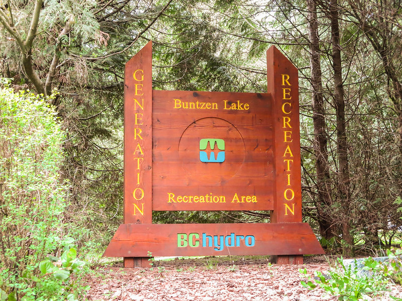
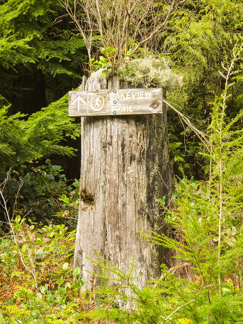
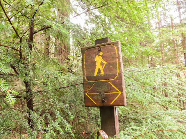
Lakeview Trail commences at the Pump House.
See location HERE (its the left route option).

Here is the route (click on ‘details’ for larger image)…

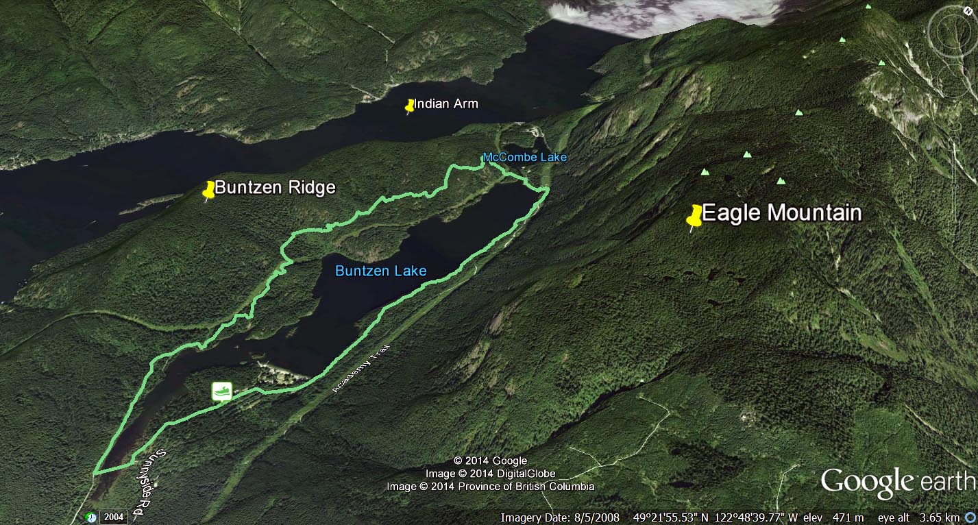
Here’s a map of the area from Google Earth (click on image for large size)…

lakeview trail

A comparison of the Lakeview Trail / West Side of the Buntzen Lake Trail shows:
Total one-way distance from the pumphouse to the suspension bridge is 4.9 km vs. 4.1 km;
Maximum elevation gain is 150 m vs. 100 m; and
Cumulative elevation gain is 240 m vs. 130 m

The route statistics, when returning on the east side of Buntzen Lake, are:
Distance: 10.9 km
Maximum elevation gain: 150 m
Cumulative elevation gain: 340 m

Besides a more strenuous hike, Lakeview Trail is much less busy than the Buntzen Lake Trail and it is also used by bikers and horses, which I have seen very few. You’ll see more large trees (1 m diameter) and fewer large tree stumps.

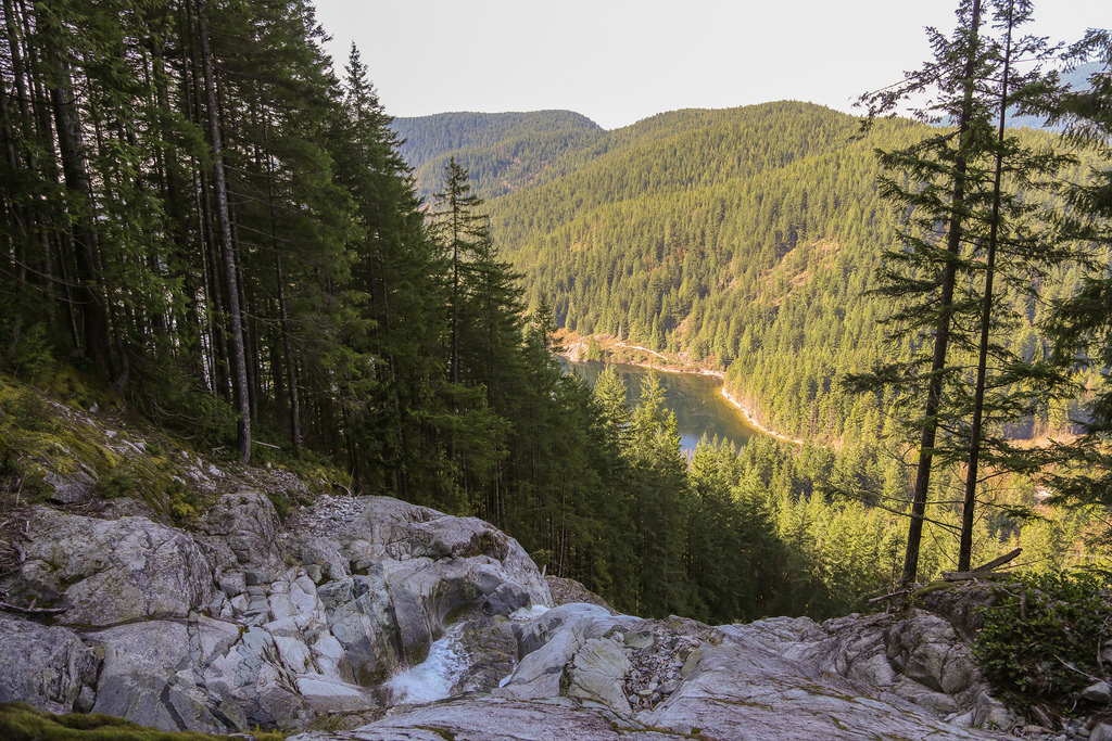
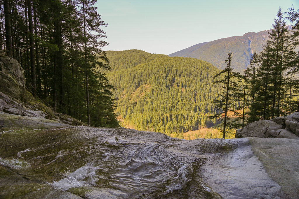
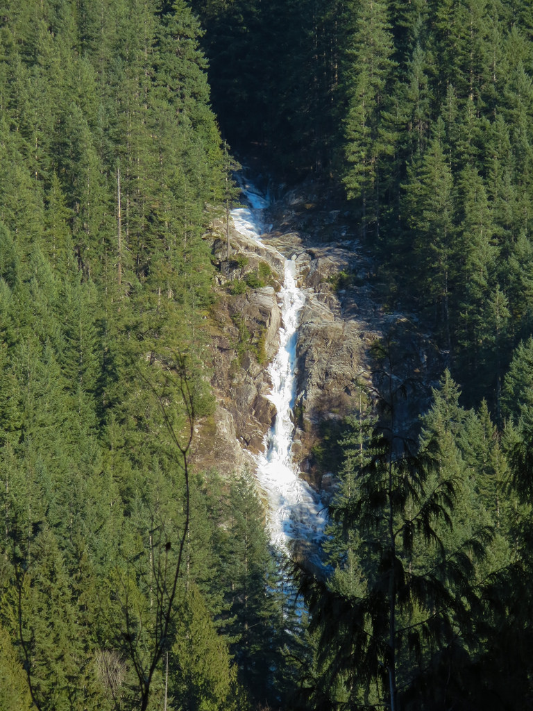
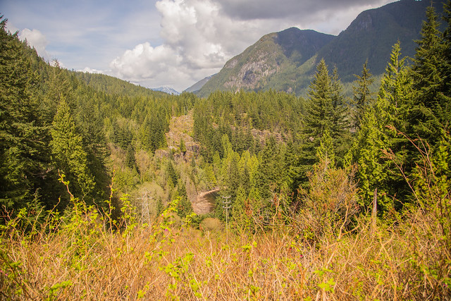
Below is a nice view you’ll see on the hike…

Nice View

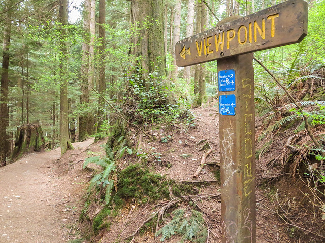
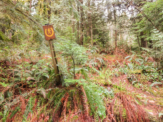
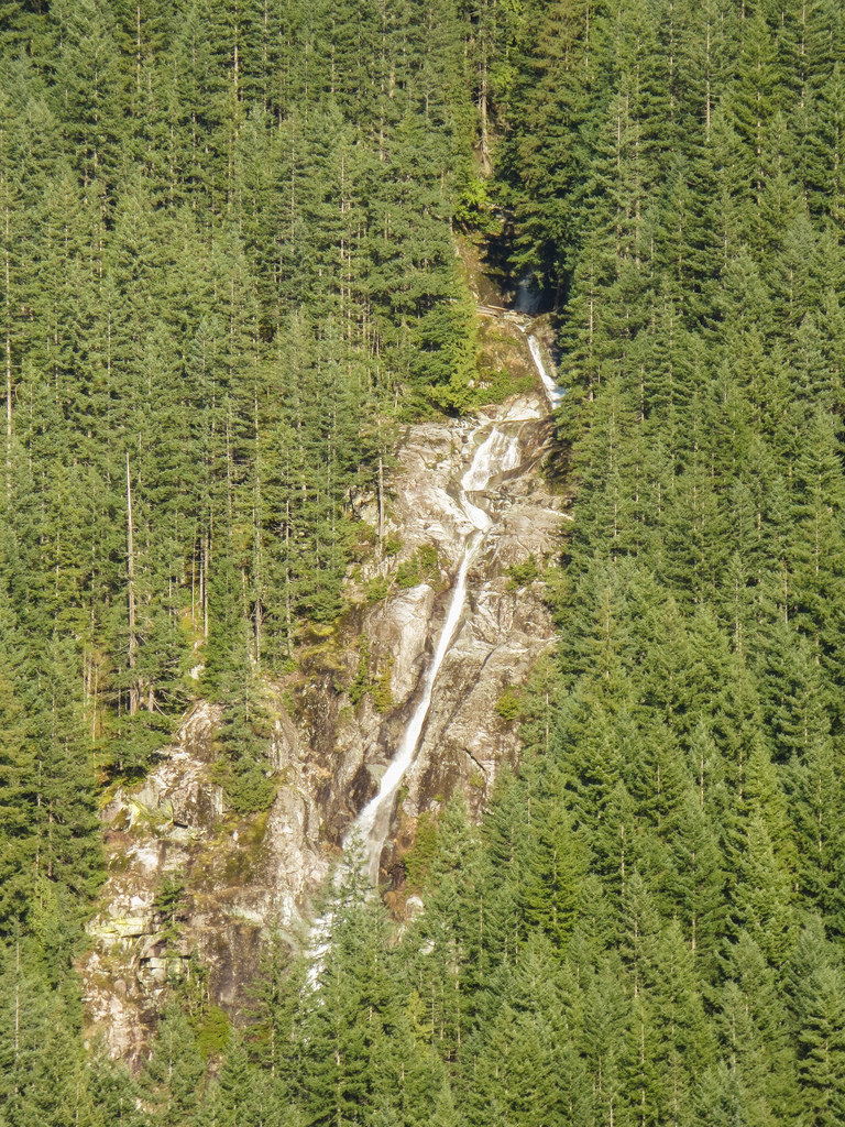
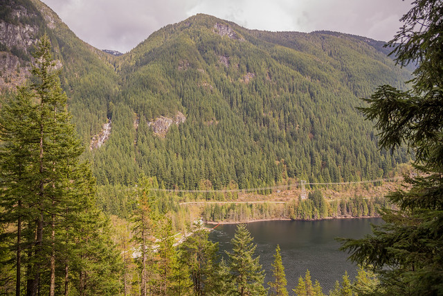
There are signs for two viewpoints, but the southern ‘viewpoint’ is obstructed by trees. The northern viewpoint is at 250 m elevation and you see a great view of North Beach, Swan Falls, the Tunnel and Eagle Mountain. See below…

Viewpoint from Lakeview Trail

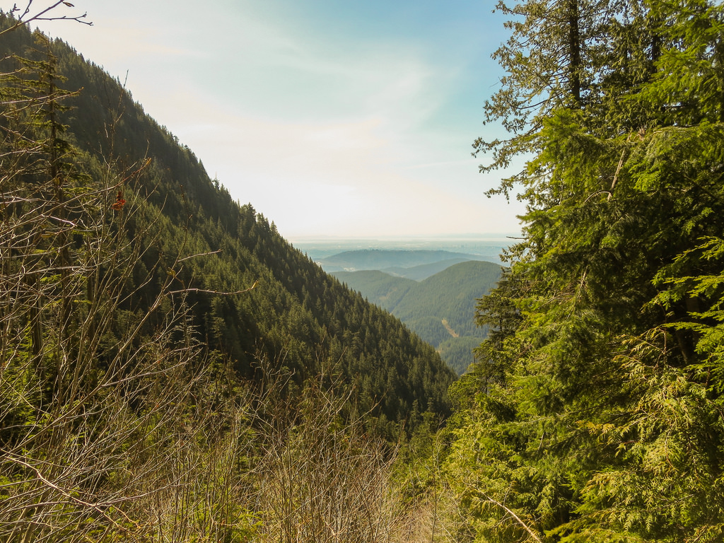
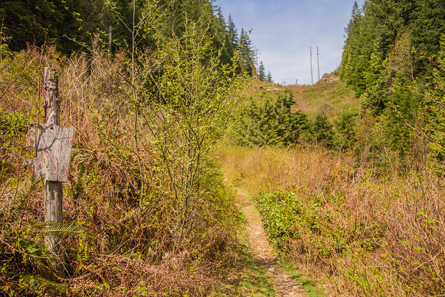
Below is a view of the Lakeview trail as it passes along the hydro right-of-way, before entering the forest again…

Old sign

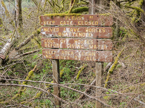
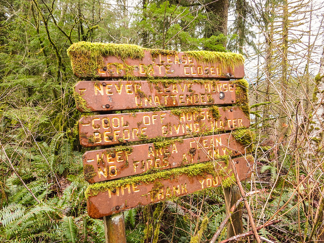
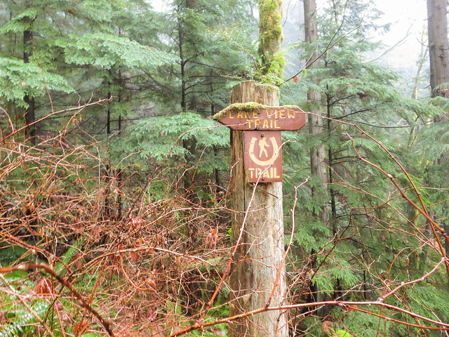
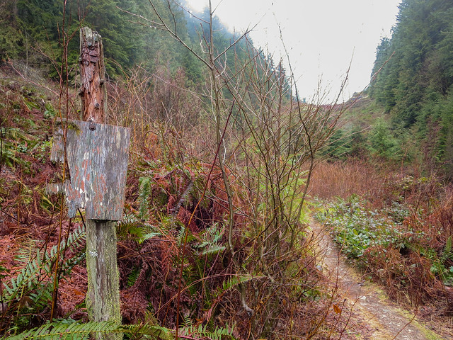
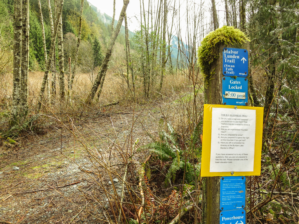
Here is an old Lakeview Trail sign…

Lakeview Trail sign

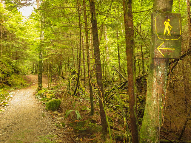
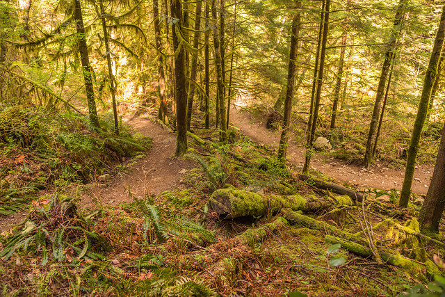
This photo shows where the Lakeview Trail runs close to the Buntzen Lake Trail…

Trails almost collide

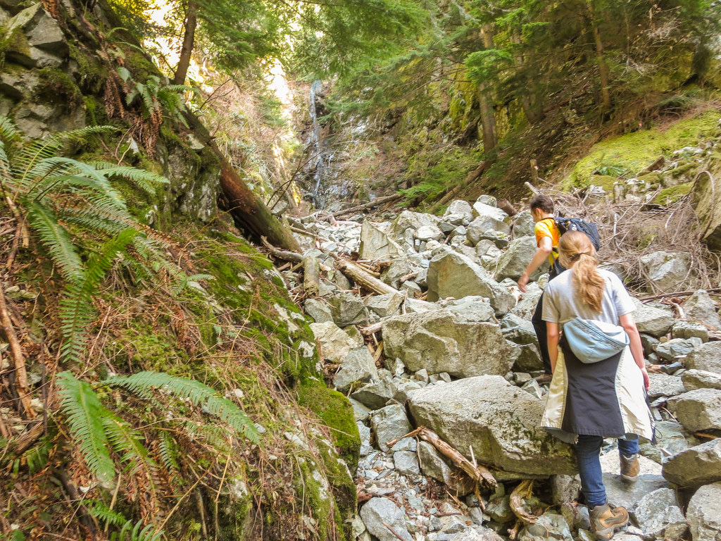
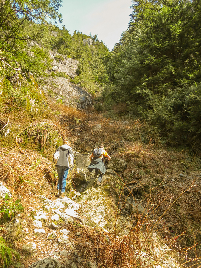
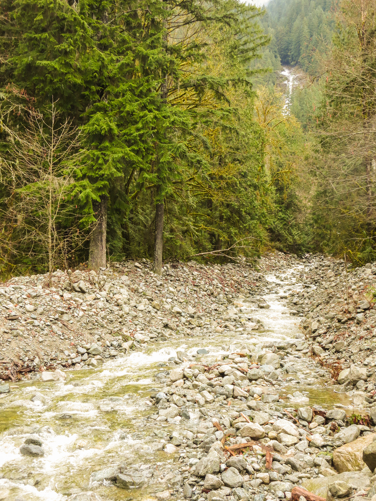
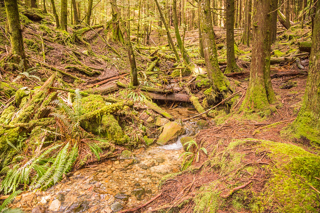
Below is a creek that flows alongside a section of the Lakeview Trail…

Creek

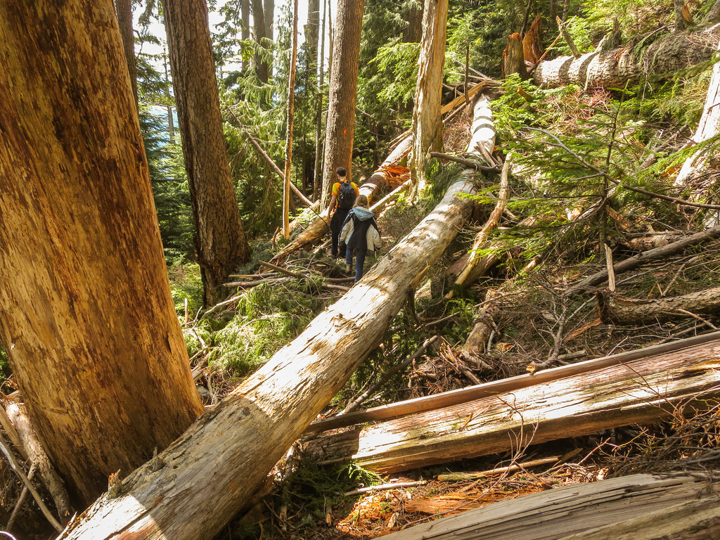
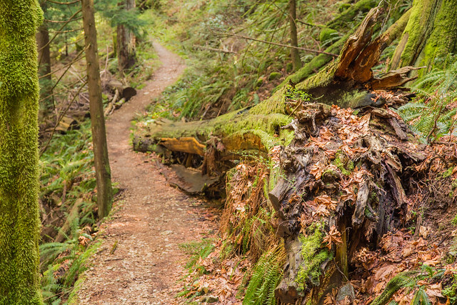
Next is a large downed tree alongside the trail…

Large tree alongside trail

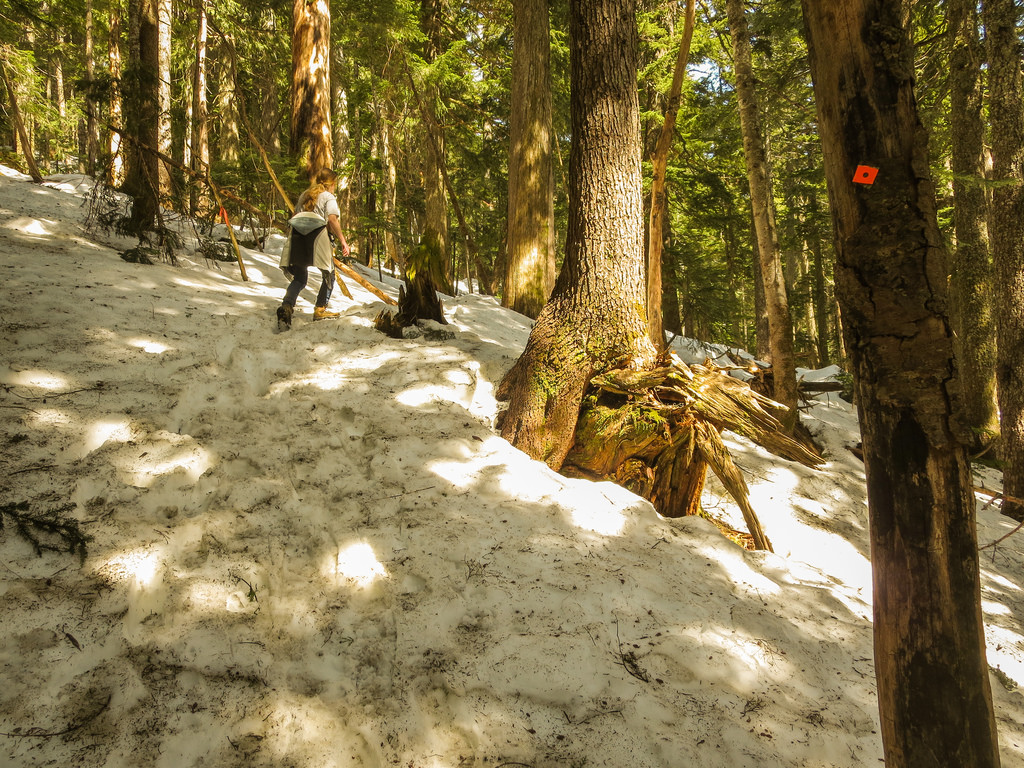
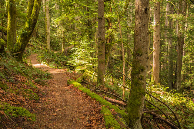
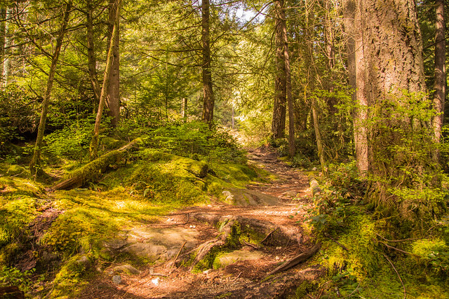
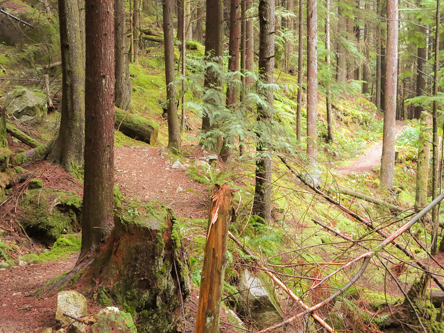
Here are a couple more serene Lakeview Trail photos…

Lakeview Trail

Lakeview Trail

★★★★★★★★★★★

Before heading out on your hike, make sure you are well prepared. This means, having the TEN ESSENTIALS. It is also important to leave a trip plan (route details and estimated return time) with someone you trust.

Bring your smartphone, fully charged and put it in airplane mode while hiking. I always bring back-up battery packs for extra piece of mind. It is highly recommended that you bring a GPS device; I use my smartphone with a GPS app (Backcountry Navigator). The GPS will work in airplane mode. Learn how to use it before your hike.

For anyone new to hiking, there is a rule to which hikers follow; it is called “Leave No Trace” or LNT. The concept is generally to pack out what you pack in and respect nature, so all future visitors can enjoy what you have enjoyed.
To learn more about LNT, please check out this BLOG by a certified LNT Trainer.

★★★★★★★★★★★

Rough-skinned Newt

Today on the Buntzen Lake Trail, I saw a little Rough-skinned Newt.  It was on Pump House Road, just steps from the bridge. When I posted this on Flickr, someone thought it was a Western Redback Salamander, but Ivan Phillipsen, of Wild Pacific Northwest, informed me that it was a Rough-skinned Newt.


It blended in with the road so well, I almost walked right past it.

Rough-skinned Newt (Taricha granulosa)

Luckily, I took my good camera today so I could get a good shot.

After I finishing taking my photos, I used a stick to take him to the side of the trail. He was stiff as a board. I hope that is a defence mechanism !


This amphibian is much more commonly seen than the Western Red-backed Salamander, because the newt walks around in the open, whereas the salamander is much more secretive.

Toxin-resistant garter snakes are the only known animals today that can eat a rough-skinned newt and survive.

In evolutionary theory, the relationship between the rough-skinned newt and the common garter snake is considered an example of co-evolution. The mutations in the snake’s genes that conferred resistance to the toxin have resulted in a selective pressure that flavors newts which produce more potent levels of toxin. Increases in newt toxicity then apply a selective pressure favouring snakes with mutations conferring even greater resistance. This cycle of a predator and prey evolving to one another is sometimes termed an evolutionary arms race and has resulted in the newts producing levels of toxin far in excess of what is needed to kill any other conceivable predator.


Old Signs

During your visit to Buntzen Lake, you’ll notice several old signs around the area. The signs are wood, with yellow lettering (Except for the first example below, which has more colours). Below is the sign at the entrance to the park…


Big Sign

By the way, follow this link to see what the entrance  sign looked like in 1995.


Some of the signs are in low traffic areas and many people never seen them, such as these two signs near the Swan Falls trailhead…

Old sign

Old mossy sign in bushes


Here are two signs, you’ll see by the parking lot…

Boat Launching sign

Dogs sign

At south beach, you’ll see this sign…

Warning sign


Even the Warden’s office has a little sign…

Warden sign

There are a few ‘Viewpoint’ signs around on the trails. Here is one that is located on the east side of the Buntzen Lake trail…

Viewpoint sign

Here are two old Lakeview Trail signs…

Lakeview Trail Sign

Lakeview Trail sign


The next two photos are on the west side of the Buntzen Lake Trail. I’m not sure what help these signs are. There are no really alternate ways to go !!

Old sign on the trail

Old hiking sign

Here is a tiny equestrian sign on pumphouse road…

Equestrian sign

And below is a sign that has seen better days !!

Old sign

Be Bear Aware

Salmonberry

I took this photo of a Salmonberry Flower at Buntzen Lake. Salmonberries are seen throughout the Buntzen Lake area, more so in sunny locations where the sun can reach the ground surface. In May, these flowers will turn into fruit and bears will be looking for a nice meal ! Bears will also get great meals from blackberries, blueberries and huckleberries to name a few.


I’ve hiked the Buntzen Lake area for a number of years, completing hundreds of hikes and have seen a bear only once, which was on the Old Buntzen Lake Trail right HERE in July 2013. The bear was not concerned with me and was content with the salmonberries or blackberries.

The thing with bears, is that you don’t want to startle them – usually if they know you’re coming, they’ll stay away.  Usually they can hear the sound of your walking, but not always. If I’m alone and in a low traffic area, I will make noise by banging two rocks together or anything that I can find.


I also met two different bears on a walk on the Deboville Slough in Northeast Coquitlam in the Summer of 2013. They were so happy with the blueberries and the blackberries, they could care less about me. They also didn’t have cubs !

Here’s are photos of the bears at Deboville Slough in August 2013…

Having a glance

Put on the brakes !


Here is a great resource if you want more info on bears…  www.bearsmart.com

Swan Falls

Today, I ventured up on Eagle Mountain for the first time. Specifically, I went up the Swan Falls trail. I knew the possibility of snow at high elevations was likely, so the plan was to go up as far as I can and turn around when the snow makes trekking difficult. Unfortunately, the cell phone could not get a GPS signal, so I couldn’t determine the elevation at the turn-around point, but I’d guess it to be 800 or 900 m. Below is my route for today…


Today was an amazing April day. It was sunny with a high close to 20C. However, on the ascent, it was cool (still shaded) and there was breeze, but it was all good. I would say the highlight was the view from the Falls, which are at about 300-350m elevation. Below is a view from the falls looking west, towards Buntzen Lake…

View from Swan Falls

Just before reaching the falls, there is a 45 degree incline, where there is a rope to assist you; see below…

Rope Climb

Here is a view on the falls…

Swan Falls

And here is another scenic view…

Great View

Below is a random trail picture…

Trail


Next is our traverse through the Lower Gully…

Lower Gully

And here is our traverse through the Upper Gully 30 mins after the Lower Gully…

Upper Gully

Next is a photo near where we turned around. The snow was getting quite deep…

Deep Snow

At the trailhead, on the service road, you can see the falls and the creek, which drains into McCombe Lake…

Swan Falls Creek

Below is a view of Swan Falls from across McCombe Lake and the next one is when the falls were frozen in early February 2014…


Swan Falls 2

Frozen Swan Falls

Here is the sign at the trailhead, with a warning…

Sign at Trailhead